
Photo: Wikipedia
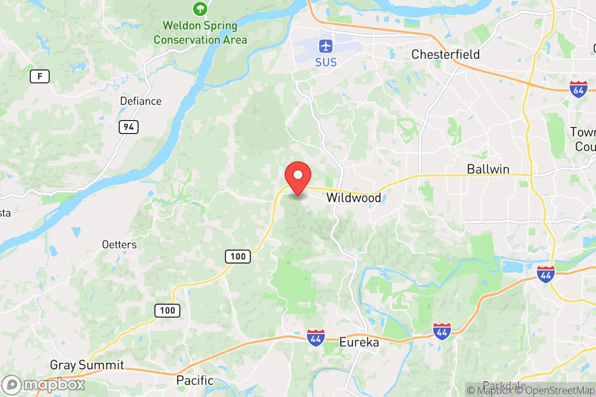
Demographics of Wildwood, MO
Affluence Level in Wildwood, MO
An upper-middle-class area. Household wealth, education levels, and homeownership run ahead of national benchmarks.
People of Wildwood, MO
The people of Wildwood, Missouri, today number roughly 35,168, forming a predominantly white, highly educated, and family-oriented suburban community. With 68.2% of adults holding a college degree and a median household income well above the national average, the city is characterized by large-lot homes, equestrian properties, and a strong emphasis on privacy and low-density living. The population is notably less diverse than the broader St. Louis region, with a foreign-born share of just 2.5%, though a distinct Indian-subcontinent community (4.0%) and a smaller East/Southeast Asian population (2.6%) represent the most visible non-white groups. Wildwood’s identity is rooted in its deliberate post-1970s planning as a refuge from urban density, and its residents continue to value space, nature, and conservative-leaning local governance.
How the city was settled and grew
Wildwood’s human history is not one of pioneer homesteads or 19th-century river towns. The area that is now Wildwood remained sparsely populated farmland and forest through the early 1900s, with no incorporated town center. The first significant wave of settlement came in the 1960s and 1970s, when St. Louis County’s westward expansion reached the Meramec River corridor. Early residents were primarily white, middle-to-upper-middle-class families seeking larger lots and lower taxes than inner-ring suburbs like Kirkwood or Webster Groves could offer. The Clarkson Valley area, along Clarkson Road, became the first cluster of subdivisions, with homes built on former orchard and dairy land. The Shepherd of the Hills neighborhood, developed in the late 1970s, attracted many of these early families with its mix of ranch-style homes and wooded acreage. The city was officially incorporated in 1995, largely to control its own zoning and prevent the higher-density development seen in neighboring Chesterfield and Ballwin. By that time, the population had already reached roughly 20,000, almost entirely white and native-born.
Modern era (post-1965)
Wildwood’s demographic story after 1965 is less about immigration and more about domestic in-migration from other parts of St. Louis County and the Midwest. The post-Hart-Cellar immigration waves that transformed cities like St. Louis City or University City largely bypassed Wildwood. Instead, the city grew through the 1990s and 2000s as a magnet for professionals working at corporate campuses in Chesterfield, Town and Country, and west St. Louis County. The Westglen Estates neighborhood, developed in the early 2000s, attracted many of these newcomers with its large custom homes and proximity to Interstate 64. The most notable non-white population to establish a foothold is the Indian-subcontinent community, concentrated in neighborhoods like Wildwood Crossing and Hunters Ridge, where many families moved for the highly ranked Rockwood School District. This group, now 4.0% of the population, is largely composed of professionals in technology, medicine, and engineering. The East/Southeast Asian population (2.6%) is smaller and more dispersed, with no single neighborhood majority. The Hispanic population (3.9%) and Black population (0.9%) remain very small, reflecting the city’s limited affordable housing stock and lack of rental options. Fox Creek, a newer subdivision near the city’s southern edge, has seen some Hispanic families move in, but the numbers remain negligible compared to the county average.
The future
The population of Wildwood is likely to remain stable or grow slowly over the next 10–20 years, as the city is nearly built out and zoning strongly favors large lots. The Indian-subcontinent community is the fastest-growing ethnic group, driven by continued professional migration to the St. Louis region’s tech and health sectors, and is expected to reach 5–6% of the population by 2035. This group is not forming a distinct enclave but rather assimilating into existing neighborhoods, particularly in the Wildwood Crossing and Hunters Ridge areas. The East/Southeast Asian population is plateauing, as younger generations often move to denser areas like Clayton or the Central West End after college. The white population, while still dominant at 82.8%, is aging; the median age is 44, and many empty-nesters are downsizing or moving to nearby retirement communities. The city is not tribalizing into ethnic enclaves—rather, it is slowly becoming slightly more diverse through professional-class immigration while remaining overwhelmingly white and native-born. The lack of rental housing and multi-family zoning means the city will likely never see the kind of rapid diversification seen in other St. Louis suburbs.
For someone moving to Wildwood now, the city is becoming a slightly more diverse but still highly homogeneous, affluent, and family-oriented suburb. The Indian-subcontinent community is the main source of demographic change, but it is a quiet, professional-class integration rather than a cultural shift. The city’s future is one of stability, low turnover, and a continued emphasis on space, schools, and conservative local politics. If you are seeking a community where your neighbors are likely to be white, college-educated, and politically conservative, and where diversity is present but measured, Wildwood fits that profile squarely.
* Values derived from national, state, county, city and local statistics and may differ in a specific area. Last updated: 2026-04-29T19:23:09.000Z
Narrative content on this page is AI-generated and may contain mistakes. Verify any details that matter before acting on them.
ReloMaps may earn a commission from affiliate links at no extra cost to you.