Photo: Wikipedia
Strategic Assessment of Woodburn, OR
Multiple tactical vulnerabilities. Population density, target proximity, or disaster risk are likely compounding. A retreat property and exit planning is required.
What does the Strategic Assessment tell us?
Our Strategic Assessment grades tactical survivability of an area. Major population centers, military targets, fallout zones, natural disasters, and border exposure all drive risk — lower exposure means a more defensible position in a crisis.
This is heavily inspired by Joel Skousen's Strategic Relocation book. Highly recommended you checkout the book ($)What does this tell us?
Our Strategic Assessment grades tactical survivability of an area. Major population centers, military targets, fallout zones, natural disasters, and border exposure all drive risk — lower exposure means a more defensible position in a crisis.
This is heavily inspired by Joel Skousen's Strategic Relocation book. Highly recommended you checkout the book ($)Strategic Pillars

Key Distances
Regional Safe Places
Below is our recommended "safe zones" in Oregon and the surrounding area based on our strategic heuristics. For most people, it's unrealistic to live in a “safe zone” full-time due to work, family or other personal reasons. They tend to be more rural. However, many of these areas are perfect for second homes and retreat properties that double as a vacation home or even a short-term rental.


Important Note: For informational purposes only. This does not mean nothing bad ever happens in the green zones. Please use common sense. This is based on public data and modeled with AI. We tried to take a conservative approach but mistakes happen. We update this regularly as new information becomes available.
Solar Generator Recommendations
Backup power matters more here than in safer locations. We've picked three solar generators across budgets and capacity tiers — start with the budget unit if you only need a few essentials, or step up if you want to run a fridge and HVAC for days at a time.

Jackery Portable Power Station Explorer 300
Budget OptionPower on the Go: Weighing only 11 lbs, it's convenient to set up and store with book-sized foldable solar panels

BLUETTI Portable Power Station AC180
Designed for both indoor and outdoor scenarios, AC180 is highly capable as it has a robost capacity and continuous output power.

EF ECOFLOW DELTA Pro Ultra Power Station
Upgraded PickEcoFlow DELTA Pro Ultra is a whole-home energy system designed to grow with your family. Integrated with the Smart Home Panel 2, it scales to meet your evolving energy needs — keeping your home powered, intelligent, and secure through every stage of life.
We earn a commission, at no additional cost to you.
Strategic Assessment Analysis
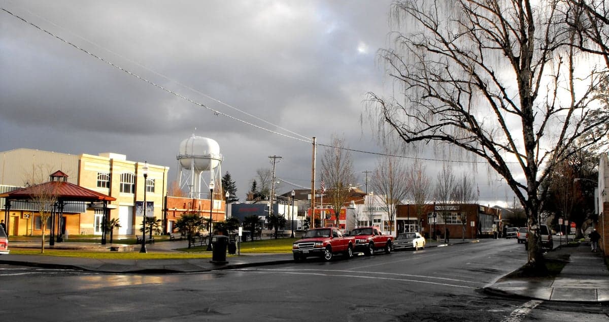
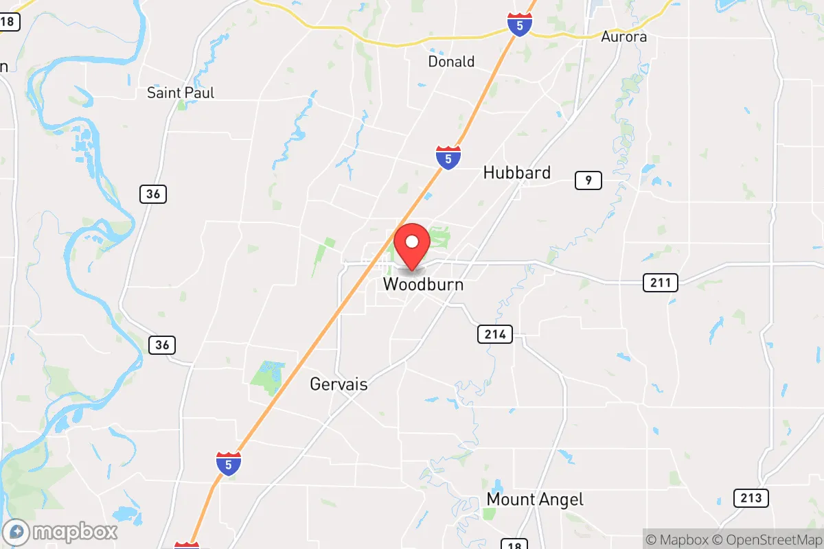
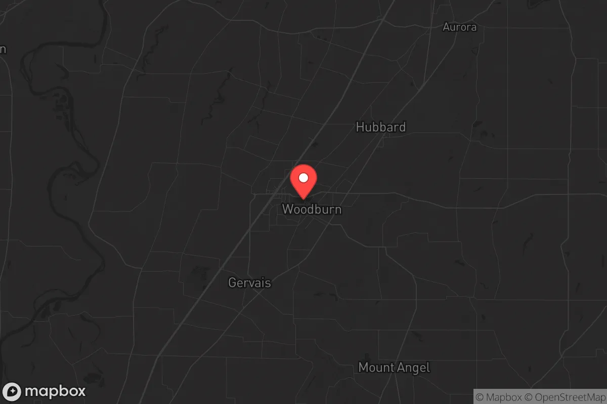
Woodburn, Oregon, sits in a strategic pocket of the Willamette Valley that offers a surprising blend of agricultural self-sufficiency and geographic insulation, making it a serious contender for anyone thinking long-term about resilience. Located roughly 25 miles south of Portland and 15 miles north of Salem, it avoids the direct blast radius and immediate fallout zones of either major city while still being close enough to monitor regional events. The area’s resilience is rooted in its position within the fertile Willamette Valley, its access to multiple water sources, and a local economy that still revolves around food production—factors that become critical when supply chains falter.
Geographic position and natural advantages for long-term stability
Woodburn’s location is its primary strategic asset. It sits on the eastern edge of the Willamette Valley floor, with the Cascade foothills rising about 15 miles to the east and the Coast Range about 30 miles to the west. This places it in a rain shadow of sorts—annual precipitation averages around 40-45 inches, enough to support robust agriculture without the constant flooding that plagues areas closer to the Willamette River. The city itself is built on well-drained alluvial soils, which means septic systems and private wells are viable options for those who secure land outside the urban growth boundary. The surrounding farmland is some of the most productive in the state, with hazelnut orchards, berry fields, and vegetable farms dominating the landscape. In a prolonged disruption, this local food production capacity is a tangible advantage—you’re not relying on trucked-in supplies from California or the Midwest. The nearby Abiqua and Molalla rivers provide additional surface water sources, and the Pudding River runs right through the southern edge of town. For a relocator, the ability to tap into groundwater or surface water without complex infrastructure is a major plus.
Risks, exposures, and proximity to fallout-relevant landmarks
No location is without vulnerabilities, and Woodburn has several that demand attention. The most obvious is its proximity to Interstate 5, which runs directly through the city. In a mass evacuation scenario—whether from a Cascadia Subduction Zone earthquake, a terrorist event in Portland, or a civil unrest cascade—I-5 becomes a choke point and a target. Woodburn’s population of roughly 27,000 could swell rapidly with refugees from the north and south, straining local resources. The city is also within 30 miles of the Portland International Airport (PDX) and the Port of Portland, both high-value targets in a conflict scenario. A conventional or dirty bomb detonation at either location would put Woodburn within the moderate fallout zone depending on wind patterns, though the prevailing westerlies would push contamination toward the Cascades, not directly over the valley. The nearby Chemawa Indian School, a federal facility, and the Woodburn Company Stores (a large outlet mall) are potential secondary targets for looting or symbolic attacks. On the natural disaster front, the area is in a moderate seismic zone—the Cascadia Subduction Zone could produce a magnitude 9.0 quake, and Woodburn’s alluvial soils are prone to liquefaction. The city’s building stock is mixed, with older structures in the downtown core that would not fare well in a major quake. Flooding along the Pudding River is a recurring issue, with several 100-year flood events in the past two decades. For a prepper, the takeaway is clear: secure a property on higher ground east of I-5, away from the floodplain, and plan for a self-sufficient water supply that doesn’t rely on municipal systems that could fail in a seismic event.
Practical resilience for a relocator: food, water, energy, and defensibility
Woodburn’s practical resilience hinges on its agricultural base and the ability to go off-grid without raising eyebrows. The city’s water comes from the Tualatin River watershed via the Joint Water Commission, but many rural properties within the city limits and in the surrounding unincorporated areas have private wells. Drilling a well here typically costs $8,000–$15,000 and yields 10–30 gallons per minute from the Willamette Valley aquifer—more than enough for a family and a small garden. The local climate supports year-round food production: cool-season crops like kale, carrots, and potatoes thrive, and the long growing season (roughly 180 frost-free days) allows for multiple harvests. The Woodburn Farmers Market and local CSAs are functional now, but in a crisis, direct relationships with nearby farms become invaluable. Energy resilience is more challenging. The grid is served by Portland General Electric, which is vulnerable to both seismic damage and cyberattacks. Solar is viable—the area gets about 150 sunny days per year, with good production from April through October—but winter cloud cover means battery storage and a backup generator are essential. Woodburn’s topography is flat, which limits natural defensibility. There are no hills, ridges, or natural barriers to slow an approaching threat. The city’s layout is a typical grid pattern with a few choke points (the I-5 overpasses, the railroad crossings), but it’s not easily fortified. For a relocator, the best strategy is to buy acreage on the eastern edge of the valley, toward the foothills, where you get elevation, tree cover, and distance from the main transportation corridors. The Woodburn Police Department is small (about 30 sworn officers) and would be overwhelmed in a major event, so personal security and community networks are critical. The local population is a mix of long-term farming families, Hispanic agricultural workers, and Portland expats—a diverse group that could either cooperate or fracture under pressure. Building relationships with neighbors who have complementary skills (mechanical, medical, security) is a smart move before things go sideways.
The overall strategic picture for Woodburn is cautiously optimistic for a relocator with a prepper mindset. It offers genuine agricultural self-sufficiency, multiple water sources, and a position that avoids the worst of Portland’s and Salem’s fallout zones while still being close enough to monitor regional developments. The risks are real—I-5 vulnerability, seismic liquefaction, and a flat terrain that’s hard to defend—but they’re manageable with the right property selection and preparation. For someone looking to get out of the urban chaos without going full remote, Woodburn strikes a workable balance. It’s not a bug-out location; it’s a live-in-place option that gives you a fighting chance to ride out the next decade’s disruptions. If you secure land east of the interstate, drill a well, and build a network with the local farming community, you’ll be in a better position than 90% of the population when the system hiccups. And given the trajectory of things, those hiccups are only going to get more frequent.
* Values derived from national, state, county, city and local statistics and may differ in a specific area. Last updated: 2026-05-04T16:15:39.000Z
Narrative content on this page is AI-generated and may contain mistakes. Verify any details that matter before acting on them.
ReloMaps may earn a commission from affiliate links at no extra cost to you.