
Photo: Wikipedia
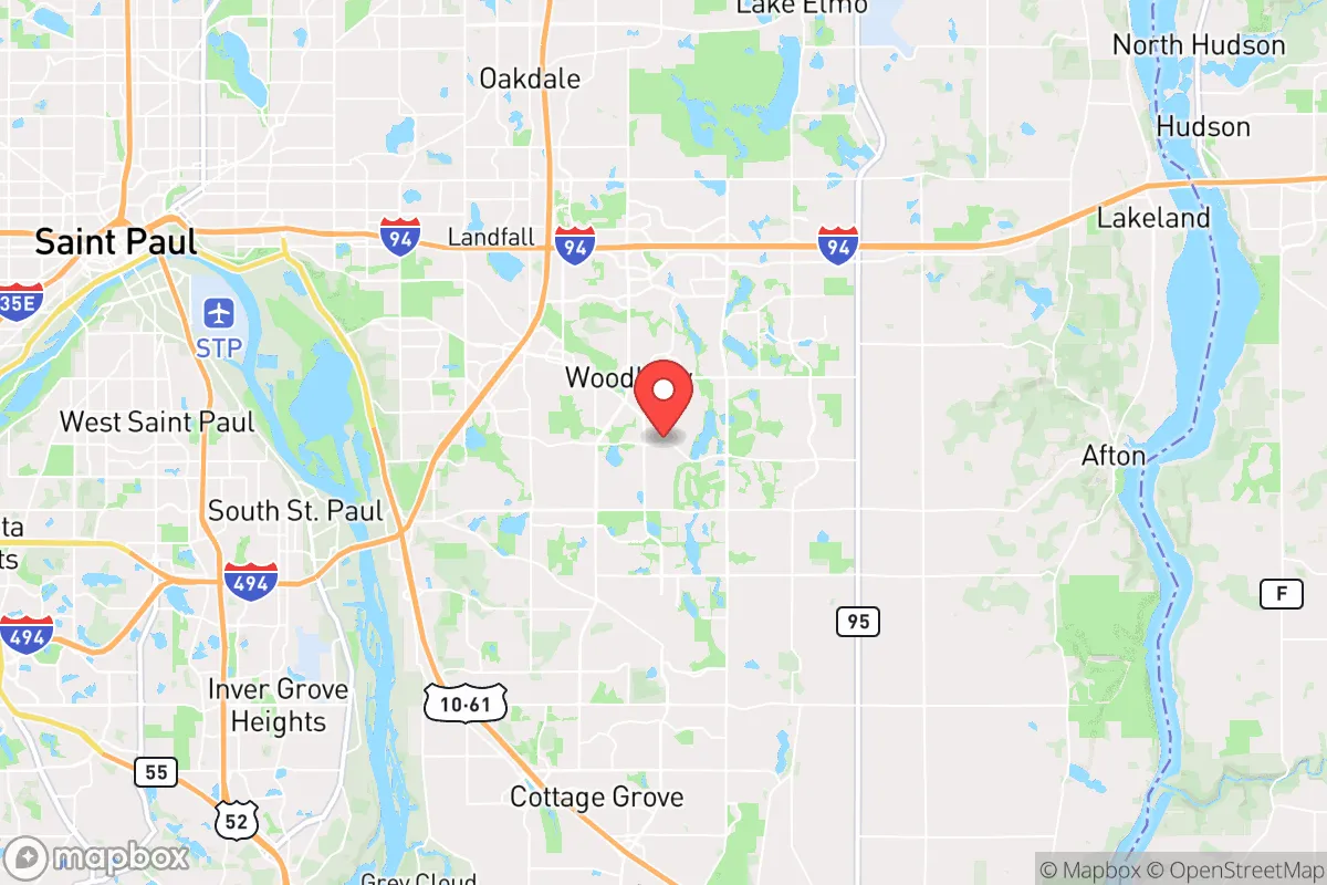
Strategic Assessment of Woodbury, MN
Meaningful friction. Expect exposure to either population pressure, blast zones, or natural disaster risk. Consider buying a retreat property.
What does the Strategic Assessment tell us?
Our Strategic Assessment grades tactical survivability of an area. Major population centers, military targets, fallout zones, natural disasters, and border exposure all drive risk — lower exposure means a more defensible position in a crisis.
This is heavily inspired by Joel Skousen's Strategic Relocation book. Highly recommended you checkout the book ($)What does this tell us?
Our Strategic Assessment grades tactical survivability of an area. Major population centers, military targets, fallout zones, natural disasters, and border exposure all drive risk — lower exposure means a more defensible position in a crisis.
This is heavily inspired by Joel Skousen's Strategic Relocation book. Highly recommended you checkout the book ($)Strategic Pillars

Key Distances
Regional Safe Places
Below is our recommended "safe zones" in Minnesota and the surrounding area based on our strategic heuristics. For most people, it's unrealistic to live in a “safe zone” full-time due to work, family or other personal reasons. They tend to be more rural. However, many of these areas are perfect for second homes and retreat properties that double as a vacation home or even a short-term rental.


Important Note: For informational purposes only. This does not mean nothing bad ever happens in the green zones. Please use common sense. This is based on public data and modeled with AI. We tried to take a conservative approach but mistakes happen. We update this regularly as new information becomes available.
Solar Generator Recommendations
Backup power matters more here than in safer locations. We've picked three solar generators across budgets and capacity tiers — start with the budget unit if you only need a few essentials, or step up if you want to run a fridge and HVAC for days at a time.

Jackery Portable Power Station Explorer 300
Budget OptionPower on the Go: Weighing only 11 lbs, it's convenient to set up and store with book-sized foldable solar panels

BLUETTI Portable Power Station AC180
Designed for both indoor and outdoor scenarios, AC180 is highly capable as it has a robost capacity and continuous output power.

EF ECOFLOW DELTA Pro Ultra Power Station
Upgraded PickEcoFlow DELTA Pro Ultra is a whole-home energy system designed to grow with your family. Integrated with the Smart Home Panel 2, it scales to meet your evolving energy needs — keeping your home powered, intelligent, and secure through every stage of life.
We earn a commission, at no additional cost to you.
Strategic Assessment Analysis
Woodbury, Minnesota, sits in a strategic paradox: it offers the infrastructure and economic stability of a well-funded Twin Cities suburb, yet its position within a high-density metropolitan corridor introduces significant vulnerabilities for anyone serious about long-term preparedness. While the city itself boasts robust emergency services and modern infrastructure, its location roughly 10 miles east of St. Paul places it within the immediate fallout zone of any major disruption targeting the metro area. For the conservative prepper or survivalist, Woodbury is a study in trade-offs—excellent day-to-day resilience paired with acute proximity to risks that could turn the city into a liability during a widespread crisis.
Geographic position and natural advantages for long-term stability
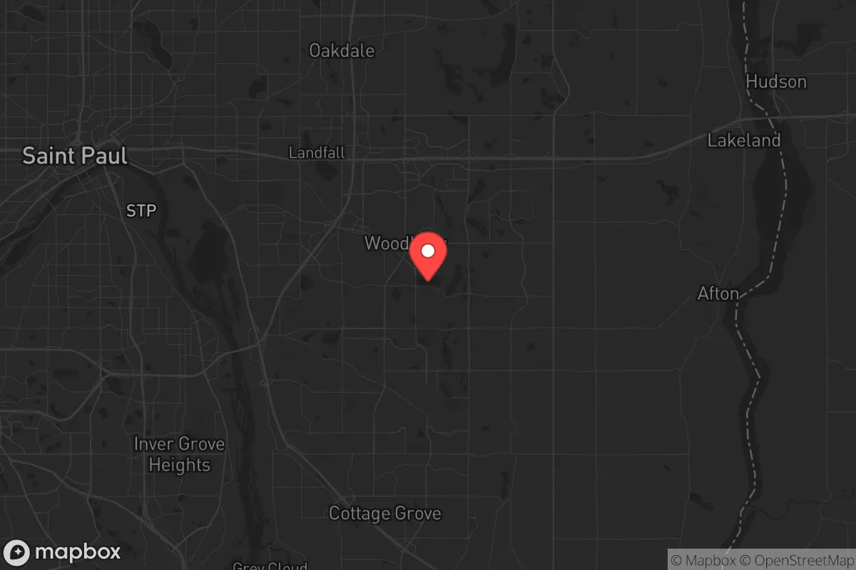
Woodbury’s geography is defined by its position on the eastern edge of the Twin Cities metro, straddling Washington County. The area sits atop the Prairie du Chien-Jordan aquifer, providing a relatively reliable groundwater source compared to many western suburbs. The St. Croix River forms the eastern border, offering a natural barrier and a potential water source, though access is limited by steep bluffs and private property. The city’s terrain is gently rolling, with scattered woodlots and wetlands that break up sightlines—a mixed blessing for defensibility. Winters are harsh, with average January lows near 8°F, which naturally limits outdoor activity and tests any off-grid heating plan. The region’s agricultural hinterland begins just east of the St. Croix, meaning that in a prolonged crisis, Woodbury residents would be closer to food-producing areas than those in Minneapolis proper. However, the city itself is heavily suburbanized, with over 70,000 residents packed into a 35-square-mile grid of cul-de-sacs and strip malls—not ideal for a retreat scenario.
Risks, exposures, and proximity to high-value targets
The single greatest vulnerability for Woodbury is its proximity to the Twin Cities metro, a region that contains multiple high-value targets in any national crisis scenario. The Minneapolis-St. Paul International Airport (MSP) is roughly 15 miles west, and the downtown cores of both cities are within 20 miles. In a major power grid failure, EMP event, or civil unrest scenario, Woodbury would likely experience cascading effects: refugees fleeing the urban core, supply chain collapse, and potential looting of the city’s numerous big-box retailers and warehouses. The city is bisected by Interstate 94, a major east-west artery that connects to both downtown St. Paul and western Wisconsin—this highway would become a chokepoint and a target during any evacuation or military movement. Additionally, the nearby 3M headquarters in Maplewood and the Xcel Energy facilities along the Mississippi River represent industrial and energy targets that could produce secondary hazards. Woodbury’s own infrastructure—a large water treatment plant, multiple electrical substations, and a regional hospital (Woodwinds Health Campus)—makes it a node in the metro’s critical systems, meaning it would be a priority for both government response and potential adversaries.
Practical resilience for a relocator: food, water, energy, and defensibility
For a relocator evaluating Woodbury as a base, the practical resilience picture is mixed. Water access is the strongest asset: the city’s municipal supply draws from deep aquifers, and many homes have private wells in the outlying areas. In a grid-down scenario, hand-pump conversions on existing wells are feasible, and the St. Croix River provides a backup source (though treatment would be mandatory due to agricultural runoff and upstream development). Food security is a major concern: Woodbury has no significant local agriculture within city limits. The nearest farmers’ markets are seasonal, and the city’s zoning heavily restricts livestock and large gardens. Relocators would need to establish relationships with growers in Washington County’s rural townships (e.g., Afton, Denmark Township) or plan for substantial pre-positioned food stores. Energy independence is achievable but expensive: the area gets adequate sun for solar (about 4.5 peak sun hours daily in summer), but winter cloud cover and snow accumulation reduce output significantly. Wood-burning stoves are common in older homes, but newer developments often have HOA restrictions that limit visible fuel storage. Natural gas is the primary heating fuel, which would fail during a prolonged grid outage. Defensibility is poor: the city’s layout—grid streets, open lawns, and minimal natural cover—makes it difficult to secure a single property against a determined group. The best options are homes on the eastern edge near the St. Croix bluffs, where terrain and lower density provide some natural advantage. Community-level defense is unlikely given the population density and lack of a cohesive prepper network; most residents are professionals who have not considered these scenarios.
Overall, Woodbury presents a calculated risk for the conservative relocator. It offers excellent baseline services, strong schools, and a low-crime environment for daily life—factors that matter for raising a family or maintaining a professional career. But its strategic depth is shallow. In a localized disaster (tornado, winter storm, brief power outage), the city’s infrastructure will hold up well. In a national-level crisis—economic collapse, civil war, or prolonged grid failure—Woodbury becomes a trap. The prudent approach is to treat it as a staging location, not a final retreat. Use it to build resources, network with rural contacts east of the St. Croix, and maintain a low profile. Have a bug-out plan that gets you across the river into Wisconsin within two hours of a trigger event. The city’s conveniences are real, but they come with a lease on a metro-area liability that no amount of suburban preparedness can fully offset.
* Values derived from national, state, county, city and local statistics and may differ in a specific area. Last updated: 2026-04-24T06:38:16.000Z
Narrative content on this page is AI-generated and may contain mistakes. Verify any details that matter before acting on them.
ReloMaps may earn a commission from affiliate links at no extra cost to you.