Photo: Wikipedia
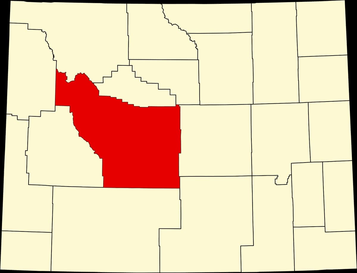
Strategic Assessment of Fremont County
Strong survivability profile. Good buffer from population centers, with manageable environmental and tactical risks.
What does the Strategic Assessment tell us?
Our Strategic Assessment grades tactical survivability of an area. Major population centers, military targets, fallout zones, natural disasters, and border exposure all drive risk — lower exposure means a more defensible position in a crisis.
This is heavily inspired by Joel Skousen's Strategic Relocation book. Highly recommended you checkout the book ($)What does this tell us?
Our Strategic Assessment grades tactical survivability of an area. Major population centers, military targets, fallout zones, natural disasters, and border exposure all drive risk — lower exposure means a more defensible position in a crisis.
This is heavily inspired by Joel Skousen's Strategic Relocation book. Highly recommended you checkout the book ($)Strategic Pillars

Key Distances
Strategic Assessment Analysis
Fremont County, Wyoming, offers a compelling strategic position for those prioritizing resilience and distance from major population centers, sitting squarely in the state’s central-western region with a population density of just over 4 people per square mile. Its location along the Wind River Range and the edge of the Red Desert provides natural barriers and resource access that are hard to beat in the lower 48, making it a serious contender for anyone looking to weather instability, civic unrest, or broader disruptions. The county’s sparse population—roughly 40,000 residents spread across 9,200 square miles—means you’re not dealing with the congestion or target density of places like Cheyenne or Casper, let alone the Front Range cities to the south. For a relocator with a conservative, self-reliant mindset, this area checks boxes that most of the country simply can’t offer.
Geographic position and natural advantages for strategic relocation
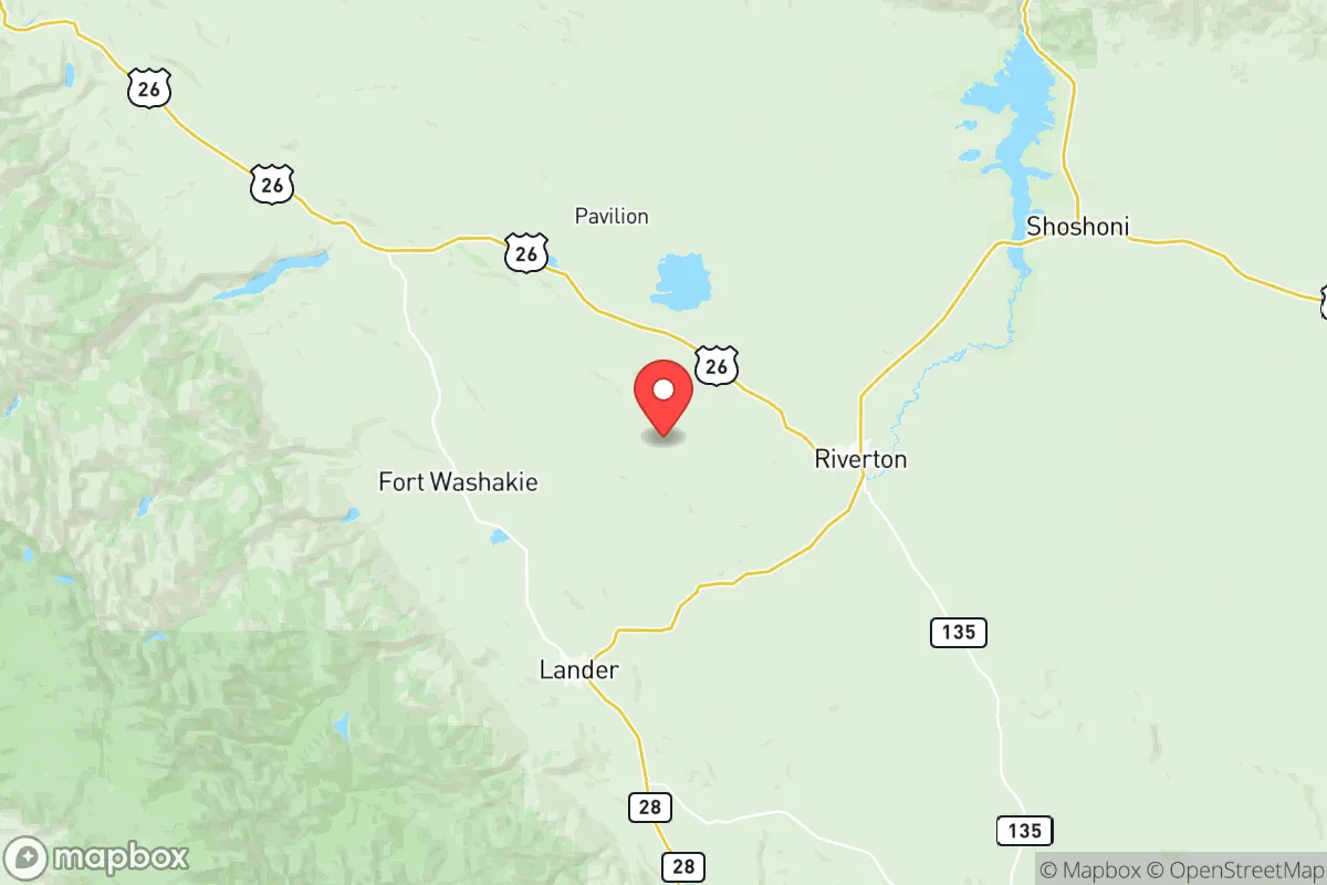
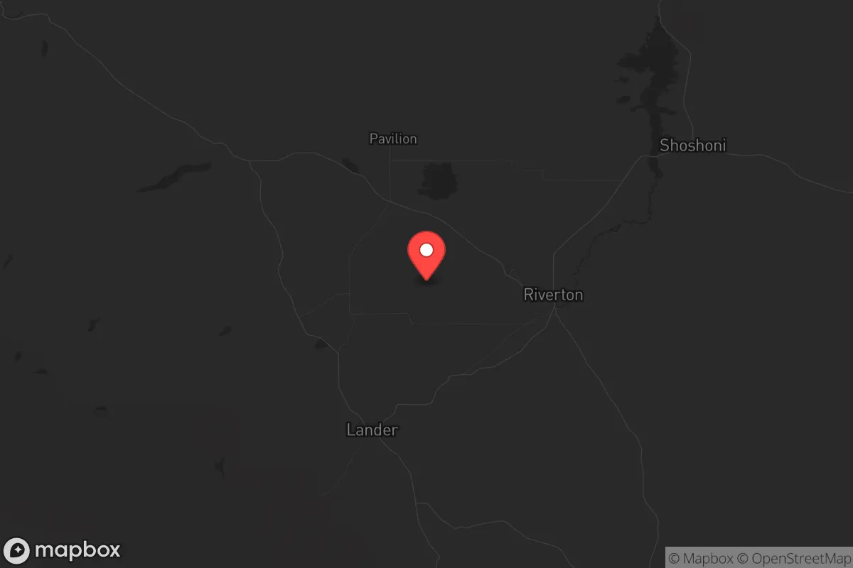
Fremont County’s geography is its strongest asset, anchored by the Wind River Range to the west and the vast, arid basins to the east. The county seat, Lander, sits at the foot of the Wind River Mountains, providing immediate access to high-altitude water sources, timber, and game—critical for long-term sustainability. Riverton, the largest town with about 11,000 people, lies in the Wind River Basin, a flatter area with agricultural potential and the Wind River itself running through it. The county’s position places it roughly 150 miles from the nearest interstate highway corridor (I-80 to the south), which is a double-edged sword: it limits easy supply chains but also keeps casual traffic and federal attention at arm’s length. The Wind River Indian Reservation, which covers a significant portion of the county, adds a layer of jurisdictional complexity but also vast undeveloped land. For a prepper, the natural barriers—mountain passes, high desert, and limited road networks of dirt roads—create defensible chokepoints that would slow any large-scale movement into the area. The county’s elevation, averaging 5,000 to 7,000 feet, also means cooler summers and harsh winters, which naturally filters out those unprepared for serious weather.
Risks, exposures, and proximity to fallout-relevant landmarks
No area is without risks, and Fremont County has its share, though they’re more about isolation than direct threats. The county is roughly 200 miles from the nearest major military installation is F.E. Warren Air Force Base near Cheyenne, about 250 miles southeast, which houses ICBM silos—a potential target in a major conflict. That’s far enough to avoid blast effects but close enough that fallout patterns could drift over the county depending on wind direction, particularly from the east. The Yellowstone Caldera sits about 200 miles northwest, a low-probability but high-consequence risk; prevailing winds would likely push ash southeast, potentially affecting the county’s western edge. More immediate concerns include the county’s reliance on a single major highway, US-287/US-26, which runs through Riverton and Lander—a bottleneck for evacuation or supply movement if compromised. The oil and gas fields in the Wind River Basin, including operations near Dubois to the northwest, are industrial landmarks that could become targets for sabotage or attract unwanted attention during unrest. The county also sits near the Pacific Creek and Atlantic Rim natural gas fields, which, while not high-value military targets, are infrastructure nodes that could see disruption. For a relocator, the key takeaway is that Fremont County is far from major urban centers like Denver (about 350 miles) or Salt Lake City (about 300 miles), but it’s not immune to secondary effects from distant events. The real risk is less about direct strikes and more about supply chain collapse or mass migration from the Front Range if things go sideways.
Practical resilience for a relocator: food, water, energy, and defensibility
For someone serious about self-sufficiency, Fremont County offers a mix of advantages and challenges. Water is abundant from the Wind River and its tributaries, with Lander and Riverton both drawing from municipal systems fed by mountain snowmelt—a reliable source even in drought years, though treatment infrastructure could fail. Private wells are common in rural areas, and the county’s groundwater is generally good, but drilling depth varies. Food production is viable in the Wind River Basin, where irrigation supports hay, alfalfa, and some grain crops; local farms near Riverton and the community of Hudson provide a base for small-scale agriculture, but the growing season is short (about 100-120 days). Hunting is excellent—mule deer, elk, and antelope are plentiful in the mountains and basins—and fishing in the Wind River and its lakes is solid. For energy, the county has the Jim Bridger Power Plant near Point of Rocks (just south of the county line), a coal-fired facility that supplies regional electricity, but it’s vulnerable to grid disruptions. Solar potential is high, with over 250 sunny days per year, and wind is consistent in the basins. Defensibility is strong: the terrain creates natural perimeters, and the low population means fewer eyes on your activities. Rural properties near the Sinks Canyon area or along the Popo Agie River offer seclusion with access to water and cover. The county’s law enforcement presence is thin—the Fremont County Sheriff’s Office covers a massive area with limited deputies—so community self-policing and mutual aid networks are practical. The downside is that medical care is limited; SageWest Health Care in Riverton and Lander are small facilities, and trauma cases often require airlift to Casper or Salt Lake City, a vulnerability in a crisis.
The overall strategic picture for Fremont County is one of calculated trade-offs. It’s not a fortress, but it’s about as far from the chaos of the coasts and the Front Range as you can get while still having access to modern amenities and infrastructure. The county’s isolation is its greatest strength—low target value, natural resources, and a population that leans heavily conservative and self-reliant. The risks—fallout from distant strikes, supply chain fragility, and harsh winters—are manageable with proper preparation, like stockpiling food, fuel, and medical supplies, and building a community network. For a single individual or family looking to ride out instability, Fremont County offers a realistic base of operations. It’s not a bug-out location for a weekend; it’s a place to dig in and build a life that doesn’t depend on the systems that are most likely to fail. If you’re serious about resilience, this is a county worth a hard look.
* Values derived from national, state, county, city and local statistics and may differ in a specific area. Last updated: 2026-05-17T23:15:46.000Z
Narrative content on this page is AI-generated and may contain mistakes. Verify any details that matter before acting on them.
ReloMaps may earn a commission from affiliate links at no extra cost to you.