
Photo: Wikipedia
Strategic Assessment of Hot Springs County
Deep buffer from population centers and strategic targets. Low natural disaster risk and minimal exposure to border or coastal threats.
What does the Strategic Assessment tell us?
Our Strategic Assessment grades tactical survivability of an area. Major population centers, military targets, fallout zones, natural disasters, and border exposure all drive risk — lower exposure means a more defensible position in a crisis.
This is heavily inspired by Joel Skousen's Strategic Relocation book. Highly recommended you checkout the book ($)What does this tell us?
Our Strategic Assessment grades tactical survivability of an area. Major population centers, military targets, fallout zones, natural disasters, and border exposure all drive risk — lower exposure means a more defensible position in a crisis.
This is heavily inspired by Joel Skousen's Strategic Relocation book. Highly recommended you checkout the book ($)Strategic Pillars

Key Distances
Strategic Assessment Analysis
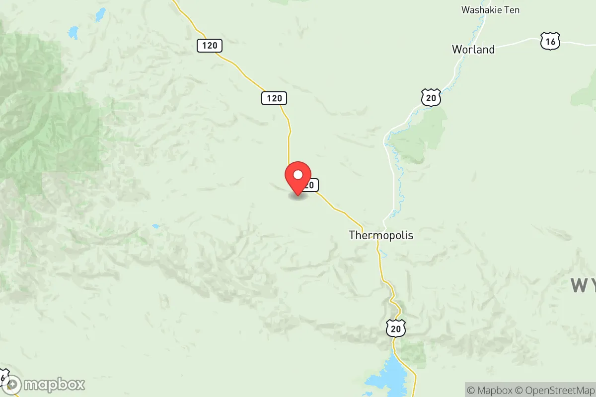
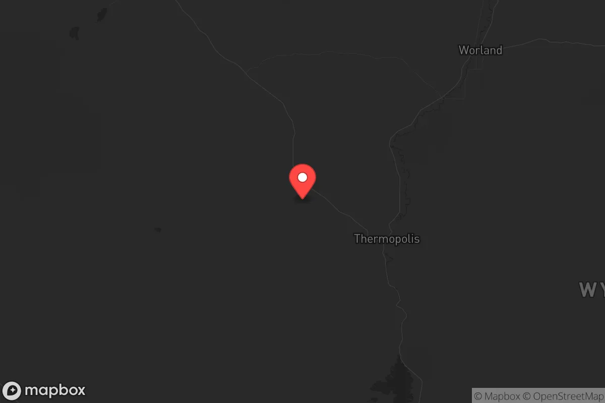
Hot Springs County, Wyoming, offers a strategic relocation option for those prioritizing resilience and distance from major population centers, sitting roughly 90 miles from the nearest interstate corridor and over 200 miles from any city exceeding 100,000 residents. Its low population density—under 5,000 people spread across 2,000 square miles—means fewer targets for civil unrest or cascading infrastructure failures, while the Bighorn Basin geography provides natural barriers and a semi-arid climate that reduces flood and wildfire risks compared to forested mountain zones. The county seat of Thermopolis anchors the area with a year-round water supply from the Big Horn River and hot springs that could serve as a communal resource in a grid-down scenario, though the trade-off is limited immediate access to specialized medical care or industrial supply chains.
Geographic position and natural advantages for long-term security
Hot Springs County occupies a defensible pocket in north-central Wyoming, flanked by the Owl Creek Mountains to the south and the Bighorn Mountains to the east, creating natural chokepoints that slow movement from larger corridors like the I-25 or I-90 belts. The Big Horn River runs through Thermopolis and provides a reliable surface water source that doesn't depend on deep well drilling, a critical advantage if municipal systems fail. The area's elevation—around 4,300 feet—keeps summer temperatures moderate and reduces evaporation, while winter snowpack in the surrounding mountains feeds the river system through dry months. For a relocator, this means you're not reliant on a single reservoir or aquifer that could be contaminated or drained; the river is a constant, and the hot springs offer a backup for heating and bathing without burning fuel. The nearest major military installation is F.E. Warren Air Force Base near Cheyenne, roughly 250 miles southeast, which is far enough to avoid direct fallout from a strike but close enough that strategic assets there could draw secondary threats to the region's eastern edge. Thermopolis itself sits at the junction of US-20 and WY-120, providing two viable egress routes toward the Bighorn Basin's interior or the Absaroka Range if evacuation becomes necessary.
Risks, exposures, and proximity to fallout-relevant landmarks
The primary risk for Hot Springs County is its proximity to energy infrastructure in the Bighorn Basin, including natural gas processing plants near Worland (about 30 miles south) and oil fields around the Cottonwood Creek area. While these aren't nuclear targets, a cascading failure from a grid collapse or a coordinated attack on energy hubs could disrupt local fuel supplies and attract transient populations seeking resources. The county is also within 150 miles of the Yellowstone Caldera, which, while not an immediate eruption threat, could produce ashfall that disrupts agriculture and water quality for weeks if a major event occurs. More immediate concerns include the county's reliance on a single hospital—Hot Springs County Memorial Hospital in Thermopolis—which has limited trauma capacity and would be overwhelmed by a mass casualty event. The nearest Level I trauma center is in Billings, Montana, roughly 120 miles north, a drive that becomes precarious if roads are blocked or compromised. For a prepper, the lack of major fallout-relevant landmarks like missile silos, refineries, or military command centers within 50 miles is a net positive, but the county's position along US-20 means it could become a transit corridor for refugees fleeing larger cities like Casper or Sheridan during a collapse. The Wind River Indian Reservation borders the county to the south, adding a layer of jurisdictional complexity that could affect resource sharing or security coordination in a crisis.
Practical resilience for a relocator: food, water, energy, and defensibility
Water security in Hot Springs County is above average for the region, with the Big Horn River providing a surface source that can be filtered or boiled without deep infrastructure. The hot springs themselves are a unique asset—geothermal water that can be used for heating greenhouses or livestock shelters in winter, reducing reliance on propane or electricity. For food, the county has a short growing season (roughly 100 frost-free days) but fertile bottomland along the river, supporting hay, alfalfa, and some vegetable production. Local ranchers raise cattle and sheep, and the Thermopolis Farmers Market operates seasonally, but a relocator should plan to stockpile at least six months of non-perishable food before arrival, as grocery supply chains are thin and dependent on trucking from Billings or Casper. Energy resilience is mixed: the county is served by Rocky Mountain Power, but rural areas frequently experience outages from winter storms or equipment failures. Solar potential is good—over 200 sunny days per year—but winter snow accumulation can reduce panel output for weeks. A backup generator with stored fuel is essential, and wood heating is viable if you have access to BLM land for firewood collection, though permits are required. Defensibility is strong for a small group: the county's dispersed population means you can secure a rural property with clear sightlines and limited road access, but the open terrain also means you're visible from a distance. The Thermopolis Police Department and Hot Springs County Sheriff's Office are small—fewer than 20 sworn officers combined—so law enforcement response times in remote areas can exceed 30 minutes. For a single individual or family, this means self-reliance is non-negotiable: medical training, ammunition stockpiles, and a community network of like-minded neighbors are more critical here than in a suburban subdivision with quick emergency services.
The overall strategic picture for Hot Springs County is one of calculated trade-offs: you gain isolation, water security, and natural defensibility, but you sacrifice immediate access to medical care, industrial supply chains, and the social safety net of larger communities. For a conservative-leaning relocator concerned with civic unrest or mass casualty events, this area offers a viable long-term base if you're willing to invest in self-sufficiency—solar panels, a well or river pump, a greenhouse, and a deep pantry—and accept that you'll be largely on your own if things go sideways. The county's position away from major highways and military targets reduces the likelihood of being caught in a direct event, but its role as a potential refugee corridor means you need a plan for screening and securing your perimeter. Thermopolis itself is a small town with a working-class ethos and a history of resourcefulness from the oil and gas boom-and-bust cycles, which translates to a population that's less likely to panic and more likely to cooperate in a crisis. If you're looking for a place to ride out the storm without being in the storm's path, Hot Springs County deserves a hard look—just don't expect anyone to come rescue you.
* Values derived from national, state, county, city and local statistics and may differ in a specific area. Last updated: 2026-05-12T08:41:48.000Z
Narrative content on this page is AI-generated and may contain mistakes. Verify any details that matter before acting on them.
ReloMaps may earn a commission from affiliate links at no extra cost to you.