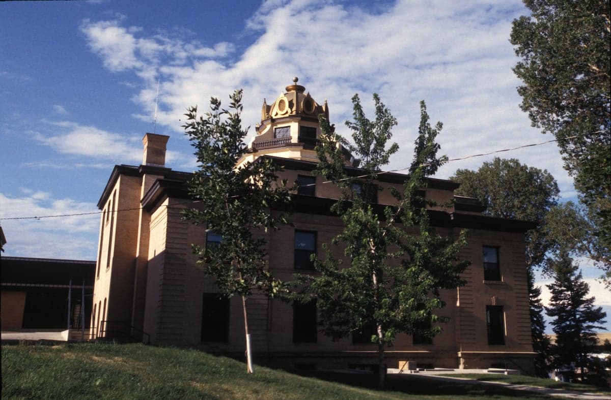
Photo: Wikipedia
Strategic Assessment of Sheridan County
Strong survivability profile. Good buffer from population centers, with manageable environmental and tactical risks.
What does the Strategic Assessment tell us?
Our Strategic Assessment grades tactical survivability of an area. Major population centers, military targets, fallout zones, natural disasters, and border exposure all drive risk — lower exposure means a more defensible position in a crisis.
This is heavily inspired by Joel Skousen's Strategic Relocation book. Highly recommended you checkout the book ($)What does this tell us?
Our Strategic Assessment grades tactical survivability of an area. Major population centers, military targets, fallout zones, natural disasters, and border exposure all drive risk — lower exposure means a more defensible position in a crisis.
This is heavily inspired by Joel Skousen's Strategic Relocation book. Highly recommended you checkout the book ($)Strategic Pillars

Key Distances
Strategic Assessment Analysis
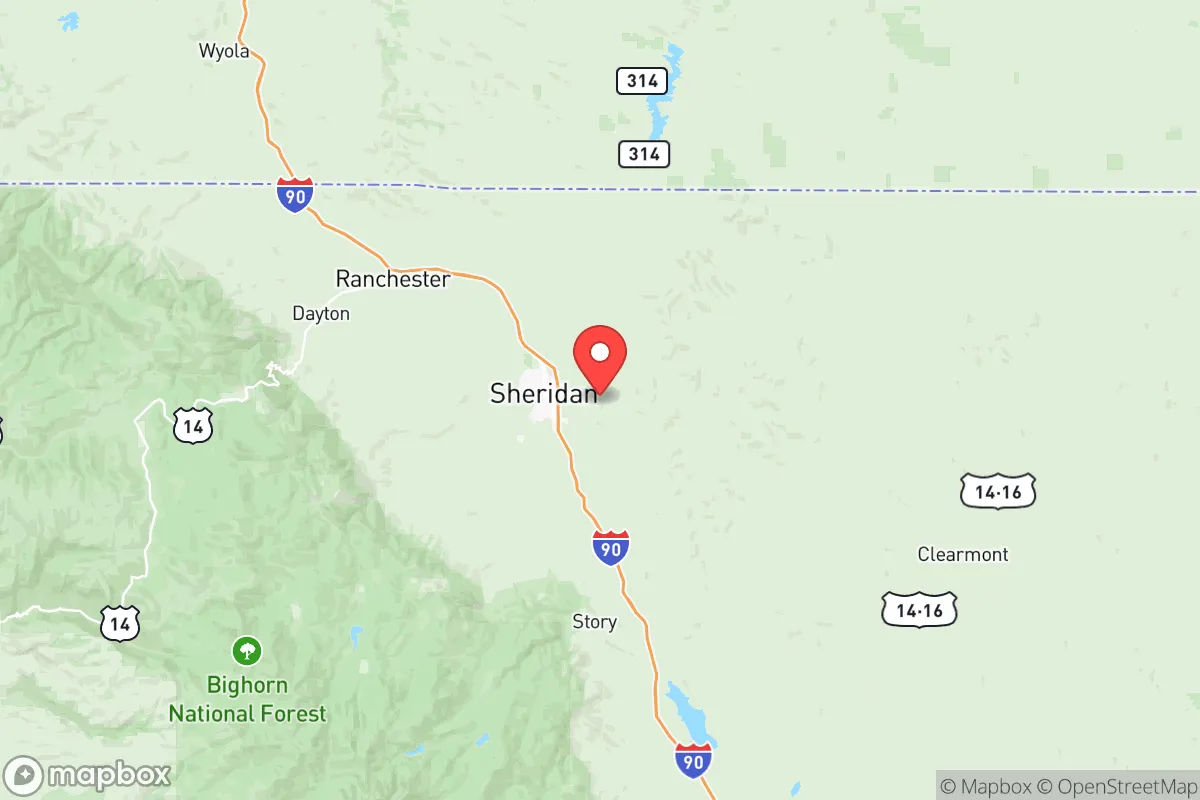
Sheridan County, Wyoming, offers a compelling strategic profile for relocators prioritizing resilience and self-sufficiency, combining a remote, defensible geography with a robust local economy and community infrastructure. Located in the north-central part of the state, the county sits at the eastern edge of the Bighorn Mountains, providing natural barriers and a climate that supports independent living. Its county seat, Sheridan, serves as a regional hub with a population of roughly 18,000, while the smaller towns of Ranchester, Dayton, and Big Horn offer quieter, more isolated options. The area's distance from major metropolitan centers—roughly 150 miles from Billings, Montana, and over 200 miles from Denver, Colorado—reduces exposure to the cascading effects of urban disruptions, making it a strong candidate for those seeking a balance between accessibility and strategic depth.
Geographic position and natural advantages for long-term security
Sheridan County's location at the foot of the Bighorn Mountains provides significant natural advantages for resilience. The mountain range acts as a western barrier, limiting access from that direction and creating a natural choke point for any potential movement. To the east, the rolling plains of the Powder River Basin offer open terrain that is easily monitored, while the county's northern border with Montana adds an additional layer of geographic separation from population centers. The Tongue River, which flows through Sheridan and Ranchester, provides a reliable freshwater source, and the surrounding national forest lands—including the Bighorn National Forest—offer abundant game, timber, and forage. The area's elevation, averaging around 3,700 feet, contributes to a dry, cool climate that reduces the risk of many vector-borne diseases and limits the viability of certain agricultural pests. For a relocator thinking in terms of decades, this combination of mountain barrier, river access, and low population density (roughly 30,000 total county residents) creates a naturally defensible and resource-rich environment.
Risk exposure and proximity to fallout-relevant landmarks
While Sheridan County is far from the highest-risk targets, it is not entirely insulated from man-made threats. The closest major military installation is Malmstrom Air Force Base in Great Falls, Montana, roughly 250 miles to the northwest, which is a primary ICBM field and a potential first-strike target. Fallout patterns from a strike on Malmstrom would depend heavily on prevailing winds, which in this region typically blow from the west and southwest, potentially carrying particulate matter toward the Dakotas rather than directly over Sheridan County. More locally, the county is situated near the Powder River Basin, a major coal and natural gas production region with significant energy infrastructure, including coal-fired power plants and rail lines used for coal transport. While these are not primary nuclear targets, they could be secondary objectives in a conflict. The county's distance from major refineries—the nearest significant ones are in Billings, Montana, about 150 miles north—reduces but does not eliminate exposure to industrial accidents or targeted strikes. Natural risks include severe winter storms, which can isolate communities for days, and the potential for drought, which periodically affects the region's agricultural output. Wildfire risk is moderate, with the Bighorn National Forest experiencing occasional large fires, but the county's low tree density in populated areas limits catastrophic spread.
Practical resilience for a relocator: food, water, energy, and defensibility
For a relocator serious about self-sufficiency, Sheridan County offers strong fundamentals. The Tongue River and its tributaries provide ample water for household use and small-scale irrigation, though new wells require permitting and careful siting to avoid conflicts with existing agricultural users. The county's agricultural base is dominated by cattle ranching and hay production, with smaller operations growing grains and vegetables. Local food production is viable, but the short growing season (roughly 100-120 frost-free days) limits what can be grown without season extension techniques. The area's energy profile is favorable: the county is served by several electrical cooperatives, and the proximity to coal and natural gas production means grid power is relatively stable. For off-grid setups, solar potential is good, with over 200 sunny days per year, though winter generation is reduced. Wood heating is practical given the nearby national forest, but firewood permits are required. Defensibility is a key strength: the county's low population density and limited road network—primarily Interstate 90, US Highway 14, and a handful of state routes—mean that any large-scale movement into the area would be channeled through a few easily monitored points. The towns of Ranchester and Dayton, located along the I-90 corridor, serve as natural gateways, while the smaller community of Big Horn, nestled against the mountains, offers even greater seclusion. The local culture, rooted in ranching and outdoor recreation, tends toward self-reliance and neighborly cooperation, which can be a practical asset in a crisis.
Overall, Sheridan County presents a strong strategic picture for the resilience-minded relocator. Its geographic isolation, natural resources, and low-risk profile relative to major targets make it a defensible and sustainable choice, particularly for those willing to adapt to a cold, dry climate and a slower pace of life. The county's existing infrastructure—including a regional hospital, a community college, and a functional local government—provides a baseline of services that many more remote areas lack. The primary trade-offs are the short growing season, the need for robust winter preparations, and the distance from specialized medical care or supply chains. For a family or individual willing to invest in land, water rights, and energy independence, Sheridan County offers a realistic foundation for long-term security without the extreme isolation of deeper mountain or desert locations. It is not a bug-out location for a weekend; it is a place to build a life that can withstand disruption.

* Values derived from national, state, county, city and local statistics and may differ in a specific area. Last updated: 2026-08-08T16:39:13.000Z
Narrative content on this page is AI-generated and may contain mistakes. Verify any details that matter before acting on them.
ReloMaps may earn a commission from affiliate links at no extra cost to you.

