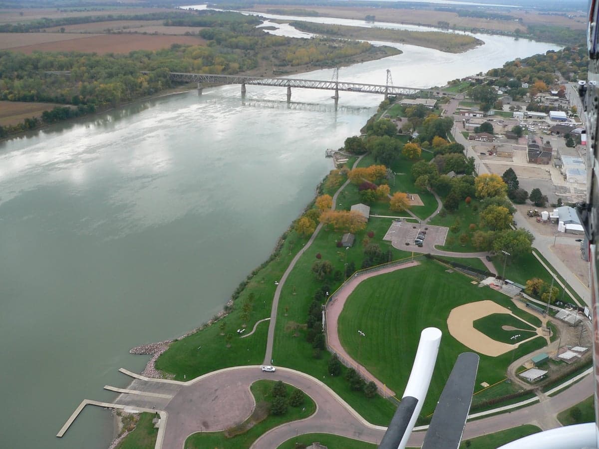
Photo: Wikipedia
Strategic Assessment of Yankton, SD
Workable tactical position. Some exposure to population density or targets, but generally defensible in a crisis.
What does the Strategic Assessment tell us?
Our Strategic Assessment grades tactical survivability of an area. Major population centers, military targets, fallout zones, natural disasters, and border exposure all drive risk — lower exposure means a more defensible position in a crisis.
This is heavily inspired by Joel Skousen's Strategic Relocation book. Highly recommended you checkout the book ($)What does this tell us?
Our Strategic Assessment grades tactical survivability of an area. Major population centers, military targets, fallout zones, natural disasters, and border exposure all drive risk — lower exposure means a more defensible position in a crisis.
This is heavily inspired by Joel Skousen's Strategic Relocation book. Highly recommended you checkout the book ($)Strategic Pillars

Key Distances
Regional Safe Places
Below is our recommended "safe zones" in South Dakota and the surrounding area based on our strategic heuristics. For most people, it's unrealistic to live in a “safe zone” full-time due to work, family or other personal reasons. They tend to be more rural. However, many of these areas are perfect for second homes and retreat properties that double as a vacation home or even a short-term rental.


Important Note: For informational purposes only. This does not mean nothing bad ever happens in the green zones. Please use common sense. This is based on public data and modeled with AI. We tried to take a conservative approach but mistakes happen. We update this regularly as new information becomes available.
Solar Generator Recommendations
Backup power matters more here than in safer locations. We've picked three solar generators across budgets and capacity tiers — start with the budget unit if you only need a few essentials, or step up if you want to run a fridge and HVAC for days at a time.

Jackery Portable Power Station Explorer 300
Budget OptionPower on the Go: Weighing only 11 lbs, it's convenient to set up and store with book-sized foldable solar panels

BLUETTI Portable Power Station AC180
Designed for both indoor and outdoor scenarios, AC180 is highly capable as it has a robost capacity and continuous output power.

EF ECOFLOW DELTA Pro Ultra Power Station
Upgraded PickEcoFlow DELTA Pro Ultra is a whole-home energy system designed to grow with your family. Integrated with the Smart Home Panel 2, it scales to meet your evolving energy needs — keeping your home powered, intelligent, and secure through every stage of life.
We earn a commission, at no additional cost to you.
Strategic Assessment Analysis
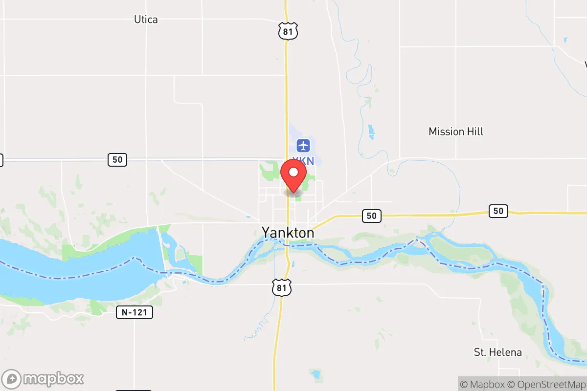
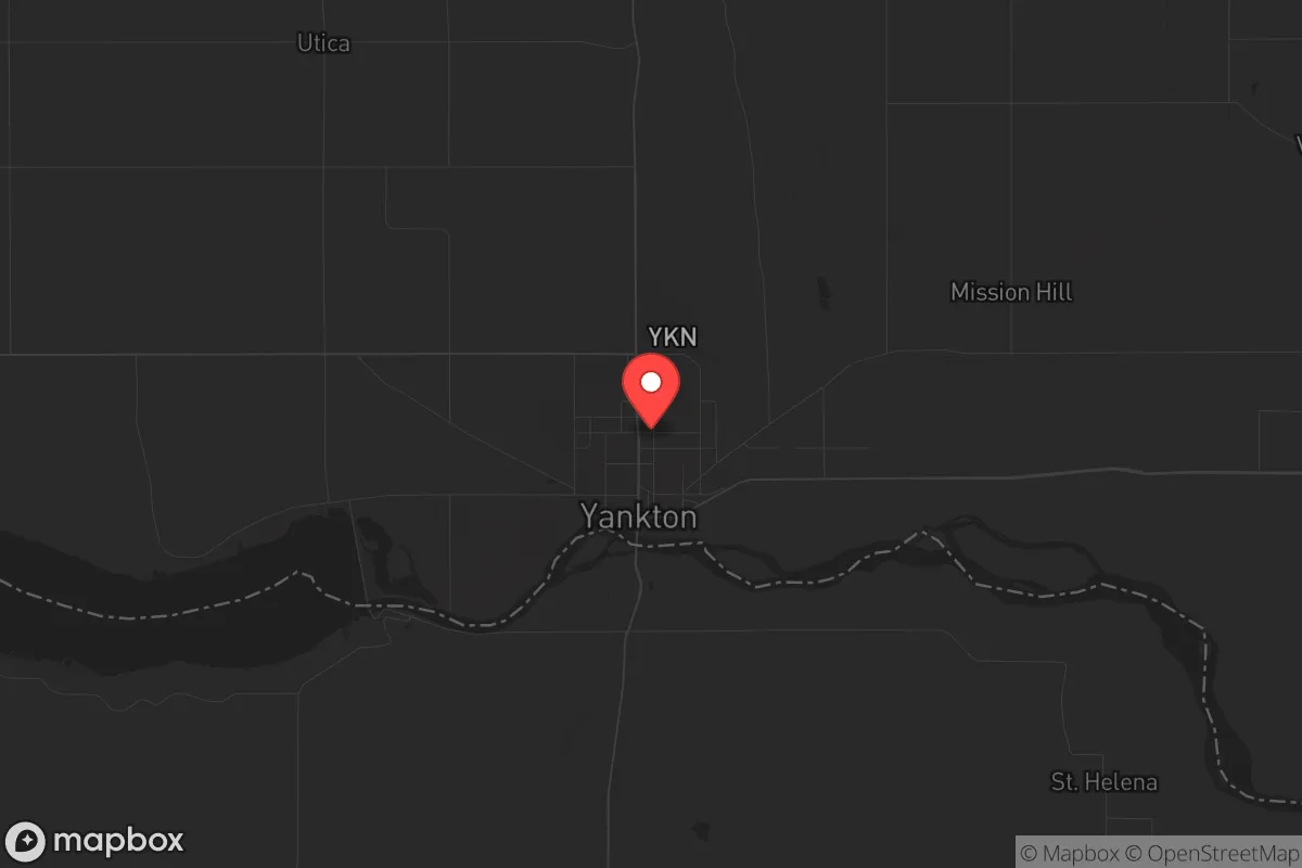
Yankton, South Dakota, sits in a strategic sweet spot that few relocators fully appreciate: far enough from major population centers to avoid the worst of cascading collapse scenarios, yet close enough to the Missouri River and Interstate 29 to maintain logistical connectivity when the grid holds. For those thinking in terms of decades rather than election cycles, this town of roughly 15,000 offers a blend of geographic insulation, water security, and agricultural self-sufficiency that makes it a serious candidate for a long-term resilience base. The surrounding Yankton County has voted reliably conservative in recent cycles, and the local culture leans heavily toward self-reliance, church community, and a general distrust of federal overreach—traits that matter when you're assessing how a place will hold together during a crisis.
Geographic position and natural advantages for long-term security
Yankton's location along the Missouri River is its single most important strategic asset. The river provides a virtually unlimited freshwater supply, which is the first thing to disappear in most urban collapse scenarios. The surrounding landscape is a mix of rolling plains and river bluffs, offering natural defensibility without the isolation that makes supply runs impractical. The town sits roughly 60 miles from Sioux Falls and about 100 miles from Sioux City, Iowa—close enough to access regional medical centers and supply chains in normal times, but far enough that a riot, disease outbreak, or supply chain disruption in those cities won't immediately spill over. The Missouri River also serves as a natural barrier to the west, and the flat farmland to the east and north provides clear lines of sight for anyone monitoring approach routes. For a relocator, the key takeaway is that Yankton is not a "bug out" location—it's a place you can live full-time and still feel secure when things go sideways.
Risks, exposures, and proximity to fallout-relevant landmarks
No location is risk-free, and Yankton has vulnerabilities that a serious prepper must weigh. The most obvious is the Yankton Nuclear Power Plant, located about 5 miles northwest of town. This is a decommissioned facility—the reactor was shut down in 1998 and is in SAFSTOR status—but the spent fuel remains on-site in dry cask storage. A terrorist attack or catastrophic failure at that facility could render the immediate area uninhabitable for decades. That said, the risk is lower than an active plant, and the prevailing winds in the region blow from the northwest, meaning fallout would most likely be carried southeast, away from the town center. More concerning is the proximity to the Missouri River dams: Gavins Point Dam is just upstream, and a deliberate or accidental breach would flood large portions of the river valley, including parts of Yankton. The town's elevation on the bluffs mitigates this somewhat, but low-lying areas near the river are vulnerable. Additionally, Yankton sits within 150 miles of the Ellsworth Air Force Base near Rapid City, which houses B-1B bombers and is a high-value target in any major conflict. A nuclear strike on Ellsworth would likely produce fallout that could reach Yankton within hours, depending on wind patterns. For the conservative relocator, these risks are manageable but not ignorable—they require a plan for monitoring and, if necessary, temporary relocation.
Practical resilience for a relocator: food, water, energy, and defensibility
Yankton's practical resilience is where it truly shines for the prepper-minded individual or family. Water security is excellent: the Missouri River is a year-round, high-volume source, and the town's municipal water system draws directly from it. For those who want off-grid capability, shallow wells in the river valley produce potable water at depths of 30-50 feet, and rainwater catchment is viable given the region's average 26 inches of annual precipitation. Food production is a major strength: Yankton County is surrounded by some of the most productive agricultural land in the country, with corn, soybeans, and cattle operations dominating. The local farmers' market operates from May through October, and there are multiple U-pick orchards within a 20-minute drive. For long-term storage, the area has several grain elevators and a regional food distribution center that would be a logical resupply point in a crisis. Energy is a mixed bag: the grid is reasonably stable, but winter ice storms can knock out power for days. Solar is viable—the region gets about 210 sunny days per year—but wind is the more abundant resource, and small-scale wind turbines are a common sight on rural properties. Natural gas is available in town, but rural properties rely on propane or heating oil. Defensibility is good but not fortress-level: the river bluffs provide natural chokepoints, and the town's layout—with a compact downtown and spread-out residential areas—makes it hard for a large group to control. The local law enforcement presence is small (around 25 officers), but the community is heavily armed and has a strong tradition of mutual aid. For a single individual or a family, the practical takeaway is that Yankton offers a high baseline of self-sufficiency without requiring a complete off-grid lifestyle.
The overall strategic picture for Yankton is one of calculated trade-offs. It is not the most remote location in the Dakotas, nor the most defensible, but it offers a rare combination of water security, agricultural abundance, and community cohesion that makes it a strong candidate for a long-term resilience base. The nuclear plant and dam risks are real but manageable with proper planning—a good bug-out bag and a pre-identified route to higher ground or upwind cover. For the conservative relocator who wants to be part of a functioning community rather than a lone wolf in the wilderness, Yankton represents a solid middle ground: close enough to civilization to maintain a normal life, far enough to avoid the worst of the collapse, and grounded in a culture that still values self-reliance and neighborly obligation. If you're serious about preparing for the next decade's uncertainties, this is a place worth a hard look.
* Values derived from national, state, county, city and local statistics and may differ in a specific area. Last updated: 2026-05-02T05:35:42.000Z
Narrative content on this page is AI-generated and may contain mistakes. Verify any details that matter before acting on them.
ReloMaps may earn a commission from affiliate links at no extra cost to you.