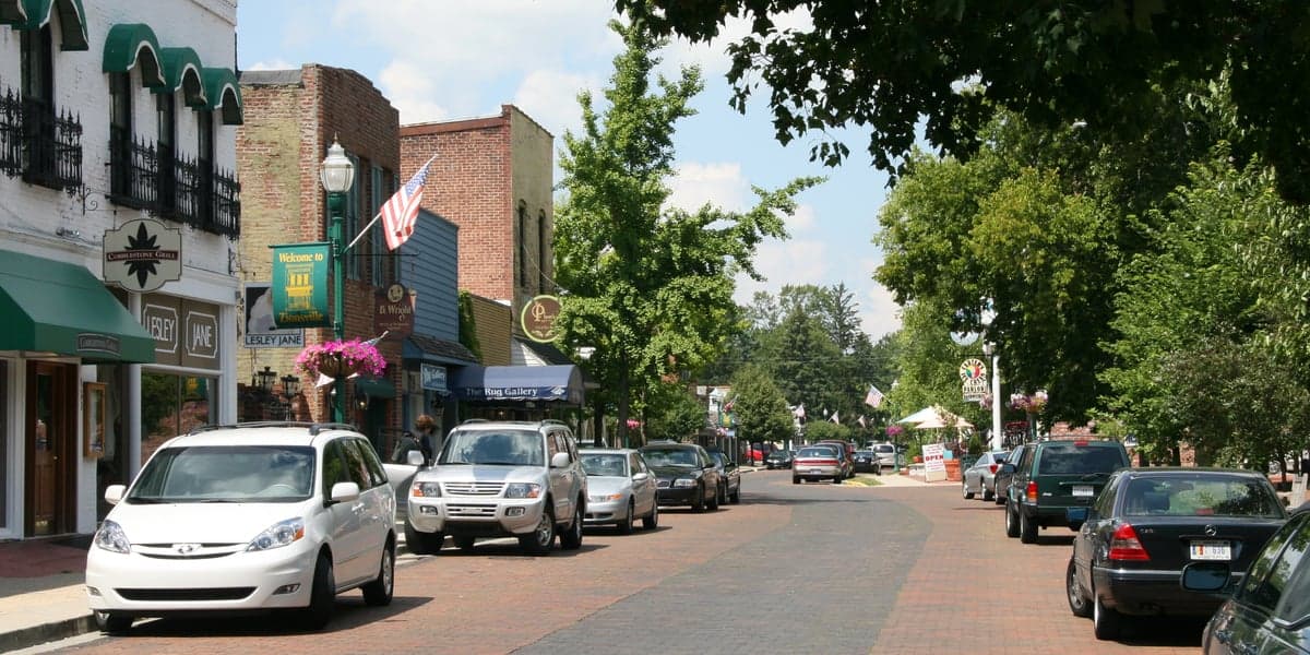
Photo: Wikipedia
Strategic Assessment of Zionsville, IN
Meaningful friction. Expect exposure to either population pressure, blast zones, or natural disaster risk. Consider buying a retreat property.
What does the Strategic Assessment tell us?
Our Strategic Assessment grades tactical survivability of an area. Major population centers, military targets, fallout zones, natural disasters, and border exposure all drive risk — lower exposure means a more defensible position in a crisis.
This is heavily inspired by Joel Skousen's Strategic Relocation book. Highly recommended you checkout the book ($)What does this tell us?
Our Strategic Assessment grades tactical survivability of an area. Major population centers, military targets, fallout zones, natural disasters, and border exposure all drive risk — lower exposure means a more defensible position in a crisis.
This is heavily inspired by Joel Skousen's Strategic Relocation book. Highly recommended you checkout the book ($)Strategic Pillars

Key Distances
Regional Safe Places
Below is our recommended "safe zones" in Indiana and the surrounding area based on our strategic heuristics. For most people, it's unrealistic to live in a “safe zone” full-time due to work, family or other personal reasons. They tend to be more rural. However, many of these areas are perfect for second homes and retreat properties that double as a vacation home or even a short-term rental.

Important Note: For informational purposes only. This does not mean nothing bad ever happens in the green zones. Please use common sense. This is based on public data and modeled with AI. We tried to take a conservative approach but mistakes happen. We update this regularly as new information becomes available.
Solar Generator Recommendations
Backup power matters more here than in safer locations. We've picked three solar generators across budgets and capacity tiers — start with the budget unit if you only need a few essentials, or step up if you want to run a fridge and HVAC for days at a time.

Jackery Portable Power Station Explorer 300
Budget OptionPower on the Go: Weighing only 11 lbs, it's convenient to set up and store with book-sized foldable solar panels

BLUETTI Portable Power Station AC180
Designed for both indoor and outdoor scenarios, AC180 is highly capable as it has a robost capacity and continuous output power.

EF ECOFLOW DELTA Pro Ultra Power Station
Upgraded PickEcoFlow DELTA Pro Ultra is a whole-home energy system designed to grow with your family. Integrated with the Smart Home Panel 2, it scales to meet your evolving energy needs — keeping your home powered, intelligent, and secure through every stage of life.
We earn a commission, at no additional cost to you.
Strategic Assessment Analysis
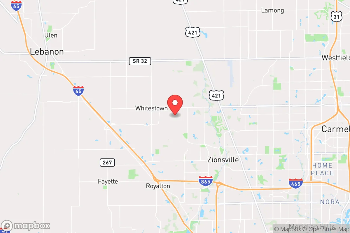
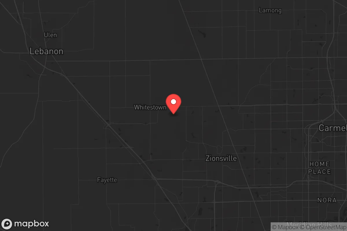
Zionsville, Indiana, presents a compelling strategic picture for those prioritizing resilience and preparedness, but its value is tightly tied to its specific geographic and demographic realities. Located roughly 20 miles northwest of downtown Indianapolis, the town sits in a sweet spot—close enough to access critical resources and medical infrastructure, yet far enough to avoid the immediate chaos of a major urban collapse. Its position within Boone County, one of the fastest-growing and wealthiest counties in the state, offers a buffer of economic stability and lower crime rates that many preppers find attractive. However, the same proximity that provides advantages also introduces significant risks, particularly regarding fallout from a major event targeting Indianapolis or nearby critical infrastructure. For a conservative-leaning relocator concerned with civic unrest, mass casualty events, and long-term sustainability, Zionsville requires a clear-eyed assessment of its strengths and vulnerabilities.
Geographic position and natural advantages for long-term survival
Zionsville’s location is defined by its position on the Tipton Till Plain, a flat, fertile region that historically supported robust agriculture. This is not mountainous terrain, but the area’s soil quality is excellent for small-scale farming, and the region’s temperate climate allows for a growing season of roughly 170 days. The town itself is bisected by Eagle Creek, which feeds into the larger White River system, providing a surface water source that could be critical in a grid-down scenario. The surrounding Boone County is predominantly rural, with large tracts of farmland and scattered woodlots that offer both privacy and potential for off-grid living. From a strategic standpoint, Zionsville’s position on the high ground of the Indiana till plain—elevations around 900 feet—offers minimal flood risk compared to river towns downstream. The area’s natural advantages are further bolstered by its distance from major fault lines, hurricane zones, and wildfire-prone regions, making it a relatively stable geographic choice for those seeking to avoid natural disasters. The town’s layout, with its historic village core and newer suburban developments, provides a mix of dense and dispersed housing that could support both community defense and individual retreat strategies.
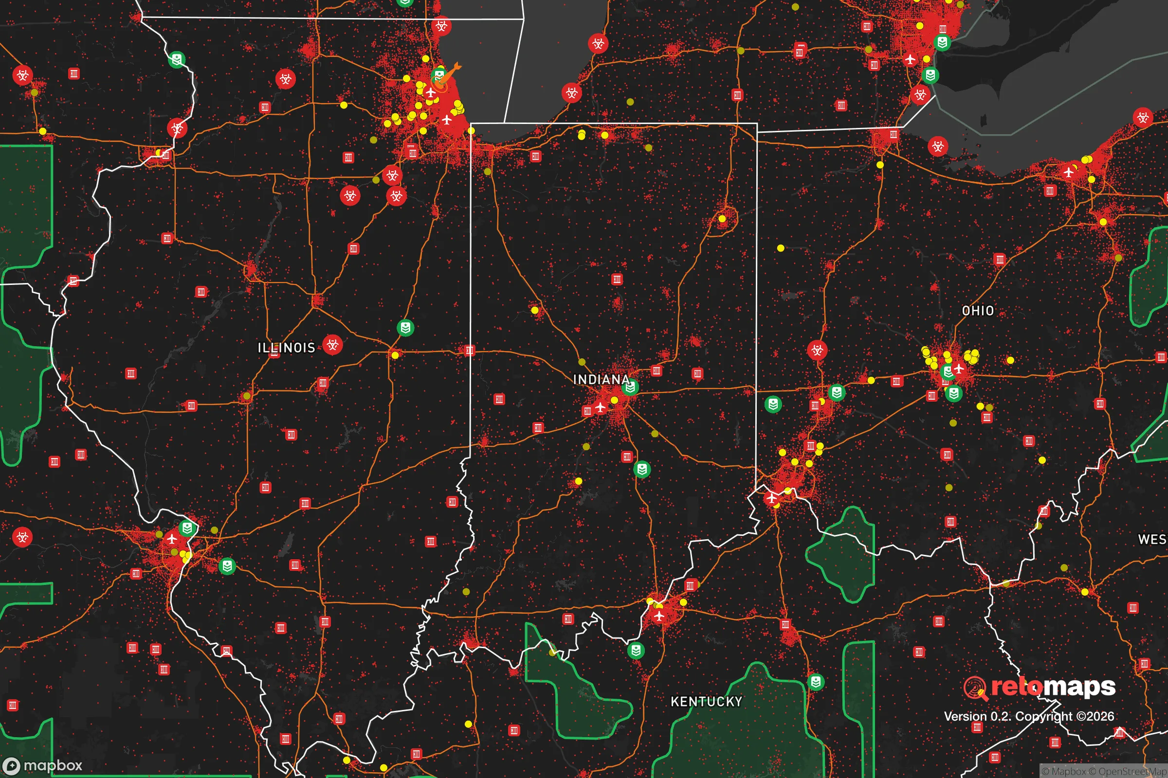
Risks, exposures, and proximity to fallout-relevant landmarks
The most significant strategic vulnerability for Zionsville is its proximity to Indianapolis, a city of nearly 900,000 people that sits just 20 miles southeast. In the event of a major terrorist attack, EMP strike, or civil unrest, Indianapolis would be a primary target, and Zionsville lies directly in the path of any fallout or refugee flow moving northwest along the I-65 corridor. The town is also within 30 miles of the Indianapolis International Airport, a major logistics hub that could become a focal point for military activity or evacuation chaos. Additionally, the area is within 50 miles of the Newport Chemical Depot (now largely remediated but historically a nerve agent storage site) and within 100 miles of the Fermi 2 nuclear power plant near Monroe, Michigan. While these are not immediate threats, they represent potential secondary hazards in a cascading disaster scenario. The region’s flat terrain offers little natural defensibility; there are no mountains, dense forests, or natural barriers to slow an advancing threat. Zionsville’s rapid growth—population increased by over 30% between 2010 and 2020—also means that many residents are newcomers without deep local ties, which could weaken community cohesion during a crisis. For the prepper, the key risk is that Zionsville’s desirability as a bedroom community makes it a likely destination for urban refugees, potentially overwhelming local resources within days of a major event.
Practical resilience for a relocator: food, water, energy, and defensibility
For a relocator focused on practical resilience, Zionsville offers a mixed bag. Food security is a relative strength: Boone County is home to numerous working farms, and the town itself has a strong farmers’ market culture. The local soil is well-suited for vegetable gardening, and the long growing season allows for significant food production. However, the town’s zoning laws are restrictive—most residential lots are under half an acre, limiting space for large gardens or livestock. Water security is more concerning. Zionsville’s municipal water comes from the Indianapolis Water Company, drawing from the White River and Morse Reservoir. In a prolonged grid-down scenario, this system would be vulnerable to contamination or pressure loss. Private wells are an option in some outlying areas, but the town’s core relies entirely on municipal supply. Energy resilience is improving: Boone County has seen a rise in solar installations, and the flat terrain is suitable for small wind turbines. However, the area’s reliance on the regional power grid—served by Duke Energy—means that an EMP or cyberattack could leave residents without power for weeks. Defensibility is the weakest link. Zionsville’s suburban layout, with its cul-de-sacs and interconnected neighborhoods, makes it difficult to secure a perimeter. The town’s police force is small (roughly 30 officers), and while Boone County has a well-regarded sheriff’s department, response times in a widespread crisis would be stretched thin. For the serious prepper, the best strategy is to secure a property on the town’s rural fringe, ideally with acreage, a well, and a backup power system, while maintaining a low profile to avoid drawing attention.
The overall strategic picture for Zionsville is one of calculated trade-offs. It offers a stable, low-crime environment with strong community institutions and access to fertile land—factors that appeal to conservative families seeking a safe haven. The town’s wealth and education levels (median household income over $130,000, with top-rated schools) suggest a population capable of organizing and self-policing in a crisis. Yet the same prosperity makes it a target for looting and refugee pressure, and its flat, open geography offers little natural protection. For the relocator who values proximity to urban resources but wants to avoid the worst of urban collapse, Zionsville is a viable option—provided they invest heavily in on-site water, food storage, and security measures. The town’s best strategic asset is its community: a politically engaged, largely conservative population that values self-reliance and mutual aid. In a world of increasing uncertainty, Zionsville is not a fortress, but it is a defensible position for those willing to prepare. The key is to treat it as a base of operations, not a final redoubt, and to have a secondary retreat plan for the worst-case scenarios.
* Values derived from national, state, county, city and local statistics and may differ in a specific area. Last updated: 2026-04-22T10:06:46.000Z
Narrative content on this page is AI-generated and may contain mistakes. Verify any details that matter before acting on them.
ReloMaps may earn a commission from affiliate links at no extra cost to you.