
Photo: Wikipedia
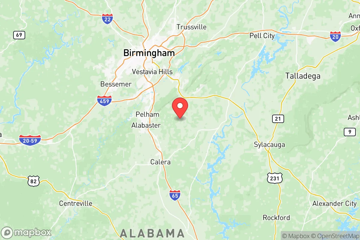
Strategic Assessment of Shelby County
Workable tactical position. Some exposure to population density or targets, but generally defensible in a crisis.
What does the Strategic Assessment tell us?
Our Strategic Assessment grades tactical survivability of an area. Major population centers, military targets, fallout zones, natural disasters, and border exposure all drive risk — lower exposure means a more defensible position in a crisis.
This is heavily inspired by Joel Skousen's Strategic Relocation book. Highly recommended you checkout the book ($)What does this tell us?
Our Strategic Assessment grades tactical survivability of an area. Major population centers, military targets, fallout zones, natural disasters, and border exposure all drive risk — lower exposure means a more defensible position in a crisis.
This is heavily inspired by Joel Skousen's Strategic Relocation book. Highly recommended you checkout the book ($)Strategic Pillars

Key Distances
Strategic Assessment Analysis
Shelby County, Alabama, sits in a sweet spot that few relocation analysts talk about openly: close enough to Birmingham for supply runs and medical access, but far enough that you aren't staring down the barrel of urban unrest or a major industrial disaster. The county's resilience profile is built on a foundation of geographic insulation, a conservative political culture that still values self-reliance, and a topography that offers natural defensibility. For a single individual or a family looking to plant roots somewhere that won't become a humanitarian crisis zone overnight, Shelby County deserves a hard look — but only if you understand both its strengths and its blind spots.
Geographic position and natural advantages for long-term security
Shelby County anchors the southern edge of the Appalachian foothills, giving it a mix of rolling hills, hardwood forests, and limestone valleys that break up sightlines and create natural chokepoints. The county seat, Columbiana, sits about 35 miles southeast of Birmingham, while Pelham and Alabaster form the northern corridor that buffers the county from the metro area's worst sprawl. The Cahaba River runs through the county's heart, providing a reliable freshwater source that doesn't depend on municipal treatment plants — a critical advantage if grid power goes down. Elevation ranges from about 400 to 1,000 feet, which means flash flooding is rare compared to coastal or flatland counties. The climate is humid subtropical, but the hills moderate temperature extremes; you're not dealing with the brutal heat of the Gulf Coast or the ice storms that paralyze North Alabama. For a prepper, the key takeaway is that Shelby County has multiple watersheds, varied terrain, and no single point of failure that would make the entire area uninhabitable after a disaster.
Risks, exposures, and proximity to fallout-relevant landmarks
Let's be blunt: no place in the continental U.S. is completely safe from a major event, and Shelby County has its own risk profile that you need to weigh. The biggest negative is proximity to Birmingham's industrial corridor, which includes the Birmingham-Shuttlesworth International Airport, major rail yards, and chemical storage facilities along the I-65 corridor. A coordinated attack or a major accident at one of those sites could send a plume of hazardous material drifting southeast into northern Shelby County. The U.S. Steel Fairfield Works and the Walter Coke plant are both within 20 miles of the county line, and while they're not nuclear targets, they're high-value industrial assets that could become secondary fallout zones. On the military side, Maxwell Air Force Base in Montgomery is about 90 miles south — close enough that a ground-penetrating nuclear strike on that facility could generate fallout that reaches Shelby County within hours, depending on wind patterns. The county also sits near the Coosa River and several major dams, including Lay Dam and Logan Martin Dam, which are potential targets for sabotage or natural failure. The good news: Shelby County has no major refineries, no nuclear power plants within 50 miles, and no deepwater ports. The bad news: I-65 runs straight through the county, and in a mass evacuation scenario, that highway becomes a parking lot of desperate people heading south toward the Gulf. If you're relocating here, you need a plan that keeps you off that road when things go sideways.
Practical resilience for a relocator: food, water, energy, and defensibility
Shelby County's practical resilience is where it shines for a prepper-minded relocator, but only if you pick your spot carefully. The county has abundant groundwater — the Valley and Ridge aquifer system means most properties can support a well, and the Cahaba River provides a surface water backup that's less polluted than urban rivers. For food, the county has a strong agricultural base in its southern half, with working farms around Wilsonville and Harpersville that produce cattle, poultry, and row crops. The Shelby County Farmers Market in Columbiana is a year-round resource, but the real value is the network of small-scale producers who sell direct to locals — you can build relationships before a crisis hits. Energy resilience is mixed: the county is served by Alabama Power, which has a decent reliability record, but rural areas still see outages during thunderstorms. Solar potential is good — the county averages about 210 sunny days per year — and zoning in unincorporated areas is lenient enough that you can install panels and battery storage without a fight. Defensibility varies by location. The northern suburbs like Hoover and Vestavia Hills are too dense and too close to Birmingham's evacuation routes to be secure. The sweet spot is the southeastern quadrant around Sterrett and Vincent, where property is cheap, roads are few, and neighbors are far enough apart that you can establish a perimeter. The county's law enforcement presence is solid — the Shelby County Sheriff's Office is well-funded and conservative-leaning — but in a prolonged crisis, you cannot rely on them to protect your home. You need to be your own first responder.
The overall strategic picture for Shelby County is cautiously optimistic for a relocator who values preparedness. It's not a bug-out location in the wilderness — it's a working county with infrastructure, schools, and a tax base that hasn't collapsed. The conservative political culture means fewer regulatory headaches for things like rainwater collection, off-grid power, and firearm ownership. The risks are real but manageable: avoid the I-65 corridor, stay south of Alabaster, and have a plan for Birmingham's industrial fallout. If you're looking for a place that balances access to civilization with the ability to go dark when the world burns, Shelby County is one of the better bets in the Southeast. Just don't kid yourself that it's a fortress — it's a base camp, and you still have to do the work.
* Values derived from national, state, county, city and local statistics and may differ in a specific area. Last updated: 2026-05-08T00:09:53.000Z
Narrative content on this page is AI-generated and may contain mistakes. Verify any details that matter before acting on them.
ReloMaps may earn a commission from affiliate links at no extra cost to you.