Photo: Wikipedia
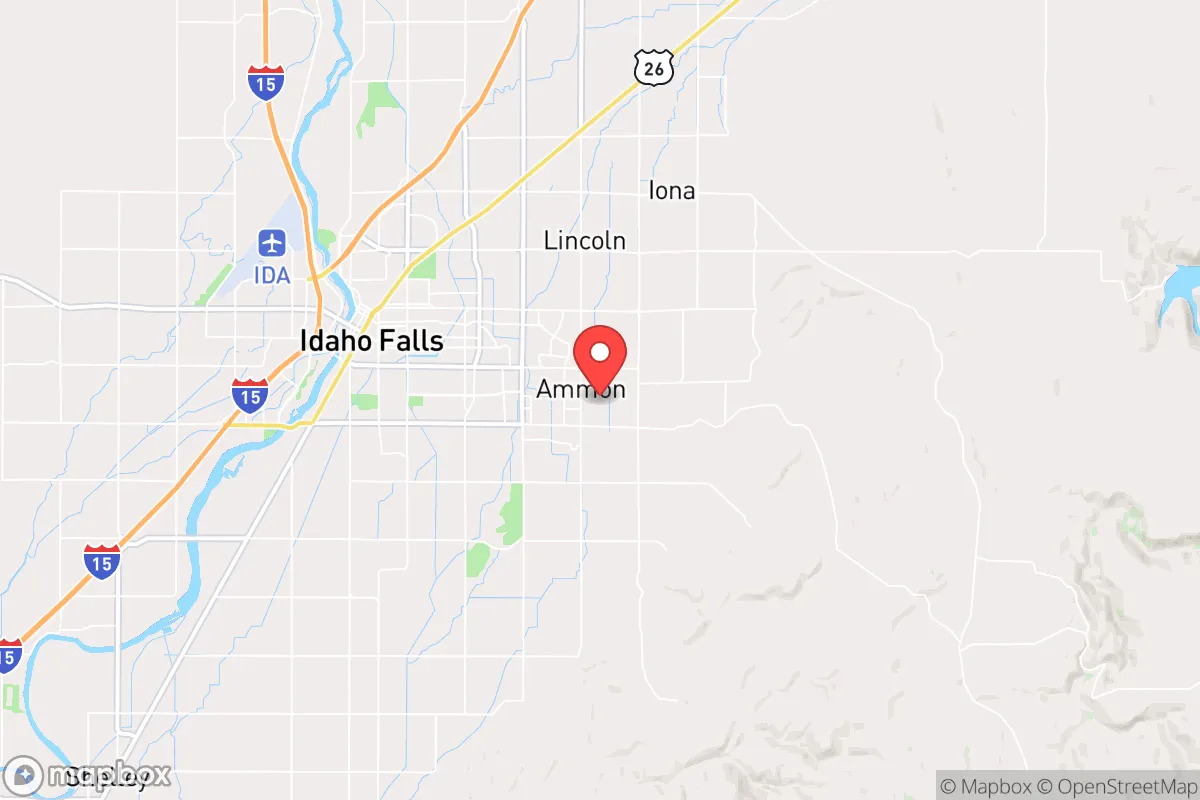
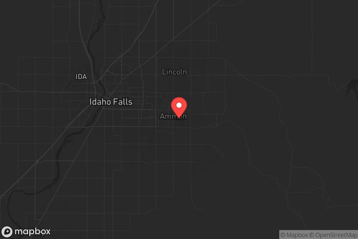
Strategic Assessment of Ammon, ID
Workable tactical position. Some exposure to population density or targets, but generally defensible in a crisis.
What does the Strategic Assessment tell us?
Our Strategic Assessment grades tactical survivability of an area. Major population centers, military targets, fallout zones, natural disasters, and border exposure all drive risk — lower exposure means a more defensible position in a crisis.
This is heavily inspired by Joel Skousen's Strategic Relocation book. Highly recommended you checkout the book ($)What does this tell us?
Our Strategic Assessment grades tactical survivability of an area. Major population centers, military targets, fallout zones, natural disasters, and border exposure all drive risk — lower exposure means a more defensible position in a crisis.
This is heavily inspired by Joel Skousen's Strategic Relocation book. Highly recommended you checkout the book ($)Strategic Pillars

Key Distances
Regional Safe Places
Below is our recommended "safe zones" in Idaho and the surrounding area based on our strategic heuristics. For most people, it's unrealistic to live in a “safe zone” full-time due to work, family or other personal reasons. They tend to be more rural. However, many of these areas are perfect for second homes and retreat properties that double as a vacation home or even a short-term rental.


Important Note: For informational purposes only. This does not mean nothing bad ever happens in the green zones. Please use common sense. This is based on public data and modeled with AI. We tried to take a conservative approach but mistakes happen. We update this regularly as new information becomes available.
Solar Generator Recommendations
Backup power matters more here than in safer locations. We've picked three solar generators across budgets and capacity tiers — start with the budget unit if you only need a few essentials, or step up if you want to run a fridge and HVAC for days at a time.

Jackery Portable Power Station Explorer 300
Budget OptionPower on the Go: Weighing only 11 lbs, it's convenient to set up and store with book-sized foldable solar panels

BLUETTI Portable Power Station AC180
Designed for both indoor and outdoor scenarios, AC180 is highly capable as it has a robost capacity and continuous output power.

EF ECOFLOW DELTA Pro Ultra Power Station
Upgraded PickEcoFlow DELTA Pro Ultra is a whole-home energy system designed to grow with your family. Integrated with the Smart Home Panel 2, it scales to meet your evolving energy needs — keeping your home powered, intelligent, and secure through every stage of life.
We earn a commission, at no additional cost to you.
Strategic Assessment Analysis
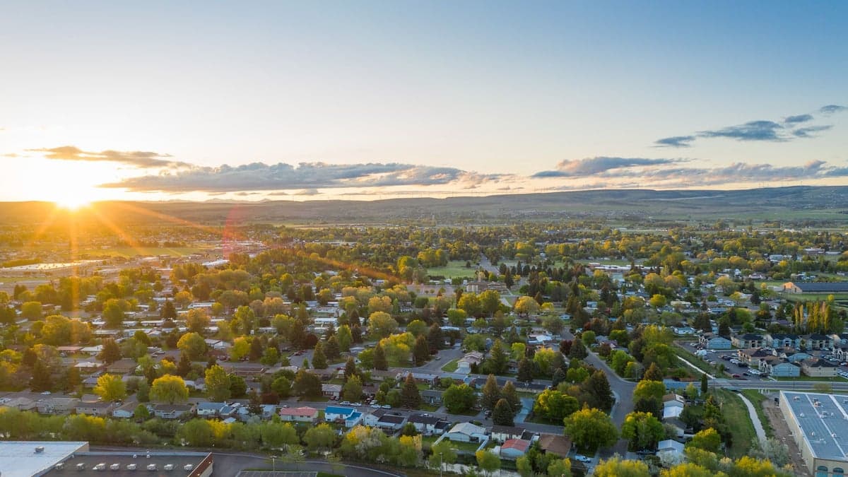
Ammon, Idaho, sits in a sweet spot that few preppers fully appreciate: close enough to the resources of Idaho Falls to be practical, yet far enough from the urban core to offer genuine strategic depth. The city’s position on the eastern edge of the Snake River Plain gives it a natural buffer against the chaos that tends to radiate from larger population centers during a crisis. For a relocator thinking in terms of decades, not just next year, Ammon’s combination of agricultural access, groundwater abundance, and a politically aligned community makes it one of the more defensible small cities in the Intermountain West.
Geographic position and natural advantages for long-term security
Ammon’s geography is its first and most underrated asset. The city sits at roughly 4,700 feet elevation on a high desert plateau, which means it avoids the floodplain risks of the Snake River while still sitting atop the Eastern Snake River Plain Aquifer — one of the largest and most productive groundwater systems in the country. For a prepper, that translates to reliable well water at depths of 100 to 300 feet, with most residential lots in the surrounding county capable of supporting a private well. The climate is semi-arid, averaging about 12 inches of precipitation annually, but the presence of the Snake River and its tributaries means irrigation water is allocated through a well-established system of canals and ditches that crisscross the area. The growing season is short — roughly 90 to 110 frost-free days — but the volcanic soil is rich in minerals, and with a greenhouse or cold frame, a family can produce a significant portion of its own calories. The surrounding landscape is open sagebrush steppe and farmland, offering long sightlines and limited cover for anyone approaching from the west or south. To the east, the Caribou-Targhee National Forest and the foothills of the Rocky Mountains provide a backcountry escape route if things go truly sideways. Ammon’s elevation also means summer temperatures rarely exceed 90°F, and winter lows can drop to -20°F, which is a serious consideration for anyone planning off-grid heating or food storage. The cold itself is a defensive asset: it slows movement, limits the operational window for bad actors, and forces anyone without proper shelter to move on.
Risks, exposures, and proximity to fallout-relevant landmarks
No strategic assessment is honest without naming the liabilities, and Ammon has a few that demand attention. The most obvious is the Idaho National Laboratory (INL), located about 30 miles west of Ammon, near Arco. INL is a 890-square-mile Department of Energy complex that handles nuclear research, spent fuel storage, and reactor testing. In a mass casualty event or a major grid-down scenario, INL becomes a two-edged sword: it’s a potential target for sabotage or a source of radioactive contamination if cooling systems fail. The prevailing winds blow from the southwest, which means a plume from INL would move northeast — away from Ammon in most weather patterns — but a shift in wind direction or a coordinated attack could change that calculus. Ammon is also roughly 50 miles from the Idaho Falls airport, which is a regional hub for medical evacuation and cargo, but in a crisis, that same airport becomes a funnel for refugees and military traffic. The city itself is growing fast — population has more than doubled since 2010 to around 18,000 — and that growth brings suburban sprawl, increased traffic on Ammon Road and Lincoln Drive, and a reliance on just a few arterial roads for egress. The Union Pacific rail line runs through Idaho Falls, carrying freight that includes hazardous materials, and a derailment or targeted disruption near the rail yards could cut off supply chains for weeks. On the natural disaster side, the area is seismically active: the Grand Valley fault and the Hebgen Lake fault are capable of producing magnitude 6.5 to 7.0 earthquakes, and the Yellowstone Caldera, while not an imminent threat, is a long-term existential risk that any prepper in the region should have on their radar. Flooding is minimal due to the elevation, but wildfire risk is moderate, especially in dry years when cheatgrass and sagebrush create a flash-fuel load around the outskirts of town.
Practical resilience for a relocator: food, water, energy, and defensibility
For a single individual or a family looking to build a resilient homestead, Ammon offers a practical mix of suburban convenience and rural capability. Water is the strongest pillar: the aquifer beneath the city is deep, clean, and accessible. Most homes in Bonneville County can drill a well for $5,000 to $12,000, and the water table sits at about 100 to 200 feet in the Ammon area. For those on city water, the source is groundwater, not surface water, which means less vulnerability to contamination from upstream agriculture or industrial spills. Food production is viable but requires work. The soil is alkaline and low in organic matter, so raised beds, imported topsoil, or a greenhouse are almost mandatory for serious gardening. Local farmers grow potatoes, barley, wheat, and alfalfa, and there are several small-scale producers selling beef, pork, and eggs at the Idaho Falls Farmers Market. For long-term storage, the dry climate is a natural advantage: root cellars and cool basements can maintain 50-55°F year-round without mechanical cooling, which is ideal for potatoes, squash, and canned goods. Energy is a mixed picture. Rocky Mountain Power provides grid electricity, and outages are infrequent but can last 12 to 24 hours during winter storms. Solar is viable — the area gets about 220 sunny days per year — but the low winter sun angle and snow cover on panels require a ground-mounted or adjustable array for year-round production. Wood heating is popular, and firewood permits are available from the Caribou-Targhee National Forest for a nominal fee. Defensibility is where Ammon shines compared to a place like Boise or Salt Lake City. The street layout is a grid with wide lots, and many homes sit on half-acre to one-acre parcels, giving you standoff distance from the road. The community is overwhelmingly LDS (Mormon), which means a built-in network of neighbors who are already organized around preparedness, food storage, and mutual aid. Bonneville County has a strong tradition of volunteer fire departments and neighborhood watch programs, and the local sheriff’s office is well-funded and responsive. The biggest defensive weakness is the lack of natural chokepoints: the terrain is flat to gently rolling, and a determined group could approach from multiple directions. But the cultural cohesion of the area — high church attendance, low crime, and a shared skepticism of federal overreach — makes it less likely that you’ll face internal threats from your own community.
The overall strategic picture for Ammon is one of calculated viability. It is not a remote bug-out location in the style of the Montana wilderness or the Idaho panhandle; it is a working-class suburb with a strong agricultural base, a reliable water supply, and a population that is culturally predisposed to self-reliance. The proximity to INL and the growth pressures from Idaho Falls are real concerns, but they are manageable with proper planning — a good well, a solar array, a wood stove, and a network of like-minded neighbors. For a conservative-leaning relocator who wants to be within a day’s drive of Yellowstone, the Tetons, and the high desert, but who also wants a community that will hold together when the news gets bad, Ammon is a solid bet. It is not a fortress, but it is a foundation. And in a world where the foundations are cracking, that counts for a lot.
* Values derived from national, state, county, city and local statistics and may differ in a specific area. Last updated: 2026-04-21T09:46:27.000Z
Narrative content on this page is AI-generated and may contain mistakes. Verify any details that matter before acting on them.
ReloMaps may earn a commission from affiliate links at no extra cost to you.