
Photo: Wikipedia
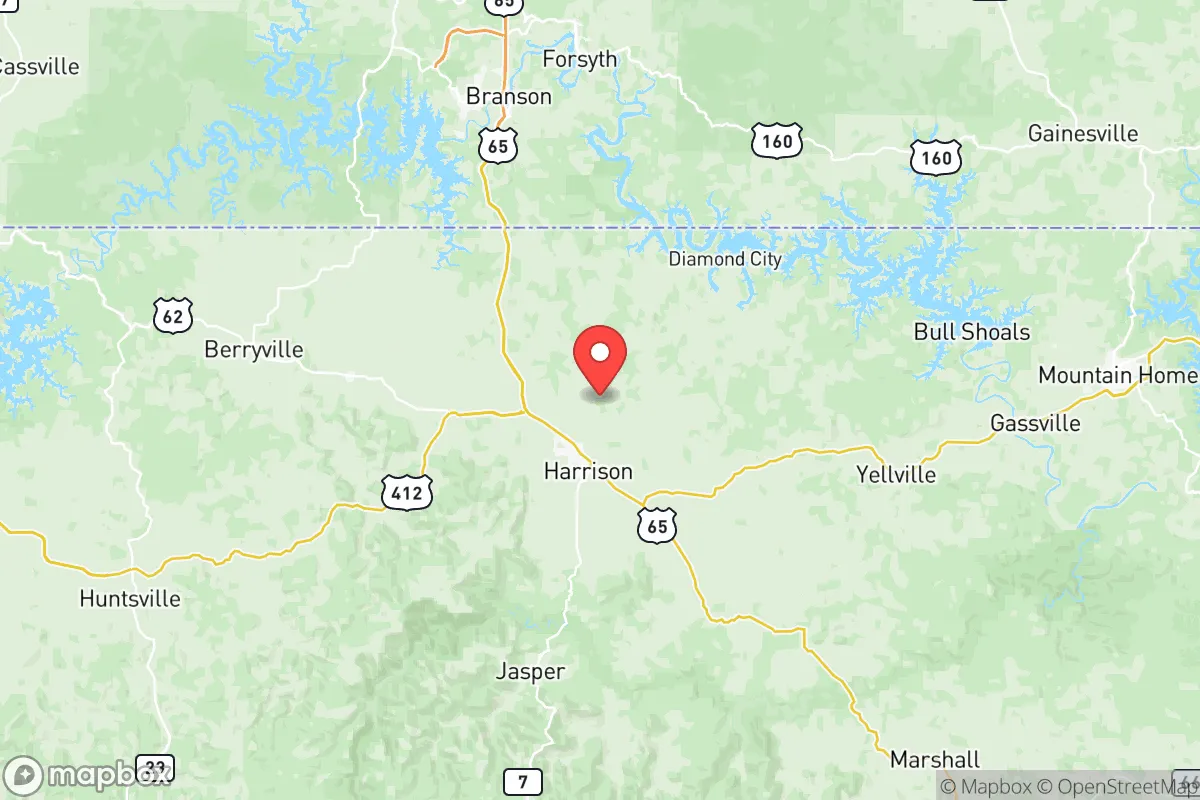
Strategic Assessment of Boone County
Strong survivability profile. Good buffer from population centers, with manageable environmental and tactical risks.
What does the Strategic Assessment tell us?
Our Strategic Assessment grades tactical survivability of an area. Major population centers, military targets, fallout zones, natural disasters, and border exposure all drive risk — lower exposure means a more defensible position in a crisis.
This is heavily inspired by Joel Skousen's Strategic Relocation book. Highly recommended you checkout the book ($)What does this tell us?
Our Strategic Assessment grades tactical survivability of an area. Major population centers, military targets, fallout zones, natural disasters, and border exposure all drive risk — lower exposure means a more defensible position in a crisis.
This is heavily inspired by Joel Skousen's Strategic Relocation book. Highly recommended you checkout the book ($)Strategic Pillars

Key Distances
Strategic Assessment Analysis
Boone County, Arkansas, offers a compelling mix of geographic isolation and practical self-reliance that appeals to relocation-minded individuals and families prioritizing resilience. Nestled in the Ozark Mountains, the county provides natural barriers and resource abundance that are rare in the lower 48, while its distance from major metropolitan targets and critical infrastructure makes it a strong candidate for those serious about disaster preparedness. The county seat, Harrison, serves as the primary population and commerce hub, but the surrounding rural areas—including communities like Valley Springs, Alpena, and Bellefonte—offer the kind of low-density, defensible terrain that strategic planners value.
Geographic position and natural advantages for long-term resilience
Boone County sits in a sweet spot of the Arkansas Ozarks, roughly 50 miles south of the Missouri border and 100 miles north of the state capital, Little Rock. The region’s defining feature is its rugged, karst topography—steep hills, deep hollows, and numerous caves and springs that provide natural cover and water sources. The Buffalo National River, one of the last free-flowing rivers in the lower 48, runs along the county’s southern edge, offering a reliable water supply that is less susceptible to contamination than surface reservoirs near industrial zones. The county’s elevation, averaging 1,200 to 1,500 feet, reduces flood risk compared to lowland areas, and the dense hardwood forests provide ample timber for fuel, construction, and concealment. Critically, Boone County is far removed from the nation’s major fallout-relevant landmarks: it sits over 200 miles from the nearest significant military installation (Fort Leonard Wood in Missouri), over 300 miles from the Dallas-Fort Worth metroplex, and over 400 miles from the St. Louis and Memphis metropolitan areas. This distance from high-value targets—including the Arkansas Nuclear One plant near Russellville, about 90 miles south—means that fallout patterns from a major exchange would likely be diluted or redirected by the region’s prevailing westerly winds and complex terrain before reaching Boone County.
Risks, exposures, and proximity to fallout-relevant landmarks
No location is risk-free, and Boone County has its own set of vulnerabilities. The most immediate natural threat is severe weather, including tornadoes and ice storms. The county sits on the northern edge of Tornado Alley, and while the Ozarks’ hills can disrupt storm formation, the area still sees an average of 10-15 tornado warnings per year. Ice storms are a more persistent hazard, often knocking out power for days or weeks—a reality that underscores the need for backup heating and off-grid energy. On the man-made risk side, the closest significant industrial target is the Arkansas Nuclear One plant in Russellville, roughly 90 miles south-southeast. While this is a substantial distance, prevailing winds from the south could carry fallout toward the county in a worst-case scenario. More concerning is the proximity to Interstate 40, a major east-west logistics corridor that runs about 30 miles south of Harrison. In a crisis, this highway could become a funnel for refugees from Memphis, Little Rock, and Oklahoma City, potentially overwhelming local resources. The county’s own infrastructure—including the North Arkansas Regional Medical Center in Harrison—is limited, with only one hospital and a handful of clinics serving a population of roughly 38,000. A major disaster could strain medical capacity quickly.
Practical resilience for a relocator: food, water, energy, and defensibility
For the self-reliant relocator, Boone County’s practical assets are strong. Water abundance is the standout feature: the county sits atop the Ozark Aquifer, and numerous springs, creeks, and the Buffalo River provide year-round surface water. Many rural properties have their own wells, and the county’s average annual rainfall of 45 inches supports rain catchment systems. Food production is viable, with a growing season of roughly 180 days and fertile valley soils in areas like the Crooked Creek watershed. Local farmers’ markets in Harrison and the surrounding communities offer seeds, livestock, and knowledge exchange, and the county’s agricultural extension office provides practical guidance. Energy independence is achievable: the region has good solar exposure (about 4.5 peak sun hours per day), and the many streams offer micro-hydro potential for properties with flowing water. Wood heat is the default for many rural homes, and the county’s forests are managed for sustainable harvest. Defensibility is a mixed picture. The rugged terrain and low population density make it easy to secure a rural homestead—narrow, winding roads and steep ridges create natural chokepoints. However, the county’s location along U.S. Highway 65, a north-south artery connecting Branson, Missouri, to Little Rock, means that Harrison itself is a potential transit point. Rural properties away from major roads, particularly in the western part of the county near the Ozark National Forest, offer the best combination of seclusion and resource access. The local culture is generally self-reliant and firearm-friendly, with a strong hunting tradition that translates into practical skills and community networks.
The overall strategic picture for Boone County is one of balanced opportunity and manageable risk. It is not a fallout-free zone—no place in the continental U.S. is—but its distance from primary targets, combined with abundant natural resources and a low-density population, makes it a strong candidate for those prioritizing long-term resilience. The key trade-off is isolation versus access: you gain security and self-sufficiency, but you lose proximity to specialized medical care, diverse employment, and urban amenities. For a family or individual willing to invest in off-grid infrastructure and build local relationships, Boone County offers a defensible, resource-rich base that is well-positioned to weather both natural disasters and larger-scale disruptions. The smartest approach is to secure property in the western or southern parts of the county, away from the I-40 corridor and U.S. 65, and to invest in redundant water, energy, and food systems before a crisis arrives.
* Values derived from national, state, county, city and local statistics and may differ in a specific area. Last updated: 2026-06-12T18:58:57.000Z
Narrative content on this page is AI-generated and may contain mistakes. Verify any details that matter before acting on them.
ReloMaps may earn a commission from affiliate links at no extra cost to you.