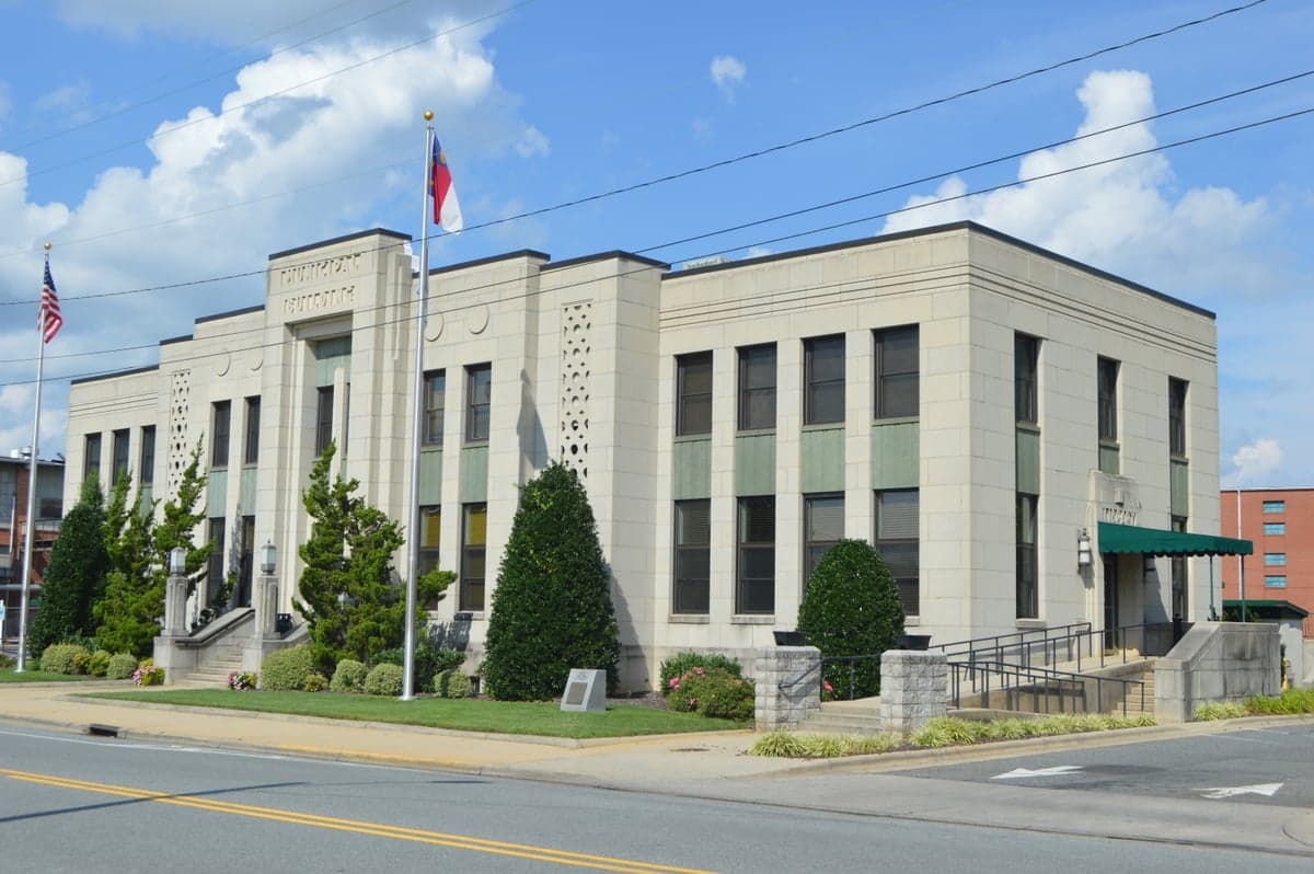
Photo: Wikipedia
Demographics of Asheboro, NC
Affluence Level in Asheboro, NC
A below-average socioeconomic profile. Incomes, home values, and educational attainment trail the U.S., with higher poverty and unemployment.
People of Asheboro, NC
The people of Asheboro, North Carolina today form a working-class, majority-minority city of 27,353 residents, defined by its deep manufacturing roots and a rapidly diversifying population. The city is notably less white (52.8%) than surrounding Randolph County, with a substantial Hispanic community (27.7%) and a significant Black population (14.1%), creating a demographic profile that is both more diverse and less college-educated (20.1%) than the national average. This is a community shaped by the furniture and textile industries, where a native-born white population has been joined by successive waves of domestic and international migrants seeking factory and warehouse work.
How the city was settled and grew
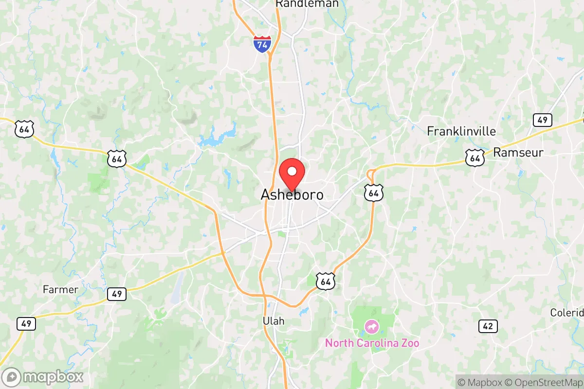
Asheboro was founded in the early 1790s as the county seat of the newly formed Randolph County, but it remained a small agricultural hamlet for most of the 19th century. The city's population boom began in earnest after the Civil War, driven by the expansion of the railroad and the rise of the furniture and textile industries. The first major wave of new residents were white farmers and their families from the surrounding rural Piedmont, who moved into town to work in the new factories. These early industrial workers settled in what is now the Historic Downtown district, building modest frame houses along Fayetteville Street and the surrounding blocks. A second wave, between 1900 and 1930, brought Black families from the Deep South and rural Randolph County, who established a distinct community in the Southside neighborhood, centered around the intersection of South Fayetteville Street and Central Avenue. This area became the heart of Asheboro's Black community, with its own churches, schools, and businesses, including the historic Central School. The city's population grew steadily through the mid-20th century, reaching roughly 10,000 by 1950, as the furniture industry continued to attract workers from across the region.
Modern era (post-1965)
The post-1965 era brought the most dramatic demographic shifts to Asheboro. The Immigration and Nationality Act of 1965 opened the door for new immigration, but the city's modern Hispanic population did not begin to grow substantially until the 1990s. This wave was driven by the expansion of the poultry processing industry (notably the Tyson Foods plant) and the construction industry, which drew Mexican and Central American workers. These newcomers initially settled in the Westside neighborhood, along the corridor of West Salisbury Street, where affordable rental housing and proximity to industrial jobs created a natural landing point. By 2000, the Hispanic share of the population had risen to roughly 15%, and it has continued to climb to its current 27.7%. The Black population, which had been stable at around 10-12% for decades, also grew slightly during this period, with some families moving into the Bunker Hill area in the northern part of the city. Meanwhile, the white population has declined in absolute numbers, as younger white residents have left for larger cities or college towns, and the remaining white population has aged in place, particularly in the Sunset Avenue corridor and the older neighborhoods near the city center. The East/Southeast Asian population (0.9%) and Indian subcontinent population (0.2%) remain very small, with most Asian residents concentrated in the North Asheboro area near the hospital and the new commercial developments along U.S. 220.
The future
Asheboro's population is heading toward a continued diversification, with the Hispanic share likely to surpass the white share within the next 10-15 years if current trends hold. The city is not tribalizing into distinct, isolated enclaves; rather, it is experiencing a gradual spatial integration, with Hispanic families moving into previously white neighborhoods like Briarwood and Fox Run as older white residents sell or pass away. The immigrant communities, particularly the Hispanic population, are showing signs of assimilation, with second-generation residents increasingly bilingual and pursuing education beyond high school. However, the city's low college attainment rate (20.1%) and heavy reliance on manufacturing and logistics jobs suggest that upward mobility will remain a challenge. The foreign-born population (8.4%) is growing slowly but steadily, with no signs of a plateau. The Black population is expected to remain stable, while the white population will continue its slow decline. The small East/Southeast Asian and Indian communities are likely to grow modestly, driven by healthcare and professional jobs at Randolph Health and the new industrial parks.
For someone moving to Asheboro now, the city is becoming a more diverse, working-class community where manufacturing still anchors the economy but where the social fabric is increasingly shaped by Hispanic culture and family life. The old white-majority, furniture-town identity is fading, replaced by a more complex, bilingual, and younger demographic reality. This is not a gentrifying or rapidly professionalizing city, but a stable, affordable place where the population is quietly remaking itself through immigration and natural increase.
* Values derived from national, state, county, city and local statistics and may differ in a specific area. Last updated: 2026-05-03T04:56:10.000Z
Narrative content on this page is AI-generated and may contain mistakes. Verify any details that matter before acting on them.
ReloMaps may earn a commission from affiliate links at no extra cost to you.