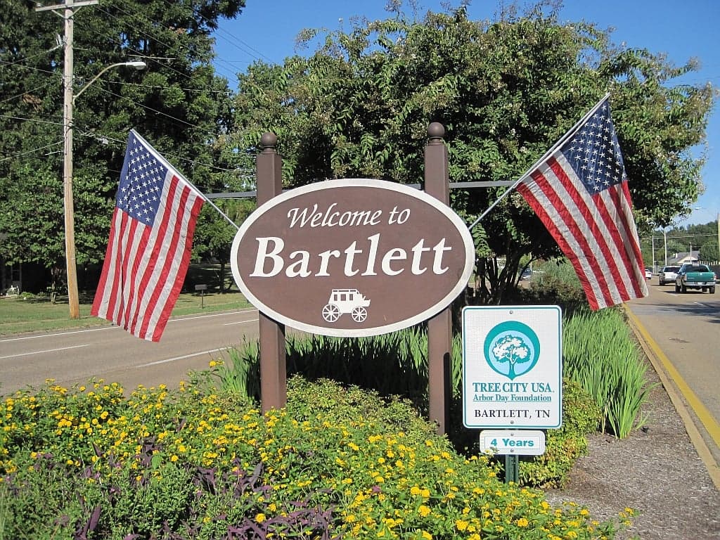
Photo: Wikipedia
Strategic Assessment of Bartlett, TN
Meaningful friction. Expect exposure to either population pressure, blast zones, or natural disaster risk. Consider buying a retreat property.
What does the Strategic Assessment tell us?
Our Strategic Assessment grades tactical survivability of an area. Major population centers, military targets, fallout zones, natural disasters, and border exposure all drive risk — lower exposure means a more defensible position in a crisis.
This is heavily inspired by Joel Skousen's Strategic Relocation book. Highly recommended you checkout the book ($)What does this tell us?
Our Strategic Assessment grades tactical survivability of an area. Major population centers, military targets, fallout zones, natural disasters, and border exposure all drive risk — lower exposure means a more defensible position in a crisis.
This is heavily inspired by Joel Skousen's Strategic Relocation book. Highly recommended you checkout the book ($)Strategic Pillars

Key Distances
Regional Safe Places
Below is our recommended "safe zones" in Tennessee and the surrounding area based on our strategic heuristics. For most people, it's unrealistic to live in a “safe zone” full-time due to work, family or other personal reasons. They tend to be more rural. However, many of these areas are perfect for second homes and retreat properties that double as a vacation home or even a short-term rental.
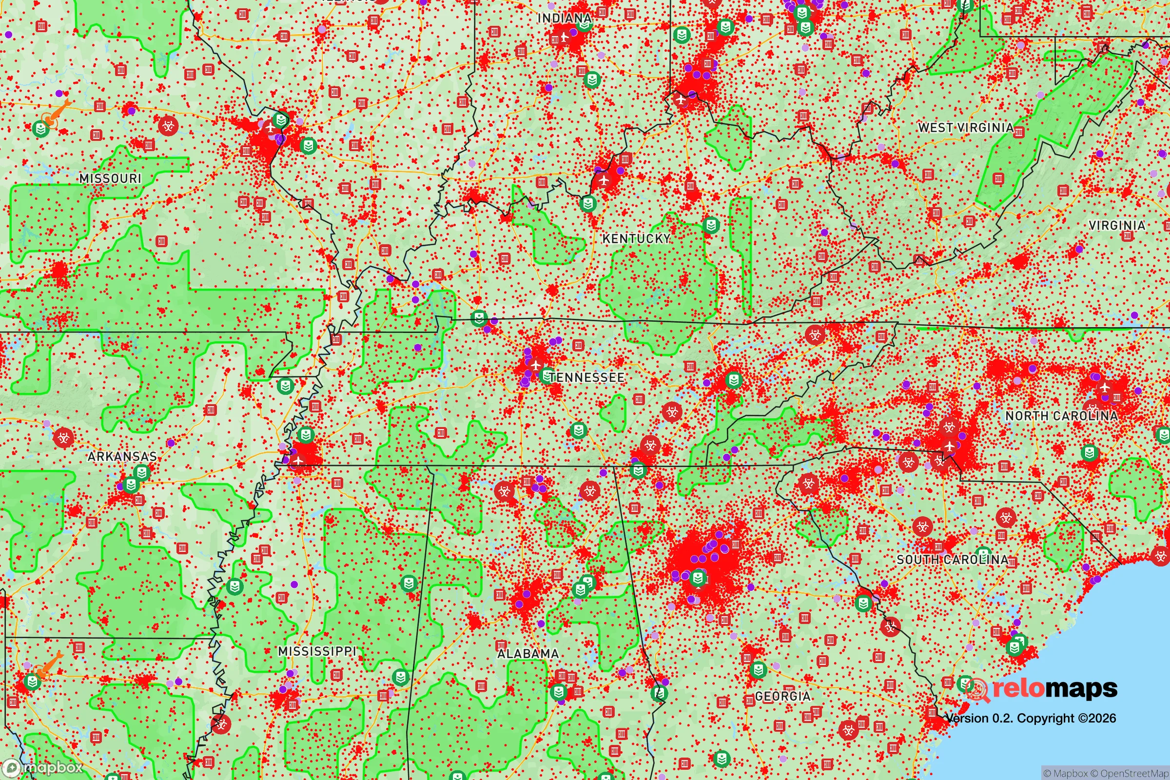
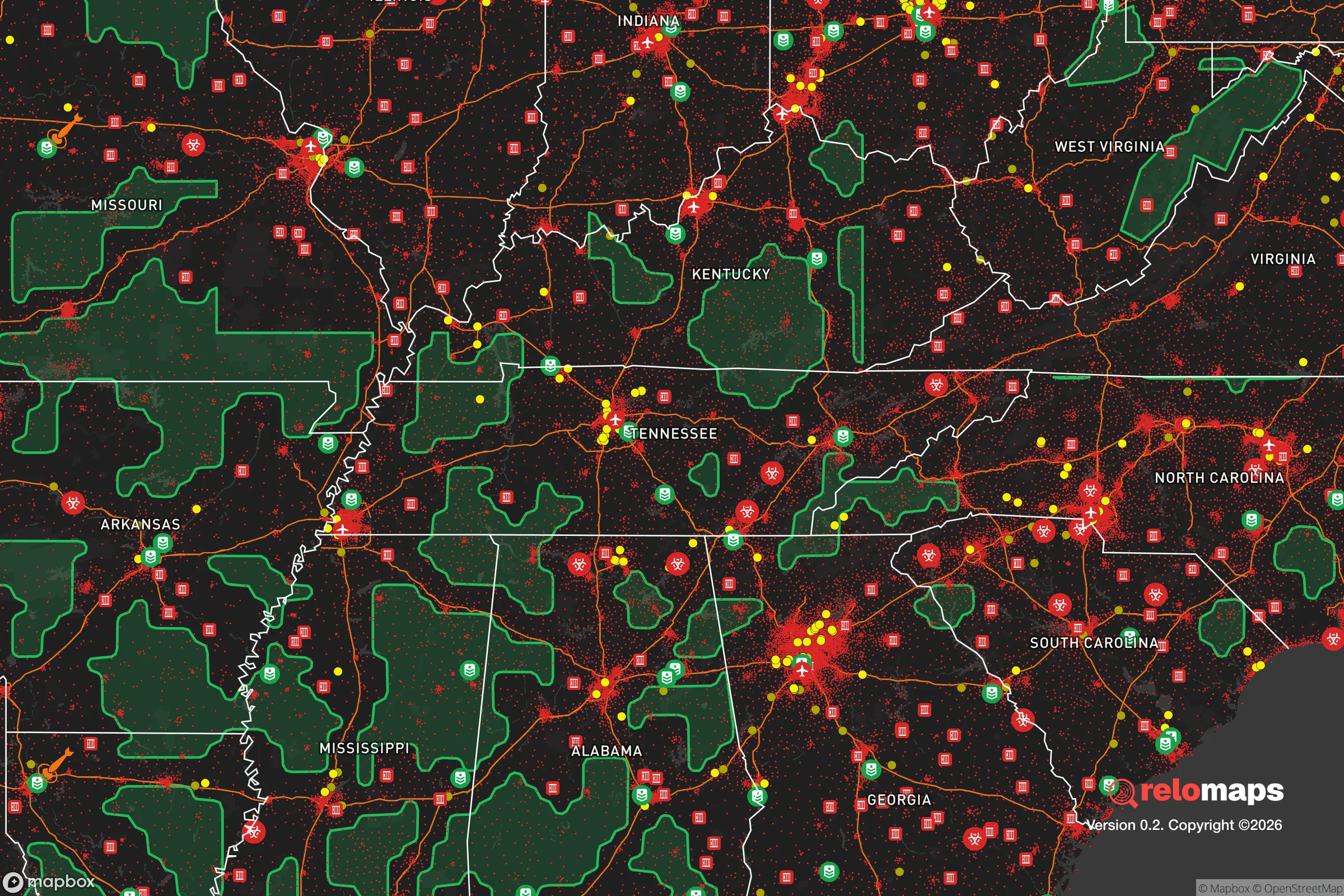
Important Note: For informational purposes only. This does not mean nothing bad ever happens in the green zones. Please use common sense. This is based on public data and modeled with AI. We tried to take a conservative approach but mistakes happen. We update this regularly as new information becomes available.
Solar Generator Recommendations
Backup power matters more here than in safer locations. We've picked three solar generators across budgets and capacity tiers — start with the budget unit if you only need a few essentials, or step up if you want to run a fridge and HVAC for days at a time.

Jackery Portable Power Station Explorer 300
Budget OptionPower on the Go: Weighing only 11 lbs, it's convenient to set up and store with book-sized foldable solar panels

BLUETTI Portable Power Station AC180
Designed for both indoor and outdoor scenarios, AC180 is highly capable as it has a robost capacity and continuous output power.

EF ECOFLOW DELTA Pro Ultra Power Station
Upgraded PickEcoFlow DELTA Pro Ultra is a whole-home energy system designed to grow with your family. Integrated with the Smart Home Panel 2, it scales to meet your evolving energy needs — keeping your home powered, intelligent, and secure through every stage of life.
We earn a commission, at no additional cost to you.
Strategic Assessment Analysis
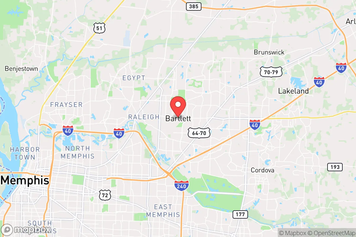
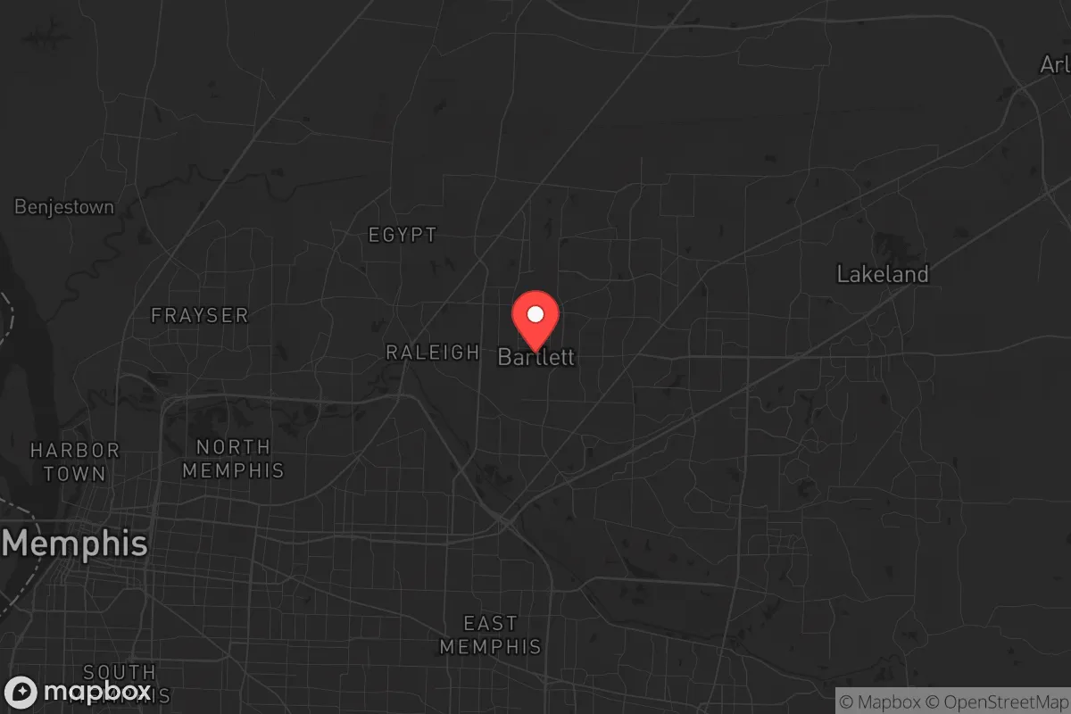
Bartlett, Tennessee, offers a mixed strategic picture for the conservative prepper: it sits in a sweet spot of suburban stability within the Memphis metro, but its proximity to a major urban center and the New Madrid Seismic Zone introduces significant vulnerabilities. The city’s resilience is rooted in its strong local governance, relatively low crime rates compared to Memphis proper, and access to the region’s agricultural and logistical backbone. However, any serious assessment must weigh these advantages against the risks of being within the fallout shadow of a major city and the potential for cascading infrastructure failures during a crisis.
Geographic position and natural advantages for long-term stability
Bartlett’s location in Shelby County places it roughly 20 miles east of downtown Memphis, a buffer that provides some insulation from the immediate chaos of urban collapse while still offering access to the region’s economic and transportation networks. The area sits on the eastern edge of the Mississippi Alluvial Plain, transitioning into the rolling hills of West Tennessee, which gives it slightly better drainage and less flood risk than communities directly on the Mississippi River. The Loosahatchie River runs along the city’s northern border, and while it’s not a major water source for survival, it does create a natural boundary that could slow movement from the north during unrest. The city’s elevation averages around 300 feet, which is negligible for most disasters but does mean it’s not in the immediate floodplain of the Mississippi. For a relocator, the key natural advantage is the region’s agricultural productivity—Shelby County and surrounding areas are part of the Mid-South’s breadbasket, with corn, soybeans, and cotton dominating the landscape. This means local food production is viable, though it’s heavily industrialized and not necessarily accessible to the average homeowner without land.
Risks, exposures, and proximity to fallout-relevant landmarks
The most glaring risk for Bartlett is its proximity to Memphis, a city of roughly 630,000 that has struggled with violent crime, economic inequality, and periodic civil unrest. In a mass casualty event or societal breakdown, Memphis would likely become a source of refugees, looters, and organized criminal elements moving east along I-40 and US-64. Bartlett’s police department is well-regarded and has a strong presence, but it’s a suburban force designed for routine patrols, not a sustained siege. The city is also within 50 miles of the New Madrid Seismic Zone, which seismologists consider capable of producing a magnitude 7.0 or greater earthquake. Such an event would devastate Memphis’s infrastructure—bridges, water mains, and gas lines—and the effects would ripple into Bartlett, including potential liquefaction in low-lying areas and widespread power outages. Additionally, Bartlett is within 100 miles of the Tennessee Valley Authority’s nuclear plants (Watts Bar and Sequoyah), and while a direct strike is unlikely, a catastrophic failure could put the city in a downwind fallout plume depending on weather patterns. The city’s industrial neighbors include chemical plants and rail lines along the Mississippi, which are potential targets for sabotage or accidental release during unrest.
Practical resilience for a relocator: food, water, energy, and defensibility
For a relocator focused on self-sufficiency, Bartlett’s suburban character presents both opportunities and constraints. The city’s water supply comes from the Memphis Sand Aquifer, a deep, high-quality source that is less vulnerable to surface contamination than many municipal systems. However, the distribution network relies on electric pumps, meaning a prolonged grid failure would cut water access within hours unless you have a private well or stored reserves. Most homes in Bartlett are on city water, so drilling a well after purchase is an option but requires permits and significant cost—figure $5,000 to $15,000 for a residential well. Food resilience is moderate: the city has several grocery chains (Kroger, Walmart, Aldi), but these would empty within days of a crisis. Local farmers’ markets exist but are seasonal and small-scale. For long-term storage, the climate is humid and hot (summer highs average 90°F), which makes dry goods prone to spoilage without climate-controlled storage. Energy-wise, Bartlett is served by Memphis Light, Gas and Water (MLGW), which has a mixed reliability record—outages from storms are common, and the grid is aging. Solar panels are feasible but require battery backup to be useful during grid-down scenarios, and the region’s cloud cover can reduce output in winter. Defensibility is the weakest point: Bartlett is a sprawling suburb with grid-like streets, multiple entry points, and no natural chokepoints. A single-family home on a standard lot offers limited perimeter security, and the city’s density means neighbors are close enough to be a concern during unrest. Rural properties in Fayette County to the east offer far better defensibility, but they lack Bartlett’s immediate access to medical facilities and supply chains.
The overall strategic picture for Bartlett is one of calculated trade-offs. It’s not a survivalist’s paradise—it’s too close to a major city, too dependent on centralized infrastructure, and too flat to offer natural defense. But for a relocator who wants to maintain a professional job in Memphis while building a resilient household, it’s a viable base camp. The key is to treat Bartlett as a staging area: stockpile supplies for 90 days, invest in a backup generator and water filtration, and have a bug-out plan for rural property east of the city. The city’s conservative governance and active community associations provide a social buffer against the worst of urban decay, but they won’t stop a determined mob or a seismic event. If you’re looking for a place to ride out the coming instability while staying close to work and resources, Bartlett works—but only if you’re prepared to leave when the ground shakes or the city burns.
* Values derived from national, state, county, city and local statistics and may differ in a specific area. Last updated: 2026-05-03T20:32:35.000Z
Narrative content on this page is AI-generated and may contain mistakes. Verify any details that matter before acting on them.
ReloMaps may earn a commission from affiliate links at no extra cost to you.