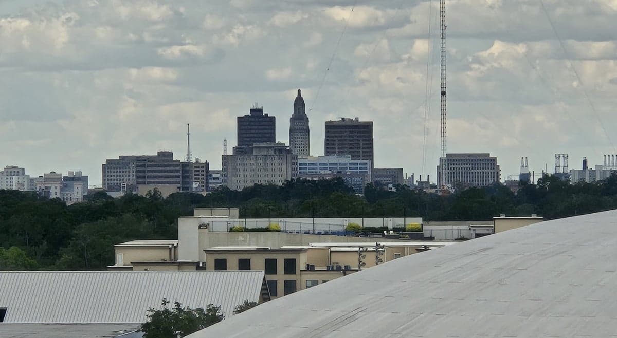

Photo: Wikipedia
Strategic Assessment of Baton Rouge, LA
Meaningful friction. Expect exposure to either population pressure, blast zones, or natural disaster risk. Consider buying a retreat property.
What does the Strategic Assessment tell us?
Our Strategic Assessment grades tactical survivability of an area. Major population centers, military targets, fallout zones, natural disasters, and border exposure all drive risk — lower exposure means a more defensible position in a crisis.
This is heavily inspired by Joel Skousen's Strategic Relocation book. Highly recommended you checkout the book ($)What does this tell us?
Our Strategic Assessment grades tactical survivability of an area. Major population centers, military targets, fallout zones, natural disasters, and border exposure all drive risk — lower exposure means a more defensible position in a crisis.
This is heavily inspired by Joel Skousen's Strategic Relocation book. Highly recommended you checkout the book ($)Strategic Pillars

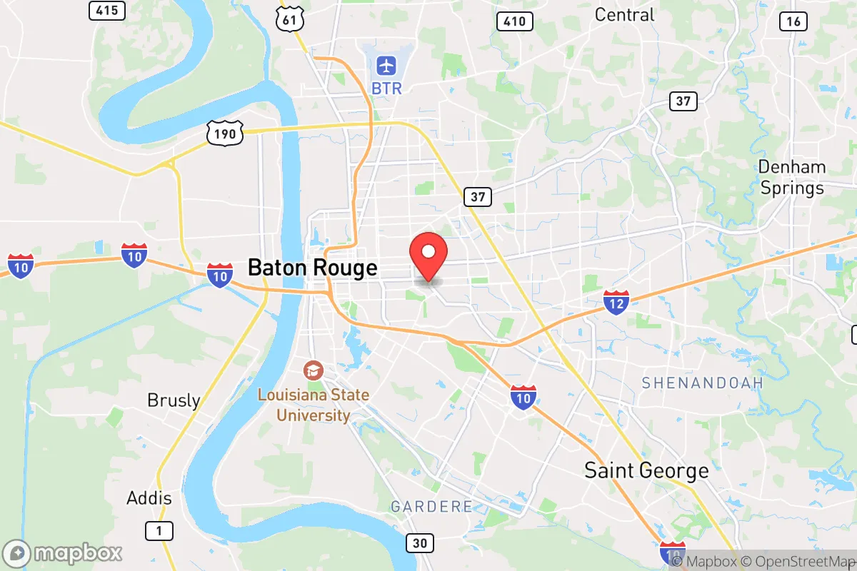
Key Distances
Regional Safe Places
Below is our recommended "safe zones" in Louisiana and the surrounding area based on our strategic heuristics. For most people, it's unrealistic to live in a “safe zone” full-time due to work, family or other personal reasons. They tend to be more rural. However, many of these areas are perfect for second homes and retreat properties that double as a vacation home or even a short-term rental.

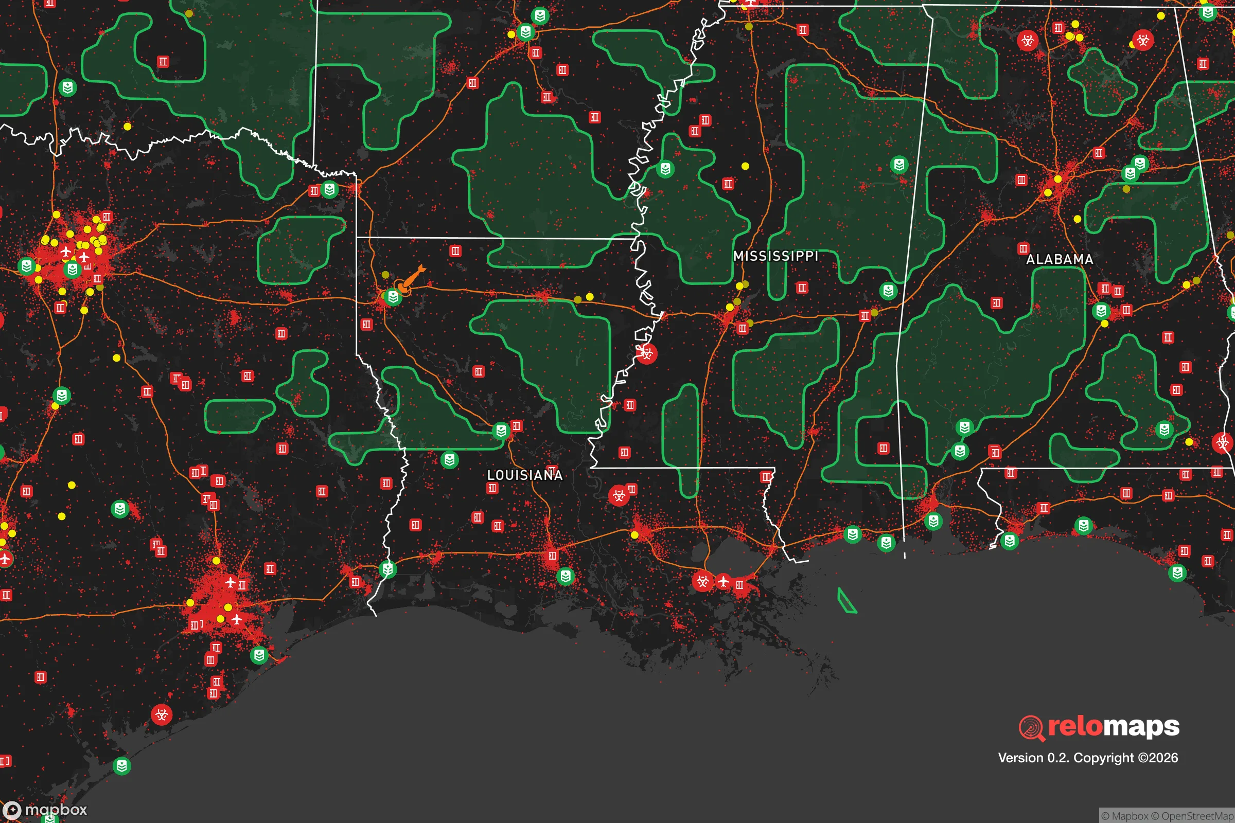
Important Note: For informational purposes only. This does not mean nothing bad ever happens in the green zones. Please use common sense. This is based on public data and modeled with AI. We tried to take a conservative approach but mistakes happen. We update this regularly as new information becomes available.
Solar Generator Recommendations
Backup power matters more here than in safer locations. We've picked three solar generators across budgets and capacity tiers — start with the budget unit if you only need a few essentials, or step up if you want to run a fridge and HVAC for days at a time.

Jackery Portable Power Station Explorer 300
Budget OptionPower on the Go: Weighing only 11 lbs, it's convenient to set up and store with book-sized foldable solar panels

BLUETTI Portable Power Station AC180
Designed for both indoor and outdoor scenarios, AC180 is highly capable as it has a robost capacity and continuous output power.

EF ECOFLOW DELTA Pro Ultra Power Station
Upgraded PickEcoFlow DELTA Pro Ultra is a whole-home energy system designed to grow with your family. Integrated with the Smart Home Panel 2, it scales to meet your evolving energy needs — keeping your home powered, intelligent, and secure through every stage of life.
We earn a commission, at no additional cost to you.
Strategic Assessment Analysis
Baton Rouge offers a mixed strategic picture for the conservative prepper: it sits on the Mississippi River corridor, providing robust water and transport access, but its proximity to petrochemical infrastructure and a major state capital makes it a high-risk zone for both natural disasters and man-made disruptions. The city’s location roughly 80 miles upriver from New Orleans and 60 miles southeast of the state’s nuclear plant at St. Francisville means you’re within the fallout and disruption radius of two major vulnerability nodes. For a relocator prioritizing long-term survivability, Baton Rouge is less a retreat and more a forward operating base—close enough to leverage resources, far enough to require a serious exit plan.
Geographic position and natural advantages for long-term survival
Baton Rouge’s primary strategic asset is its position on the Mississippi River, which provides an almost unlimited water source for filtration and transport, as well as access to the Gulf Intracoastal Waterway. The city sits on the eastern bank of the river, with the Atchafalaya Basin to the west—a massive swamp that acts as a natural barrier against overland movement from that direction. The surrounding terrain is flat, with mixed hardwood forests and agricultural land that could support subsistence farming if properly managed. The local climate allows for year-round growing seasons, a significant advantage for food security. However, the same geography that provides water also brings chronic flood risk: the city is protected by levees, but a catastrophic failure—whether from a hurricane, sabotage, or neglect—could inundate large areas. The Mississippi River’s industrial traffic also means that any disruption to barge or rail lines would immediately affect fuel and supply chains, making self-sufficiency in fuel storage and food stockpiling critical.
Risks, exposures, and proximity to fallout-relevant landmarks
The most glaring vulnerability for Baton Rouge is its concentration of petrochemical and refining infrastructure. The stretch of the Mississippi between Baton Rouge and New Orleans is known as "Cancer Alley," with over 150 industrial facilities including ExxonMobil’s massive Baton Rouge Refinery—one of the largest in the country. In a scenario involving civil unrest, a coordinated attack, or a major accident, these plants represent both a target and a hazard. A release of chlorine, ammonia, or hydrogen fluoride could render large areas uninhabitable for days or weeks. Additionally, the River Bend Nuclear Station at St. Francisville, about 25 miles north, is within the 50-mile emergency planning zone that covers Baton Rouge. While a meltdown is statistically unlikely, the consequences would be severe, and the prevailing wind patterns could carry fallout directly over the city. The state capitol and Louisiana State University are also potential targets for symbolic attacks or protests, which could trigger localized unrest. For the prepper, the key takeaway is that Baton Rouge is not a bug-out location—it’s a place where you need to be ready to leave within hours if the wind shifts or the sirens sound.
Practical resilience for a relocator: food, water, energy, and defensibility
On the practical side, Baton Rouge has some advantages for a relocator willing to invest in preparation. The local water table is high, meaning shallow wells can provide potable water with proper filtration, though you’ll need to test for industrial runoff. The city’s power grid is tied to Entergy Louisiana, which has a mixed reliability record—hurricanes and heat waves cause frequent outages, so solar panels with battery storage are a wise investment. Food access is decent: the city has multiple farmers’ markets, and the surrounding parishes have cattle, poultry, and row crops like soybeans and corn. However, grocery store shelves empty quickly during hurricane warnings, so a three-month supply of non-perishables is the baseline. Defensibility is a challenge. Baton Rouge is a sprawling, car-dependent city with few natural chokepoints. The suburbs—like Zachary, Central, and Prairieville—offer more defensible layouts with larger lots and lower population density, but they’re still within easy driving distance of the city’s unrest. For a single person or family, a rural property in West Feliciana or East Baton Rouge Parish’s northern fringe, with a well, septic, and a wood-burning stove, would be the most resilient setup. The local gun culture is strong, and Louisiana has permissive concealed carry laws, which is a plus for self-defense, but it also means that in a crisis, you’ll be competing with many other armed individuals for resources.
Overall, Baton Rouge is a high-risk, moderate-reward location for the strategic relocator. Its industrial and political significance makes it a likely flashpoint during national instability, and its geography exposes it to both natural and man-made disasters. The city’s strengths—abundant water, a long growing season, and proximity to rural retreat zones—are real, but they require a disciplined preparation mindset and a clear evacuation plan. For the conservative prepper who wants to stay engaged with a regional economy while maintaining a bug-out property in the surrounding countryside, Baton Rouge can work as a base of operations. But as a standalone survival location, it falls short. The smart play is to treat it as a temporary hub, not a final destination, and to have a secondary location at least 100 miles north or west that’s off the major industrial corridors. In a world where the grid and supply chains are fragile, Baton Rouge is a place to pass through, not to dig in.
* Values derived from national, state, county, city and local statistics and may differ in a specific area. Last updated: 2026-04-23T05:02:58.000Z
Narrative content on this page is AI-generated and may contain mistakes. Verify any details that matter before acting on them.
ReloMaps may earn a commission from affiliate links at no extra cost to you.