
Photo: Wikipedia
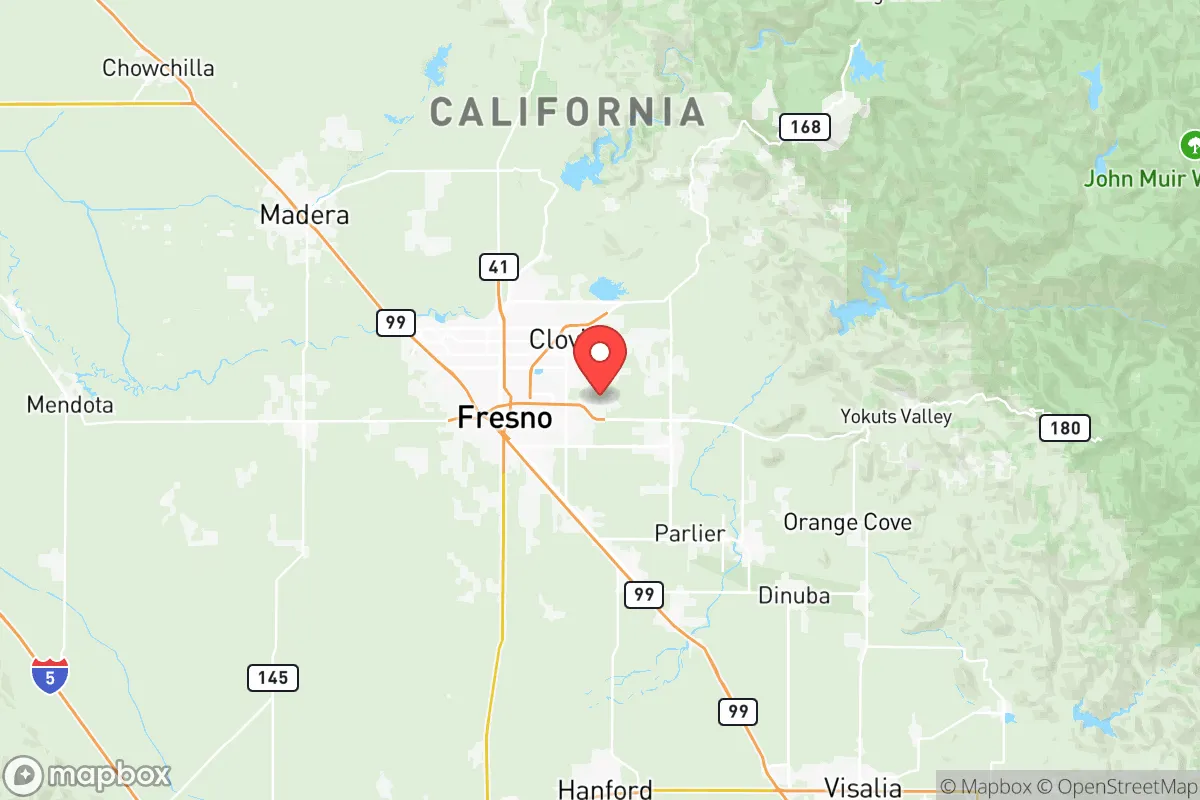
Strategic Assessment of Fresno County
Multiple tactical vulnerabilities. Population density, target proximity, or disaster risk are likely compounding. A retreat property and exit planning is required.
What does the Strategic Assessment tell us?
Our Strategic Assessment grades tactical survivability of an area. Major population centers, military targets, fallout zones, natural disasters, and border exposure all drive risk — lower exposure means a more defensible position in a crisis.
This is heavily inspired by Joel Skousen's Strategic Relocation book. Highly recommended you checkout the book ($)What does this tell us?
Our Strategic Assessment grades tactical survivability of an area. Major population centers, military targets, fallout zones, natural disasters, and border exposure all drive risk — lower exposure means a more defensible position in a crisis.
This is heavily inspired by Joel Skousen's Strategic Relocation book. Highly recommended you checkout the book ($)Strategic Pillars

Key Distances
Strategic Assessment Analysis
Fresno County offers a surprisingly strong strategic position for those prioritizing resilience, sitting at the geographic and logistical crossroads of California’s Central Valley. Its location provides a buffer from coastal chaos while maintaining access to critical resources, making it a viable base for long-term sustainability. The county’s agricultural dominance, water infrastructure, and distance from major metropolitan fallout zones create a unique combination of self-sufficiency and defensibility that appeals to preppers and conservative relocators alike.
Geographic position and natural advantages for long-term sustainability
Fresno County’s location is its primary strategic asset. It sits roughly equidistant from the San Francisco Bay Area and Los Angeles—about 180 miles from each—placing it outside the immediate blast radius or fallout plume of those major population centers. The county is anchored by the city of Fresno (population ~545,000), but the surrounding landscape offers rural and semi-rural options like Clovis, Sanger, and the foothill communities of Auberry and Prather. The Sierra Nevada mountains to the east provide a natural barrier and a source of clean water, while the Coast Ranges to the west offer additional separation from coastal instability. The county’s position along State Route 99 and Interstate 5 gives it access to north-south corridors without being a primary target. The San Joaquin River, Kings River, and Millerton Lake provide surface water that is less vulnerable to drought than groundwater-dependent areas. The region’s Mediterranean climate—hot, dry summers and mild, wet winters—supports year-round agriculture, which is a critical resilience factor. The county’s elevation ranges from about 200 feet in the valley floor to over 10,000 feet in the Sierra, offering microclimates and defensible terrain for those willing to move into the foothills.
Risks, exposures, and proximity to fallout-relevant landmarks
No strategic assessment is complete without acknowledging vulnerabilities. Fresno County’s biggest exposure is its proximity to California’s major infrastructure targets. The San Onofre Nuclear Generating Station (SONGS) is roughly 250 miles south, but the Diablo Canyon Power Plant near San Luis Obispo is only about 130 miles west—within potential fallout range depending on wind patterns. The Port of Oakland and the Port of Long Beach are both about 200 miles away, but supply chain disruptions there would ripple into the Central Valley quickly. The county is also near the Los Angeles refinery corridor, which includes the Wilmington and Carson refineries—major targets for EMP or conventional attack. Within Fresno County itself, the Fresno Yosemite International Airport and the Union Pacific rail yard are moderate-risk infrastructure, but they are not primary strategic targets. The county’s agricultural processing plants, including the large Sun-Maid raisin facility in Kingsburg and the Foster Farms poultry plant in Fresno, could become secondary targets in a prolonged disruption. The San Andreas Fault runs through the western edge of the county, near Coalinga, posing a seismic risk that could disrupt roads and utilities. The county’s flat terrain offers little natural cover from aerial surveillance or fallout, though the Sierra foothills provide some relief. The biggest risk is the county’s dependence on imported energy—most electricity comes from the grid, and natural gas pipelines from the south are vulnerable. A major earthquake or EMP event could leave the valley without power for weeks.
Practical resilience for a relocator: food, water, energy, and defensibility
Fresno County’s practical resilience is anchored in its agricultural output. The county is the top producer in the nation for almonds, grapes, and tomatoes, and it ranks high for dairy, poultry, and citrus. This means local food availability is high, even if supply chains break down. The county’s water situation is more complex. The Friant-Kern Canal and the Delta-Mendota Canal deliver surface water from the Sierra snowpack, but groundwater overdraft is a serious issue—the San Joaquin Valley has lost over 100 feet of aquifer depth in some areas. For a relocator, securing a property with senior water rights or access to a well with a deep pump is essential. The Kings River and Millerton Lake offer reliable surface water for those with legal access. Energy is the weak link. The county has some solar capacity, but it is not enough for a full grid-down scenario. A relocator should plan for off-grid solar with battery storage, plus a backup generator and fuel storage. The county’s defensibility varies by location. The valley floor is open and hard to defend, but the foothill communities like Auberry and Prather offer terrain that is easier to secure. The county’s law enforcement presence is moderate—the Fresno County Sheriff’s Office has about 800 deputies, but response times in rural areas can exceed 30 minutes. The county has a strong hunting and firearms culture, which aligns with a prepper mindset. The local economy is diverse enough to support barter and trade in a collapse scenario, with farmers, mechanics, and medical professionals all present. The county’s proximity to Yosemite National Park and the Sierra National Forest provides access to public land for hunting, foraging, and timber, but those areas would be contested in a crisis.
The overall strategic picture for Fresno County is one of calculated trade-offs. It offers a strong agricultural base, decent water access, and a location that is far enough from major targets to avoid the worst of a coastal collapse, yet close enough to be affected by supply chain disruptions and fallout from Diablo Canyon or the Los Angeles refinery corridor. The county’s flat terrain and grid dependence are liabilities, but the foothill communities provide a defensible fallback. For a conservative relocator who values self-sufficiency and is willing to invest in off-grid infrastructure, Fresno County is a solid B+ option—not a fortress, but a viable base for weathering the storm. The key is to avoid the valley floor and focus on properties with water rights, solar access, and defensible terrain in the eastern foothills. The county’s agricultural abundance and distance from the coast make it a better bet than most of California’s population centers, but it is not a bug-out location—it is a place to build a resilient community over time.
* Values derived from national, state, county, city and local statistics and may differ in a specific area. Last updated: 2026-05-28T07:47:28.000Z
Narrative content on this page is AI-generated and may contain mistakes. Verify any details that matter before acting on them.
ReloMaps may earn a commission from affiliate links at no extra cost to you.