Photo: Wikipedia
Strategic Assessment of Kern County
Meaningful friction. Expect exposure to either population pressure, blast zones, or natural disaster risk. Consider buying a retreat property.
What does the Strategic Assessment tell us?
Our Strategic Assessment grades tactical survivability of an area. Major population centers, military targets, fallout zones, natural disasters, and border exposure all drive risk — lower exposure means a more defensible position in a crisis.
This is heavily inspired by Joel Skousen's Strategic Relocation book. Highly recommended you checkout the book ($)What does this tell us?
Our Strategic Assessment grades tactical survivability of an area. Major population centers, military targets, fallout zones, natural disasters, and border exposure all drive risk — lower exposure means a more defensible position in a crisis.
This is heavily inspired by Joel Skousen's Strategic Relocation book. Highly recommended you checkout the book ($)Strategic Pillars

Key Distances
Strategic Assessment Analysis
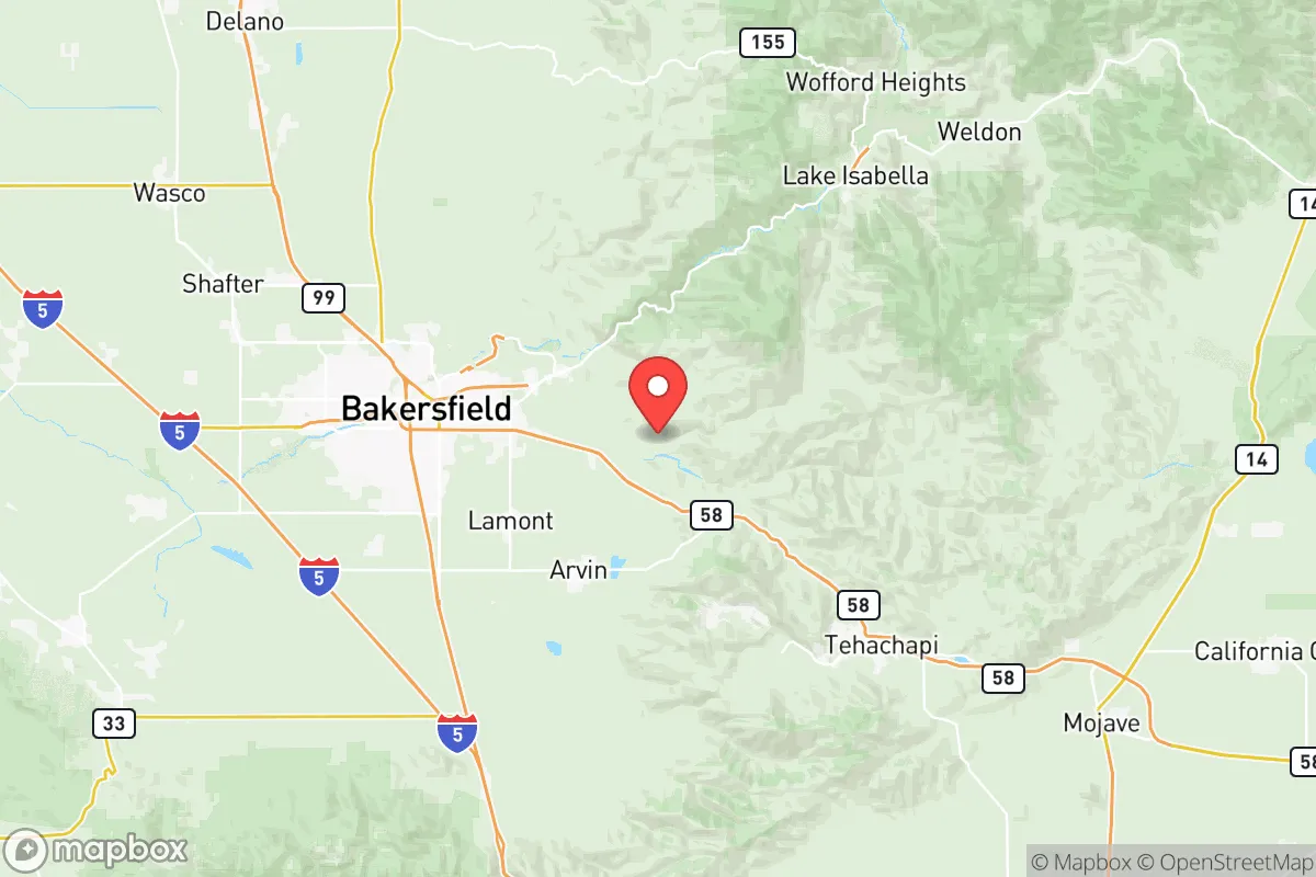
Kern County offers a compelling strategic position for relocators prioritizing resilience and self-sufficiency, combining geographic isolation from major metropolitan fallout zones with robust local resource production. Its location at the southern end of the San Joaquin Valley places it roughly 100 miles from the Los Angeles basin and 280 miles from the San Francisco Bay Area, distances that provide meaningful buffer from the immediate effects of a major urban disaster while still allowing access to those economies when conditions are stable. The county’s population of roughly 920,000 is centered around Bakersfield, with smaller communities like Tehachapi, Ridgecrest, and Delano offering distinct advantages for those seeking deeper rural buffers.
Geographic position and natural advantages for disaster resilience
Kern County’s geography provides several structural advantages for long-term resilience. The Tehachapi Mountains form a natural barrier to the south, separating the county from the Los Angeles metro area and creating a defensible chokepoint along the Grapevine section of Interstate 5. To the east, the Sierra Nevada range offers high-altitude refuges and watersheds, while the Coast Ranges to the west provide additional separation from coastal threats. The county’s position in the southern Central Valley means it sits in one of the most agriculturally productive regions in the world, with over 1.5 million acres of irrigated farmland producing almonds, pistachios, carrots, and dairy products. This local food production capacity is a major strategic asset—Kern County grows more than $7 billion in agricultural commodities annually, meaning a relocator here is within miles of the source of their food supply, not reliant on distant supply chains. The area also benefits from abundant sunshine, with over 270 sunny days per year, supporting solar energy generation and outdoor self-sufficiency activities.
Risks, exposures, and proximity to fallout-relevant landmarks
Kern County is not without significant risk exposures that a strategic relocator must weigh. The county sits in a seismically active region, with the San Andreas Fault running along its southwestern edge near the town of Frazier Park. A major rupture on the southern San Andreas could disrupt the aqueducts that carry water from the Sierra Nevada to Southern California, though Kern County’s local groundwater and canal systems (the California Aqueduct and Friant-Kern Canal) provide some redundancy. The county is also home to Naval Air Weapons Station China Lake near Ridgecrest, one of the U.S. Navy’s largest research, development, and testing facilities for weapons systems. This installation, which covers 1.1 million acres, is a potential target in a conflict scenario, and its proximity to the eastern side of the county means relocators in Ridgecrest or Inyokern face elevated risk. Additionally, Kern County is the state’s largest oil-producing region, with thousands of active wells and refineries near Bakersfield and Taft. While this energy infrastructure provides local fuel security, it also creates industrial accident hazards and potential targeting in a broader conflict. Wildfire risk is high in the foothill communities of Tehachapi and the Kern River Valley, with the 2021 French Fire and 2022 Windy Fire serving as recent reminders of the danger. The county’s location downwind of the San Joaquin Valley’s agricultural burning and industrial emissions also means air quality is poor during inversion events, a chronic health consideration.
Practical resilience for a relocator: food, water, energy, and defensibility
For a relocator focused on practical self-sufficiency, Kern County’s strengths are substantial but require careful location selection. Water access is the single most critical factor—the county overlies the Kern County Groundwater Basin, one of the most productive aquifers in California, but decades of agricultural over-pumping have led to subsidence and declining water tables. Properties with senior water rights or access to the Kern River or Friant-Kern Canal are far more secure than those relying on municipal supplies from the State Water Project, which is vulnerable to drought and earthquake disruption. The Kern River, which flows from the Sierra Nevada through Bakersfield, provides a reliable surface water source for those with riparian access. Energy independence is a major advantage—Kern County produces more oil than any other county in California, and the Tehachapi Pass is home to one of the largest concentrations of wind turbines in the world, generating over 4,500 megawatts. Solar potential is excellent, and many rural properties already have off-grid solar setups. For defensibility, the mountainous terrain around Tehachapi and the Kern River Valley offers natural chokepoints and limited access roads, making these areas easier to secure than the flat agricultural expanses of the valley floor. The county’s agricultural base means that even in a disruption scenario, local farmers’ markets, roadside stands, and direct-from-producer food sources remain viable. Bakersfield’s position as a transportation hub—with Interstate 5, State Route 99, and rail connections—provides logistical access but also makes it a potential chokepoint for movement during a crisis. Relocators should prioritize properties with on-site water storage, solar capacity, and defensible space against wildfire, particularly in the foothill zones.
The overall strategic picture for Kern County is one of high potential tempered by specific, manageable risks. Its isolation from major urban centers, combined with local food and energy production, makes it one of the more resilient regions in California for a relocator prioritizing self-sufficiency. The presence of China Lake and oil infrastructure introduces man-made risk, but these are localized to specific areas—a relocator choosing a property in the Tehachapi Mountains or along the Kern River can avoid the highest exposure zones while retaining access to the county’s resource base. The key trade-off is between the agricultural abundance and transportation connectivity of the valley floor versus the defensibility and wildfire risk of the foothills. For a family or individual willing to invest in water security and fire mitigation, Kern County offers a realistic foundation for long-term resilience that few other California regions can match.

* Values derived from national, state, county, city and local statistics and may differ in a specific area. Last updated: 2026-08-08T14:40:28.000Z
Narrative content on this page is AI-generated and may contain mistakes. Verify any details that matter before acting on them.
ReloMaps may earn a commission from affiliate links at no extra cost to you.

