Photo: Wikipedia
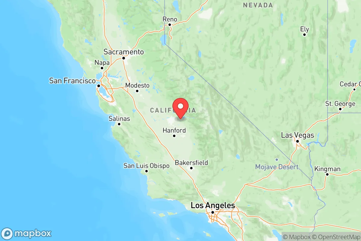
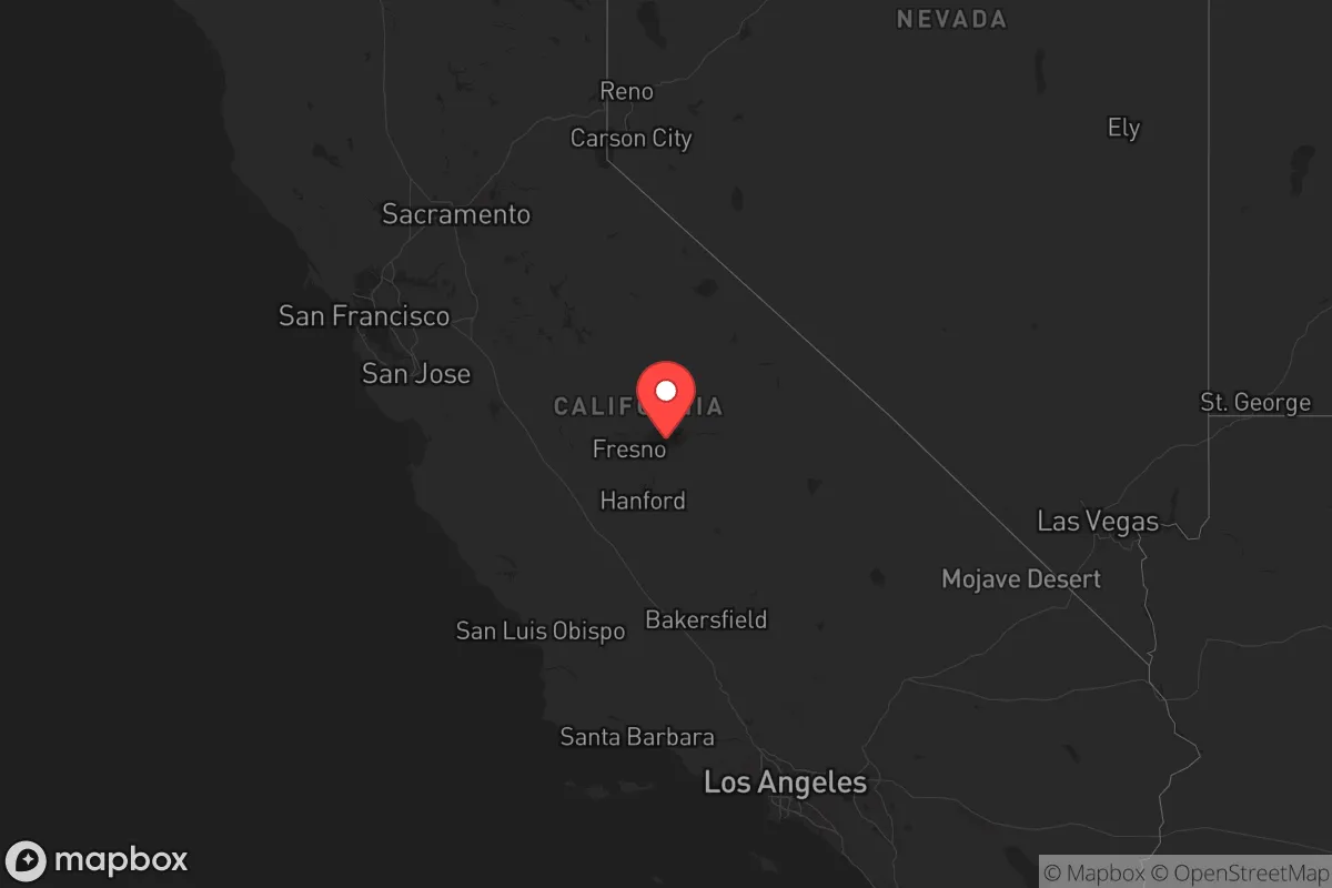
Strategic Assessment of California
Multiple tactical vulnerabilities. Population density, target proximity, or disaster risk are likely compounding. A retreat property and exit planning is required.
What does the Strategic Assessment tell us?
Our Strategic Assessment grades tactical survivability of an area. Major population centers, military targets, fallout zones, natural disasters, and border exposure all drive risk — lower exposure means a more defensible position in a crisis.
This is heavily inspired by Joel Skousen's Strategic Relocation book. Highly recommended you checkout the book ($)What does this tell us?
Our Strategic Assessment grades tactical survivability of an area. Major population centers, military targets, fallout zones, natural disasters, and border exposure all drive risk — lower exposure means a more defensible position in a crisis.
This is heavily inspired by Joel Skousen's Strategic Relocation book. Highly recommended you checkout the book ($)Regional Safe Places
Below is our recommended "safe zones" in California and the surrounding area based on our strategic heuristics. For most people, it's unrealistic to live in a “safe zone” full-time due to work, family or other personal reasons. They tend to be more rural. However, many of these areas are perfect for second homes and retreat properties that double as a vacation home or even a short-term rental.




Important Note: For informational purposes only. This does not mean nothing bad ever happens in the green zones. Please use common sense. This is based on public data and modeled with AI. We tried to take a conservative approach but mistakes happen. We update this regularly as new information becomes available.
Solar Generator Recommendations
Backup power matters more here than in safer locations. We've picked three solar generators across budgets and capacity tiers — start with the budget unit if you only need a few essentials, or step up if you want to run a fridge and HVAC for days at a time.

Jackery Portable Power Station Explorer 300
Budget OptionPower on the Go: Weighing only 11 lbs, it's convenient to set up and store with book-sized foldable solar panels

BLUETTI Portable Power Station AC180
Designed for both indoor and outdoor scenarios, AC180 is highly capable as it has a robost capacity and continuous output power.

EF ECOFLOW DELTA Pro Ultra Power Station
Upgraded PickEcoFlow DELTA Pro Ultra is a whole-home energy system designed to grow with your family. Integrated with the Smart Home Panel 2, it scales to meet your evolving energy needs — keeping your home powered, intelligent, and secure through every stage of life.
We earn a commission, at no additional cost to you.
Strategic Assessment Analysis
California presents a paradox for the strategic relocator: immense natural wealth and geographic diversity paired with extreme exposure to both natural and man-made risks. While the state’s coastal and inland regions offer some of the most defensible terrain and agricultural self-sufficiency in the lower 48, its dense urban corridors, critical infrastructure, and high-value military and industrial targets create a complex risk profile. For a conservative-leaning individual or family prioritizing disaster readiness and self-sufficiency, California demands a highly selective approach—certain areas offer genuine resilience, while others are among the most vulnerable in the nation.
Geographic position and natural advantages for long-term resilience
California’s sheer size and topographic diversity provide a rare mix of strategic assets. The Sierra Nevada mountain range acts as a natural barrier and water reservoir, with snowpack feeding the state’s major river systems. The Central Valley—stretching from Redding to Bakersfield—is one of the most productive agricultural regions on Earth, capable of supplying a wide range of food staples year-round. For a relocator, the eastern Sierra foothills (e.g., areas around Placerville or Grass Valley) offer defensible terrain, reliable water from snowmelt, and relative isolation from coastal population centers. The state’s long coastline provides access to maritime resources and trade, though this is a double-edged sword given the concentration of ports and refineries. The Mojave Desert in the southeast offers extreme isolation and low population density, but at the cost of water scarcity and extreme heat. Overall, the state’s interior regions—particularly the northern Sacramento Valley and the Sierra Nevada foothills—provide a combination of defensible geography, water access, and agricultural potential that is hard to match elsewhere in the contiguous U.S.
Risks, exposures, and proximity to fallout-relevant landmarks
California’s risk profile is dominated by two categories: natural disasters and high-value man-made targets. The state is prone to earthquakes along the San Andreas Fault system, with major urban centers like Los Angeles and San Francisco sitting directly in high-risk zones. Wildfire risk is severe across much of the state, particularly in the Sierra Nevada foothills and coastal ranges—areas that might otherwise be attractive for their isolation. For a relocator concerned with man-made risks, California is a dense target environment. The state hosts Naval Base San Diego, Vandenberg Space Force Base, and Edwards Air Force Base, all of which are high-value military assets. The Port of Los Angeles and Port of Long Beach together handle roughly 40% of all U.S. container imports, making them critical infrastructure nodes. The Richmond Refinery and Wilmington Refinery are among the largest in the West. Proximity to any of these sites—within 50 miles—significantly elevates risk in a major conflict or terrorist scenario. The state’s electrical grid is also fragile, with Public Safety Power Shutoffs (PSPS) becoming routine during high-wind events, and the Diablo Canyon Nuclear Power Plant near San Luis Obispo remains a potential target. For a relocator, avoiding the coastal corridor from San Diego to San Francisco, as well as the Central Valley’s major transportation hubs (e.g., Stockton and Fresno), is prudent.
Practical resilience for a relocator: food, water, energy, and defensibility
California’s practical resilience is highly location-dependent. In terms of food, the Central Valley and coastal valleys offer year-round growing seasons, with access to fresh produce, nuts, and livestock. However, water is the state’s Achilles’ heel. The State Water Project and Central Valley Project deliver water from the Sierra snowpack to millions of residents and farms, but these systems are vulnerable to drought, earthquake damage, and infrastructure failure. For a relocator, securing a property with a private well and a reliable groundwater source is critical—areas like Shasta County or Trinity County in the far north have more abundant water than the southern half of the state. Energy resilience is mixed: California leads in solar and wind generation, but the grid is strained and prone to outages. Off-grid solar with battery storage is a viable option in most inland areas, and natural gas is widely available in suburban and rural zones. Defensibility varies dramatically. The Sierra Nevada foothills offer natural chokepoints, elevation advantages, and limited road access, making them attractive for a retreat. In contrast, the Central Valley’s flat, open terrain and dense agricultural infrastructure offer little natural defense. Coastal areas are vulnerable to both naval threats and tsunami risk. For a relocator, the ideal property is in a rural, elevated area with a private water source, good solar exposure, and at least 20 miles of distance from any major highway, military base, or industrial complex.
The overall strategic picture for California is one of high potential reward paired with high risk. The state’s interior regions—particularly the northern Sierra Nevada foothills and the far northern counties—offer some of the best defensible terrain and agricultural self-sufficiency in the country. However, the state’s dense urban corridors, critical infrastructure, and vulnerability to natural disasters mean that a relocator must be extremely selective. For a conservative-leaning individual or family willing to invest in off-grid infrastructure and accept a degree of isolation, California can be a viable long-term option. But for those prioritizing low-risk, low-maintenance resilience, states like Idaho, Montana, or Tennessee may offer a more straightforward path. California is not a beginner’s choice—it is a high-stakes, high-reward environment for the prepared and the patient.

Top 10 Cities by Strategic Assessment in California
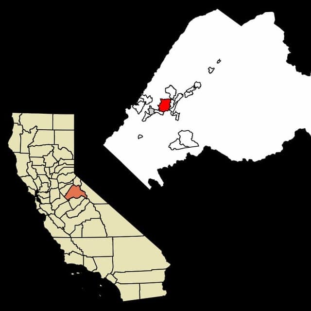
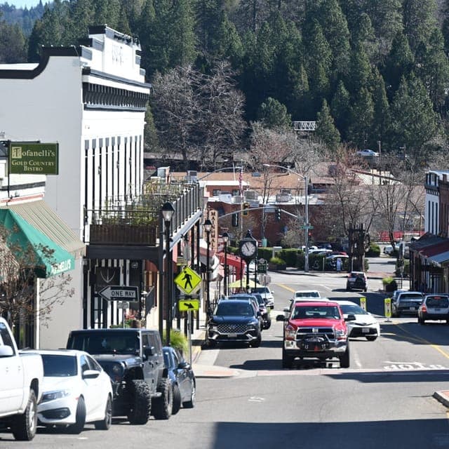

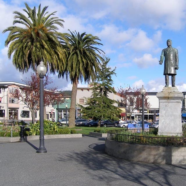
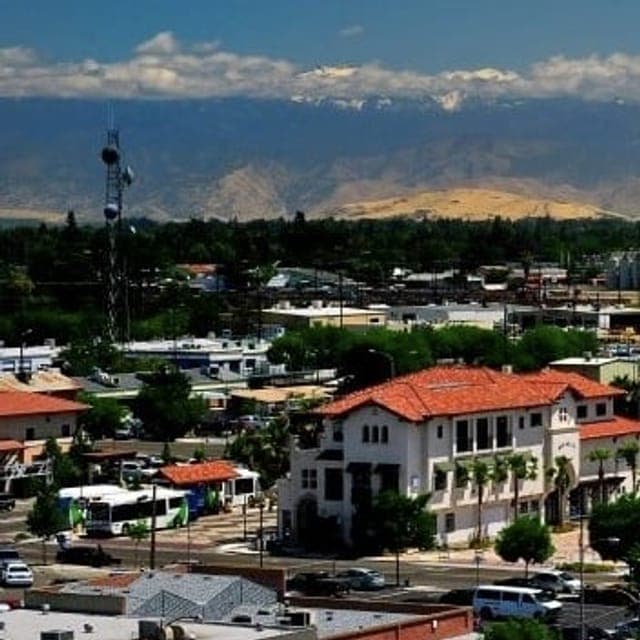
* Values derived from national, state, county, city and local statistics and may differ in a specific area. Last updated: 2026-08-03T15:48:32.000Z
Narrative content on this page is AI-generated and may contain mistakes. Verify any details that matter before acting on them.
ReloMaps may earn a commission from affiliate links at no extra cost to you.

