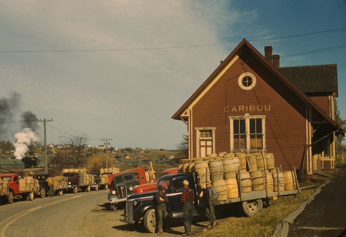
Photo: Wikipedia
Strategic Assessment of Caribou, ME
Meaningful friction. Expect exposure to either population pressure, blast zones, or natural disaster risk. Consider buying a retreat property.
What does the Strategic Assessment tell us?
Our Strategic Assessment grades tactical survivability of an area. Major population centers, military targets, fallout zones, natural disasters, and border exposure all drive risk — lower exposure means a more defensible position in a crisis.
This is heavily inspired by Joel Skousen's Strategic Relocation book. Highly recommended you checkout the book ($)What does this tell us?
Our Strategic Assessment grades tactical survivability of an area. Major population centers, military targets, fallout zones, natural disasters, and border exposure all drive risk — lower exposure means a more defensible position in a crisis.
This is heavily inspired by Joel Skousen's Strategic Relocation book. Highly recommended you checkout the book ($)Strategic Pillars

Key Distances
Regional Safe Places
Below is our recommended "safe zones" in Maine and the surrounding area based on our strategic heuristics. For most people, it's unrealistic to live in a “safe zone” full-time due to work, family or other personal reasons. They tend to be more rural. However, many of these areas are perfect for second homes and retreat properties that double as a vacation home or even a short-term rental.


Important Note: For informational purposes only. This does not mean nothing bad ever happens in the green zones. Please use common sense. This is based on public data and modeled with AI. We tried to take a conservative approach but mistakes happen. We update this regularly as new information becomes available.
Solar Generator Recommendations
Backup power matters more here than in safer locations. We've picked three solar generators across budgets and capacity tiers — start with the budget unit if you only need a few essentials, or step up if you want to run a fridge and HVAC for days at a time.

Jackery Portable Power Station Explorer 300
Budget OptionPower on the Go: Weighing only 11 lbs, it's convenient to set up and store with book-sized foldable solar panels

BLUETTI Portable Power Station AC180
Designed for both indoor and outdoor scenarios, AC180 is highly capable as it has a robost capacity and continuous output power.

EF ECOFLOW DELTA Pro Ultra Power Station
Upgraded PickEcoFlow DELTA Pro Ultra is a whole-home energy system designed to grow with your family. Integrated with the Smart Home Panel 2, it scales to meet your evolving energy needs — keeping your home powered, intelligent, and secure through every stage of life.
We earn a commission, at no additional cost to you.
Strategic Assessment Analysis
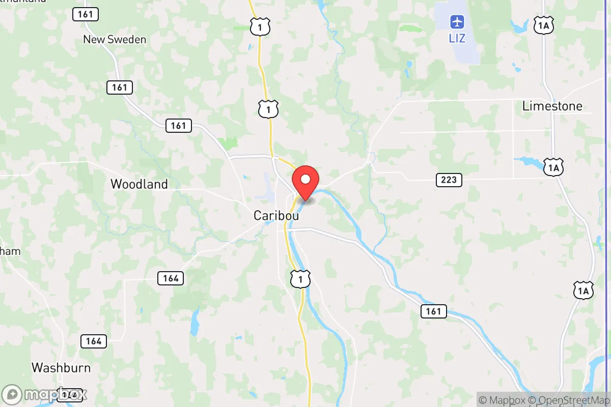
Caribou, Maine, sits as one of the most strategically resilient locations in the lower 48 for those prioritizing distance from population centers, fallout zones, and the fragility of modern supply chains. Its position in Aroostook County—often called "The Crown of Maine"—offers a combination of geographic isolation, abundant natural resources, and a low-key population that makes it a serious candidate for anyone planning for civic unrest, economic collapse, or large-scale disasters. While it’s not without trade-offs, the calculus here leans heavily toward survivability and self-sufficiency, especially when compared to the dense, target-rich environments of the Northeast Corridor.
Geographic isolation and natural buffer zones
Caribou’s primary strategic advantage is its sheer distance from major metropolitan areas. It sits roughly 150 miles north of Bangor, the nearest city of any size, and over 300 miles from Boston. This buffer is not just a matter of miles—it’s a matter of terrain and road network. The area is surrounded by vast tracts of working forest, farmland, and the St. John River valley, creating a natural choke point for any large-scale movement of people or resources. The Canadian border lies just 10 miles to the north and east, offering a potential secondary egress route into New Brunswick, though that also introduces its own set of considerations regarding border closures during crises. The region’s low population density—Aroostook County has about 67,000 people spread over 6,800 square miles—means that in a collapse scenario, you’re not competing with millions for the same local food, water, or fuel. The climate is harsh, with long winters and deep snow, but that same climate acts as a natural filter: only those truly committed to self-reliance will stay.
Risks, exposure, and proximity to fallout-relevant landmarks
No location is risk-free, and Caribou has specific vulnerabilities that a strategic relocator must weigh. The most obvious is its proximity to Loring Air Force Base, a decommissioned Strategic Air Command base located about 15 miles south in Limestone. While the base is no longer active, its legacy as a former nuclear weapons storage site means the area has been surveyed and remediated, but the psychological and historical weight remains. More pressing is the Point Lepreau Nuclear Generating Station in New Brunswick, roughly 100 miles east-southeast. A catastrophic failure there, while unlikely, could put Caribou downwind depending on weather patterns. Additionally, the city lies within a few hundred miles of major Canadian population centers like Montreal and Quebec City, which could become sources of refugee flow or supply chain disruption during a continental crisis. The Houlton border crossing, about 50 miles south, is a primary land port of entry; in a pandemic or civil unrest scenario, that crossing could be sealed, cutting off one of the few road links to the rest of the U.S. The area’s reliance on a single major highway—U.S. Route 1—for ground transport is a double-edged sword: it limits access for outsiders but also creates a single point of failure for resupply.
Practical resilience: food, water, energy, and defensibility
For the prepper or survivalist, Caribou offers a strong baseline for long-term self-sufficiency. Water is abundant: the Aroostook River runs through town, and groundwater is generally accessible via shallow wells. The region’s agricultural heritage means that local food production is viable, with potato farming dominating the landscape. A relocator with land can grow vegetables, raise livestock, and tap into maple syrup production for caloric density and trade goods. Heating is the critical challenge—winter temperatures regularly drop below -20°F, and reliance on propane or heating oil is a vulnerability. Wood heat is the most resilient option, and the surrounding forests provide ample fuel, but it requires significant labor and storage. Electricity comes from the grid, which is fed by a mix of hydro, natural gas, and wind; a grid-down scenario in winter would be life-threatening within hours without backup generation and a wood stove. Defensibility is high due to low population density and the ability to control access points on rural roads. The local culture is one of self-reliance and mutual aid—neighbors help neighbors, but outsiders are viewed with a healthy skepticism. Law enforcement presence is thin, so personal security and community trust are paramount. The nearest major hospital is in Presque Isle, 12 miles south, which is adequate for routine care but not for trauma; a serious injury could mean a medevac to Bangor or even Boston.
The overall strategic picture for a conservative relocator
Caribou is not a retreat for those seeking comfort or convenience—it’s a hard, northern outpost that rewards preparation and grit. For a conservative-leaning individual or family looking to escape the political and social instability of coastal cities, the trade-offs are clear: you trade access to amenities, healthcare, and warm weather for isolation, natural resources, and a community that largely shares your values of self-reliance and personal responsibility. The area’s economy is fragile, with a shrinking population and limited job opportunities outside of agriculture, healthcare, and government. But if your primary goal is to be positioned for long-term survival in a degraded national scenario—whether from economic collapse, civil unrest, or a major disaster—Caribou offers one of the few places in the eastern U.S. where you can realistically achieve a semi-independent existence. The key is to arrive with your skills, supplies, and a plan for winter, because the land will provide, but it will not coddle you. This is a place where preparation meets reality, and for those who can handle the cold and the quiet, it’s a strong strategic bet.
* Values derived from national, state, county, city and local statistics and may differ in a specific area. Last updated: 2026-04-22T22:23:04.000Z
Narrative content on this page is AI-generated and may contain mistakes. Verify any details that matter before acting on them.
ReloMaps may earn a commission from affiliate links at no extra cost to you.