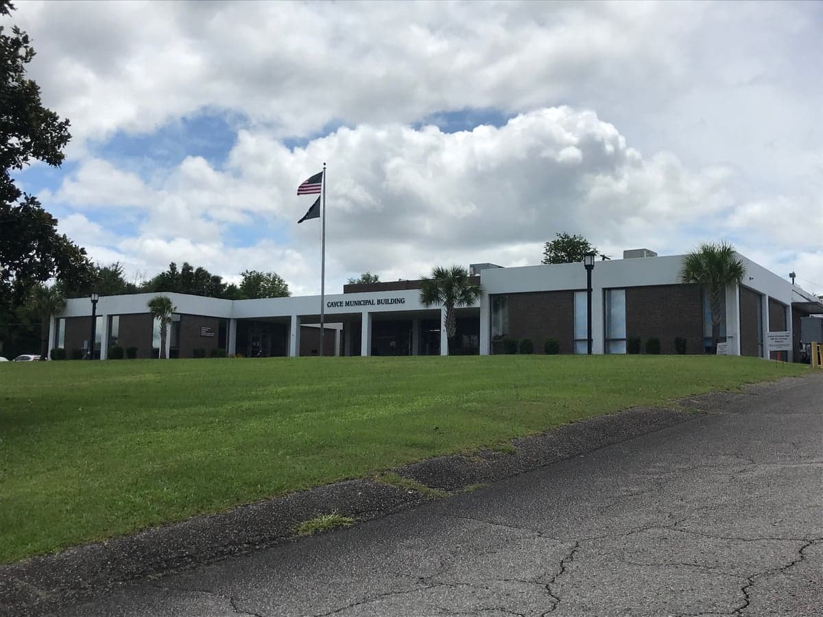
Photo: Wikipedia
Strategic Assessment of Cayce, SC
Meaningful friction. Expect exposure to either population pressure, blast zones, or natural disaster risk. Consider buying a retreat property.
What does the Strategic Assessment tell us?
Our Strategic Assessment grades tactical survivability of an area. Major population centers, military targets, fallout zones, natural disasters, and border exposure all drive risk — lower exposure means a more defensible position in a crisis.
This is heavily inspired by Joel Skousen's Strategic Relocation book. Highly recommended you checkout the book ($)What does this tell us?
Our Strategic Assessment grades tactical survivability of an area. Major population centers, military targets, fallout zones, natural disasters, and border exposure all drive risk — lower exposure means a more defensible position in a crisis.
This is heavily inspired by Joel Skousen's Strategic Relocation book. Highly recommended you checkout the book ($)Strategic Pillars

Key Distances
Regional Safe Places
Below is our recommended "safe zones" in South Carolina and the surrounding area based on our strategic heuristics. For most people, it's unrealistic to live in a “safe zone” full-time due to work, family or other personal reasons. They tend to be more rural. However, many of these areas are perfect for second homes and retreat properties that double as a vacation home or even a short-term rental.


Important Note: For informational purposes only. This does not mean nothing bad ever happens in the green zones. Please use common sense. This is based on public data and modeled with AI. We tried to take a conservative approach but mistakes happen. We update this regularly as new information becomes available.
Solar Generator Recommendations
Backup power matters more here than in safer locations. We've picked three solar generators across budgets and capacity tiers — start with the budget unit if you only need a few essentials, or step up if you want to run a fridge and HVAC for days at a time.

Jackery Portable Power Station Explorer 300
Budget OptionPower on the Go: Weighing only 11 lbs, it's convenient to set up and store with book-sized foldable solar panels

BLUETTI Portable Power Station AC180
Designed for both indoor and outdoor scenarios, AC180 is highly capable as it has a robost capacity and continuous output power.

EF ECOFLOW DELTA Pro Ultra Power Station
Upgraded PickEcoFlow DELTA Pro Ultra is a whole-home energy system designed to grow with your family. Integrated with the Smart Home Panel 2, it scales to meet your evolving energy needs — keeping your home powered, intelligent, and secure through every stage of life.
We earn a commission, at no additional cost to you.
Strategic Assessment Analysis
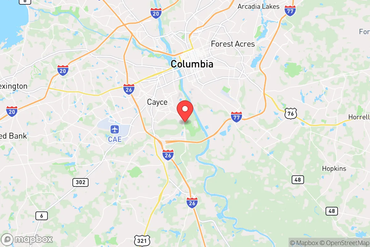
Cayce, South Carolina, sits in a precarious but potentially advantageous position for those thinking long-term about resilience and relocation. Its proximity to Columbia, the state capital, offers a double-edged sword: access to infrastructure and medical resources, but also exposure to the chaos that can accompany a major urban center during a crisis. For the prepper or survivalist, Cayce’s real value lies in its location along the Congaree River and its position relative to major transportation corridors, which can be both a lifeline and a liability. The area’s moderate climate and relatively low population density compared to the Northeast or West Coast make it a candidate for a strategic base, but only if you understand the specific risks and plan accordingly.
Geographic position and natural advantages for long-term survival
Cayce’s geography is defined by its place in the Midlands of South Carolina, roughly 100 miles from the Atlantic coast and 80 miles from the Blue Ridge foothills. This inland position offers a buffer against the most destructive hurricane storm surges, though the area is not immune to tropical systems. The Congaree River, which forms the southern boundary of Cayce, provides a reliable surface water source—critical for any off-grid water plan. The surrounding terrain is mostly flat to gently rolling, with mixed pine and hardwood forests that offer cover and potential foraging. The climate is humid subtropical, with hot summers and mild winters, meaning a freeze is rarely a life-threatening event. For a relocator, this means a longer growing season for food production and less strain on heating fuel reserves. The area’s natural advantages are modest but real: ample rainfall (averaging 45-50 inches annually), a long growing season (roughly 220 days), and proximity to the Sumter National Forest and Congaree National Park, which provide remote buffer zones and potential retreat areas. However, the land is not defensible in a tactical sense—no hills, no chokepoints—so security would rely on community and prepared positions rather than terrain.
Risks, exposures, and proximity to fallout-relevant landmarks
The most significant risk for Cayce is its proximity to Columbia, a city of roughly 140,000 people (metro area over 800,000). In a scenario of civil unrest, mass casualty events, or a breakdown of order, Columbia would likely become a source of looting, refugee flows, and resource competition. Cayce is essentially a suburb of Columbia, connected by major highways like I-26, I-77, and I-20. These roads are evacuation routes for coastal populations during hurricanes, meaning they could become clogged or dangerous during a crisis. The city also sits near the Columbia Metropolitan Airport and the Fort Jackson Army base, a major training installation. Fort Jackson is a double-edged sword: it could be a source of military order and supplies, or it could become a target for adversaries and a magnet for desperate civilians. Additionally, the Savannah River Site, a nuclear facility about 70 miles southwest, is a potential fallout hazard in the event of a terrorist attack or accident. While the prevailing winds generally blow from the west, a release could still affect Cayce depending on weather patterns. The presence of multiple chemical plants and rail lines carrying hazardous materials through the region adds another layer of risk. For the prepper, these are not deal-breakers, but they demand a plan: a bug-out location further into the rural Midlands or Upstate, and a cache of supplies that doesn’t rely on the local grid.
Practical resilience for a relocator: food, water, energy, and defensibility
For a relocator serious about self-sufficiency, Cayce offers a mixed bag. Water is the strongest asset: the Congaree River is a perennial source, and the area’s high water table means shallow wells are feasible in many parts. However, municipal water in Cayce comes from the Columbia system, which is vulnerable to contamination and power outages. A prepper should plan for a well or a rainwater catchment system with filtration. Food production is viable: the soil is sandy loam in many areas, requiring amendment but capable of supporting gardens, fruit trees, and small livestock. Local zoning is generally lenient in the more rural parts of Cayce, but within city limits, chickens and goats may be restricted—check the specific parcel. Energy resilience is a weak point. The grid in the Southeast is aging and prone to outages from storms, ice, and heat waves. Solar is a solid option given the region’s sun exposure, but battery storage is essential due to frequent cloud cover. Natural gas is available in many neighborhoods, which can be used for backup generation. Defensibility is the hardest challenge. Cayce is flat and open, with few natural chokepoints. A rural property on the outskirts, with a long driveway and good sightlines, is preferable to a suburban cul-de-sac. The local law enforcement presence is adequate for normal times, but during a breakdown, you are largely on your own. Building a network of like-minded neighbors is not optional—it’s the only realistic defense against a determined group.
The overall strategic picture for Cayce is one of calculated trade-offs. It is not a remote mountain redoubt, nor is it a high-risk urban core. It sits in a middle zone that could work well for someone who wants access to medical care, supply runs, and a job market (the Columbia area has a diverse economy with government, healthcare, and manufacturing) while maintaining a prepared household. The key is to treat Cayce as a base of operations, not a final retreat. Have a plan to relocate inland or to a rural property if the situation deteriorates. Stockpile supplies for at least 90 days, including water filtration, medical kits, and ammunition. Establish relationships with local farmers and gun clubs. The area’s biggest advantage is its anonymity—it’s not a known prepper hub, which means less scrutiny and less competition for resources. But that anonymity also means you’ll need to be self-reliant. If you can handle the humidity, the flat terrain, and the proximity to a mid-sized city, Cayce offers a viable, low-profile option for a strategic relocation. Just don’t expect the terrain to do the work for you.
* Values derived from national, state, county, city and local statistics and may differ in a specific area. Last updated: 2026-04-30T02:17:30.000Z
Narrative content on this page is AI-generated and may contain mistakes. Verify any details that matter before acting on them.
ReloMaps may earn a commission from affiliate links at no extra cost to you.