Photo: Wikipedia
Strategic Assessment of Chubbuck, ID
Strong survivability profile. Good buffer from population centers, with manageable environmental and tactical risks.
What does the Strategic Assessment tell us?
Our Strategic Assessment grades tactical survivability of an area. Major population centers, military targets, fallout zones, natural disasters, and border exposure all drive risk — lower exposure means a more defensible position in a crisis.
This is heavily inspired by Joel Skousen's Strategic Relocation book. Highly recommended you checkout the book ($)What does this tell us?
Our Strategic Assessment grades tactical survivability of an area. Major population centers, military targets, fallout zones, natural disasters, and border exposure all drive risk — lower exposure means a more defensible position in a crisis.
This is heavily inspired by Joel Skousen's Strategic Relocation book. Highly recommended you checkout the book ($)Strategic Pillars

Key Distances
Regional Safe Places
Below is our recommended "safe zones" in Idaho and the surrounding area based on our strategic heuristics. For most people, it's unrealistic to live in a “safe zone” full-time due to work, family or other personal reasons. They tend to be more rural. However, many of these areas are perfect for second homes and retreat properties that double as a vacation home or even a short-term rental.


Important Note: For informational purposes only. This does not mean nothing bad ever happens in the green zones. Please use common sense. This is based on public data and modeled with AI. We tried to take a conservative approach but mistakes happen. We update this regularly as new information becomes available.
Solar Generator Recommendations
Backup power matters more here than in safer locations. We've picked three solar generators across budgets and capacity tiers — start with the budget unit if you only need a few essentials, or step up if you want to run a fridge and HVAC for days at a time.

Jackery Portable Power Station Explorer 300
Budget OptionPower on the Go: Weighing only 11 lbs, it's convenient to set up and store with book-sized foldable solar panels

BLUETTI Portable Power Station AC180
Designed for both indoor and outdoor scenarios, AC180 is highly capable as it has a robost capacity and continuous output power.

EF ECOFLOW DELTA Pro Ultra Power Station
Upgraded PickEcoFlow DELTA Pro Ultra is a whole-home energy system designed to grow with your family. Integrated with the Smart Home Panel 2, it scales to meet your evolving energy needs — keeping your home powered, intelligent, and secure through every stage of life.
We earn a commission, at no additional cost to you.
Strategic Assessment Analysis
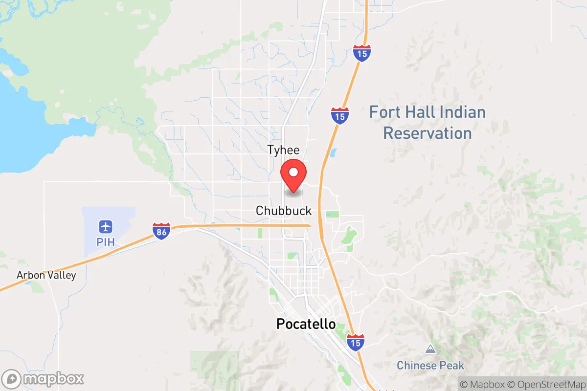
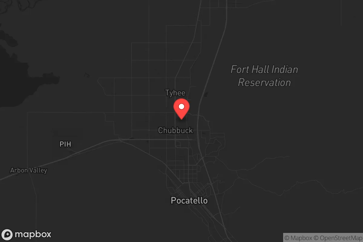
Chubbuck, Idaho, offers a compelling strategic position for those prioritizing long-term resilience and self-sufficiency, sitting just south of Pocatello in the high desert of southeastern Idaho. Its location along the I-15 corridor provides access to regional resources without the density and vulnerability of a major metropolitan hub, while the surrounding landscape—mountain ranges, the Snake River Plain, and vast public lands—creates natural buffers and escape routes. For a relocator concerned with civic unrest, mass casualty events, or systemic collapse, Chubbuck’s blend of rural isolation, agricultural infrastructure, and a politically conservative community makes it a defensible and sustainable base of operations.
Geographic position and natural advantages for long-term survival
Chubbuck sits at roughly 4,500 feet elevation on the edge of the Portneuf Valley, flanked by the Bannock Range to the west and the Portneuf Range to the east. This topography provides natural chokepoints and observation points—critical for situational awareness and perimeter defense. The area’s high desert climate means low humidity and minimal wildfire risk compared to forested regions, though winter snowpack can be significant, requiring reliable cold-weather gear and four-wheel-drive vehicles. The Snake River Plain to the south offers flat, open terrain suitable for agriculture, while the nearby Caribou-Targhee National Forest and Bureau of Land Management (BLM) lands provide hundreds of thousands of acres for hunting, foraging, and off-grid retreat. Water access is a standout advantage: the Portneuf River runs through the valley, and the Snake River Aquifer lies beneath the plain, making well drilling a viable option for independent water supply. The region’s volcanic soil is fertile for crops like potatoes, wheat, and alfalfa, and local farmers’ markets and co-ops in Pocatello and Chubbuck itself offer direct-to-consumer food sources. For a prepper, this means you can secure land with irrigation rights and be largely self-sufficient in food production within a few growing seasons.
Risks, exposures, and proximity to fallout-relevant landmarks
No location is without vulnerabilities, and Chubbuck has several that demand attention. The most immediate concern is proximity to Pocatello (population ~60,000), which sits just north of Chubbuck and includes the Portneuf Medical Center, Idaho State University, and a major Union Pacific rail yard. In a mass casualty event or civil unrest scenario, Pocatello could become a source of looting, refugee flow, or infrastructure failure. The I-15 corridor itself is a double-edged sword: it enables supply movement but also funnels displaced populations from larger cities like Idaho Falls (50 miles north) and Salt Lake City (160 miles south). The Idaho National Laboratory (INL), about 60 miles west near Arco, is a major nuclear research facility—while not a commercial reactor, it handles radioactive materials and could be a target in a conflict or a source of contamination in a disaster. The nearby Mountain Home Air Force Base (130 miles southwest) adds another layer of military-target risk. On the natural disaster front, the region sits in a seismically active zone; the 1983 Borah Peak earthquake (magnitude 6.9) occurred just 100 miles northwest, and the Wasatch Fault to the south poses a long-term threat. Flooding along the Portneuf River is possible during rapid snowmelt, though modern levees mitigate most risk. For a strategic relocator, these exposures mean you need a bug-out plan that heads east into the mountains or south toward the Utah border, not north toward Pocatello or west toward INL.
Practical resilience for a relocator: food, water, energy, and defensibility
Chubbuck’s practical resilience hinges on its agricultural base and low population density. The surrounding Bannock County has over 1,100 farms covering 1.2 million acres, with a strong focus on potatoes, barley, and livestock. This means local food production is robust, and you can source bulk grains, seeds, and livestock feed directly from producers. Water rights are a critical consideration: the area uses a prior-appropriation system, so purchasing land with senior water rights or a well permit is essential for long-term independence. The Snake River Aquifer is deep but reliable, and many rural properties already have wells. For energy, Idaho Power provides grid electricity, but the region’s high solar insolation (over 200 sunny days per year) makes off-grid solar viable, especially with battery storage for winter months. Natural gas is available in town, but propane tanks are common for rural homes—stockpiling fuel is wise. Defensibility is strong: Chubbuck’s layout is a mix of suburban subdivisions and rural acreages, with the latter offering setback distances of 100 yards or more from roads. The surrounding mountains provide natural cover and escape routes, and the local sheriff’s office is well-funded and conservative-leaning, with a reputation for rapid response in rural areas. For community resilience, the area has a strong Mormon (LDS) presence, which means organized emergency preparedness networks, food storage programs, and mutual-aid practices. If you’re not LDS, integrating through local prepper groups or gun clubs (there are several in Pocatello) is straightforward—the culture is self-reliant and welcoming to like-minded individuals.
Overall, Chubbuck presents a balanced strategic picture for the survivalist or prepper. Its strengths—abundant water, fertile soil, low population density, and a conservative, self-sufficient community—outweigh its risks, provided you account for the proximity to Pocatello and the INL. The key is to secure land with water rights east or south of town, away from the I-15 corridor, and to build a network with local farmers and preppers before any crisis hits. For a single individual or family looking to weather systemic instability, Chubbuck offers a solid foundation with room to grow, hunt, and defend. It’s not a perfect fortress, but in a world of increasing uncertainty, it’s a damn good place to dig in.
* Values derived from national, state, county, city and local statistics and may differ in a specific area. Last updated: 2026-05-03T20:23:39.000Z
Narrative content on this page is AI-generated and may contain mistakes. Verify any details that matter before acting on them.
ReloMaps may earn a commission from affiliate links at no extra cost to you.