Strategic Assessment of Colstrip, MT
Strong survivability profile. Good buffer from population centers, with manageable environmental and tactical risks.
What does the Strategic Assessment tell us?
Our Strategic Assessment grades tactical survivability of an area. Major population centers, military targets, fallout zones, natural disasters, and border exposure all drive risk — lower exposure means a more defensible position in a crisis.
This is heavily inspired by Joel Skousen's Strategic Relocation book. Highly recommended you checkout the book ($)What does this tell us?
Our Strategic Assessment grades tactical survivability of an area. Major population centers, military targets, fallout zones, natural disasters, and border exposure all drive risk — lower exposure means a more defensible position in a crisis.
This is heavily inspired by Joel Skousen's Strategic Relocation book. Highly recommended you checkout the book ($)Strategic Pillars

Key Distances
Regional Safe Places
Below is our recommended "safe zones" in Montana and the surrounding area based on our strategic heuristics. For most people, it's unrealistic to live in a “safe zone” full-time due to work, family or other personal reasons. They tend to be more rural. However, many of these areas are perfect for second homes and retreat properties that double as a vacation home or even a short-term rental.
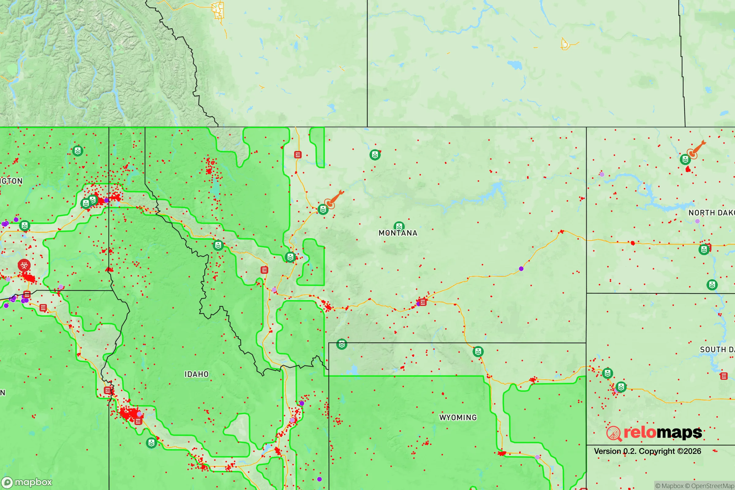

Important Note: For informational purposes only. This does not mean nothing bad ever happens in the green zones. Please use common sense. This is based on public data and modeled with AI. We tried to take a conservative approach but mistakes happen. We update this regularly as new information becomes available.
Solar Generator Recommendations
Backup power matters more here than in safer locations. We've picked three solar generators across budgets and capacity tiers — start with the budget unit if you only need a few essentials, or step up if you want to run a fridge and HVAC for days at a time.

Jackery Portable Power Station Explorer 300
Budget OptionPower on the Go: Weighing only 11 lbs, it's convenient to set up and store with book-sized foldable solar panels

BLUETTI Portable Power Station AC180
Designed for both indoor and outdoor scenarios, AC180 is highly capable as it has a robost capacity and continuous output power.

EF ECOFLOW DELTA Pro Ultra Power Station
Upgraded PickEcoFlow DELTA Pro Ultra is a whole-home energy system designed to grow with your family. Integrated with the Smart Home Panel 2, it scales to meet your evolving energy needs — keeping your home powered, intelligent, and secure through every stage of life.
We earn a commission, at no additional cost to you.
Strategic Assessment Analysis
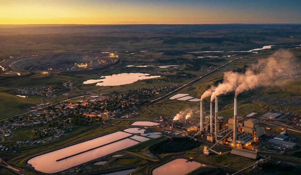
Colstrip, Montana, sits in the far southeastern corner of the state, roughly 100 miles east of Billings and 25 miles north of the Northern Cheyenne Indian Reservation. Its resilience profile is defined by extreme isolation, a harsh continental climate, and a single-industry economy centered on the Colstrip Power Plant—one of the largest coal-fired facilities in the western United States. For a relocator with a survivalist or prepper mindset, this town offers a genuine off-grid buffer from coastal collapse zones, but it also carries unique dependencies and exposure risks that demand clear-eyed assessment.
Geographic isolation and natural buffer zones
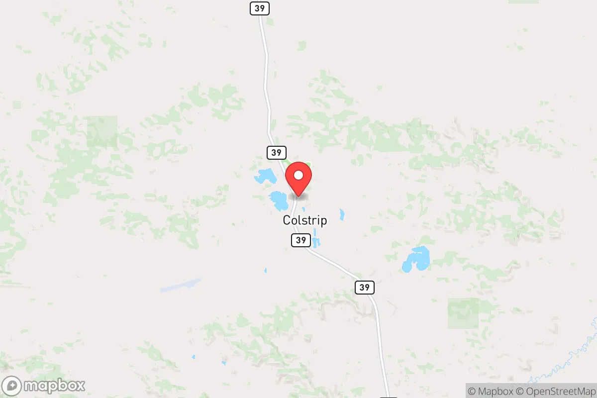
Colstrip’s primary strategic advantage is its location: it sits in the sparsely populated Powder River Basin, surrounded by rolling plains, coal seams, and cattle ranches. The nearest city of any size is Billings (population ~110,000), which is a 90-minute drive west on Montana Highway 39. To the east, the nearest significant population center is Miles City (population ~8,500), about 70 miles away. This means Colstrip is effectively a remote outpost, not a suburb or exurb of a major metro. The town itself has roughly 2,200 residents, and the surrounding county (Rosebud) has fewer than 9,000 people total. For a relocator, this low population density translates into a significant buffer against cascading failures from urban unrest, pandemic spread, or supply chain disruptions. The land is open, with few natural choke points, but the vast distances between settlements mean that any large-scale movement of people or resources would be slow and visible. The Yellowstone River, a major water source, runs about 40 miles west of town, and the area sits atop the Fort Union coal formation, which provides both energy and groundwater. However, the climate is extreme: winter lows can drop to -30°F, and summer highs exceed 100°F. The growing season is short (about 120 days), making large-scale subsistence farming difficult without significant infrastructure investment.
Risks, exposures, and proximity to fallout-relevant landmarks
The most significant risk in Colstrip is its own power plant. The Colstrip Steam Electric Station is a 2,094-megawatt coal plant that has been operating since the 1970s. It is a major industrial target in any conflict scenario—whether from cyberattack, sabotage, or conventional strike. The plant’s cooling towers and coal ash ponds are visible from miles away, and its transmission lines run west to Billings and east into the Dakotas. A catastrophic failure at the plant (e.g., a coal dust explosion, a structural collapse, or a deliberate attack) could release toxic ash, sulfur dioxide, and heavy metals into the air and groundwater. The plant also stores large quantities of ammonia for emissions control, which presents an additional chemical hazard. Beyond the plant, Colstrip is roughly 150 miles from the Minot Air Force Base in North Dakota, which houses nuclear-capable B-52 bombers and is a high-priority target in any major conflict. Fallout patterns from a strike on Minot would depend on wind direction, but prevailing westerlies could carry radioactive debris into eastern Montana within hours. The town is also within 200 miles of the Malmstrom Air Force Base in Montana, which controls Minuteman III ICBMs—another Tier 1 target. For a relocator, the proximity to these strategic military assets is a double-edged sword: it provides a deterrent against minor threats but makes the area a potential secondary target in a full-scale conflict. Additionally, the Northern Cheyenne Reservation to the south has experienced chronic infrastructure challenges, including water system failures and limited healthcare access, which could create secondary pressure on Colstrip’s resources during a regional crisis.
Practical resilience for a relocator: food, water, energy, and defensibility
Energy resilience is Colstrip’s strongest card. The power plant provides cheap, reliable electricity to the town and surrounding area, and the coal reserves are literally beneath your feet. However, this is a double-edged dependency: if the plant goes offline (due to regulatory shutdown, mechanical failure, or attack), the town has no backup generation. The local grid is not connected to any major hydro or natural gas backup. A relocator should plan for a prolonged blackout scenario with solar panels, battery storage, and a backup generator—preferably diesel or propane, since natural gas lines are sparse. Water is a more complex issue. The town’s municipal water comes from the Yellowstone River via a pipeline, but the aquifer beneath the coal fields is high in sulfates and heavy metals, making well water unreliable without treatment. A relocator should drill a deep well (200+ feet) and install a reverse osmosis system, or plan to haul water from the Yellowstone in a tanker. Food security is limited: the local grocery store (IGA) stocks basic supplies, but fresh produce is trucked in from Billings and is expensive. The growing season is too short for most vegetables without a greenhouse, and the soil is alkaline and clay-heavy. Livestock (cattle, goats, chickens) are feasible but require winter shelter and feed storage. Hunting is excellent—deer, antelope, and upland birds are abundant on public land (the Custer Gallatin National Forest is 30 miles west). Defensibility is moderate: the town is laid out on a grid with wide streets, and the surrounding terrain is open prairie with limited cover. A determined group could secure the town’s perimeter with observation posts on the high ground to the north and east, but a small family would be better off on a remote property outside town, with a clear field of fire and a buried water source. The nearest hospital is in Billings (90 minutes away), and the local clinic has limited trauma capability. For medical emergencies, a relocator should stock advanced first aid kits, antibiotics, and surgical supplies.
The overall strategic picture for Colstrip is one of high isolation, moderate self-sufficiency potential, and significant single-point-of-failure risks. It is not a bug-out location for someone who wants to disappear into the woods—it is a working-class energy town with a hardscrabble character and a community that is largely self-reliant by necessity. The conservative, blue-collar culture aligns with a prepper mindset: people here own guns, hunt, and keep livestock. But the dependency on the coal plant for both jobs and power creates a brittle system. A relocator should treat Colstrip as a base of operations, not a final redoubt—a place to build skills, store supplies, and network with like-minded locals, while maintaining the ability to relocate further west (into the mountains of central Montana) if the plant goes dark or the regional situation deteriorates. The town’s isolation is its greatest asset and its greatest liability: you are far from the chaos, but also far from help. Plan accordingly.
* Values derived from national, state, county, city and local statistics and may differ in a specific area. Last updated: 2026-04-30T06:18:26.000Z
Narrative content on this page is AI-generated and may contain mistakes. Verify any details that matter before acting on them.
ReloMaps may earn a commission from affiliate links at no extra cost to you.