
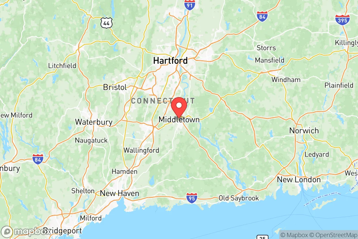
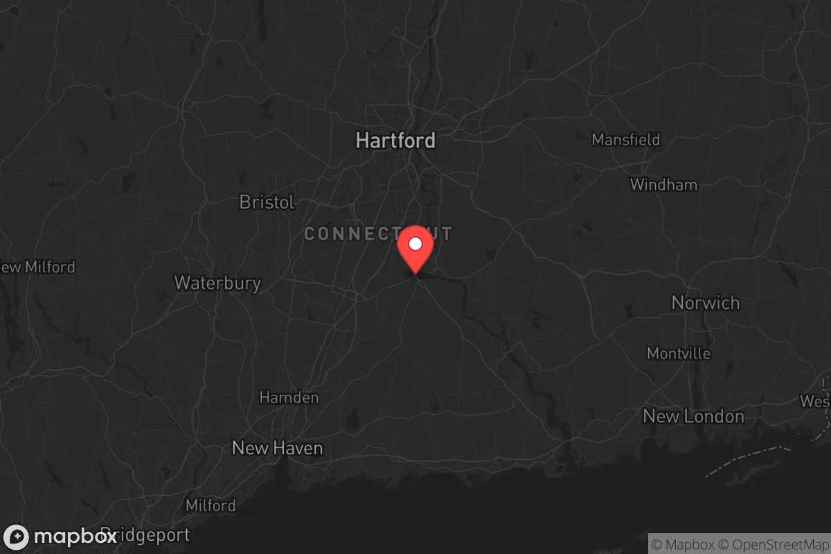
Strategic Assessment of Lower Connecticut River Valley Planning Region County
Multiple tactical vulnerabilities. Population density, target proximity, or disaster risk are likely compounding. A retreat property and exit planning is required.
What does the Strategic Assessment tell us?
Our Strategic Assessment grades tactical survivability of an area. Major population centers, military targets, fallout zones, natural disasters, and border exposure all drive risk — lower exposure means a more defensible position in a crisis.
This is heavily inspired by Joel Skousen's Strategic Relocation book. Highly recommended you checkout the book ($)What does this tell us?
Our Strategic Assessment grades tactical survivability of an area. Major population centers, military targets, fallout zones, natural disasters, and border exposure all drive risk — lower exposure means a more defensible position in a crisis.
This is heavily inspired by Joel Skousen's Strategic Relocation book. Highly recommended you checkout the book ($)Strategic Pillars

Key Distances
Strategic Assessment Analysis
The Lower Connecticut River Valley Planning Region—encompassing towns like Old Saybrook, Essex, Deep River, Chester, Haddam, and East Haddam—offers a strategic blend of geographic insulation and practical resilience that appeals to those prioritizing self-reliance and security. Its position along the Connecticut River, roughly 30 miles east of Hartford and 35 miles west of the Rhode Island border, places it outside the immediate blast and fallout zones of major urban centers while still providing access to critical infrastructure. The region’s low population density—roughly 150 people per square mile compared to Hartford’s 1,700—means fewer targets and less competition for resources during a crisis. For a relocator with a conservative, preparedness-minded outlook, this area presents a viable balance between remoteness and accessibility, though it is not without its own exposures.
Geographic position and natural advantages for long-term security
The region’s defining feature is the Connecticut River, which flows south through the valley into Long Island Sound at Old Saybrook. This waterway provides a reliable freshwater source, potential for hydropower, and a natural barrier that complicates unauthorized movement from the east or west. The surrounding terrain is a mix of rolling hills, dense hardwood forests, and tidal marshes—ideal for concealment, foraging, and small-scale agriculture. The towns of Essex and Deep River sit on the river’s west bank, with bluffs and steep slopes that offer defensible high ground. To the north, Haddam and East Haddam are bisected by the river and feature state forests like Cockaponset and Salmon River, which provide timber, game, and cover. The region’s proximity to the coast (Old Saybrook is on the Sound) means access to marine resources, but also introduces vulnerability to storm surges and naval traffic. Overall, the valley’s natural chokepoints—bridges, ferry crossings, and narrow roads—can be monitored or controlled, giving residents a tactical advantage in a grid-down scenario.
Risks, exposures, and proximity to fallout-relevant landmarks
While the Lower Connecticut River Valley avoids the direct fallout zones of major cities, it is not immune to secondary risks. The Millstone Nuclear Power Station in Waterford, just 15 miles east of Old Saybrook, is a critical concern. A catastrophic event at Millstone—whether accidental or targeted—could render large portions of the valley uninhabitable due to radioactive contamination, especially downwind. The region also lies within 50 miles of Naval Submarine Base New London in Groton, a high-value military target that could draw conventional or asymmetric attacks. Interstate 95 runs along the coast, roughly 10 miles south of Old Saybrook, and is a likely evacuation route or chokepoint during civil unrest. The Brayton Point Power Station in Somerset, Massachusetts (now a decommissioned coal plant) and the Providence-Newport industrial corridor are within 60 miles, adding to the risk of supply chain disruptions. Flooding is a persistent natural hazard—the Connecticut River has a history of spring floods, particularly in low-lying areas like Chester and Deep River, which can isolate communities and damage infrastructure. For a prepper, these exposures mean that a bug-out location or secondary cache should be planned for higher ground, ideally west of the river or in the hills of East Haddam.
Practical resilience for a relocator: food, water, energy, and defensibility
Self-sufficiency in this region is feasible but requires upfront investment. The Connecticut River and its tributaries (Salmon River, Eightmile River) provide abundant freshwater, but municipal systems are vulnerable to contamination or failure. A well with a hand pump or a rainwater catchment system is a wise addition. The area’s agricultural potential is moderate—the valley has fertile alluvial soil, but the growing season is short (roughly 150 days) and the climate is humid. Small-scale gardening, fruit orchards, and livestock (chickens, goats) are common in towns like Haddam and East Haddam, where zoning is lenient. For energy, the region has limited solar exposure due to tree cover, but micro-hydro from the river’s flow is viable for properties with water rights. Wood is abundant—most homes have fireplaces or wood stoves, and state forests allow for permitted harvesting. Defensibility is strong: the river acts as a moat, and the narrow, winding roads (Route 9A, Route 154) are easily blocked or monitored. However, the region’s reliance on a single major highway (Route 9) for north-south travel creates a vulnerability—any disruption there could trap residents. Community resilience is bolstered by a network of local farms, volunteer fire departments, and a strong hunting culture, but formal prepper networks are sparse. For a single individual or family, the key is to establish relationships with neighbors early—rural Connecticut is insular, and trust is earned slowly.
The overall strategic picture for the Lower Connecticut River Valley Planning Region is one of moderate-to-high resilience with specific, manageable vulnerabilities. It offers a defensible, resource-rich environment that is far enough from major targets to avoid immediate fallout, yet close enough to coastal and industrial assets to pose secondary risks. The Millstone nuclear plant and the Groton submarine base are the two biggest wildcards—any event there would force a rapid evacuation westward. For a conservative relocator prioritizing long-term stability, this region is a solid choice, provided you secure a property with a well, wood heat, and high ground. The towns of Essex and Deep River offer the best balance of defensibility and access, while East Haddam provides deeper seclusion. The cost of land is moderate compared to Fairfield County, but property taxes are high (roughly 2.5% of assessed value), which is a recurring expense that must be factored into any prepper budget. In short, the valley is a viable fallback position—not a fortress, but a place where a prepared individual can weather most storms, natural or man-made, with a solid plan and a good set of neighbors.
* Values derived from national, state, county, city and local statistics and may differ in a specific area. Last updated: 2026-05-08T09:54:22.000Z
Narrative content on this page is AI-generated and may contain mistakes. Verify any details that matter before acting on them.
ReloMaps may earn a commission from affiliate links at no extra cost to you.