
Photo: Wikipedia
Strategic Assessment of Cookeville, TN
Workable tactical position. Some exposure to population density or targets, but generally defensible in a crisis.
What does the Strategic Assessment tell us?
Our Strategic Assessment grades tactical survivability of an area. Major population centers, military targets, fallout zones, natural disasters, and border exposure all drive risk — lower exposure means a more defensible position in a crisis.
This is heavily inspired by Joel Skousen's Strategic Relocation book. Highly recommended you checkout the book ($)What does this tell us?
Our Strategic Assessment grades tactical survivability of an area. Major population centers, military targets, fallout zones, natural disasters, and border exposure all drive risk — lower exposure means a more defensible position in a crisis.
This is heavily inspired by Joel Skousen's Strategic Relocation book. Highly recommended you checkout the book ($)Strategic Pillars

Key Distances
Regional Safe Places
Below is our recommended "safe zones" in Tennessee and the surrounding area based on our strategic heuristics. For most people, it's unrealistic to live in a “safe zone” full-time due to work, family or other personal reasons. They tend to be more rural. However, many of these areas are perfect for second homes and retreat properties that double as a vacation home or even a short-term rental.
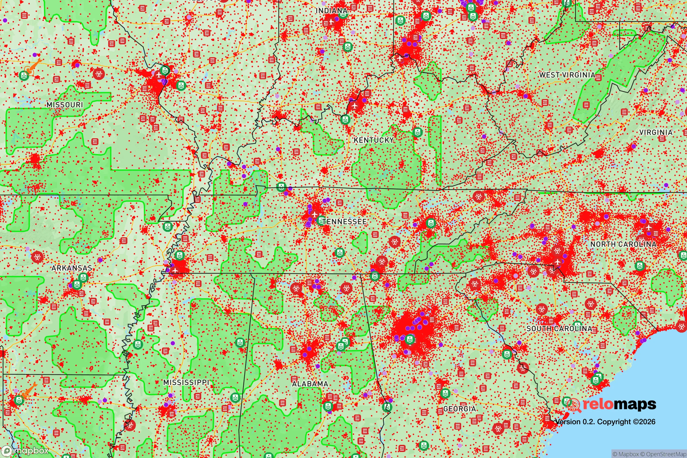
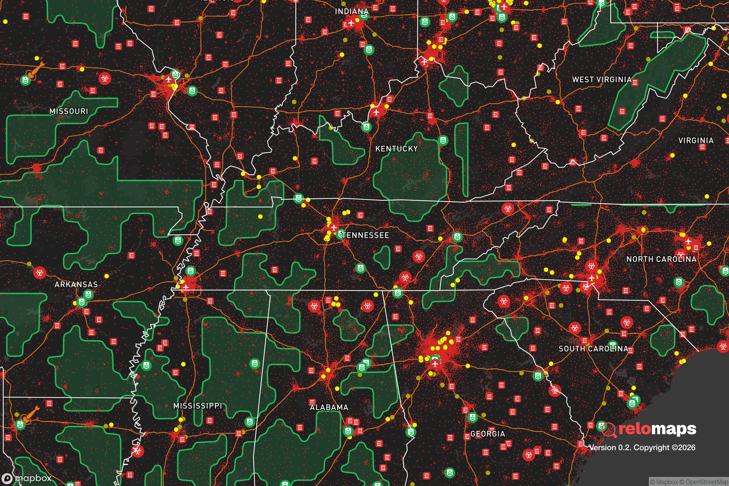
Important Note: For informational purposes only. This does not mean nothing bad ever happens in the green zones. Please use common sense. This is based on public data and modeled with AI. We tried to take a conservative approach but mistakes happen. We update this regularly as new information becomes available.
Solar Generator Recommendations
Backup power matters more here than in safer locations. We've picked three solar generators across budgets and capacity tiers — start with the budget unit if you only need a few essentials, or step up if you want to run a fridge and HVAC for days at a time.

Jackery Portable Power Station Explorer 300
Budget OptionPower on the Go: Weighing only 11 lbs, it's convenient to set up and store with book-sized foldable solar panels

BLUETTI Portable Power Station AC180
Designed for both indoor and outdoor scenarios, AC180 is highly capable as it has a robost capacity and continuous output power.

EF ECOFLOW DELTA Pro Ultra Power Station
Upgraded PickEcoFlow DELTA Pro Ultra is a whole-home energy system designed to grow with your family. Integrated with the Smart Home Panel 2, it scales to meet your evolving energy needs — keeping your home powered, intelligent, and secure through every stage of life.
We earn a commission, at no additional cost to you.
Strategic Assessment Analysis
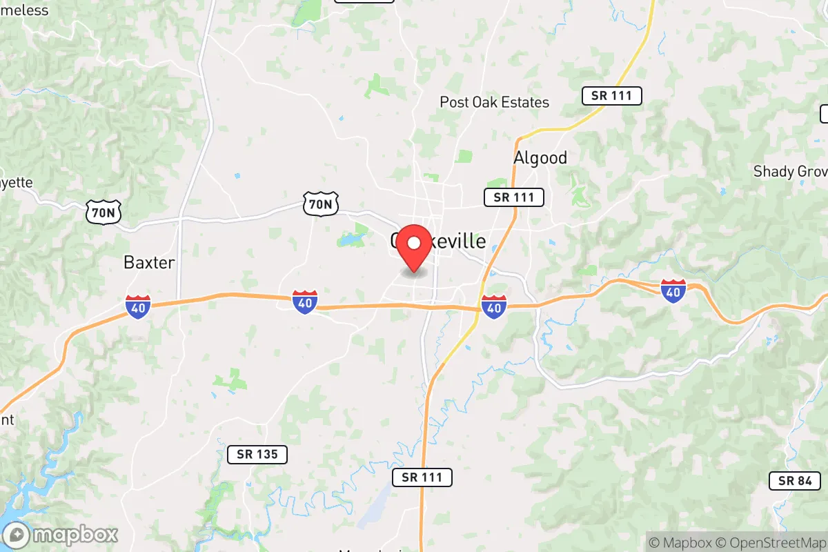
Cookeville, Tennessee, sits in a sweet spot that few relocation analysts can point to with a straight face: far enough from the major metropolitan blast zones to matter, yet close enough to supply chains and medical infrastructure to keep a family alive through a prolonged disruption. The city anchors the Upper Cumberland region, roughly equidistant from Nashville, Knoxville, and Chattanooga, which means it benefits from economic spillover without inheriting the full target profile of a major city. For someone thinking in terms of decades, not election cycles, Cookeville offers a rare combination of geographic insulation, water abundance, and a local culture that still remembers how to fix things rather than replace them.
Geographic position and natural advantages for long-term stability
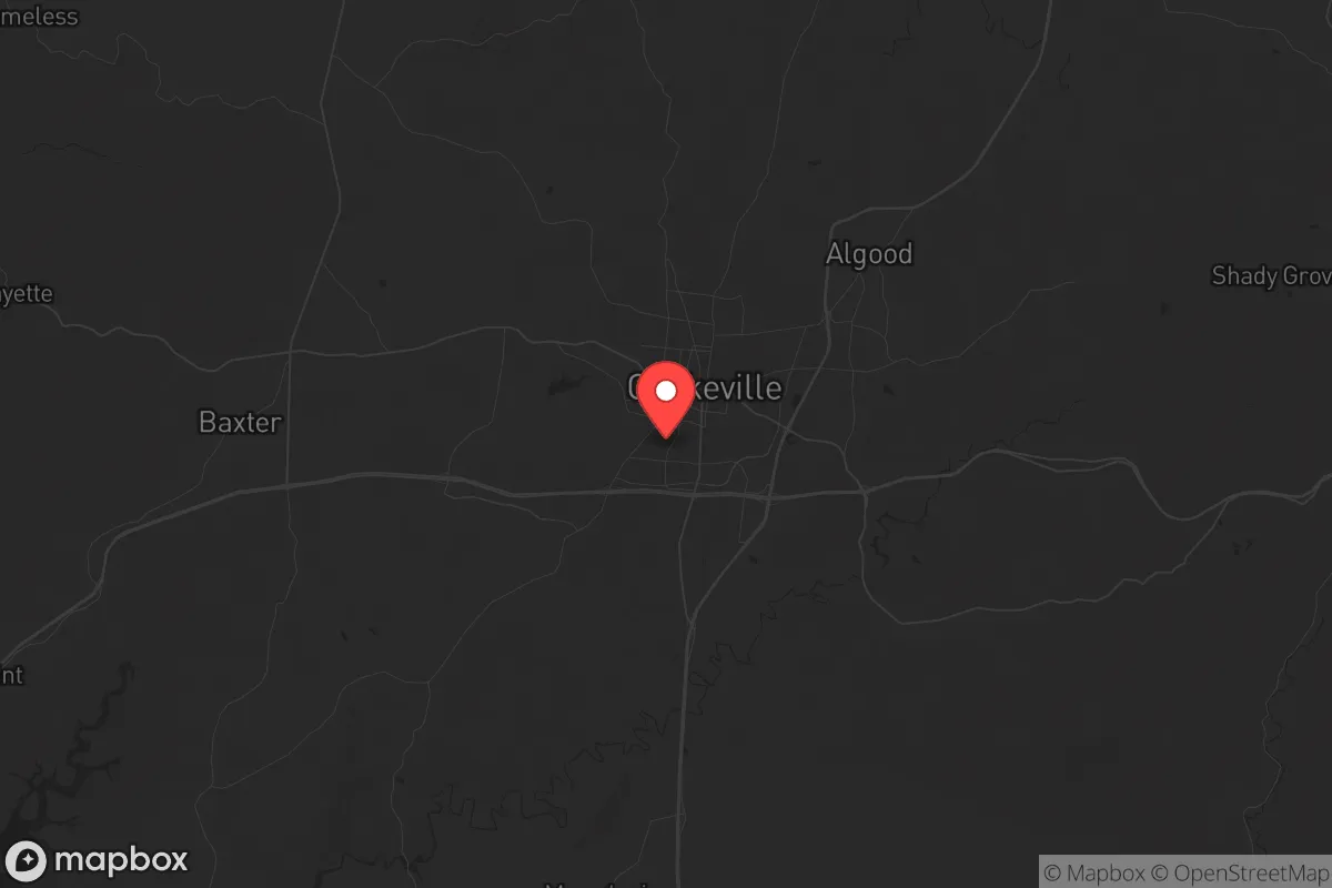
Cookeville’s location is its primary strategic asset. The city sits on the Cumberland Plateau at roughly 1,100 feet elevation, which puts it above the flood-prone river valleys that plague much of Middle Tennessee. The plateau’s limestone bedrock provides stable ground for construction and, critically, for water retention. The area receives about 54 inches of rainfall annually, and the underlying karst aquifer system means that private wells are viable across most of the surrounding Putnam County. For a relocator concerned with water independence, that is a non-negotiable advantage. The local topography also offers natural defensibility: the plateau is dissected by steep hollows and ridges, creating choke points on the major roads (I-40, US-70N, and SR-111) that would slow any large-scale movement into the area. The nearest interstate hub, Nashville, is 80 miles west—close enough for a supply run, far enough that a riot or grid collapse in Davidson County won’t spill into your driveway overnight. The same logic applies to the Oak Ridge National Laboratory complex, roughly 90 miles east. Oak Ridge is a high-value target in any conflict scenario, but Cookeville sits outside the primary fallout plume models for a ground burst at that facility, assuming prevailing westerly winds. The Cumberland River, which runs south of the city, provides a secondary water source and a potential evacuation corridor by boat if roads become impassable.
Risks, exposures, and proximity to fallout-relevant landmarks
No location is a fortress, and Cookeville has vulnerabilities that a serious prepper must account for. The most immediate risk is I-40, which bisects the city and serves as the primary east-west logistics corridor through Tennessee. In a national emergency—whether a pandemic, fuel shortage, or civil unrest—I-40 will become a chokepoint and a target. The interstate brings in the transient population, the drug traffic, and the kind of opportunistic crime that spikes when normal law enforcement is stretched thin. Cookeville’s police department is competent but small, with roughly 60 sworn officers for a city of 35,000. In a regional crisis, that force will be pulled toward the interstate and the commercial corridors, leaving residential neighborhoods to fend for themselves. The second major exposure is the proximity to the Tennessee Valley Authority’s Watts Bar Nuclear Plant, located about 45 miles south near Spring City. While not a direct fallout risk under normal conditions, a catastrophic failure or sabotage event at Watts Bar would put Cookeville within the emergency planning zone for radiological release. Prevailing winds from the south would carry a plume directly over the city. The third risk is more mundane but more probable: tornadoes. Putnam County sits in the Dixie Alley corridor, and the 2020 Easter tornado that devastated nearby Baxter and killed 19 people in Putnam County is a reminder that natural disasters here are not hypothetical. The plateau’s rolling terrain can mask approaching storms, and warning times are often shorter than in the Plains states. A basement or reinforced safe room is not optional for anyone serious about resilience in this area.
Practical resilience for a relocator: food, water, energy, and defensibility
For the individual or family looking to establish a self-sufficient foothold, Cookeville offers a workable base of operations. The local food system is robust by modern American standards. Putnam County has over 400 farms, with a strong concentration of cattle, poultry, and vegetable operations. The Cookeville Farmers Market operates year-round, and the surrounding region produces enough hay and grain to support livestock without relying on out-of-state supply chains. For a relocator with land, the growing season runs roughly 180 days, from mid-April to mid-October, which is sufficient for corn, beans, squash, and most cool-weather crops. Water access is the standout feature. The city’s municipal supply comes from the Cumberland River via the City Lake reservoir, but the real advantage is the groundwater. The karst aquifer system means that a properly drilled well on the plateau can produce 10 to 30 gallons per minute at depths of 200 to 400 feet. That is enough for a household garden, livestock, and basic sanitation without grid dependency. Energy resilience is more mixed. Cookeville is served by the Cookeville Electric Department, a municipal utility that has historically been reliable, but the grid is still part of the TVA system. A determined adversary could take out TVA transmission lines with a single well-placed shot, and the local utility has limited backup generation. Solar is viable here—the area averages 4.5 peak sun hours per day—but the tree canopy on most residential lots will require either clearing or a ground-mount system. Natural gas is available in the city limits, which is useful for heating and cooking, but propane is the standard for rural properties. Defensibility at the household level is good. The typical lot in the outlying areas is one to five acres, with enough tree cover to provide visual screening from the road. The local culture is still gun-friendly and self-reliant; the Putnam County Sheriff’s Office reports over 8,000 active handgun carry permits in the county, which is roughly one in five adults. That is not a statistic to celebrate lightly, but it does mean that in a breakdown scenario, you will not be the only armed household on your road.
The overall strategic picture for Cookeville is one of calculated trade-offs. It is not a remote bunker in the mountains—it is a functioning small city with a university (Tennessee Tech, 10,000 students), a regional medical center with a Level II trauma unit, and enough retail and logistics infrastructure to keep a family supplied during a moderate disruption. The downsides are real: the interstate corridor, the tornado risk, and the proximity to a nuclear plant that is aging and operated by a bureaucracy. But for the relocator who wants to be within a day’s drive of three major cities without living in any of them, who values water independence and a community that still knows how to can tomatoes and change its own oil, Cookeville deserves a serious look. The key is to buy land with a well and a basement, get to know your neighbors before the crisis hits, and keep a full tank of gas in the truck. The plateau will take care of the rest.
* Values derived from national, state, county, city and local statistics and may differ in a specific area. Last updated: 2026-05-01T16:02:44.000Z
Narrative content on this page is AI-generated and may contain mistakes. Verify any details that matter before acting on them.
ReloMaps may earn a commission from affiliate links at no extra cost to you.