Photo: Wikipedia
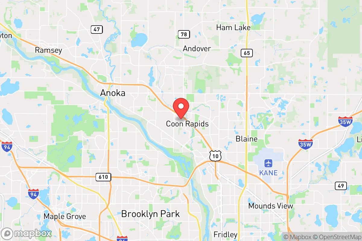
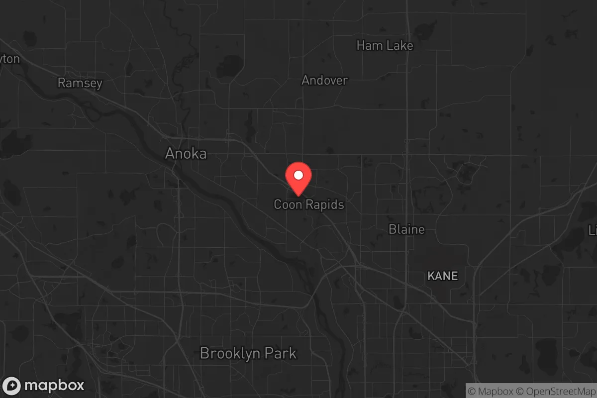
Strategic Assessment of Coon Rapids, MN
Multiple tactical vulnerabilities. Population density, target proximity, or disaster risk are likely compounding. A retreat property and exit planning is required.
What does the Strategic Assessment tell us?
Our Strategic Assessment grades tactical survivability of an area. Major population centers, military targets, fallout zones, natural disasters, and border exposure all drive risk — lower exposure means a more defensible position in a crisis.
This is heavily inspired by Joel Skousen's Strategic Relocation book. Highly recommended you checkout the book ($)What does this tell us?
Our Strategic Assessment grades tactical survivability of an area. Major population centers, military targets, fallout zones, natural disasters, and border exposure all drive risk — lower exposure means a more defensible position in a crisis.
This is heavily inspired by Joel Skousen's Strategic Relocation book. Highly recommended you checkout the book ($)Strategic Pillars

Key Distances
Regional Safe Places
Below is our recommended "safe zones" in Minnesota and the surrounding area based on our strategic heuristics. For most people, it's unrealistic to live in a “safe zone” full-time due to work, family or other personal reasons. They tend to be more rural. However, many of these areas are perfect for second homes and retreat properties that double as a vacation home or even a short-term rental.


Important Note: For informational purposes only. This does not mean nothing bad ever happens in the green zones. Please use common sense. This is based on public data and modeled with AI. We tried to take a conservative approach but mistakes happen. We update this regularly as new information becomes available.
Solar Generator Recommendations
Backup power matters more here than in safer locations. We've picked three solar generators across budgets and capacity tiers — start with the budget unit if you only need a few essentials, or step up if you want to run a fridge and HVAC for days at a time.

Jackery Portable Power Station Explorer 300
Budget OptionPower on the Go: Weighing only 11 lbs, it's convenient to set up and store with book-sized foldable solar panels

BLUETTI Portable Power Station AC180
Designed for both indoor and outdoor scenarios, AC180 is highly capable as it has a robost capacity and continuous output power.

EF ECOFLOW DELTA Pro Ultra Power Station
Upgraded PickEcoFlow DELTA Pro Ultra is a whole-home energy system designed to grow with your family. Integrated with the Smart Home Panel 2, it scales to meet your evolving energy needs — keeping your home powered, intelligent, and secure through every stage of life.
We earn a commission, at no additional cost to you.
Strategic Assessment Analysis
Coon Rapids, Minnesota, sits in a precarious strategic position that demands serious consideration for anyone prioritizing long-term resilience. As a northern suburb of Minneapolis, it offers proximity to the Mississippi River and major transportation corridors, but that same location places it within the blast radius of a potential major metropolitan target. For the conservative prepper or survivalist, the calculus here is about balancing access to resources against exposure to the cascading failures that would follow a national-scale crisis. The area's infrastructure is robust for daily life, but its dependence on regional supply chains and proximity to high-value targets makes it a location that requires careful, layered preparation rather than blind relocation.
Geographic position and natural advantages for long-term survival
Coon Rapids is anchored by the Mississippi River, which provides a reliable freshwater source and a potential transportation route if roads become impassable. The city sits at the confluence of the Mississippi and the Rum River, offering additional water access and wildlife corridors. The surrounding Anoka County is characterized by mixed hardwood forests, wetlands, and agricultural land, which could support subsistence hunting, foraging, and small-scale farming. The region's relatively flat terrain and abundant lakes mean that water is rarely scarce, though surface water would require treatment in a post-event scenario. The city's position along Interstate 35W and US Highway 10 gives it quick access to both the Twin Cities and the northern wilderness, but that same connectivity makes it a likely chokepoint for refugee movement during a crisis. The area's cold winters are a double-edged sword: they naturally limit population movement and pest-borne diseases, but they also demand significant energy reserves for heating and food preservation. For a relocator, the natural advantages here are real but conditional—they require a property with well water, a woodlot, and a defensible perimeter to be truly useful.
Risks, exposures, and proximity to fallout-relevant landmarks
The most glaring vulnerability for Coon Rapids is its location just 15 miles northwest of downtown Minneapolis, placing it within the high-risk zone for any large-scale attack on the Twin Cities. The Minneapolis–Saint Paul metropolitan area is a major economic and transportation hub, home to the Minneapolis Federal Reserve Bank, the Mall of America, and the headquarters of several Fortune 500 companies like Target and UnitedHealth Group. In a scenario involving a nuclear detonation or a coordinated conventional strike, Coon Rapids would face fallout patterns depending on wind direction, with prevailing westerlies potentially carrying contamination directly over the city. Beyond military threats, the area is exposed to industrial hazards: the Northern States Power Company's Sherburne County Generating Station (a coal plant) and the Monticello Nuclear Generating Plant are both within 30 miles, meaning any accident or sabotage could create a secondary disaster zone. The city's proximity to the Anoka County–Blaine Airport and the Minneapolis–Saint Paul International Airport makes it a potential target for air-based attacks or drone swarms. Additionally, the Mississippi River locks and dams in the area are critical infrastructure that could be targeted to disrupt water flow or cause flooding. For the survivalist, these exposures mean that Coon Rapids is not a retreat—it's a staging area that requires a bug-out plan to more remote locations north or west.
Practical resilience for a relocator: food, water, energy, and defensibility
For someone actually living in Coon Rapids, resilience starts with securing independent resources. The city's municipal water comes from the Mississippi River, treated at the Coon Rapids Water Treatment Plant, which would be vulnerable to contamination or power loss. A private well is a non-negotiable asset for any prepper here, as it provides a gravity-fed or hand-pump water source independent of the grid. The soil in Anoka County is sandy and well-draining, suitable for root vegetables and drought-tolerant crops, but it requires amendment for heavy production—raised beds and greenhouses are advisable. Local food options are decent: the Anoka County Farmers Market operates seasonally, and there are several community gardens, but these are not reliable in a crisis. For energy, natural gas is the primary heating fuel, but a wood-burning stove or pellet stove is essential for winter survival, given the region's average January low of 8°F. Solar panels are viable but require battery storage to handle the long, overcast winters. Defensibility is a challenge in a suburban grid layout; the city's density means that a single street can be easily blocked, but the Mississippi River bluffs and the Rum River corridor offer natural chokepoints for those with property near the water. The local police force is well-funded (Anoka County Sheriff's Office has a strong presence), but in a widespread collapse, law enforcement would be stretched thin. The best strategy for a relocator is to buy a property with acreage on the northern edge of the city, near the Sand Dunes State Forest or the Crow-Hassan Park Reserve, where you can establish a retreat with good sightlines and limited access points.
The overall strategic picture for Coon Rapids is one of calculated risk. It is not a safe haven in the survivalist sense—its proximity to a major metropolitan target and critical infrastructure makes it a high-exposure location. However, for the relocator who is willing to invest in layered preparations—a well, a wood stove, a greenhouse, and a bug-out vehicle—it offers a base of operations with access to water, timber, and trade routes. The key is to treat Coon Rapids as a forward operating location, not a final destination. Have a plan to move north to the Chippewa National Forest or west to the Dakota prairies if the situation deteriorates. The city's schools, hospitals, and retail are excellent for peacetime living, but in a crisis, those same amenities become liabilities as they attract desperate populations. If you are a single individual or a family with a conservative, self-reliant mindset, Coon Rapids can work—but only if you are prepared to leave it behind when the lights go out.
* Values derived from national, state, county, city and local statistics and may differ in a specific area. Last updated: 2026-04-30T06:51:14.000Z
Narrative content on this page is AI-generated and may contain mistakes. Verify any details that matter before acting on them.
ReloMaps may earn a commission from affiliate links at no extra cost to you.