
Photo: Wikipedia
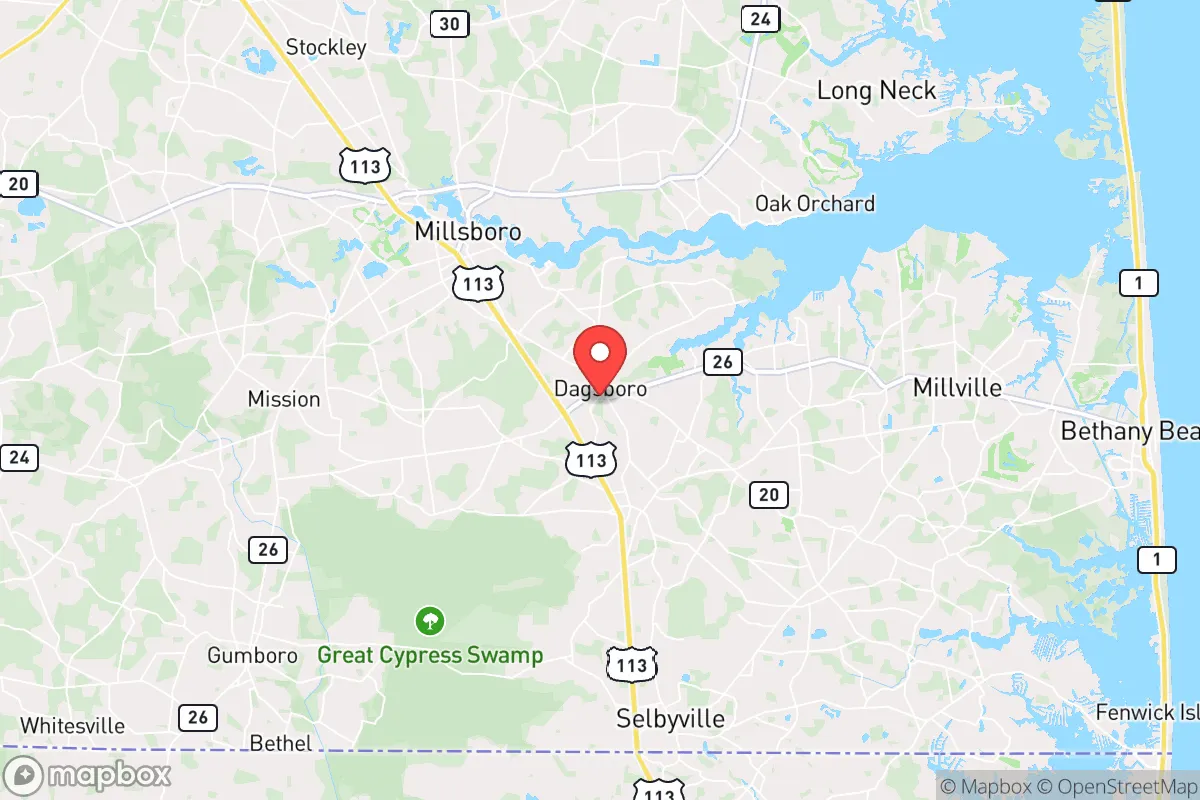
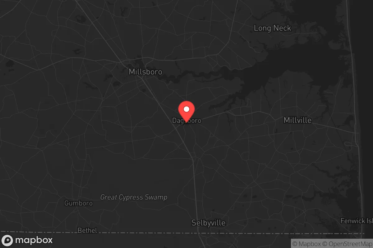
Strategic Assessment of Dagsboro, DE
Multiple tactical vulnerabilities. Population density, target proximity, or disaster risk are likely compounding. A retreat property and exit planning is required.
What does the Strategic Assessment tell us?
Our Strategic Assessment grades tactical survivability of an area. Major population centers, military targets, fallout zones, natural disasters, and border exposure all drive risk — lower exposure means a more defensible position in a crisis.
This is heavily inspired by Joel Skousen's Strategic Relocation book. Highly recommended you checkout the book ($)What does this tell us?
Our Strategic Assessment grades tactical survivability of an area. Major population centers, military targets, fallout zones, natural disasters, and border exposure all drive risk — lower exposure means a more defensible position in a crisis.
This is heavily inspired by Joel Skousen's Strategic Relocation book. Highly recommended you checkout the book ($)Strategic Pillars

Key Distances
Regional Safe Places
Below is our recommended "safe zones" in Delaware and the surrounding area based on our strategic heuristics. For most people, it's unrealistic to live in a “safe zone” full-time due to work, family or other personal reasons. They tend to be more rural. However, many of these areas are perfect for second homes and retreat properties that double as a vacation home or even a short-term rental.


Important Note: For informational purposes only. This does not mean nothing bad ever happens in the green zones. Please use common sense. This is based on public data and modeled with AI. We tried to take a conservative approach but mistakes happen. We update this regularly as new information becomes available.
Solar Generator Recommendations
Backup power matters more here than in safer locations. We've picked three solar generators across budgets and capacity tiers — start with the budget unit if you only need a few essentials, or step up if you want to run a fridge and HVAC for days at a time.

Jackery Portable Power Station Explorer 300
Budget OptionPower on the Go: Weighing only 11 lbs, it's convenient to set up and store with book-sized foldable solar panels

BLUETTI Portable Power Station AC180
Designed for both indoor and outdoor scenarios, AC180 is highly capable as it has a robost capacity and continuous output power.

EF ECOFLOW DELTA Pro Ultra Power Station
Upgraded PickEcoFlow DELTA Pro Ultra is a whole-home energy system designed to grow with your family. Integrated with the Smart Home Panel 2, it scales to meet your evolving energy needs — keeping your home powered, intelligent, and secure through every stage of life.
We earn a commission, at no additional cost to you.
Strategic Assessment Analysis
Dagsboro, Delaware, sits in a quiet pocket of Sussex County that offers a surprisingly resilient strategic position for those prioritizing self-sufficiency and distance from major urban vulnerabilities. Its location roughly 12 miles inland from the Atlantic coast and 30 miles south of Dover places it outside the immediate blast and fallout zones of major cities like Philadelphia, Baltimore, and Washington D.C., while still providing access to essential supply routes and regional infrastructure. The town’s low population density—under 1,000 residents—and its position along the Indian River Bay watershed create a natural buffer against the chaos that would likely engulf larger population centers during a collapse scenario.
Geographic position and natural advantages for long-term survival
Dagsboro’s geography is its primary asset for a prepper mindset. The area sits on the Delmarva Peninsula, a landmass isolated by the Chesapeake Bay to the west and the Atlantic Ocean to the east, which inherently limits the flow of displaced populations from major metropolitan areas. The surrounding landscape is a mix of agricultural fields, pine forests, and tidal wetlands, providing both concealment and resources. The Indian River and its tributaries offer a reliable freshwater source, and the region’s shallow water table means wells are viable for most properties. The flat terrain, while not offering defensive high ground, allows for clear lines of sight and easy movement by foot or vehicle. The proximity to the Indian River Inlet and the Atlantic Ocean also provides access to marine resources—fish, shellfish, and seaweed—that could supplement food supplies during a prolonged disruption. The climate is temperate, with mild winters and moderate rainfall, reducing the risk of extreme weather events that could complicate survival efforts.
Risks, exposures, and proximity to fallout-relevant landmarks
The most significant vulnerability for Dagsboro is its proximity to the Indian River Power Plant, a coal and natural gas facility located roughly 10 miles northeast near Millsboro. While not a nuclear reactor, this industrial site could become a target for sabotage or a source of hazardous material release during civil unrest. Additionally, the town lies within 50 miles of the Salem and Hope Creek nuclear plants in New Jersey, across Delaware Bay. Prevailing winds from the west-northwest mean fallout from a catastrophic event at those plants could potentially drift over the area, though the bay provides some dispersion. The nearby coastal tourism corridor—Rehoboth Beach, Bethany Beach, and Ocean City—would become a funnel for panicked populations during a disaster, with Route 113 and Route 26 serving as primary evacuation arteries. Dagsboro itself sits at the intersection of these routes, meaning it could see heavy traffic and potential conflict during a mass exodus. The town’s lack of natural barriers to the north and east means it is exposed to any unrest spreading from Dover or the coastal resorts. The presence of the Delaware Air National Guard base in New Castle County, about 60 miles north, could be a double-edged sword—offering potential military support but also making the region a target for strategic strikes.
Practical resilience for a relocator: food, water, energy, and defensibility
For a relocator focused on self-sufficiency, Dagsboro offers a workable but not ideal baseline. The agricultural character of Sussex County means local farms and markets are abundant, with produce stands and livestock operations within a 10-mile radius. The Indian River and nearby ponds provide fishing and trapping opportunities, though water purification is essential due to agricultural runoff. The area’s shallow aquifer makes well drilling affordable, with typical depths of 50-100 feet, and most rural properties already have septic systems. Solar energy is viable here—the region averages 4.5 peak sun hours per day—and zoning in unincorporated areas is lenient enough for off-grid setups like solar panels, rainwater catchment, and small wind turbines. Defensibility is moderate: the town’s layout is a classic small-town grid with a few choke points on the main roads, but the surrounding farmland offers little cover for a determined threat. The local population is predominantly older and conservative, which could foster a cooperative community in a crisis, but also means a lack of younger, able-bodied individuals for security details. The nearest hospital is Beebe Healthcare in Lewes, 20 minutes north, which is a vulnerability if medical care is needed during a grid-down scenario. Firearms ownership is common in Sussex County, and the local sheriff’s office is responsive, but during a widespread collapse, law enforcement would be stretched thin. Stockpiling ammunition, medical supplies, and long-term food storage is advisable, as the area’s retail infrastructure is limited to a few grocery stores and hardware outlets that would be quickly depleted.
The overall strategic picture for Dagsboro is one of cautious viability for a prepper or survivalist. It offers a solid balance of isolation from major urban threats, access to natural resources, and a community that shares conservative values of self-reliance and preparedness. The main drawbacks are the exposure to coastal evacuation routes, the proximity to industrial and nuclear sites, and the lack of natural defensive terrain. For a single individual or a family willing to invest in off-grid infrastructure and maintain a low profile, Dagsboro provides a defensible base with room to grow food, store supplies, and ride out the initial chaos of a societal breakdown. However, it is not a fortress—it requires active planning, community networking, and a realistic assessment of the risks from the surrounding region. If you are looking for a place to hunker down and wait out the storm, Dagsboro is a solid choice, but do not mistake its quiet charm for guaranteed safety. Prepare accordingly.
* Values derived from national, state, county, city and local statistics and may differ in a specific area. Last updated: 2026-04-22T07:05:58.000Z
Narrative content on this page is AI-generated and may contain mistakes. Verify any details that matter before acting on them.
ReloMaps may earn a commission from affiliate links at no extra cost to you.