
Photo: Wikipedia
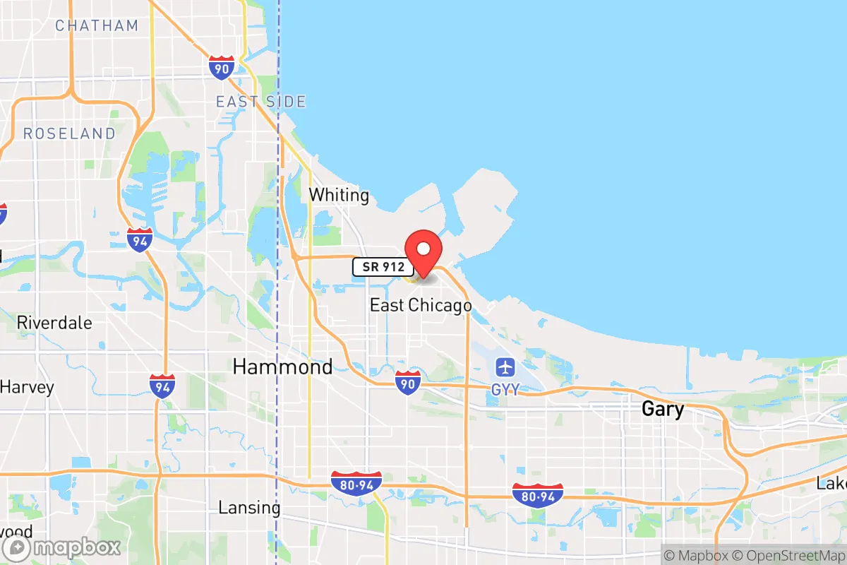
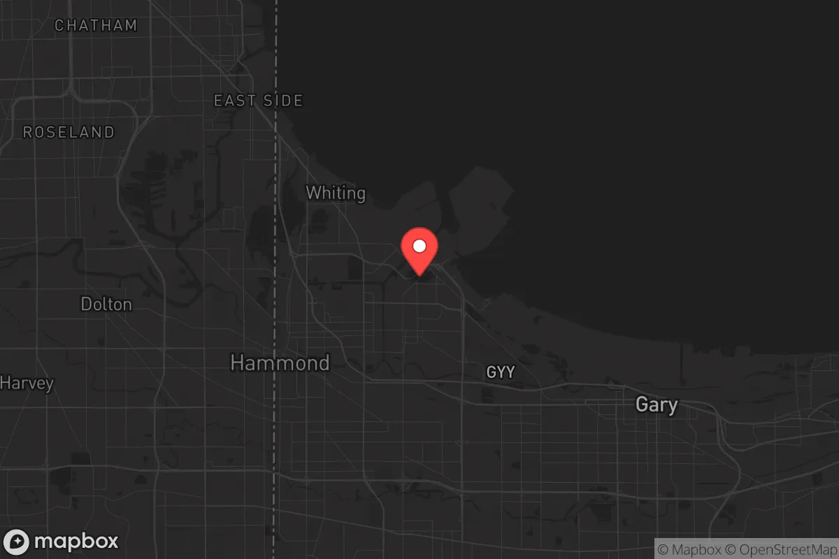
Strategic Assessment of East Chicago, IN
Multiple tactical vulnerabilities. Population density, target proximity, or disaster risk are likely compounding. A retreat property and exit planning is required.
What does the Strategic Assessment tell us?
Our Strategic Assessment grades tactical survivability of an area. Major population centers, military targets, fallout zones, natural disasters, and border exposure all drive risk — lower exposure means a more defensible position in a crisis.
This is heavily inspired by Joel Skousen's Strategic Relocation book. Highly recommended you checkout the book ($)What does this tell us?
Our Strategic Assessment grades tactical survivability of an area. Major population centers, military targets, fallout zones, natural disasters, and border exposure all drive risk — lower exposure means a more defensible position in a crisis.
This is heavily inspired by Joel Skousen's Strategic Relocation book. Highly recommended you checkout the book ($)Strategic Pillars

Key Distances
Regional Safe Places
Below is our recommended "safe zones" in Indiana and the surrounding area based on our strategic heuristics. For most people, it's unrealistic to live in a “safe zone” full-time due to work, family or other personal reasons. They tend to be more rural. However, many of these areas are perfect for second homes and retreat properties that double as a vacation home or even a short-term rental.

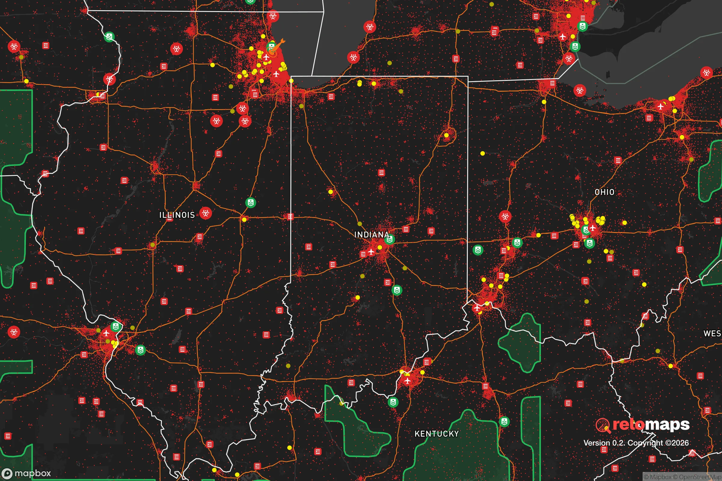
Important Note: For informational purposes only. This does not mean nothing bad ever happens in the green zones. Please use common sense. This is based on public data and modeled with AI. We tried to take a conservative approach but mistakes happen. We update this regularly as new information becomes available.
Solar Generator Recommendations
Backup power matters more here than in safer locations. We've picked three solar generators across budgets and capacity tiers — start with the budget unit if you only need a few essentials, or step up if you want to run a fridge and HVAC for days at a time.

Jackery Portable Power Station Explorer 300
Budget OptionPower on the Go: Weighing only 11 lbs, it's convenient to set up and store with book-sized foldable solar panels

BLUETTI Portable Power Station AC180
Designed for both indoor and outdoor scenarios, AC180 is highly capable as it has a robost capacity and continuous output power.

EF ECOFLOW DELTA Pro Ultra Power Station
Upgraded PickEcoFlow DELTA Pro Ultra is a whole-home energy system designed to grow with your family. Integrated with the Smart Home Panel 2, it scales to meet your evolving energy needs — keeping your home powered, intelligent, and secure through every stage of life.
We earn a commission, at no additional cost to you.
Strategic Assessment Analysis
East Chicago, Indiana, sits in a precarious but potentially strategic pocket along Lake Michigan’s southern shore, roughly 20 miles from downtown Chicago. Its resilience profile is a mixed bag: the city’s industrial backbone and access to Great Lakes shipping lanes offer genuine logistical advantages, but its proximity to a major metropolitan target and heavy industrial infrastructure introduces serious vulnerabilities. For a relocator thinking in terms of long-term preparedness—civic unrest, supply chain disruptions, or mass casualty events—East Chicago demands a clear-eyed assessment of both its hard assets and its glaring exposures.
Geographic position and natural advantages for long-term sustainability
East Chicago’s location is defined by its Lake Michigan frontage and its position within the Calumet Region, a historically industrial corridor that connects water, rail, and highway networks. The city sits at the junction of the Indiana Toll Road (I-90) and I-94, giving residents direct routes into Michigan, Ohio, and the broader Midwest. For a prepper, this means multiple evacuation vectors—not just one chokepoint. The lake itself is a massive, reliable freshwater source, though treatment infrastructure would be a concern in a grid-down scenario. The surrounding area includes the Grand Calumet River and the Indiana Dunes National Park about 10 miles east, which offers some undeveloped land and natural barriers. The flat, post-glacial terrain is not defensible in a tactical sense, but it does allow for clear lines of sight and easy movement if you have a vehicle. The region’s heavy clay soils are poor for large-scale farming, but small raised-bed gardens and greenhouse setups are feasible with amendment. The biggest natural advantage here is water—Lake Michigan holds 20% of the world’s surface freshwater, and East Chicago’s lakefront access is a genuine strategic asset that most inland relocation targets cannot match.
Risks, exposures, and proximity to fallout-relevant landmarks
This is where East Chicago’s profile gets sobering. The city is effectively a satellite of Chicago, which is a Tier 1 target for any major geopolitical conflict or domestic terror scenario. The entire Lake Michigan shoreline from Gary to Chicago is dense with refineries, chemical plants, and steel mills. East Chicago itself hosts the BP Whiting Refinery—one of the largest in the Midwest—plus multiple bulk storage terminals for oil, ammonia, and industrial gases. In a mass casualty event or EMP strike, these facilities become liability magnets: fires, toxic releases, or cascading failures could make large portions of the city uninhabitable for weeks. The proximity to Gary, which has experienced severe urban decay and crime, also means that in a breakdown scenario, population displacement from that area could flow directly into East Chicago. The city’s own crime rates are elevated—violent crime per capita is roughly 2.5 times the national average—which suggests that baseline social cohesion is already strained. For a relocator, the risk calculus here is that you’re trading water access and industrial supply chains for a high probability of being in a secondary impact zone if anything goes wrong in Chicago or the refinery corridor. Fallout patterns from a nuclear event at either the city or the industrial sites would depend on wind direction, but prevailing westerlies mean East Chicago is downwind of Chicago’s potential plume.
Practical resilience for a relocator: food, water, energy, and defensibility
On the practical side, East Chicago offers some hard infrastructure that a prepared individual can leverage. The city’s water supply comes from Lake Michigan via the Indiana American Water system, which has backup generators at its treatment plants—though those are vulnerable to fuel supply disruptions. A well-equipped prepper would want a personal filtration system (Berkey or similar) and a plan to draw from the lake directly if municipal water fails. Food access is decent in normal times: there are multiple grocery stores within a 10-minute drive, including a Strack & Van Til and a Walmart in nearby Hammond. But in a crisis, these would be stripped fast. The industrial character of the area means there are few large-scale farms within 20 miles; most food is trucked in. Energy is a mixed picture: the city is served by NIPSCO, which relies on a mix of natural gas, coal, and renewables. The grid here is old and prone to outages during storms. Solar panels are viable—the region gets about 180 sunny days per year—but winter cloud cover is a real limitation. Defensibility is poor. East Chicago is flat, densely built, and crisscrossed by rail lines and highways. There are no natural chokepoints or high ground. A single-family home with a fence and reinforced doors offers some security, but you cannot hold a perimeter against a determined group. The best play here is to have a bug-out vehicle prepped and a secondary location within 100 miles—say, into rural LaPorte County or southwestern Michigan—where you can relocate if the city becomes untenable.
The overall strategic picture for East Chicago is one of high risk with specific, narrow rewards. If your relocation criteria prioritize freshwater access, industrial supply chains, and proximity to Great Lakes shipping, this location has genuine utility—especially if you’re involved in trades or logistics that depend on that infrastructure. But for a conservative-leaning relocator focused on self-sufficiency, low profile, and distance from major targets, East Chicago falls short. The city’s density, crime baseline, and proximity to Chicago and heavy industry create a scenario where you’re constantly managing exposure rather than building resilience. It’s a location that could work as a temporary staging point or a resource hub, but not as a long-term homestead. If you’re serious about weathering what’s coming, you’d be better served looking 60 to 90 minutes east or south, where the population thins, the land opens up, and the fallout risk drops significantly. East Chicago is a place to pass through, not to plant roots.
* Values derived from national, state, county, city and local statistics and may differ in a specific area. Last updated: 2026-04-22T08:55:24.000Z
Narrative content on this page is AI-generated and may contain mistakes. Verify any details that matter before acting on them.
ReloMaps may earn a commission from affiliate links at no extra cost to you.