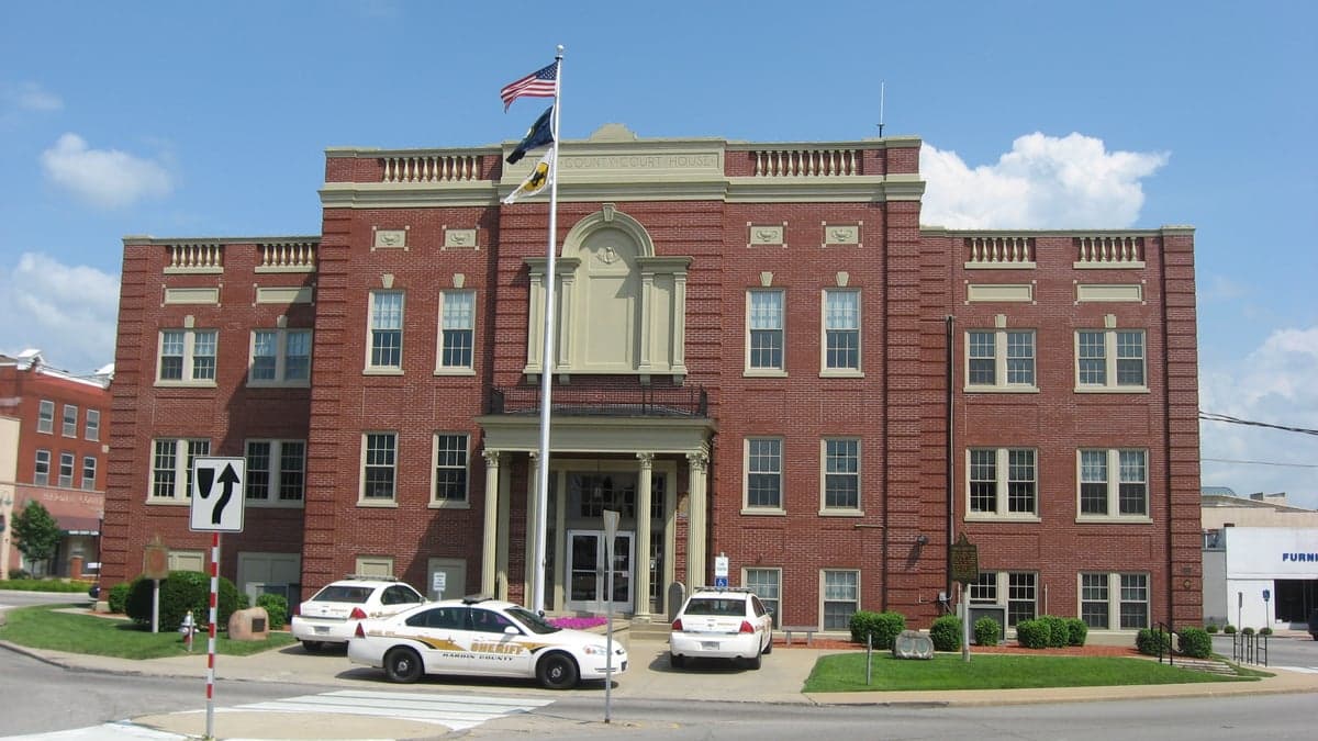
Photo: Wikipedia
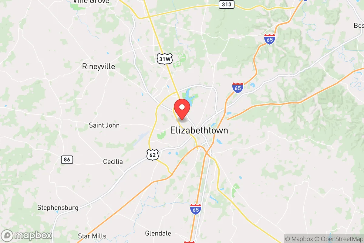
Strategic Assessment of Elizabethtown, KY
Meaningful friction. Expect exposure to either population pressure, blast zones, or natural disaster risk. Consider buying a retreat property.
What does the Strategic Assessment tell us?
Our Strategic Assessment grades tactical survivability of an area. Major population centers, military targets, fallout zones, natural disasters, and border exposure all drive risk — lower exposure means a more defensible position in a crisis.
This is heavily inspired by Joel Skousen's Strategic Relocation book. Highly recommended you checkout the book ($)What does this tell us?
Our Strategic Assessment grades tactical survivability of an area. Major population centers, military targets, fallout zones, natural disasters, and border exposure all drive risk — lower exposure means a more defensible position in a crisis.
This is heavily inspired by Joel Skousen's Strategic Relocation book. Highly recommended you checkout the book ($)Strategic Pillars

Key Distances
Regional Safe Places
Below is our recommended "safe zones" in Kentucky and the surrounding area based on our strategic heuristics. For most people, it's unrealistic to live in a “safe zone” full-time due to work, family or other personal reasons. They tend to be more rural. However, many of these areas are perfect for second homes and retreat properties that double as a vacation home or even a short-term rental.


Important Note: For informational purposes only. This does not mean nothing bad ever happens in the green zones. Please use common sense. This is based on public data and modeled with AI. We tried to take a conservative approach but mistakes happen. We update this regularly as new information becomes available.
Solar Generator Recommendations
Backup power matters more here than in safer locations. We've picked three solar generators across budgets and capacity tiers — start with the budget unit if you only need a few essentials, or step up if you want to run a fridge and HVAC for days at a time.

Jackery Portable Power Station Explorer 300
Budget OptionPower on the Go: Weighing only 11 lbs, it's convenient to set up and store with book-sized foldable solar panels

BLUETTI Portable Power Station AC180
Designed for both indoor and outdoor scenarios, AC180 is highly capable as it has a robost capacity and continuous output power.

EF ECOFLOW DELTA Pro Ultra Power Station
Upgraded PickEcoFlow DELTA Pro Ultra is a whole-home energy system designed to grow with your family. Integrated with the Smart Home Panel 2, it scales to meet your evolving energy needs — keeping your home powered, intelligent, and secure through every stage of life.
We earn a commission, at no additional cost to you.
Strategic Assessment Analysis
Elizabethtown, Kentucky, offers a compelling strategic position for those prioritizing resilience and self-sufficiency, balancing proximity to critical infrastructure with a buffer from the most acute risks of major metropolitan collapse. Located roughly 45 miles south of Louisville and 90 miles east of Fort Knox, this Hardin County hub sits at the intersection of I-65 and the Western Kentucky Parkway, providing both a logistical backbone and a degree of geographic insulation. For a conservative-leaning relocator concerned with civic unrest, supply chain disruptions, or mass casualty events, Elizabethtown presents a mixed picture: strong natural advantages and community cohesion, but with real exposures that demand careful planning.
Geographic position and natural advantages for long-term security
Elizabethtown’s location is its primary strategic asset. The city sits on the eastern edge of the Pennyroyal Plateau, a region characterized by rolling hills, limestone bedrock, and abundant freshwater sources. The area’s karst topography means numerous springs and aquifers, offering reliable groundwater access even during drought—a critical factor for off-grid water security. The surrounding Hardin County is heavily forested, with the 67,000-acre Fort Knox military reservation to the west providing a massive, undeveloped buffer zone that limits suburban sprawl and creates a natural barrier against population influx from Louisville. The I-65 corridor, while a vulnerability, also enables rapid evacuation or supply movement north to the Ohio River or south to Nashville. The climate is temperate, with four distinct seasons and no significant hurricane, earthquake, or wildfire risk, reducing the likelihood of natural-disaster-driven displacement. For a prepper, the ability to grow food in the region’s fertile soil—with a growing season of roughly 180 days—is a tangible advantage, supporting small-scale agriculture and livestock.
Risks, exposures, and proximity to fallout-relevant landmarks
The most significant strategic drawback is Elizabethtown’s proximity to high-value targets and population centers. Fort Knox, just 15 miles west, is a primary military logistics hub and houses the U.S. Bullion Depository, making it a potential target in any large-scale conflict or asymmetric attack. The I-65 bridge over the Ohio River at Louisville is a critical chokepoint; a disruption there would sever the main north-south supply route and could trigger cascading shortages in Elizabethtown. Louisville itself, with its major airport, chemical plants along the Ohio River, and rail yards, is a likely epicenter for civil unrest or infrastructure failure. Elizabethtown’s own industrial base—including a large Amazon fulfillment center, a GE Appliances plant, and several food-processing facilities—is a double-edged sword: it provides local employment and supply chains, but also makes the city a potential target for labor disruptions or targeted attacks. The city’s population of roughly 32,000 (with Hardin County at 110,000) is dense enough to create competition for resources during a crisis, but not so dense as to be unmanageable. Proximity to the Blue Grass Army Depot (45 miles east) and the Paducah Gaseous Diffusion Plant (150 miles west) introduces a low-probability but high-consequence risk of chemical or radiological incidents, though prevailing winds generally carry hazards away from Elizabethtown.
Practical resilience for a relocator: food, water, energy, and defensibility
For a relocator serious about preparedness, Elizabethtown offers a workable baseline but requires deliberate upgrades. Water is the strongest suit: the city draws from the Ohio River via the Hardin County Water District, but private wells are common in outlying areas, and the region’s high water table means shallow wells (30-60 feet) are often viable. Rainwater catchment is also practical, with average annual precipitation of 48 inches. Food security is moderate—local farmers’ markets and CSAs exist, but the area is not a major agricultural producer; most grain and livestock come from farther west. A relocator should plan to establish a garden and secure relationships with local hunters (deer and turkey are abundant) or small-scale farmers. Energy infrastructure is a vulnerability: the grid is served by LG&E and KU, with a mix of coal, natural gas, and hydro, but the region has experienced ice-storm-related outages lasting up to a week. Solar with battery backup is a wise investment, as the area receives about 200 sunny days per year. Defensibility is mixed: the city itself is flat and open, but the surrounding countryside offers numerous rural properties with wooded lots, creek frontage, and limited road access. Hardin County has a strong gun culture and a sheriff’s office that is generally supportive of Second Amendment rights, which aligns with a self-defense mindset. The local hospital, Baptist Health Hardin, is a 300-bed facility with a Level III trauma center, but it could be overwhelmed in a mass casualty event; a relocator should have a robust medical kit and training.
Overall, Elizabethtown represents a calculated compromise for the conservative prepper. It avoids the extreme risks of coastal cities or major metros while retaining enough infrastructure to support a modern lifestyle. The presence of Fort Knox and the I-65 corridor introduces real, non-zero threats, but the area’s natural resources, community resilience, and relative isolation from the worst of urban decay make it a defensible choice. For a single individual or family willing to invest in off-grid capabilities—well water, solar, food storage, and firearms training—Elizabethtown offers a solid foundation. The key is to treat it as a base camp, not a fortress: maintain situational awareness of Louisville and Fort Knox developments, build local networks, and have a secondary retreat plan if the I-65 corridor becomes untenable. In a world of increasing uncertainty, this area provides a rare balance of opportunity and risk that, with proper preparation, can sustain a self-reliant life.
* Values derived from national, state, county, city and local statistics and may differ in a specific area. Last updated: 2026-04-21T09:23:15.000Z
Narrative content on this page is AI-generated and may contain mistakes. Verify any details that matter before acting on them.
ReloMaps may earn a commission from affiliate links at no extra cost to you.