
Photo: Wikipedia
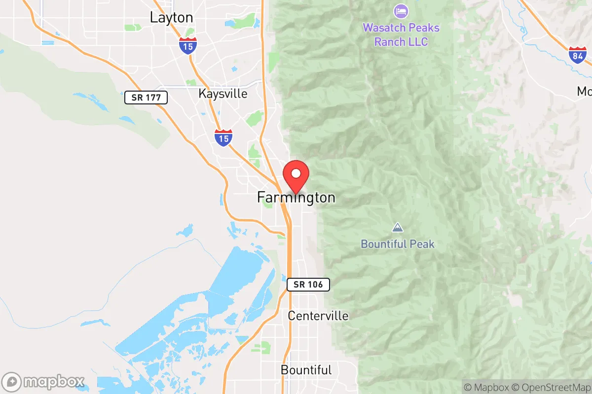
Strategic Assessment of Farmington, UT
Workable tactical position. Some exposure to population density or targets, but generally defensible in a crisis.
What does the Strategic Assessment tell us?
Our Strategic Assessment grades tactical survivability of an area. Major population centers, military targets, fallout zones, natural disasters, and border exposure all drive risk — lower exposure means a more defensible position in a crisis.
This is heavily inspired by Joel Skousen's Strategic Relocation book. Highly recommended you checkout the book ($)What does this tell us?
Our Strategic Assessment grades tactical survivability of an area. Major population centers, military targets, fallout zones, natural disasters, and border exposure all drive risk — lower exposure means a more defensible position in a crisis.
This is heavily inspired by Joel Skousen's Strategic Relocation book. Highly recommended you checkout the book ($)Strategic Pillars

Key Distances
Regional Safe Places
Below is our recommended "safe zones" in Utah and the surrounding area based on our strategic heuristics. For most people, it's unrealistic to live in a “safe zone” full-time due to work, family or other personal reasons. They tend to be more rural. However, many of these areas are perfect for second homes and retreat properties that double as a vacation home or even a short-term rental.


Important Note: For informational purposes only. This does not mean nothing bad ever happens in the green zones. Please use common sense. This is based on public data and modeled with AI. We tried to take a conservative approach but mistakes happen. We update this regularly as new information becomes available.
Solar Generator Recommendations
Backup power matters more here than in safer locations. We've picked three solar generators across budgets and capacity tiers — start with the budget unit if you only need a few essentials, or step up if you want to run a fridge and HVAC for days at a time.

Jackery Portable Power Station Explorer 300
Budget OptionPower on the Go: Weighing only 11 lbs, it's convenient to set up and store with book-sized foldable solar panels

BLUETTI Portable Power Station AC180
Designed for both indoor and outdoor scenarios, AC180 is highly capable as it has a robost capacity and continuous output power.

EF ECOFLOW DELTA Pro Ultra Power Station
Upgraded PickEcoFlow DELTA Pro Ultra is a whole-home energy system designed to grow with your family. Integrated with the Smart Home Panel 2, it scales to meet your evolving energy needs — keeping your home powered, intelligent, and secure through every stage of life.
We earn a commission, at no additional cost to you.
Strategic Assessment Analysis
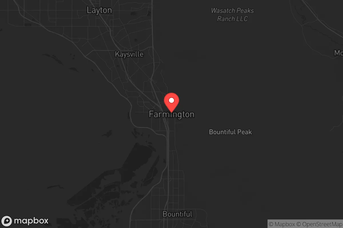
Farmington, Utah, sits in a deceptive pocket of the Wasatch Front—close enough to Salt Lake City to access resources but far enough to avoid the worst of a major urban collapse. Its position at the base of the Wasatch Mountains, with the Great Salt Lake to the west, gives it a natural chokepoint geography that can work for or against a prepared relocator. For a conservative-leaning individual or family thinking about long-term resilience, Farmington offers a mix of solid defensive terrain, decent water access, and proximity to critical infrastructure—but it also carries real exposure risks that demand honest assessment.
Geographic position and natural advantages for long-term security
Farmington’s location is its strongest card. The city sits in a narrow corridor between the Wasatch Range and the Great Salt Lake, meaning any large-scale movement from the urban south (Salt Lake City, 20 miles away) or the north (Ogden, 10 miles away) must pass through a limited number of routes. Interstate 15 runs right through town, but in a crisis, that highway becomes a liability—choke points at the Farmington Bay wetlands and the mountain passes to the east make it easy to monitor or block. The Wasatch foothills rise sharply east of the city, offering immediate escape routes into the Uinta-Wasatch-Cache National Forest, where a prepared individual can find cover, game, and remote camping. The Great Salt Lake to the west provides a natural barrier against approach from that direction, though its shoreline is mostly marshland, not useful for agriculture or easy travel. The area’s elevation (around 4,300 feet) means cooler summers and reliable snowpack in the mountains, which feeds several small creeks and the Weber River just north. For a relocator, the key advantage is defensible terrain with multiple exit options—you can bug out into the mountains, hold a position in the foothills, or use the lake as a buffer against threats from the west.
Risks, exposures, and proximity to fallout-relevant landmarks
Farmington’s proximity to Hill Air Force Base (about 8 miles north) is the single biggest strategic risk. Hill AFB is a major logistics and maintenance hub for the U.S. Air Force, housing the 388th and 419th Fighter Wings with F-35s. In a conventional conflict or a major escalation, that base is a high-priority target. A ground burst or airburst over Hill would send fallout drifting southeast toward Farmington, depending on wind patterns. The prevailing winds in northern Utah are from the west and southwest, which means a strike on Hill could push contamination directly into the Farmington area. Additionally, the base itself could become a focal point for civil unrest, military convoys, or refugee flows if the situation degrades. Salt Lake City’s urban core, with its population density and critical infrastructure (the state capitol, major hospitals, the airport), is another risk vector—a mass casualty event or civil unrest in SLC would send waves of evacuees north along I-15, and Farmington sits right in that funnel. The city’s own population (around 25,000) is small enough to manage, but the surrounding Davis County has over 360,000 people, meaning you’re never truly isolated. The Great Salt Lake itself poses a long-term environmental risk: as it shrinks, toxic dust from the exposed lakebed (loaded with arsenic and heavy metals) can blow into the area, creating a slow-burn health hazard that preppers should factor into water and air filtration plans.
Practical resilience for a relocator: food, water, energy, and defensibility
Water is Farmington’s most reliable resource. The city draws from the Weber River Basin and local mountain runoff, with several reservoirs in the area—Farmington Bay, the Weber River itself, and smaller impoundments like the East Canyon Reservoir (about 15 miles east). For a prepared household, access to year-round surface water is excellent, but it requires filtration and storage planning. The local water table is high enough that shallow wells are feasible in some foothill areas, though permits and drilling costs apply. Food resilience is weaker. Farmington is suburban, not agricultural—most of the land is residential or commercial, with some small farms in the surrounding county. For long-term food security, you’d need to establish a garden, raise small livestock, or build relationships with local producers in Cache Valley (about 45 minutes north) or the Heber Valley (east over the mountains). The local climate supports a short growing season (May to September), so cold frames or a greenhouse are necessary for year-round production. Energy is a mixed bag. The grid is reliable under normal conditions, but the Wasatch Front is prone to winter storms that can knock out power for days. Solar is viable—Farmington gets about 220 sunny days per year—but the mountain shadows in the eastern neighborhoods can reduce panel efficiency. Natural gas is widely available, and propane tanks are common for backup. Defensibility is where Farmington shines for a small group. The foothills offer numerous natural choke points, and the city’s layout—with cul-de-sacs, canyon roads, and limited entry points from the east—makes it easier to secure a neighborhood than a flat, open suburb. A prepared family with a foothills property could effectively control access to their immediate area, especially if they pre-position supplies and establish mutual-aid agreements with neighbors. The local law enforcement presence (Davis County Sheriff’s Office) is professional and well-funded, but in a widespread collapse, they’d be stretched thin—self-reliance is the only realistic bet.
The overall strategic picture for Farmington is one of calculated trade-offs. You get a defensible geography with good water access and multiple escape routes, but you’re living within striking distance of a major military target and a large urban population that could become a liability in a crisis. For a conservative relocator who values community, preparedness, and a slower pace of life, Farmington offers a solid base—provided you’re honest about the risks and invest in the right gear, supplies, and relationships. It’s not a remote bunker, but it’s a place where a smart, prepared family can ride out most scenarios if they plan ahead and stay aware of the bigger picture.
* Values derived from national, state, county, city and local statistics and may differ in a specific area. Last updated: 2026-05-03T20:38:22.000Z
Narrative content on this page is AI-generated and may contain mistakes. Verify any details that matter before acting on them.
ReloMaps may earn a commission from affiliate links at no extra cost to you.