Photo: Wikipedia
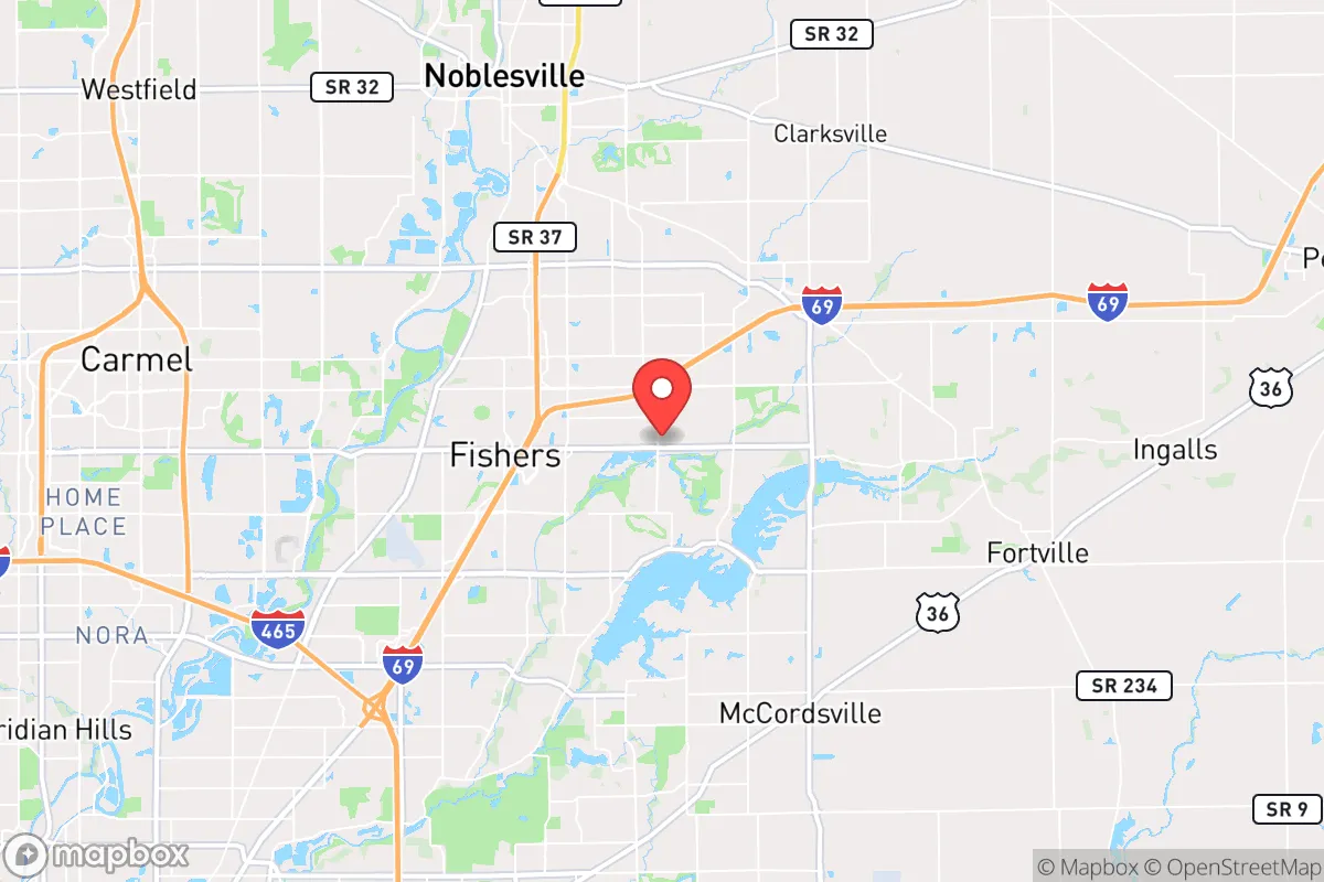
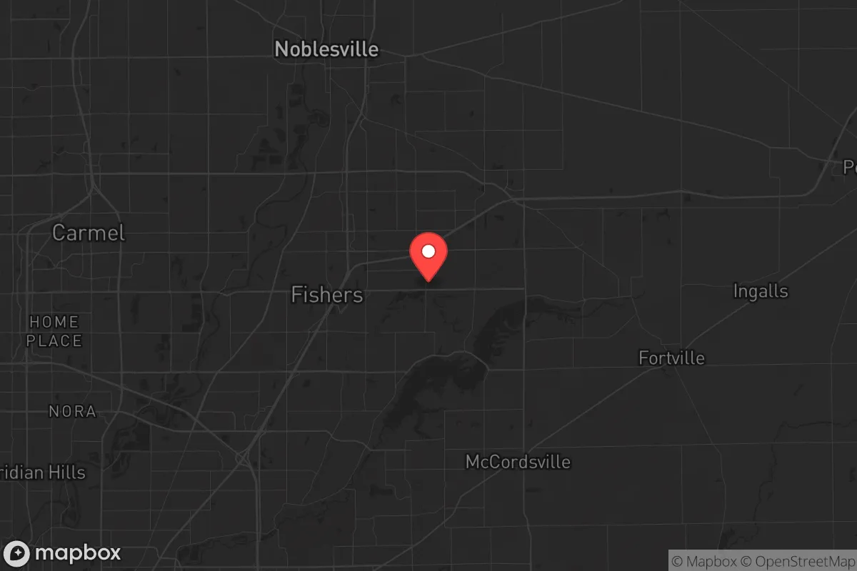
Strategic Assessment of Fishers, IN
Multiple tactical vulnerabilities. Population density, target proximity, or disaster risk are likely compounding. A retreat property and exit planning is required.
What does the Strategic Assessment tell us?
Our Strategic Assessment grades tactical survivability of an area. Major population centers, military targets, fallout zones, natural disasters, and border exposure all drive risk — lower exposure means a more defensible position in a crisis.
This is heavily inspired by Joel Skousen's Strategic Relocation book. Highly recommended you checkout the book ($)What does this tell us?
Our Strategic Assessment grades tactical survivability of an area. Major population centers, military targets, fallout zones, natural disasters, and border exposure all drive risk — lower exposure means a more defensible position in a crisis.
This is heavily inspired by Joel Skousen's Strategic Relocation book. Highly recommended you checkout the book ($)Strategic Pillars

Key Distances
Regional Safe Places
Below is our recommended "safe zones" in Indiana and the surrounding area based on our strategic heuristics. For most people, it's unrealistic to live in a “safe zone” full-time due to work, family or other personal reasons. They tend to be more rural. However, many of these areas are perfect for second homes and retreat properties that double as a vacation home or even a short-term rental.

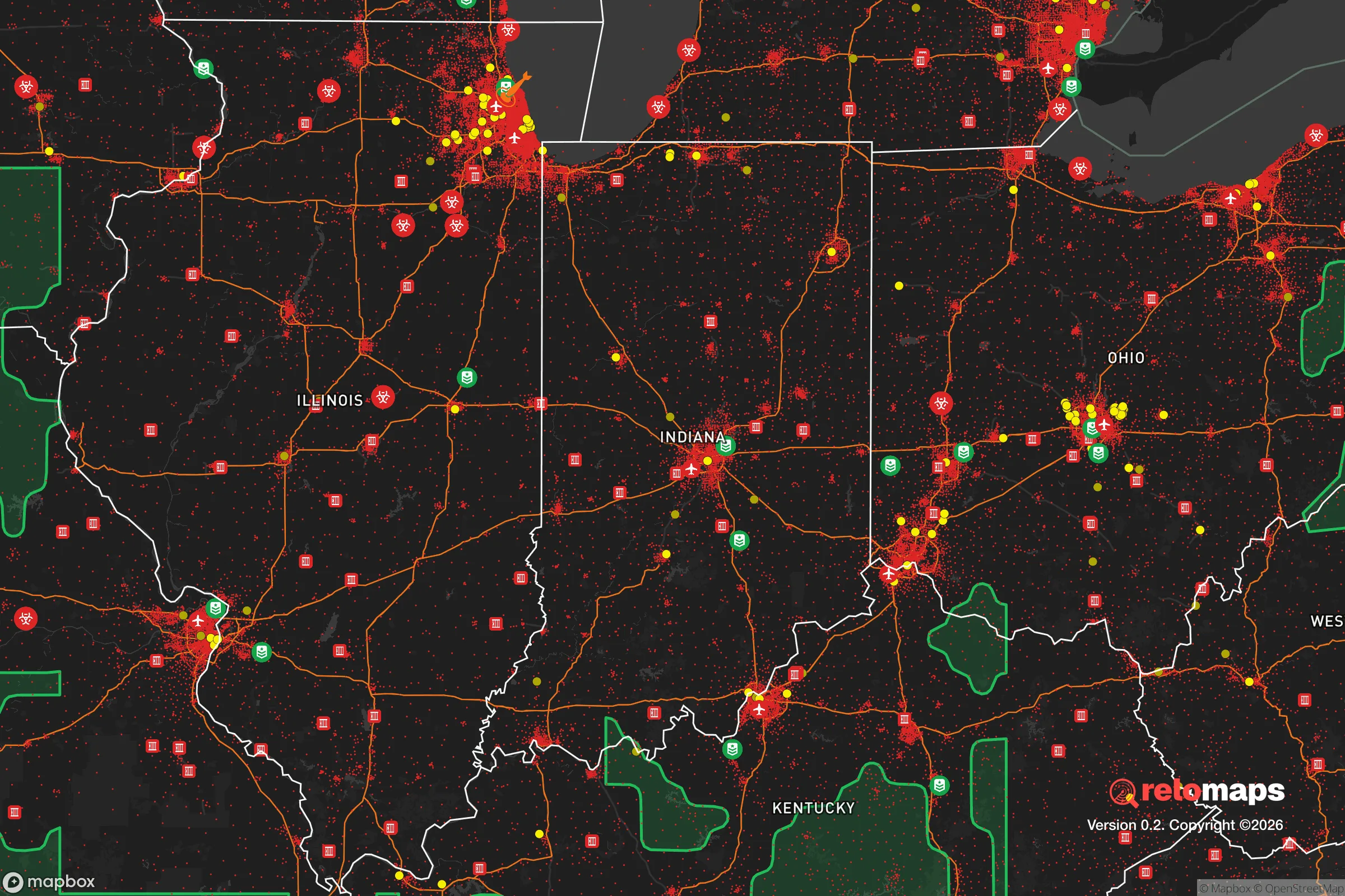
Important Note: For informational purposes only. This does not mean nothing bad ever happens in the green zones. Please use common sense. This is based on public data and modeled with AI. We tried to take a conservative approach but mistakes happen. We update this regularly as new information becomes available.
Solar Generator Recommendations
Backup power matters more here than in safer locations. We've picked three solar generators across budgets and capacity tiers — start with the budget unit if you only need a few essentials, or step up if you want to run a fridge and HVAC for days at a time.

Jackery Portable Power Station Explorer 300
Budget OptionPower on the Go: Weighing only 11 lbs, it's convenient to set up and store with book-sized foldable solar panels

BLUETTI Portable Power Station AC180
Designed for both indoor and outdoor scenarios, AC180 is highly capable as it has a robost capacity and continuous output power.

EF ECOFLOW DELTA Pro Ultra Power Station
Upgraded PickEcoFlow DELTA Pro Ultra is a whole-home energy system designed to grow with your family. Integrated with the Smart Home Panel 2, it scales to meet your evolving energy needs — keeping your home powered, intelligent, and secure through every stage of life.
We earn a commission, at no additional cost to you.
Strategic Assessment Analysis
Fishers, Indiana, presents a mixed strategic picture for the conservative prepper or survivalist. On one hand, it offers strong economic resilience, excellent infrastructure, and a community that leans heavily conservative—Hamilton County voted +27 R in the 2024 presidential election. On the other hand, its position as a fast-growing affluent suburb of Indianapolis places it within the blast and fallout shadow of a major metropolitan area, a significant liability for anyone prioritizing long-term survivability. This analysis weighs those factors for the single individual or family considering relocation with an eye toward civic unrest, mass casualty events, and national-scale disasters.
Geographic position and natural advantages for long-term survival
Fishers sits in central Indiana, roughly 15 miles northeast of downtown Indianapolis. The area is flat to gently rolling, part of the Tipton Till Plain, which means good soil for agriculture but limited natural defensive terrain. The primary natural advantage is water: the White River runs along the western edge of the city, and Geist Reservoir lies just to the northeast, providing a substantial freshwater source. The region is not prone to earthquakes, hurricanes, or wildfires—the biggest natural threats are tornadoes (Indiana averages 20-30 per year) and occasional severe winter storms. The climate is four-season, with hot, humid summers and cold winters that can stress unprepared infrastructure. For a relocator, the flat terrain makes gardening and small-scale farming viable, but it also means there are few natural chokepoints or high-ground positions for defense. The area's agricultural hinterland is a genuine asset: within a 30-mile radius, you have some of the most productive corn and soybean farmland in the country, which could be critical for local food supply in a prolonged grid-down scenario.
Risks, exposures, and proximity to fallout-relevant landmarks
The single biggest strategic liability for Fishers is its proximity to Indianapolis, a city of roughly 900,000 people (metro area ~2.1 million). In a mass casualty event—whether a terrorist attack, a dirty bomb, or a limited nuclear exchange—Fishers sits well within the high-risk fallout zone. Indianapolis is a major transportation hub (I-65, I-69, I-70, I-74 converge there) and hosts several potential targets: the Indianapolis International Airport, the FedEx hub, the Eli Lilly corporate campus (pharmaceutical manufacturing), and the Naval Surface Warfare Center Crane Division about 70 miles southwest. A detonation at any of these could send fallout drifting northeast toward Fishers depending on wind patterns. Additionally, the city's growth has been explosive—population went from about 20,000 in 2000 to over 100,000 by 2025—meaning the area is increasingly dense, with more people competing for the same resources in a crisis. The suburban sprawl also means heavy reliance on cars and a road network that can gridlock quickly during an evacuation. The nearby Geist Reservoir dam is another vulnerability: a failure or targeted attack could flood large portions of the area downstream. For the conservative prepper, the key takeaway is that Fishers is not a retreat location—it's a suburban buffer zone that could become a dangerous place to be in the first 72 hours after a major event.
Practical resilience for a relocator: food, water, energy, and defensibility
For someone willing to invest in preparation, Fishers offers a decent baseline for practical resilience. Water is the strongest suit: the White River and Geist Reservoir provide abundant surface water, though both require filtration and treatment (agricultural runoff and urban pollution are concerns). The city's water utility is reliable but grid-dependent; a well on private property is a major advantage if you can find a home with one. Food is a mixed bag: the area has excellent access to local farms and farmers' markets (the Fishers Farmers Market is one of the largest in the state), but most residents rely on grocery stores with just 3-7 days of supply on hand. Stockpiling is feasible, but suburban HOA restrictions can limit visible prepping. Energy is a vulnerability: the grid is aging and increasingly strained by summer air conditioning demand. Duke Energy serves the area, and outages during storms are common. Solar with battery backup is a smart investment, though HOAs may have aesthetic restrictions. Natural gas is widely available for heating and cooking, which is a plus for grid-down scenarios if the gas lines remain pressurized. Defensibility is the weakest category. Fishers is a suburban grid of cul-de-sacs and arterial roads—easy to navigate for an organized group, hard to defend for a single family. The police department is well-funded and professional (over 100 sworn officers), but in a widespread collapse, they will be overwhelmed. The nearest National Guard armory is in Indianapolis, which could be a stabilizing force or a contested asset. For the single individual or family, the best strategy is to have a secure, low-visibility home with reinforced doors, window film, and a plan to hunker down or bug out to a more rural location within 24-48 hours.
The overall strategic picture for Fishers is one of calculated risk. It offers a strong economy, conservative community values, and good access to water and local food—all positives for a prepper who wants to maintain a normal lifestyle while building resilience. But its proximity to Indianapolis, suburban density, and lack of natural defensibility make it a poor choice for a primary retreat or long-term survival location in a major crisis. For the conservative relocator, Fishers works best as a staging ground: a place to build skills, stockpile supplies, and network with like-minded individuals, with a clear plan to relocate further into rural Indiana (e.g., Brown County, the Hoosier National Forest area, or the Wabash River valley) if the situation deteriorates. If you're looking for a place to ride out the storm in place, look elsewhere. If you want a comfortable base with good infrastructure and a plan B, Fishers is a viable option—just don't get complacent.
* Values derived from national, state, county, city and local statistics and may differ in a specific area. Last updated: 2026-04-22T10:27:21.000Z
Narrative content on this page is AI-generated and may contain mistakes. Verify any details that matter before acting on them.
ReloMaps may earn a commission from affiliate links at no extra cost to you.