Photo: Wikipedia
Strategic Assessment of Duval County
High tactical risk. This location is likely close to major population centers, strategic targets, or sits in a high-disaster corridor. A retreat property and careful exit planning is required.
What does the Strategic Assessment tell us?
Our Strategic Assessment grades tactical survivability of an area. Major population centers, military targets, fallout zones, natural disasters, and border exposure all drive risk — lower exposure means a more defensible position in a crisis.
This is heavily inspired by Joel Skousen's Strategic Relocation book. Highly recommended you checkout the book ($)What does this tell us?
Our Strategic Assessment grades tactical survivability of an area. Major population centers, military targets, fallout zones, natural disasters, and border exposure all drive risk — lower exposure means a more defensible position in a crisis.
This is heavily inspired by Joel Skousen's Strategic Relocation book. Highly recommended you checkout the book ($)Strategic Pillars

Key Distances
Strategic Assessment Analysis
Duval County, anchored by Jacksonville, presents a mixed strategic picture for the relocation-minded reader focused on resilience and self-sufficiency. Its primary advantage is its sheer size and geographic buffer—the county spans over 840 square miles, offering significant space between population centers and potential fallout zones. However, its location along the Atlantic coast and proximity to major military and industrial infrastructure means the area carries distinct exposure risks that a serious preparedness-minded relocator must weigh carefully.
Geographic position and natural advantages for disaster readiness
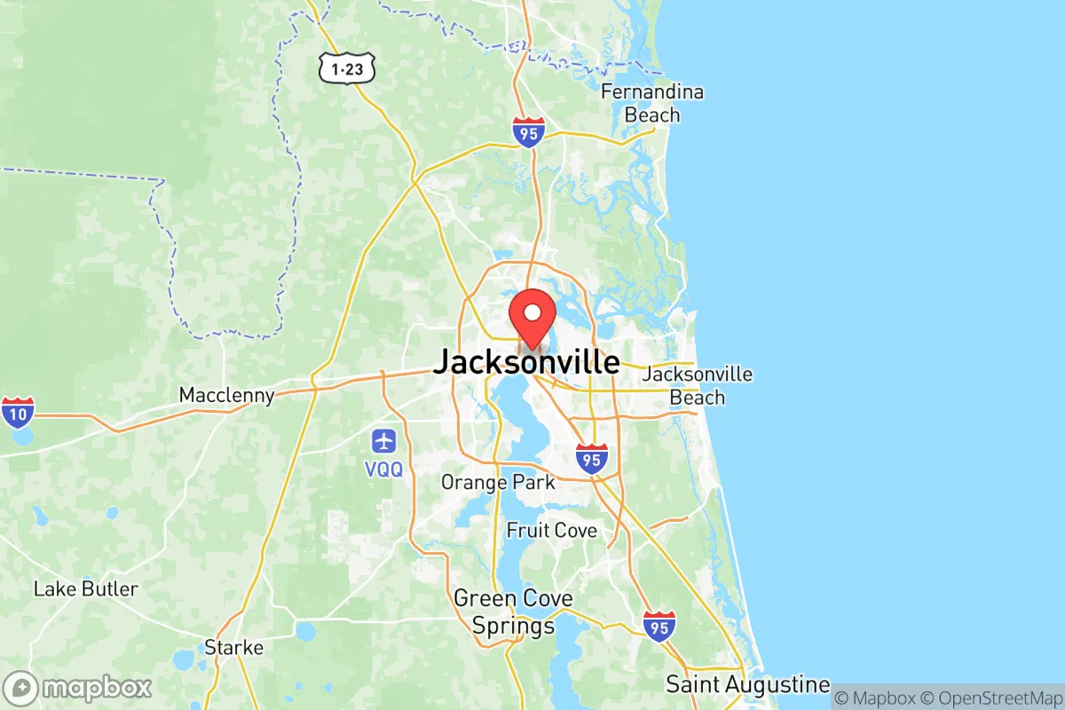
Duval County’s position along the St. Johns River and the Atlantic Ocean provides both strategic depth and vulnerability. The county’s western and southern reaches—areas like Baldwin, the Nassau County line, and rural pockets near the Okefenokee Swamp—offer relatively low population density and access to freshwater sources. The St. Johns River itself is a major navigable waterway, which can serve as a transportation corridor for supplies or evacuation if coastal routes are compromised. The county’s flat, coastal plain terrain means no mountainous defensible positions, but the extensive network of creeks, marshes, and forested areas in the western half (e.g., the Jennings State Forest area) provides natural cover and isolation from urban centers. Jacksonville’s deepwater port, the largest in Florida by tonnage, is a double-edged sword: it ensures robust supply chains for goods but also makes the area a potential target in a conflict scenario. For a relocator, the key takeaway is that the county’s size allows for a wide range of micro-environments—from dense urban to near-wilderness—so choosing a specific location within Duval is critical.
Risks, exposures, and proximity to fallout-relevant landmarks
Duval County’s risk profile is dominated by three factors: hurricane vulnerability, military infrastructure, and industrial concentration. The county sits directly in the path of Atlantic hurricane tracks, with storm surge risks along the coast and the St. Johns River floodplain. Hurricane Irma in 2017 caused widespread flooding in Jacksonville, with the river cresting at record levels. More critically for a strategic assessment, Duval County hosts Naval Air Station Jacksonville and Naval Submarine Base Kings Bay just across the state line in Georgia—both are high-value military assets that could be primary or secondary targets in a major conflict. The county also contains JAXPORT, a major container and military cargo hub, and the Jacksonville International Airport, which serves as a civilian and military airfield. Industrial facilities along the St. Johns River, including chemical storage and petroleum terminals, present secondary fallout risks from accidents or sabotage. For a relocator, living within 10 miles of these landmarks—especially the naval bases or the port—increases exposure to potential kinetic or secondary effects. The safest zones within Duval are likely the rural western and northern edges, such as the area around Baldwin or near the Nassau County line, where distance from these targets is greatest.
Practical resilience for a relocator: food, water, energy, and defensibility
For a relocator serious about self-sufficiency, Duval County offers a mixed bag. Water access is excellent: the Floridan Aquifer provides abundant groundwater, and the St. Johns River is a surface source, though it requires treatment due to brackishness near the coast. Well drilling is feasible in rural areas, with typical depths of 100-300 feet. Food production potential is moderate: the county’s sandy soils and humid subtropical climate support year-round gardening, but commercial agriculture is limited compared to inland counties like Putnam or Alachua. Local food networks exist through farmers’ markets and CSAs, but a relocator should plan to supplement with home gardening and livestock if aiming for long-term self-sufficiency. Energy resilience is a concern: the grid is vulnerable to hurricane outages, and JEA (the municipal utility) relies heavily on natural gas and coal plants. Solar potential is good, with over 200 sunny days per year, but coastal storms can damage panels. Defensibility is situational: the flat terrain offers limited natural chokepoints, but the county’s extensive network of rural roads and waterways can be used for perimeter security. The western areas near the Okefenokee Swamp provide a natural barrier to approach from the north, while the St. Johns River acts as a moat-like feature for properties on its western bank. For a family, the key is to choose a property with good water access, defensible terrain (e.g., a property with a long driveway and tree cover), and distance from the major military and industrial zones.
The overall strategic picture for Duval County is one of trade-offs. It offers the space and resources for a serious preparedness lifestyle, but only if the relocator chooses their specific location carefully. The county’s size and natural features—the river, the aquifer, the rural western buffer—are genuine assets. But the concentration of military and industrial targets, combined with hurricane risk, means that a relocator must be willing to live on the county’s periphery to maximize safety. For a single individual or family willing to invest in well water, solar power, and a defensible property in the western or northern rural zones, Duval County can be a viable base for long-term resilience. For those seeking a low-risk, low-profile location, inland counties further from the coast and major infrastructure may be a better fit. The bottom line: Duval County is a high-potential but high-exposure area that rewards careful site selection and preparation.

* Values derived from national, state, county, city and local statistics and may differ in a specific area. Last updated: 2026-08-19T21:21:33.000Z
Narrative content on this page is AI-generated and may contain mistakes. Verify any details that matter before acting on them.
ReloMaps may earn a commission from affiliate links at no extra cost to you.

