Photo: Wikipedia
Strategic Assessment of Lee County
Meaningful friction. Expect exposure to either population pressure, blast zones, or natural disaster risk. Consider buying a retreat property.
What does the Strategic Assessment tell us?
Our Strategic Assessment grades tactical survivability of an area. Major population centers, military targets, fallout zones, natural disasters, and border exposure all drive risk — lower exposure means a more defensible position in a crisis.
This is heavily inspired by Joel Skousen's Strategic Relocation book. Highly recommended you checkout the book ($)What does this tell us?
Our Strategic Assessment grades tactical survivability of an area. Major population centers, military targets, fallout zones, natural disasters, and border exposure all drive risk — lower exposure means a more defensible position in a crisis.
This is heavily inspired by Joel Skousen's Strategic Relocation book. Highly recommended you checkout the book ($)Strategic Pillars

Key Distances
Strategic Assessment Analysis
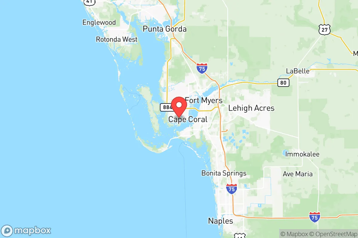
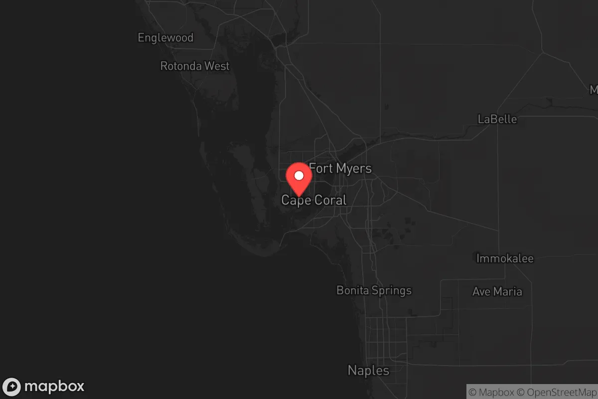
Lee County, Florida, offers a mixed bag for the strategic relocator looking to balance access to resources with a reasonable buffer from the most obvious fallout zones. Anchored by Fort Myers and Cape Coral, the county sits on the Gulf Coast, roughly 120 miles south of Tampa and 140 miles west of Miami—close enough to tap into major supply chains and medical infrastructure, but far enough that you won't be in the immediate blast radius of a major port or military installation. The Caloosahatchee River cuts through the county, providing a freshwater artery and a natural barrier, while the barrier islands of Sanibel and Captiva offer a maritime buffer that complicates any approach from the Gulf.
Geographic position and natural advantages for a long-term hold
Lee County's geography is its strongest card for a prepper mindset. The Caloosahatchee River runs east-west, dividing the county into distinct northern and southern zones, and it connects to Lake Okeechobee via the Okeechobee Waterway—a navigable route that could serve as a secondary supply line or escape corridor if coastal roads are compromised. The eastern part of the county, around Alva and Babcock Ranch, transitions into pine flatwoods and ranchland, offering lower population density and more defensible terrain compared to the congested coastal strip. The barrier islands provide a natural first line of defense against a Gulf-based threat, but they also create a chokepoint: the Sanibel Causeway is the only road access for those islands, and it's vulnerable to both storm damage and intentional blocking. The climate is subtropical, meaning year-round growing seasons for food production, and the water table is high, with the Caloosahatchee River and the underlying Floridan Aquifer providing reliable freshwater sources. For a relocator, the ability to tap into local agriculture and water without relying on fragile municipal systems is a significant advantage.
Risks, exposures, and proximity to fallout-relevant landmarks
The downsides are real and need to be weighed honestly. Lee County is in the bullseye for Atlantic hurricane activity, and the 2022 landfall of Hurricane Ian demonstrated just how vulnerable the area is to storm surge and wind damage—especially in Cape Coral and along the Caloosahatchee River. Evacuation routes are limited: Interstate 75 runs north-south through the county, but it can gridlock quickly when a storm approaches, and the only other major artery is US 41 (Tamiami Trail), which is slow and prone to flooding. From a man-made threat perspective, Lee County is not a primary target, but it's within a 150-mile radius of several high-value assets. MacDill Air Force Base in Tampa is a major command center for Central Command and Special Operations Command—a likely target in any conflict scenario. The Port of Tampa handles significant fuel and fertilizer shipments, and the Port of Fort Myers itself is a smaller but still relevant maritime hub. Additionally, the Southwest Florida International Airport (RSW) could become a staging area for military or relief operations, drawing unwanted attention. The county's high concentration of retirees and seasonal residents means that a prolonged crisis could strain medical resources and create competition for supplies faster than in a younger, more self-sufficient population base.
Practical resilience for a relocator: food, water, energy, and defensibility
For the individual or family looking to live on their own terms, Lee County has workable pieces. Food: The region has a strong agricultural sector—citrus, tomatoes, and row crops in the eastern farmlands around Alva and Buckingham—and the Gulf offers year-round fishing for snapper, grouper, and shellfish. The Caloosahatchee River also supports freshwater fishing and could be used for small-scale irrigation. Water: The Floridan Aquifer is deep and generally clean, but well drilling is regulated and can be expensive; surface water from the river is abundant but requires treatment. Rainwater catchment is viable given the annual rainfall of over 50 inches. Energy: The Lee County Electric Cooperative serves much of the rural area, and Babcock Ranch is a master-planned community built around a solar farm, which could provide a model for off-grid or grid-tied solar setups. Natural gas is available in most of the county, but a prolonged grid outage would leave most residents dependent on generators. Defensibility: The county's sprawl is
* Values derived from national, state, county, city and local statistics and may differ in a specific area. Last updated: 2026-05-14T21:35:40.000Z
Narrative content on this page is AI-generated and may contain mistakes. Verify any details that matter before acting on them.
ReloMaps may earn a commission from affiliate links at no extra cost to you.