
Photo: Wikipedia
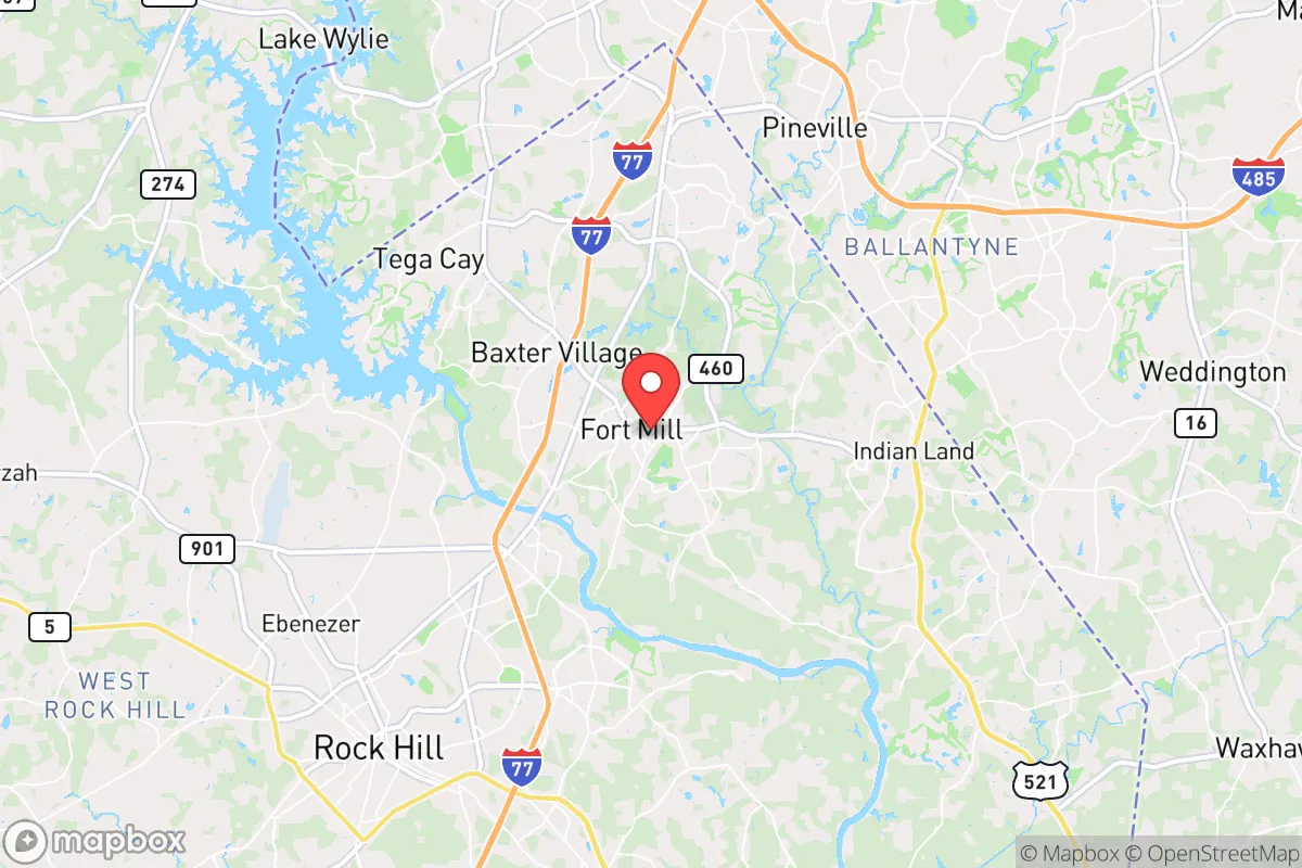
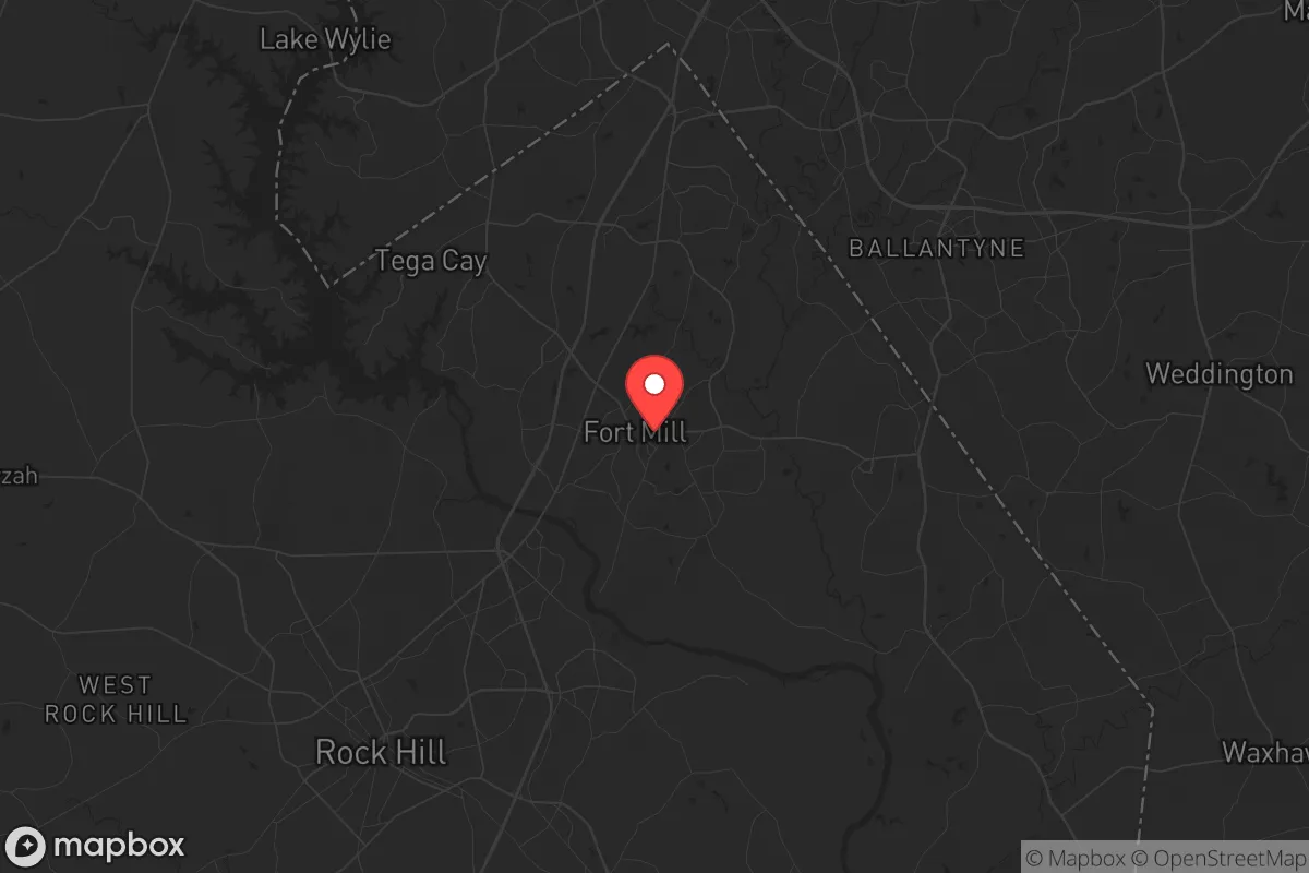
Strategic Assessment of Fort Mill, SC
Multiple tactical vulnerabilities. Population density, target proximity, or disaster risk are likely compounding. A retreat property and exit planning is required.
What does the Strategic Assessment tell us?
Our Strategic Assessment grades tactical survivability of an area. Major population centers, military targets, fallout zones, natural disasters, and border exposure all drive risk — lower exposure means a more defensible position in a crisis.
This is heavily inspired by Joel Skousen's Strategic Relocation book. Highly recommended you checkout the book ($)What does this tell us?
Our Strategic Assessment grades tactical survivability of an area. Major population centers, military targets, fallout zones, natural disasters, and border exposure all drive risk — lower exposure means a more defensible position in a crisis.
This is heavily inspired by Joel Skousen's Strategic Relocation book. Highly recommended you checkout the book ($)Strategic Pillars

Key Distances
Regional Safe Places
Below is our recommended "safe zones" in South Carolina and the surrounding area based on our strategic heuristics. For most people, it's unrealistic to live in a “safe zone” full-time due to work, family or other personal reasons. They tend to be more rural. However, many of these areas are perfect for second homes and retreat properties that double as a vacation home or even a short-term rental.


Important Note: For informational purposes only. This does not mean nothing bad ever happens in the green zones. Please use common sense. This is based on public data and modeled with AI. We tried to take a conservative approach but mistakes happen. We update this regularly as new information becomes available.
Solar Generator Recommendations
Backup power matters more here than in safer locations. We've picked three solar generators across budgets and capacity tiers — start with the budget unit if you only need a few essentials, or step up if you want to run a fridge and HVAC for days at a time.

Jackery Portable Power Station Explorer 300
Budget OptionPower on the Go: Weighing only 11 lbs, it's convenient to set up and store with book-sized foldable solar panels

BLUETTI Portable Power Station AC180
Designed for both indoor and outdoor scenarios, AC180 is highly capable as it has a robost capacity and continuous output power.

EF ECOFLOW DELTA Pro Ultra Power Station
Upgraded PickEcoFlow DELTA Pro Ultra is a whole-home energy system designed to grow with your family. Integrated with the Smart Home Panel 2, it scales to meet your evolving energy needs — keeping your home powered, intelligent, and secure through every stage of life.
We earn a commission, at no additional cost to you.
Strategic Assessment Analysis
Fort Mill, South Carolina, sits in a deceptively strategic pocket of the Piedmont region, offering a blend of geographic insulation and logistical access that makes it a serious candidate for a relocation focused on long-term resilience. Its position just south of the North Carolina border places it within a 20-minute drive of Charlotte’s economic core, yet the town itself retains a semi-rural character with low population density outside the main corridors. For the prepper or survivalist-minded individual, Fort Mill’s real advantage is its location on the fall line—the geological boundary between the hard rock of the Piedmont and the coastal plain—which provides stable bedrock for well water, minimal flood risk from storm surge, and a natural buffer against the hurricane threats that plague the coast. The Catawba River, which forms the town’s western edge, offers a reliable surface water source, while the surrounding York County farmland provides a local food production base that many suburban enclaves lack.
Geographic position and natural advantages for long-term security
Fort Mill’s geography is its strongest card. The town sits on a plateau of ancient granite and gneiss, meaning the water table is deep but consistent, and the soil is well-drained—critical for both septic systems and gardening. The Catawba River, impounded by the Lake Wylie dam just upstream, provides a massive freshwater reservoir that is unlikely to run dry even during extended droughts. The terrain is gently rolling, with enough elevation change (roughly 600 feet above sea level) to offer natural drainage and defensible high ground in the southern parts of town near the Baxter community. The climate is humid subtropical, with a growing season of about 220 days, allowing for two full crop cycles per year. Unlike the coastal plains, Fort Mill is far enough inland (roughly 150 miles from the Atlantic) that a Category 5 hurricane would degrade to a tropical storm by the time it arrives, and the region has no history of significant tornado activity—the last F3 or higher tornado in York County was in 1984. The area is also outside the primary blast radius of any nuclear power plant (the nearest, Catawba Nuclear Station, is 12 miles north in Lake Wylie, SC), though that proximity is a double-edged sword we’ll address shortly.
Risks, exposures, and proximity to fallout-relevant landmarks
No location is a fortress, and Fort Mill has vulnerabilities that a serious relocator must weigh. The most obvious is its proximity to Charlotte, a major financial hub and transportation nexus. Charlotte Douglas International Airport is a primary target for any mass-casualty event involving air travel or infrastructure sabotage, and the city’s concentration of banking headquarters (Bank of America, Truist) makes it a symbolic target for civil unrest. Fort Mill lies directly along the I-77 corridor, which is the main evacuation route from Charlotte south toward Columbia, SC. In a crisis, that highway would become a parking lot or a chokepoint, and the town’s main streets (US 21 and SC 160) would be flooded with refugees. The Catawba Nuclear Station, while well-regulated, is a single-point-of-failure risk: a catastrophic release would put Fort Mill within the 10-mile plume exposure pathway, requiring evacuation or shelter-in-place. The station’s spent fuel pools are above ground, a known vulnerability in the event of a coordinated attack. Additionally, the town sits within 50 miles of the Savannah River Site (a nuclear weapons facility) and the Charlotte rail yard, which handles hazardous materials. For the prepper, these are not deal-breakers but factors that demand a layered defense plan—specifically, a bug-out route east toward the Sandhills region or west into the Appalachian foothills.
Practical resilience for a relocator: food, water, energy, and defensibility
Fort Mill’s practical resilience is above average for a suburb, but it requires active preparation. The town’s water supply comes from the Catawba River via the Rock Hill water system, which is a single-source surface water intake. A contamination event or power failure at the treatment plant would cut municipal water within hours. However, the deep granite aquifer beneath the Piedmont means that a properly drilled well (300-500 feet) can yield 10-20 gallons per minute—enough for a household and a small garden. Many homes in the rural parts of Fort Mill (north of Sutton Road, west of US 21) already have wells, and new construction can include one for roughly $8,000-12,000. The local soil is loamy clay, which drains well but requires amendment for high-yield gardening; raised beds with compost are the standard solution. For energy, Duke Energy’s grid is reliable but vulnerable to ice storms and cyberattacks. Solar is viable—the region averages 215 sunny days per year—but net metering policies in South Carolina are less favorable than in North Carolina, so battery storage (e.g., Tesla Powerwall or Generac) is a better investment than grid-tied panels. Defensibility is mixed: the suburban subdivisions near I-77 are indefensible due to multiple access points and dense housing, but the older neighborhoods along the Catawba River (e.g., the unincorporated areas near Springfield Road) offer rural setbacks, tree cover, and single-lane bridges that create natural chokepoints. The local sheriff’s office is well-funded and has a strong presence, but response times in the rural stretches can exceed 20 minutes. A neighborhood watch or mutual-aid group is not just a social nicety here—it’s a practical necessity.
The overall strategic picture for Fort Mill is one of calculated trade-offs. It offers the food, water, and defensibility advantages of a Piedmont location without the isolation of deep Appalachia, making it viable for someone who needs to maintain a professional income while building a resilient homestead. The proximity to Charlotte is a double-edged sword: it provides access to medical centers (Atrium Health’s main campus is 20 minutes away), hardware suppliers, and a diverse job market, but it also introduces the risks of civil unrest, infrastructure targeting, and refugee flows. For the conservative-leaning relocator who values self-reliance and community cohesion, Fort Mill’s relatively low crime rate (violent crime is roughly half the national average), strong local governance (York County is reliably red), and active farming community make it a solid base of operations. The key is to buy land on the western side of town, near the river but above the floodplain, with a well and septic already in place, and to establish relationships with local farmers and the county emergency management office before any crisis hits. Fort Mill won’t save you from a nuclear event or a national collapse, but it will give you a fighting chance to ride out the storm and rebuild.
* Values derived from national, state, county, city and local statistics and may differ in a specific area. Last updated: 2026-04-23T04:02:15.000Z
Narrative content on this page is AI-generated and may contain mistakes. Verify any details that matter before acting on them.
ReloMaps may earn a commission from affiliate links at no extra cost to you.