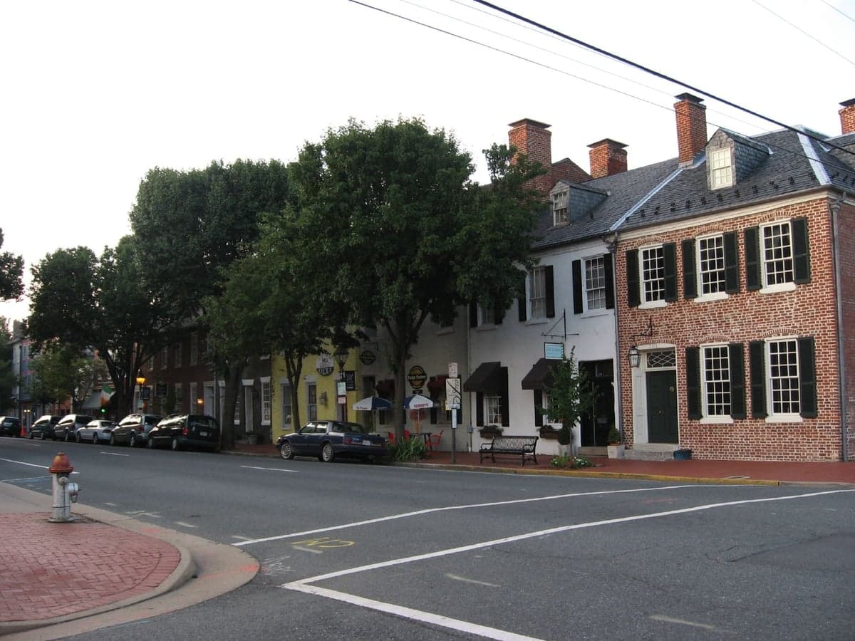

Photo: Wikipedia
Strategic Assessment of Fredericksburg, VA
Meaningful friction. Expect exposure to either population pressure, blast zones, or natural disaster risk. Consider buying a retreat property.
What does the Strategic Assessment tell us?
Our Strategic Assessment grades tactical survivability of an area. Major population centers, military targets, fallout zones, natural disasters, and border exposure all drive risk — lower exposure means a more defensible position in a crisis.
This is heavily inspired by Joel Skousen's Strategic Relocation book. Highly recommended you checkout the book ($)What does this tell us?
Our Strategic Assessment grades tactical survivability of an area. Major population centers, military targets, fallout zones, natural disasters, and border exposure all drive risk — lower exposure means a more defensible position in a crisis.
This is heavily inspired by Joel Skousen's Strategic Relocation book. Highly recommended you checkout the book ($)Strategic Pillars

Key Distances
Regional Safe Places
Below is our recommended "safe zones" in Virginia and the surrounding area based on our strategic heuristics. For most people, it's unrealistic to live in a “safe zone” full-time due to work, family or other personal reasons. They tend to be more rural. However, many of these areas are perfect for second homes and retreat properties that double as a vacation home or even a short-term rental.


Important Note: For informational purposes only. This does not mean nothing bad ever happens in the green zones. Please use common sense. This is based on public data and modeled with AI. We tried to take a conservative approach but mistakes happen. We update this regularly as new information becomes available.
Solar Generator Recommendations
Backup power matters more here than in safer locations. We've picked three solar generators across budgets and capacity tiers — start with the budget unit if you only need a few essentials, or step up if you want to run a fridge and HVAC for days at a time.

Jackery Portable Power Station Explorer 300
Budget OptionPower on the Go: Weighing only 11 lbs, it's convenient to set up and store with book-sized foldable solar panels

BLUETTI Portable Power Station AC180
Designed for both indoor and outdoor scenarios, AC180 is highly capable as it has a robost capacity and continuous output power.

EF ECOFLOW DELTA Pro Ultra Power Station
Upgraded PickEcoFlow DELTA Pro Ultra is a whole-home energy system designed to grow with your family. Integrated with the Smart Home Panel 2, it scales to meet your evolving energy needs — keeping your home powered, intelligent, and secure through every stage of life.
We earn a commission, at no additional cost to you.
Strategic Assessment Analysis
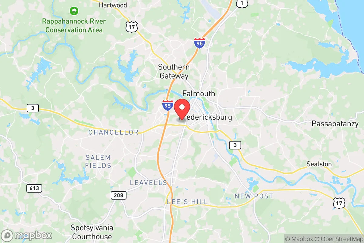
Fredericksburg, Virginia, occupies a precarious strategic position that demands careful consideration for anyone prioritizing long-term resilience. Its location roughly halfway between Washington, D.C., and Richmond places it within the immediate fallout zone of two major population and government centers, a significant liability for those concerned with civil unrest, grid collapse, or mass casualty events. While the area offers some natural advantages like the Rappahannock River and access to the Chesapeake Bay region, its proximity to I-95 and the dense suburban sprawl of Northern Virginia means that any major disruption in the capital region would likely cascade into Fredericksburg within hours. For a relocator with a survivalist mindset, the city itself is a high-risk proposition, though the surrounding rural areas of Spotsylvania, Stafford, and Caroline counties present a more nuanced picture worth examining.
Geographic position and natural advantages for long-term survival
Fredericksburg sits at the fall line of the Rappahannock River, where the Piedmont region meets the Coastal Plain, giving it a mix of terrain that includes rolling hills, hardwood forests, and river valleys. The Rappahannock itself is a substantial water source, though its proximity to the city means it would be heavily contested in a crisis. The area's position along the I-95 corridor is a double-edged sword: it provides easy access to supply routes under normal conditions, but in a collapse scenario, that same highway becomes a chokepoint for refugees fleeing D.C. and Richmond. The region's agricultural capacity is moderate, with farms in Spotsylvania and Caroline counties producing corn, soybeans, and livestock, but it is not a breadbasket. The climate is temperate, with four distinct seasons and adequate rainfall, supporting gardening and small-scale farming without the extremes of the Deep South or the Northeast. The nearby Lake Anna and the Potomac River offer additional water resources, though both are within striking distance of population centers. The area's natural defensibility is limited—there are no mountains or natural fortifications—but the dense forests of the Rappahannock River Valley National Wildlife Refuge and the wooded tracts west of town could provide cover for those willing to go off-grid.
Risks, exposures, and proximity to fallout-relevant landmarks
The single greatest risk for Fredericksburg is its location along the I-95 corridor, which in any major crisis would become a funnel for displaced populations from the D.C. metro area, home to over 6 million people. The city itself has a population of roughly 30,000, but the greater Fredericksburg area—including Spotsylvania, Stafford, and King George counties—exceeds 400,000, meaning the region is already densely populated by survivalist standards. The presence of Quantico Marine Corps Base 20 miles north and Dahlgren Naval Surface Warfare Center 25 miles east means the area is a military logistics hub, which could be a target for adversaries or a magnet for federal response efforts that draw unwanted attention. The North Anna Nuclear Generating Station, located about 30 miles west near Mineral, Virginia, is a significant fallout risk; a meltdown or sabotage event there would render large swaths of the region uninhabitable, with prevailing winds carrying contamination eastward over Fredericksburg. The city's proximity to the Potomac River and Chesapeake Bay also exposes it to sea-level rise and storm surge from hurricanes, though this is a slower-moving threat. For the prepper, the concentration of federal facilities, data centers, and transportation infrastructure within a 50-mile radius makes Fredericksburg a high-target area for any coordinated attack or civil unrest scenario.
Practical resilience for a relocator: food, water, energy, and defensibility
Water access in the Fredericksburg area is decent but not secure. The Rappahannock River is the primary source, but it is heavily polluted upstream from agricultural runoff and urban stormwater, requiring robust filtration or boiling. Private wells in the surrounding counties are a better bet, with groundwater depths averaging 100-300 feet in Spotsylvania and Caroline, but drilling costs and maintenance are factors. Food production is feasible but limited by soil quality—much of the area's farmland is clay-heavy and requires amendment. Local farmers' markets and CSAs exist, but reliance on them in a crisis is risky; a better strategy is to secure land in the more rural western parts of Spotsylvania or Orange County, where larger parcels are available. Energy resilience is a mixed bag: grid reliability in the region is average, with outages common during summer thunderstorms and winter ice storms, but solar potential is good, with an average of 4.5 peak sun hours per day. Natural gas infrastructure is widespread in the suburbs but less so in rural areas, making propane or wood heating a necessity for off-grid living. Defensibility is the weak point. The terrain is mostly flat to gently rolling, with few natural chokepoints. The best defensive positions are along the river bluffs or in the dense woods of the Wilderness Battlefield area, but these are public lands with limited legal occupancy. For a single individual or family, a rural property with a long driveway, good sightlines, and a well-sealed perimeter is the minimum viable option. The local law enforcement presence is adequate but would be overwhelmed in a mass evacuation scenario, so self-reliance is non-negotiable.
The overall strategic picture for Fredericksburg is one of calculated risk. It is not a survivalist paradise—the proximity to D.C., the I-95 corridor, and the nuclear plant are serious liabilities that cannot be mitigated through preparation alone. However, for someone who must remain within commuting distance of the capital for work or family reasons, the rural fringes of Spotsylvania and Caroline counties offer a compromise: access to the region's resources while maintaining a buffer from the worst of the chaos. The key is to avoid the city proper and the suburban sprawl along the I-95 exit ramps, and instead focus on properties west of the river or south of the Rappahannock, where population density drops and natural resources are more abundant. If the goal is to ride out a short-term disruption, Fredericksburg's infrastructure and community networks might hold. But for a long-term collapse scenario, the area's strategic vulnerabilities outweigh its advantages, and a more remote location in the Shenandoah Valley or the Blue Ridge Mountains would be a far safer bet. Make no mistake: this is a region that will be on the front lines of any national crisis, and preparation must account for that reality from day one.
* Values derived from national, state, county, city and local statistics and may differ in a specific area. Last updated: 2026-05-01T04:39:42.000Z
Narrative content on this page is AI-generated and may contain mistakes. Verify any details that matter before acting on them.
ReloMaps may earn a commission from affiliate links at no extra cost to you.