
Photo: Wikipedia
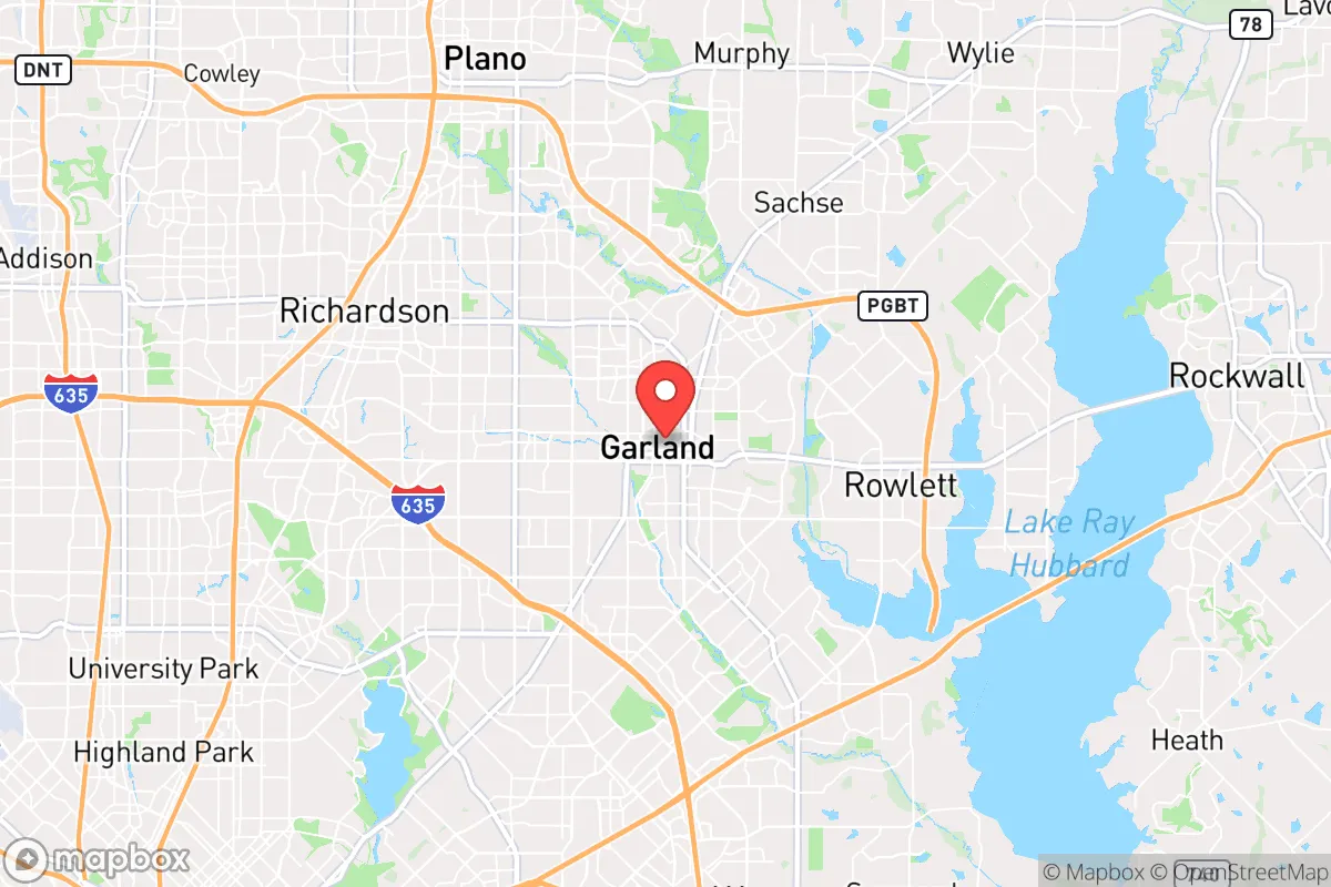
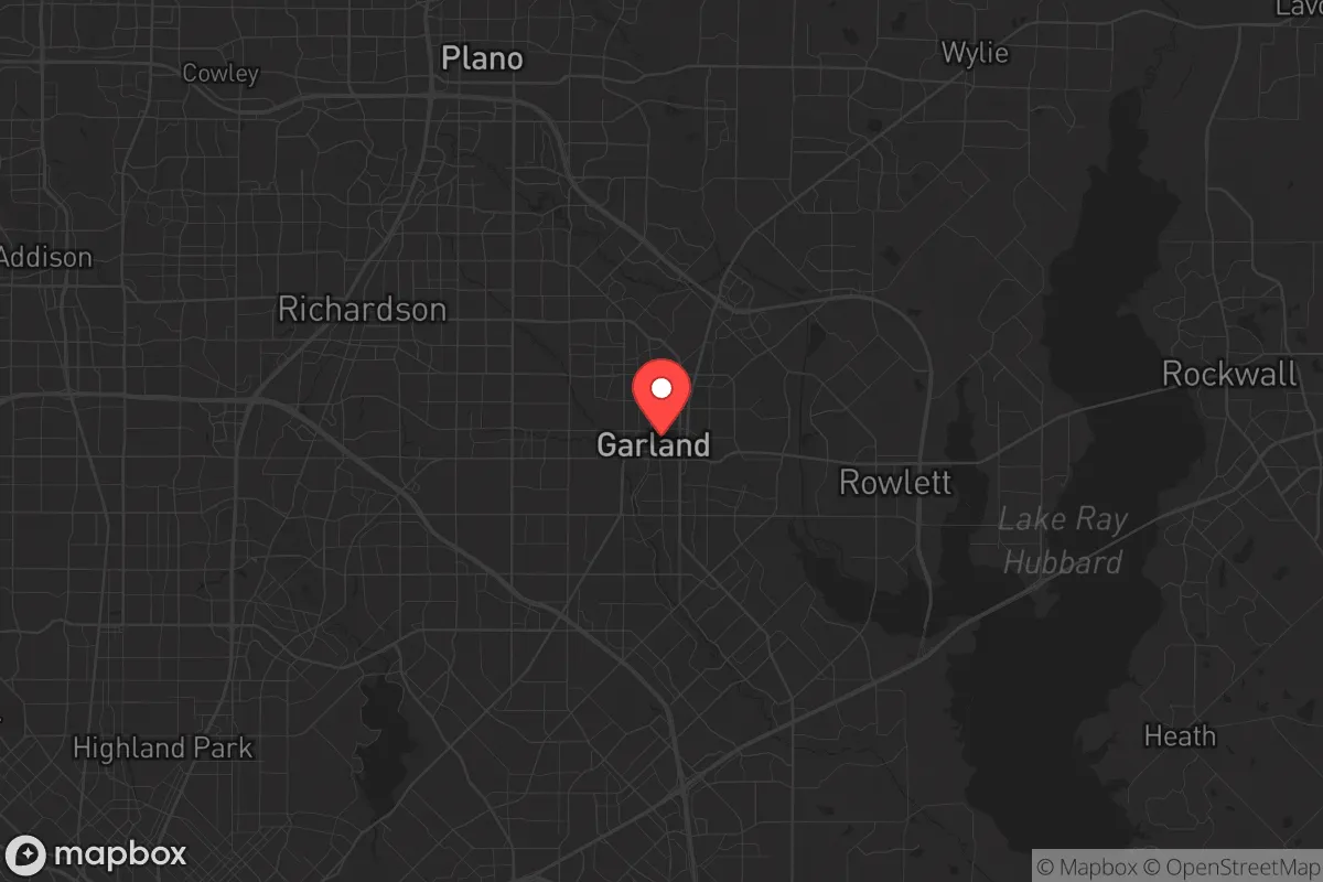
Strategic Assessment of Garland, TX
Multiple tactical vulnerabilities. Population density, target proximity, or disaster risk are likely compounding. A retreat property and exit planning is required.
What does the Strategic Assessment tell us?
Our Strategic Assessment grades tactical survivability of an area. Major population centers, military targets, fallout zones, natural disasters, and border exposure all drive risk — lower exposure means a more defensible position in a crisis.
This is heavily inspired by Joel Skousen's Strategic Relocation book. Highly recommended you checkout the book ($)What does this tell us?
Our Strategic Assessment grades tactical survivability of an area. Major population centers, military targets, fallout zones, natural disasters, and border exposure all drive risk — lower exposure means a more defensible position in a crisis.
This is heavily inspired by Joel Skousen's Strategic Relocation book. Highly recommended you checkout the book ($)Strategic Pillars

Key Distances
Regional Safe Places
Below is our recommended "safe zones" in Texas and the surrounding area based on our strategic heuristics. For most people, it's unrealistic to live in a “safe zone” full-time due to work, family or other personal reasons. They tend to be more rural. However, many of these areas are perfect for second homes and retreat properties that double as a vacation home or even a short-term rental.


Important Note: For informational purposes only. This does not mean nothing bad ever happens in the green zones. Please use common sense. This is based on public data and modeled with AI. We tried to take a conservative approach but mistakes happen. We update this regularly as new information becomes available.
Solar Generator Recommendations
Backup power matters more here than in safer locations. We've picked three solar generators across budgets and capacity tiers — start with the budget unit if you only need a few essentials, or step up if you want to run a fridge and HVAC for days at a time.

Jackery Portable Power Station Explorer 300
Budget OptionPower on the Go: Weighing only 11 lbs, it's convenient to set up and store with book-sized foldable solar panels

BLUETTI Portable Power Station AC180
Designed for both indoor and outdoor scenarios, AC180 is highly capable as it has a robost capacity and continuous output power.

EF ECOFLOW DELTA Pro Ultra Power Station
Upgraded PickEcoFlow DELTA Pro Ultra is a whole-home energy system designed to grow with your family. Integrated with the Smart Home Panel 2, it scales to meet your evolving energy needs — keeping your home powered, intelligent, and secure through every stage of life.
We earn a commission, at no additional cost to you.
Strategic Assessment Analysis
Garland, Texas, presents a mixed bag for the strategic relocator with a prepper mindset. Its position within the Dallas-Fort Worth metroplex offers immediate access to major infrastructure and economic resilience, but that same proximity to a dense urban core introduces significant vulnerabilities in a crisis scenario. For the conservative individual or family weighing long-term security against daily convenience, Garland demands a clear-eyed assessment of its trade-offs, particularly regarding its exposure to the fallout of a major metropolitan collapse.
Geographic position and natural advantages for long-term security
Garland sits roughly 15 miles northeast of downtown Dallas, placing it within the sprawling DFW metroplex but on its eastern fringe. This location provides a buffer from the immediate chaos of a city-center event while still allowing access to the region's economic engine during stable times. The area is part of the Blackland Prairie, a region of relatively flat, fertile land that historically supported agriculture. While most of Garland is now developed, the surrounding rural areas to the east and northeast—toward Rockwall, Royse City, and into Hunt County—offer potential retreat zones with more defensible terrain and lower population density. The Trinity River basin lies to the west, but Garland itself is not directly on the river, reducing flood risk compared to Dallas proper. The region's climate is a double-edged sword: hot summers and occasional severe weather (tornadoes, hail, ice storms) are the norm, but the lack of major seismic activity, hurricanes, or wildfires makes it a relatively stable environment for long-term habitation. The area's natural advantages are modest—no mountains, no major water bodies—but its position on the edge of a major metroplex provides a strategic foothold for those who can leverage it.
Risks, exposures, and proximity to fallout-relevant landmarks
The primary risk for a Garland-based prepper is its proximity to Dallas and the broader DFW metroplex, home to over 7 million people. In a scenario of civic unrest, economic collapse, or a mass casualty event, Garland would be directly in the path of population displacement and resource competition. The city is bisected by major highways—I-30, I-635, and US 75—which would become choke points for evacuation or supply movement. Garland is also within 20 miles of Dallas Love Field and DFW International Airport, both potential targets for terrorism or military operations. The city itself hosts a major rail yard and several industrial facilities, including chemical storage and manufacturing plants along the Trinity River corridor. While not a primary target, Garland's industrial base could become a secondary hazard if a major event disrupts containment systems. The presence of Lake Ray Hubbard to the east offers a water source, but it is also a recreational hub that could attract desperate crowds. For the survivalist, the key exposure is the sheer density of people within a 30-mile radius—any collapse in Dallas would turn Garland into a pressure cooker of refugees and resource scarcity.
Practical resilience for a relocator: food, water, energy, and defensibility
Garland's practical resilience is a study in contrasts. Water: The city draws from the North Texas Municipal Water District, which sources from Lake Lavon and Lake Ray Hubbard. In a grid-down scenario, these reservoirs would be contested resources. A prepper should plan for at least two weeks of stored water and a means to filter or treat from local sources, such as Rowlett Creek or the East Fork of the Trinity River. Food: Garland has a robust grocery infrastructure (Walmart, Kroger, H-E-B), but these would be stripped within hours of a crisis. Local gardening is possible with raised beds and drought-tolerant crops, but the clay soil and summer heat require serious investment. Community gardens exist but are limited. Energy: The grid is reliable in normal times, but Texas's independent grid (ERCOT) has proven vulnerable to extreme weather. Solar with battery backup is a viable option, as the region gets over 230 sunny days per year. Natural gas is widely available, but a propane backup generator is more practical for off-grid scenarios. Defensibility: Garland is a suburban grid of single-family homes, strip malls, and cul-de-sacs. This layout offers limited defensibility—neighbors are close, and escape routes are predictable. A home on a corner lot with a fenced backyard and a basement (rare in Texas) would be ideal, but most properties are exposed. The city's police force is well-funded, but in a widespread collapse, response times would stretch to hours or days. The best strategy is to harden a single-family home with reinforced doors, window film, and a secure room, while maintaining a bug-out vehicle ready for a rapid move east to less populated areas.
Overall, Garland is a viable but not ideal location for the strategic prepper. Its strengths—economic stability, infrastructure, and proximity to water—are offset by its vulnerability to urban contagion. For the conservative relocator who must stay near Dallas for work or family, Garland offers a reasonable compromise: a suburban foothold with a clear escape route to the east. But for those prioritizing long-term security over convenience, the smarter play is to look further out—toward the piney woods of East Texas or the hill country west of Fort Worth. Garland works as a staging ground, not a final redoubt. If you're willing to invest in hardening, stockpiling, and a solid bug-out plan, it can serve as a base of operations. Just don't mistake its suburban comfort for true resilience. The moment the lights go out in Dallas, Garland becomes a pressure point, not a sanctuary.
* Values derived from national, state, county, city and local statistics and may differ in a specific area. Last updated: 2026-05-03T20:32:46.000Z
Narrative content on this page is AI-generated and may contain mistakes. Verify any details that matter before acting on them.
ReloMaps may earn a commission from affiliate links at no extra cost to you.