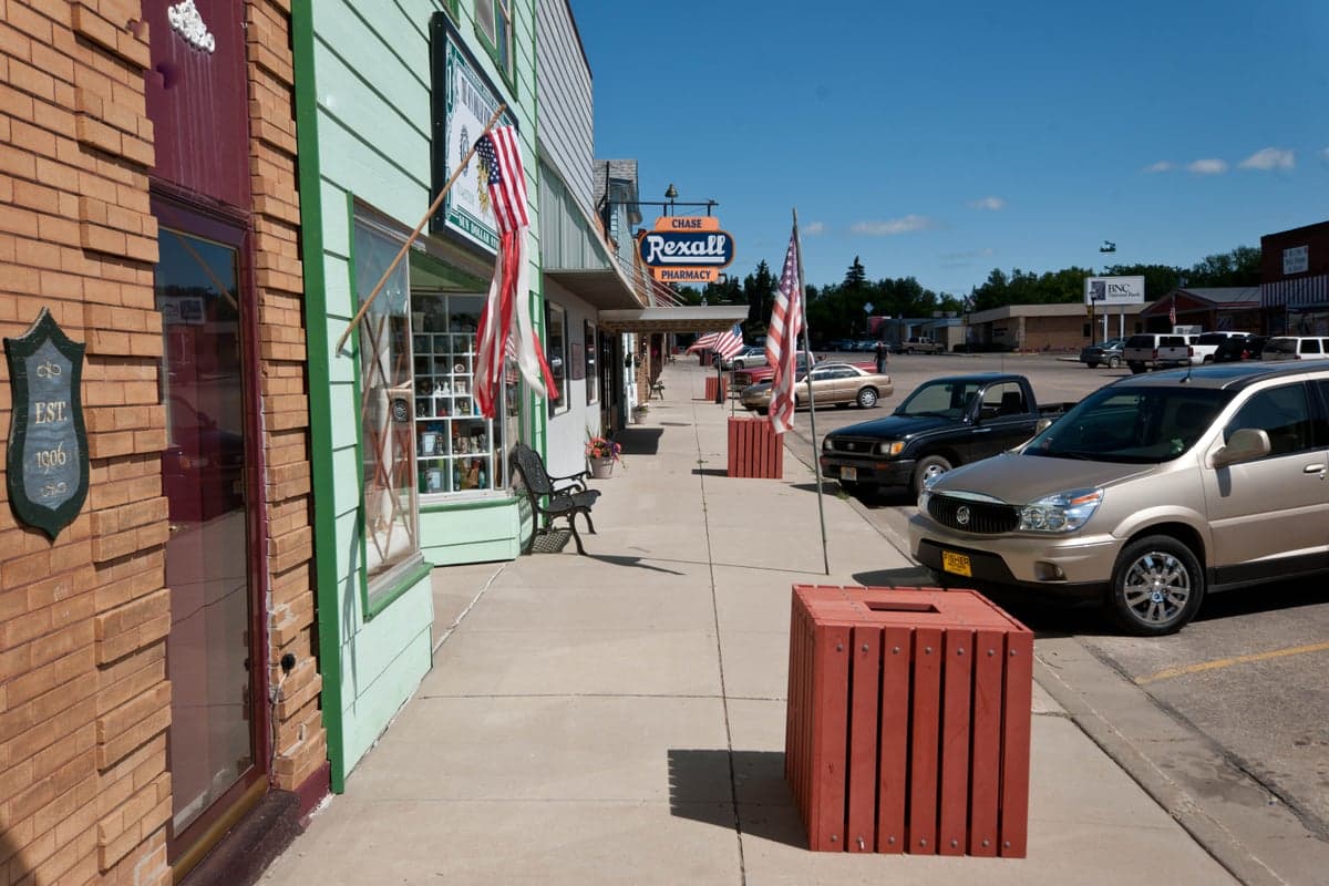
Photo: Wikipedia
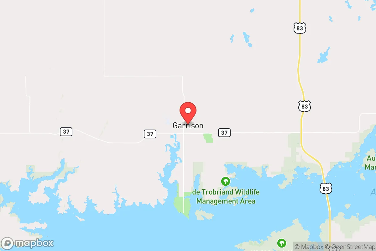
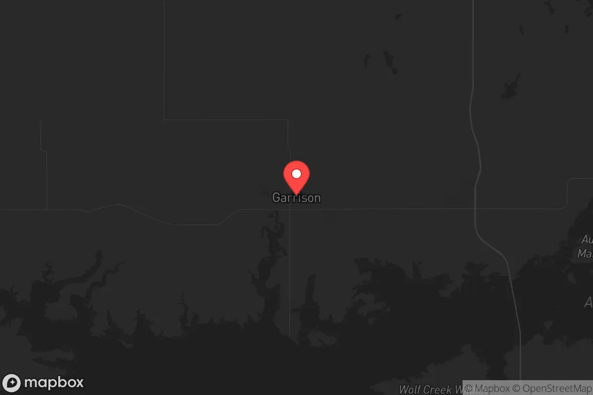
Strategic Assessment of Garrison, ND
Workable tactical position. Some exposure to population density or targets, but generally defensible in a crisis.
What does the Strategic Assessment tell us?
Our Strategic Assessment grades tactical survivability of an area. Major population centers, military targets, fallout zones, natural disasters, and border exposure all drive risk — lower exposure means a more defensible position in a crisis.
This is heavily inspired by Joel Skousen's Strategic Relocation book. Highly recommended you checkout the book ($)What does this tell us?
Our Strategic Assessment grades tactical survivability of an area. Major population centers, military targets, fallout zones, natural disasters, and border exposure all drive risk — lower exposure means a more defensible position in a crisis.
This is heavily inspired by Joel Skousen's Strategic Relocation book. Highly recommended you checkout the book ($)Strategic Pillars

Key Distances
Regional Safe Places
Below is our recommended "safe zones" in North Dakota and the surrounding area based on our strategic heuristics. For most people, it's unrealistic to live in a “safe zone” full-time due to work, family or other personal reasons. They tend to be more rural. However, many of these areas are perfect for second homes and retreat properties that double as a vacation home or even a short-term rental.
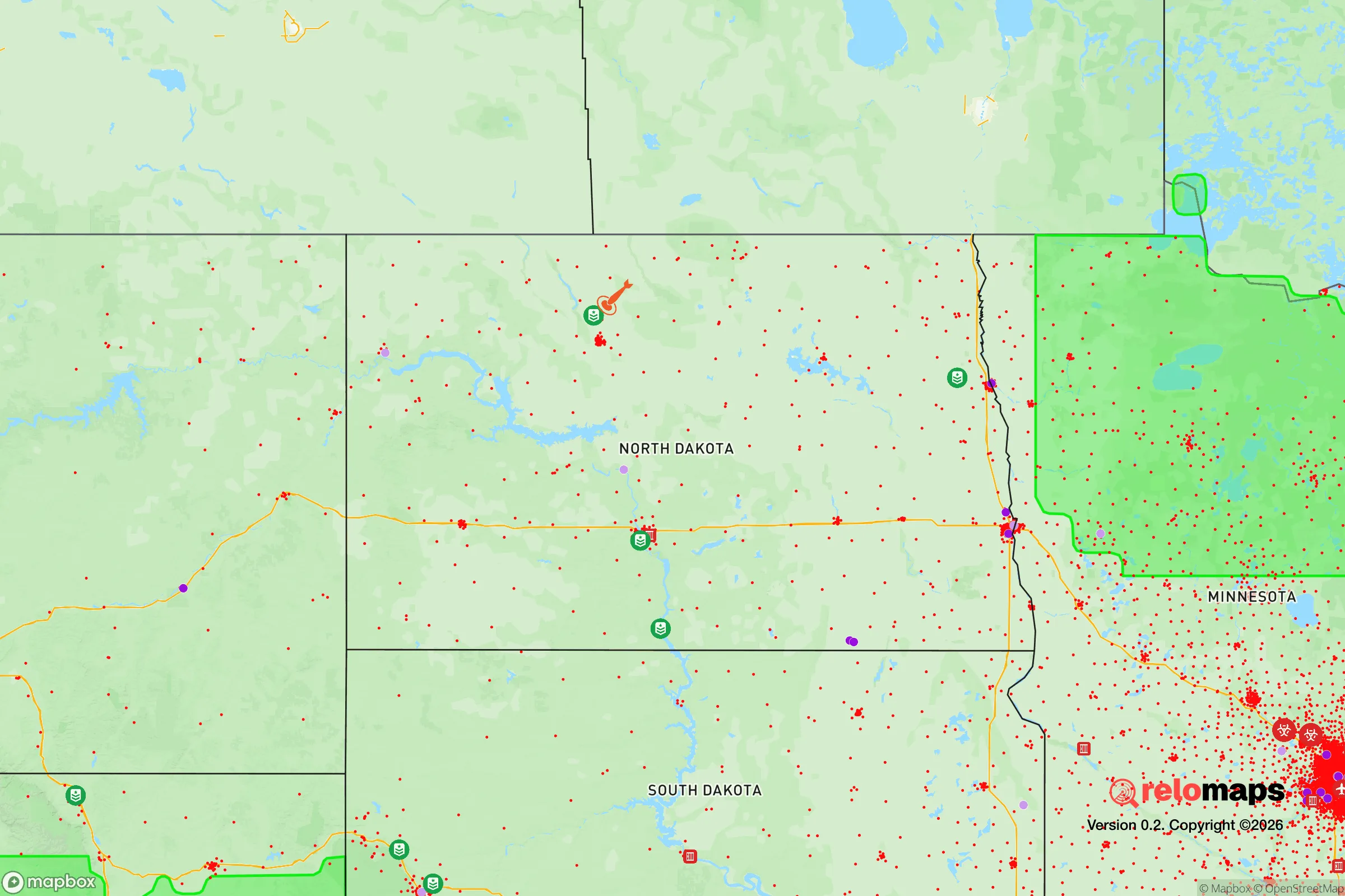
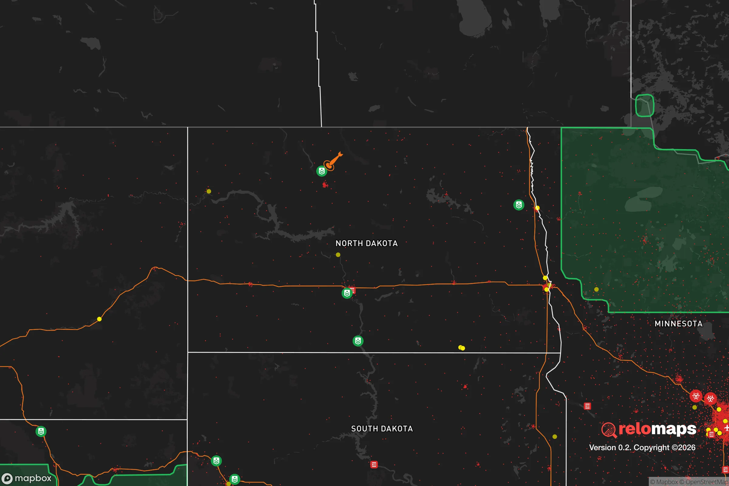
Important Note: For informational purposes only. This does not mean nothing bad ever happens in the green zones. Please use common sense. This is based on public data and modeled with AI. We tried to take a conservative approach but mistakes happen. We update this regularly as new information becomes available.
Solar Generator Recommendations
Backup power matters more here than in safer locations. We've picked three solar generators across budgets and capacity tiers — start with the budget unit if you only need a few essentials, or step up if you want to run a fridge and HVAC for days at a time.

Jackery Portable Power Station Explorer 300
Budget OptionPower on the Go: Weighing only 11 lbs, it's convenient to set up and store with book-sized foldable solar panels

BLUETTI Portable Power Station AC180
Designed for both indoor and outdoor scenarios, AC180 is highly capable as it has a robost capacity and continuous output power.

EF ECOFLOW DELTA Pro Ultra Power Station
Upgraded PickEcoFlow DELTA Pro Ultra is a whole-home energy system designed to grow with your family. Integrated with the Smart Home Panel 2, it scales to meet your evolving energy needs — keeping your home powered, intelligent, and secure through every stage of life.
We earn a commission, at no additional cost to you.
Strategic Assessment Analysis
Garrison, North Dakota, sits as a quiet outlier in a nation bracing for instability—a place where geographic isolation and a low-profile economy offer a genuine buffer against the cascading failures that preppers and conservative realists track. With a population hovering around 1,500 and a location on the northern edge of Lake Sakakawea, this town provides a rare combination of natural resource access and distance from the kind of population centers that become liabilities during civil unrest or infrastructure collapse. For a single individual or a family looking to step off the grid of vulnerability, Garrison presents a strategic baseline that demands serious consideration, though it is not without its own trade-offs.
Geographic position and natural advantages for long-term security
Garrison’s primary strategic asset is its position within the Missouri River watershed, specifically along the shores of Lake Sakakawea, one of the largest man-made reservoirs in the United States. This isn’t just a scenic feature—it’s a reliable, year-round freshwater source that can sustain a household or small community indefinitely, even if municipal systems fail. The surrounding landscape is flat to gently rolling prairie, offering long sightlines that make approach detection easier than in wooded or mountainous terrain. The town sits roughly 60 miles from Minot and 90 miles from Bismarck, placing it outside the immediate blast radius or panic zone of any major target, yet close enough to access regional medical care or supply runs if roads remain passable. The area’s low population density—McLean County has about 9 people per square mile—means fewer neighbors competing for resources during a crisis, and the local culture still retains a self-reliant, rural ethos that aligns with conservative preparedness values. Winters are harsh, with average January highs around 20°F, but that same climate acts as a natural deterrent to unprepared transient populations and limits the viability of large-scale refugee movement during cold months.
Risks, exposures, and proximity to fallout-relevant landmarks
No location is a fortress, and Garrison has specific vulnerabilities that a strategic relocator must weigh. The most obvious is the Garrison Dam, a massive earth-fill dam on the Missouri River located just a few miles south of town. While the dam provides hydroelectric power and irrigation, it also represents a single-point-of-failure risk. A catastrophic breach—whether from sabotage, earthquake, or structural neglect—would inundate downstream communities and could disrupt regional power grids for weeks. The dam is a critical infrastructure asset, which in a worst-case scenario makes it a potential target for state-actor sabotage or domestic terrorism. Additionally, the town lies roughly 150 miles from Minot Air Force Base, home to nuclear-capable B-52 bombers and missile silos scattered across the region. While this distance provides a buffer against a direct strike, fallout patterns from a nuclear event at the base or a missile field could reach Garrison depending on wind direction, particularly during the prevailing westerlies. The area also sits within the Bakken oil fields to the west, meaning rail lines and pipelines carrying crude oil pass through the region—a potential source of environmental contamination or secondary targeting during widespread unrest. For a prepper, these are manageable risks, but they require a plan for monitoring wind patterns and having a basement or below-ground shelter for fallout scenarios.
Practical resilience for a relocator: food, water, energy, and defensibility
Garrison’s practical resilience is where the town shines for a survivalist mindset. The local economy is anchored by agriculture—wheat, corn, soybeans, and cattle—which means food production is not an abstraction but a daily reality. A relocator with a few acres can tap into local grain co-ops, barter with neighboring farmers, or even lease pasture for livestock. The lake provides fishing and a potential source of protein that doesn’t rely on supply chains. Water is abundant, but it’s worth noting that well drilling is common in the area, and a private well with a hand pump or solar-powered pump offers true off-grid independence. Electricity comes from the dam and regional coal plants, but the grid is not immune to winter storms or cyberattacks; a backup generator with a propane or diesel tank is a standard precaution here, not a paranoid luxury. The town’s layout is compact, with a main street and residential blocks that are easy to patrol or defend in a grid-down scenario—no sprawling suburbs or choke points that invite looting. The local sheriff’s office is small, so community self-defense and neighborhood watch dynamics are more realistic than relying on rapid law enforcement response. For a single individual, a well-stocked rural property with a wood stove, a root cellar, and a reliable vehicle (preferably a 4x4 for winter roads) can sustain a comfortable, low-dependency lifestyle. Families will find that the local school system, while small, fosters tight-knit accountability—a stark contrast to the ideological battles playing out in larger districts.
In the overall strategic picture, Garrison, ND, offers a credible option for those who see the current trajectory of the country as unstable and want a location that balances isolation with access to critical resources. It is not a bug-out fantasy—it is a working-class prairie town where the fundamentals of survival are still practiced daily. The dam and the proximity to missile infrastructure are real concerns, but they are the kind of risks that can be mitigated with planning, unlike the existential vulnerabilities of living in a major metro area. For a conservative-leaning individual or family seeking a place to rebuild self-reliance, raise children away from cultural decay, and weather whatever comes next, Garrison deserves a spot on the short list. Just bring warm clothes, a good shovel, and a clear-eyed understanding that no place is perfect—but some places are a lot better than others.
* Values derived from national, state, county, city and local statistics and may differ in a specific area. Last updated: 2026-04-19T07:46:48.000Z
Narrative content on this page is AI-generated and may contain mistakes. Verify any details that matter before acting on them.
ReloMaps may earn a commission from affiliate links at no extra cost to you.