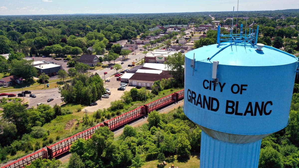
Photo: Wikipedia
Strategic Assessment of Grand Blanc, MI
Meaningful friction. Expect exposure to either population pressure, blast zones, or natural disaster risk. Consider buying a retreat property.
What does the Strategic Assessment tell us?
Our Strategic Assessment grades tactical survivability of an area. Major population centers, military targets, fallout zones, natural disasters, and border exposure all drive risk — lower exposure means a more defensible position in a crisis.
This is heavily inspired by Joel Skousen's Strategic Relocation book. Highly recommended you checkout the book ($)What does this tell us?
Our Strategic Assessment grades tactical survivability of an area. Major population centers, military targets, fallout zones, natural disasters, and border exposure all drive risk — lower exposure means a more defensible position in a crisis.
This is heavily inspired by Joel Skousen's Strategic Relocation book. Highly recommended you checkout the book ($)Strategic Pillars

Key Distances
Regional Safe Places
Below is our recommended "safe zones" in Michigan and the surrounding area based on our strategic heuristics. For most people, it's unrealistic to live in a “safe zone” full-time due to work, family or other personal reasons. They tend to be more rural. However, many of these areas are perfect for second homes and retreat properties that double as a vacation home or even a short-term rental.


Important Note: For informational purposes only. This does not mean nothing bad ever happens in the green zones. Please use common sense. This is based on public data and modeled with AI. We tried to take a conservative approach but mistakes happen. We update this regularly as new information becomes available.
Solar Generator Recommendations
Backup power matters more here than in safer locations. We've picked three solar generators across budgets and capacity tiers — start with the budget unit if you only need a few essentials, or step up if you want to run a fridge and HVAC for days at a time.

Jackery Portable Power Station Explorer 300
Budget OptionPower on the Go: Weighing only 11 lbs, it's convenient to set up and store with book-sized foldable solar panels

BLUETTI Portable Power Station AC180
Designed for both indoor and outdoor scenarios, AC180 is highly capable as it has a robost capacity and continuous output power.

EF ECOFLOW DELTA Pro Ultra Power Station
Upgraded PickEcoFlow DELTA Pro Ultra is a whole-home energy system designed to grow with your family. Integrated with the Smart Home Panel 2, it scales to meet your evolving energy needs — keeping your home powered, intelligent, and secure through every stage of life.
We earn a commission, at no additional cost to you.
Strategic Assessment Analysis
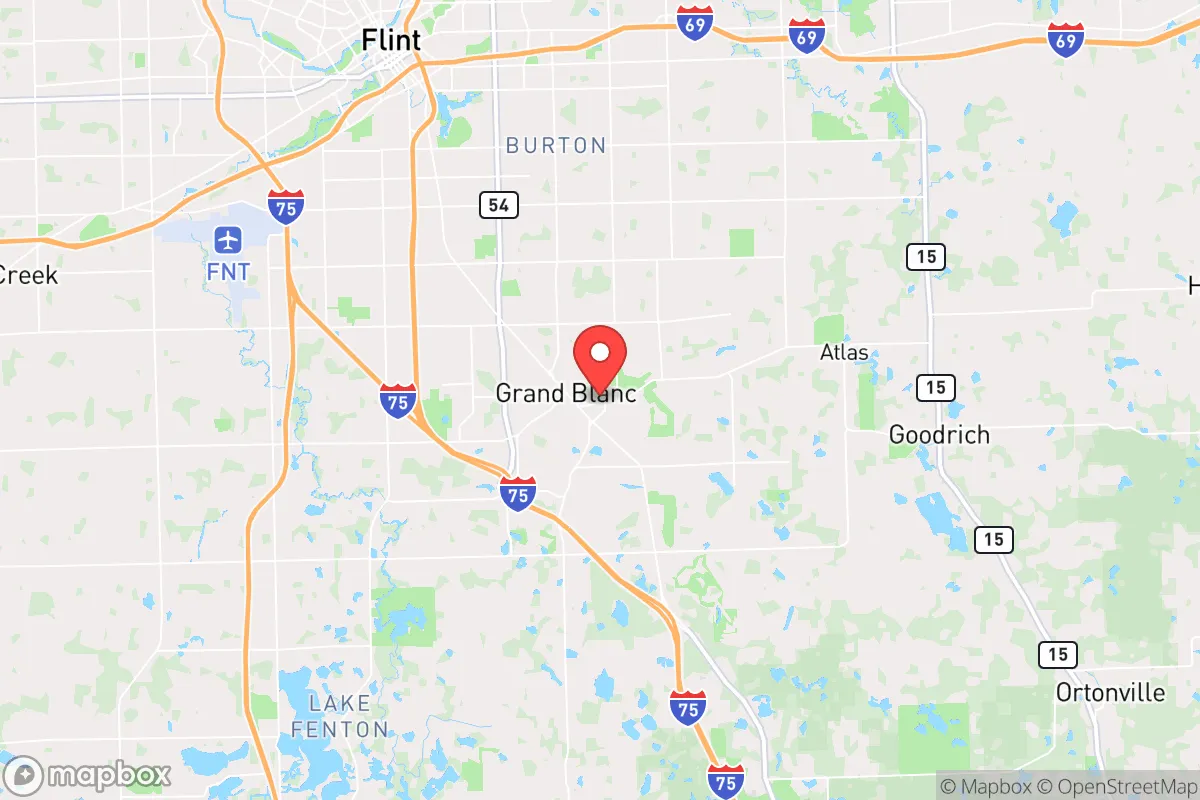
Grand Blanc, Michigan, offers a surprisingly resilient relocation option for those prioritizing disaster readiness and self-sufficiency, balancing proximity to a major metropolitan hub with a distinct geographic buffer. Located roughly 10 miles south of Flint and 60 miles northwest of Detroit, the area sits on the relatively stable, high-ground terrain of the Michigan Thumb, away from the state's major fault lines and flood-prone zones. For a conservative-leaning individual or family seeking a strategic base, Grand Blanc provides a defensible position with access to regional resources while maintaining a semi-rural character that supports practical preparedness.
Geographic position and natural advantages for disaster readiness
Grand Blanc's location on the Flint Ridge — a glacial moraine rising to about 830 feet above sea level — gives it a natural elevation advantage over much of southeastern Michigan. This higher ground reduces risks from the flooding that periodically affects communities along the Flint River and the Saginaw Bay watershed. The area's clay-loam soils drain well, making it less prone to the standing water and basement flooding common in lower-lying suburbs. The region also sits outside the primary tornado alley of the Midwest; while severe thunderstorms occur, the frequency of EF-2 or stronger tornadoes is notably lower than in states like Oklahoma or Kansas. Winters bring heavy snow and lake-effect bands from Lake Huron, but the terrain's gentle slopes and well-maintained county roads mean access is rarely cut off for more than a few hours. The natural buffer of state game areas and farmland to the south and west — including the 10,000-acre Holly State Recreation Area and the 5,000-acre Ortonville State Recreation Area — provides both a wildlife corridor and a physical separation from the densest population centers of Metro Detroit.
Risks, exposures, and proximity to fallout-relevant landmarks
The most significant risk for Grand Blanc relocators is its proximity to Flint and the I-75 corridor, a major transportation and industrial artery. Flint's water infrastructure crisis (2014-2019) exposed systemic vulnerabilities in municipal systems, and while Grand Blanc has its own well-based water supply, the city's water treatment plant draws from the same groundwater aquifer that serves much of Genesee County. A prolonged power outage or electromagnetic pulse event would disrupt pumping, making on-site water storage or a private well a critical consideration. The area lies about 45 miles from the Detroit Metropolitan Airport (DTW) and 50 miles from the Detroit River international border crossing, both potential targets for conventional or asymmetric attacks. The General Motors Flint Assembly plant and the Buick City complex (now largely demolished but historically a heavy industrial site) are within 15 miles, representing both an economic asset and a potential secondary target. For fallout concerns, Grand Blanc is roughly 65 miles from the Fermi 2 nuclear power plant in Newport, Michigan — outside the 10-mile emergency planning zone but within the 50-mile ingestion exposure pathway. A major release would require evacuation or sheltering, but the prevailing westerly winds would likely carry contamination toward Lake Erie, reducing direct impact. The area's distance from major military installations (Selfridge Air National Guard Base is 60 miles east) lowers its profile as a strategic target, though the I-75 and I-69 interchange at Flint makes it a potential chokepoint for military logistics.
Practical resilience for a relocator: food, water, energy, and defensibility
Grand Blanc's practical resilience is anchored in its semi-rural zoning and agricultural access. The surrounding Genesee County has over 1,200 farms, with a strong concentration of vegetable, dairy, and grain operations within a 20-minute drive. The Grand Blanc Farmers Market (May-October) and several year-round farm stands provide direct-to-consumer food sources, and the area's growing network of community-supported agriculture (CSA) programs — including the 100-acre Bishop's Farm and the 50-acre Rowe's Produce — allow residents to secure seasonal produce without relying on national supply chains. For water, the city's municipal supply is treated and reliable, but the average depth to groundwater is only 30-50 feet, making private well installation feasible for most properties. The area's annual precipitation of 32 inches supports rainwater catchment systems, though winter freezing requires indoor storage or heated collection. Energy resilience is mixed: DTE Energy's grid serves the area with above-average reliability for Michigan, but the region experiences 1-2 multi-day outages per year from ice storms or high winds. Solar potential is moderate (about 4.2 peak sun hours per day), and several local installers offer battery backup systems. Natural gas is widely available, and wood-burning stoves are common in older homes. For defensibility, Grand Blanc's layout as a classic Michigan "crossroads" town — centered at the intersection of M-54 (Saginaw Street) and Grand Blanc Road — creates natural chokepoints. The residential neighborhoods east of Saginaw Street are largely grid-patterned with multiple egress routes, while the western and southern subdivisions are more rural, with longer sightlines and fewer entry points. The Genesee County Sheriff's Office has a substation in Grand Blanc, and the city's own police department maintains a 24/7 presence, but response times in the outer townships can exceed 20 minutes. The Grand Blanc Community School District (7,000+ students) operates multiple facilities that could serve as community gathering points or emergency shelters, and the Grand Blanc High School has a backup generator for its gymnasium and cafeteria.
The overall strategic picture for Grand Blanc is one of moderate resilience with manageable trade-offs. It offers a genuine buffer from the highest-risk urban targets while retaining access to the medical, industrial, and logistical resources of the Flint/Detroit corridor. The area's natural advantages — elevation, soil quality, and agricultural access — are real but require active investment in private well water, backup power, and food storage to become meaningful. For a relocator who values community cohesion, school quality, and a lower cost of living (median home price around $275,000 in 2025), Grand Blanc is a solid choice. But it is not a remote retreat: the I-75 corridor's vulnerabilities, the Flint water legacy, and the moderate distance to nuclear and industrial targets mean that preparedness must be intentional, not assumed. The area's conservative-leaning culture and strong local governance (the city has a council-manager system with a history of fiscal restraint) align well with a self-reliant mindset, but the real test will be how individual households choose to build their own resilience within that framework.

* Values derived from national, state, county, city and local statistics and may differ in a specific area. Last updated: 2026-10-20T19:33:00.000Z
Narrative content on this page is AI-generated and may contain mistakes. Verify any details that matter before acting on them.
ReloMaps may earn a commission from affiliate links at no extra cost to you.

