
Photo: Wikipedia
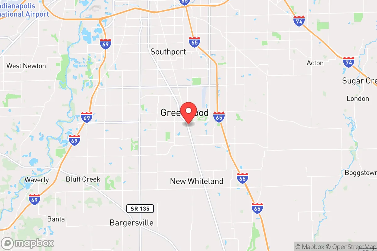
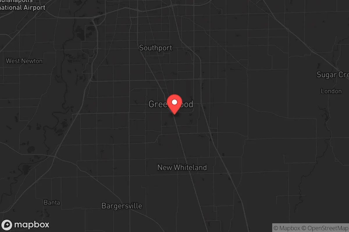
Strategic Assessment of Greenwood, IN
Multiple tactical vulnerabilities. Population density, target proximity, or disaster risk are likely compounding. A retreat property and exit planning is required.
What does the Strategic Assessment tell us?
Our Strategic Assessment grades tactical survivability of an area. Major population centers, military targets, fallout zones, natural disasters, and border exposure all drive risk — lower exposure means a more defensible position in a crisis.
This is heavily inspired by Joel Skousen's Strategic Relocation book. Highly recommended you checkout the book ($)What does this tell us?
Our Strategic Assessment grades tactical survivability of an area. Major population centers, military targets, fallout zones, natural disasters, and border exposure all drive risk — lower exposure means a more defensible position in a crisis.
This is heavily inspired by Joel Skousen's Strategic Relocation book. Highly recommended you checkout the book ($)Strategic Pillars

Key Distances
Regional Safe Places
Below is our recommended "safe zones" in Indiana and the surrounding area based on our strategic heuristics. For most people, it's unrealistic to live in a “safe zone” full-time due to work, family or other personal reasons. They tend to be more rural. However, many of these areas are perfect for second homes and retreat properties that double as a vacation home or even a short-term rental.

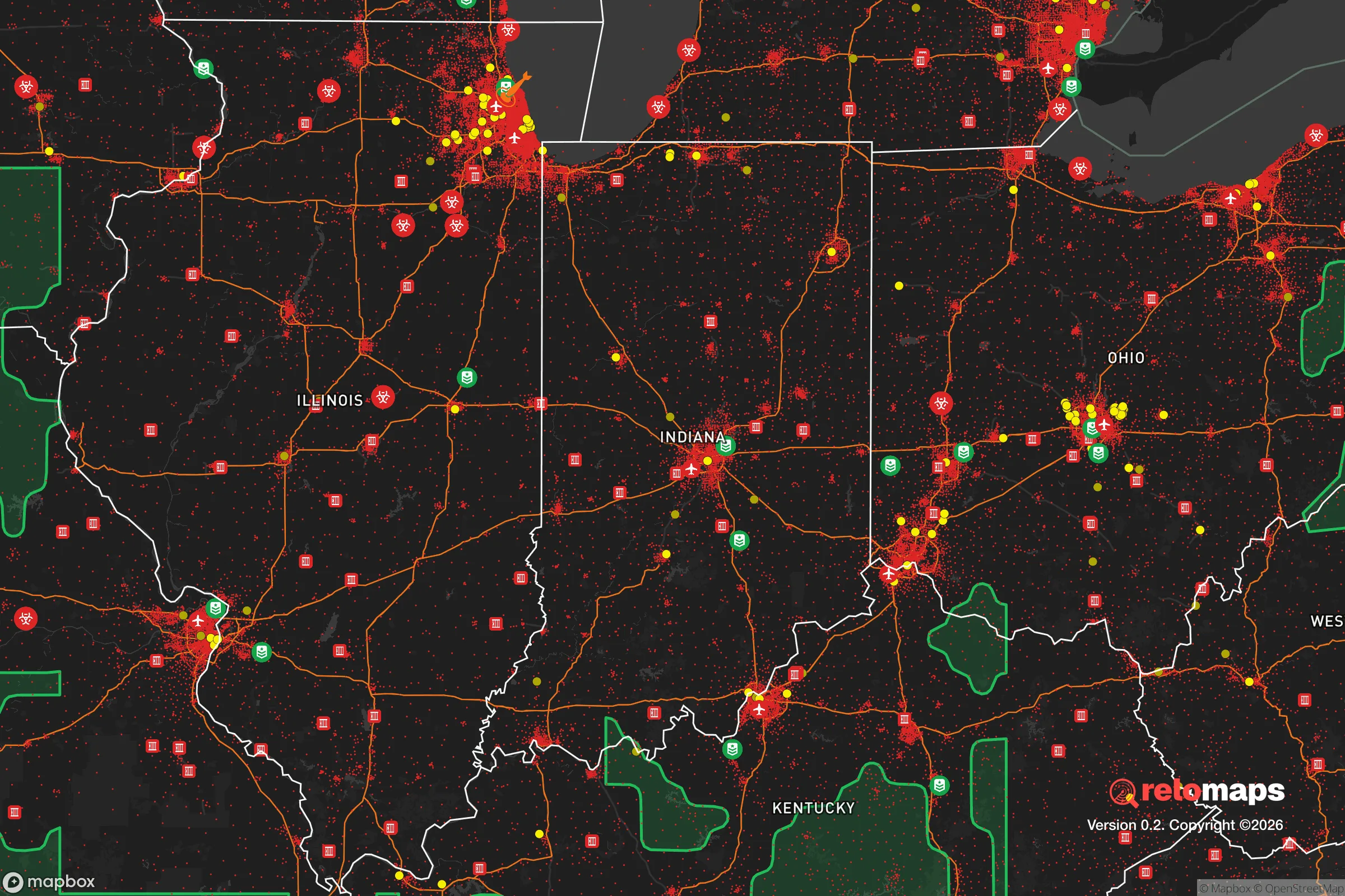
Important Note: For informational purposes only. This does not mean nothing bad ever happens in the green zones. Please use common sense. This is based on public data and modeled with AI. We tried to take a conservative approach but mistakes happen. We update this regularly as new information becomes available.
Solar Generator Recommendations
Backup power matters more here than in safer locations. We've picked three solar generators across budgets and capacity tiers — start with the budget unit if you only need a few essentials, or step up if you want to run a fridge and HVAC for days at a time.

Jackery Portable Power Station Explorer 300
Budget OptionPower on the Go: Weighing only 11 lbs, it's convenient to set up and store with book-sized foldable solar panels

BLUETTI Portable Power Station AC180
Designed for both indoor and outdoor scenarios, AC180 is highly capable as it has a robost capacity and continuous output power.

EF ECOFLOW DELTA Pro Ultra Power Station
Upgraded PickEcoFlow DELTA Pro Ultra is a whole-home energy system designed to grow with your family. Integrated with the Smart Home Panel 2, it scales to meet your evolving energy needs — keeping your home powered, intelligent, and secure through every stage of life.
We earn a commission, at no additional cost to you.
Strategic Assessment Analysis
Greenwood, Indiana, sits in a position that demands a hard look from anyone serious about strategic relocation in an era of increasing instability. While its proximity to Indianapolis offers economic convenience, that same closeness introduces vulnerabilities that a prepper or survivalist cannot ignore. The town’s resilience is a mixed bag: it benefits from Indiana’s relatively stable interior geography and robust infrastructure, but its location within the Indianapolis metropolitan area means it is directly in the path of any cascading failure—whether from civil unrest, a grid-down event, or a mass casualty incident originating from the city’s core. For a conservative-leaning individual or family weighing long-term security, Greenwood requires a clear-eyed assessment of trade-offs, not wishful thinking.
Geographic position and natural advantages for long-term security
Greenwood’s geographic placement offers a few genuine strategic assets. It sits in central Indiana, roughly 12 miles south of downtown Indianapolis, placing it in a zone that benefits from the region’s relatively flat, fertile terrain and moderate climate—no hurricane zones, no earthquake faults, and no wildfire corridors. The area is part of the White River watershed, which provides surface water sources, though these are not pristine and require treatment. The land around Greenwood is predominantly agricultural, meaning that in a prolonged disruption, local food production potential is higher than in dense urban cores. The town itself is built on a grid that allows for multiple egress routes, including I-65, US 31, and several state highways, which is critical if you need to exfiltrate quickly. However, do not mistake this for a remote redoubt. Greenwood is a suburb, not a bunker. Its natural advantages are relative—better than downtown Indy, worse than rural Johnson County or points farther south. The lack of significant topographic barriers (hills, forests, rivers that are difficult to cross) means that defensive positions are harder to establish if things go sideways. For a relocator, the key takeaway is that Greenwood works as a staging ground, not a final stand location.
Risks, exposures, and proximity to fallout-relevant landmarks
This is where the analysis gets uncomfortable. Greenwood’s primary strategic weakness is its proximity to Indianapolis, a major population center with all the associated risks. In a scenario involving civil unrest, mass casualty events, or a coordinated attack, Indianapolis is a high-value target. The city hosts a major international airport (IND), several federal buildings, a large convention center, and critical transportation hubs. A detonation or dirty bomb event at any of these locations would place Greenwood within the immediate fallout zone, depending on wind patterns. Additionally, the area is within 50 miles of the Muscatatuck Urban Training Center, a military facility that could become a focal point in a crisis. The presence of I-65 and I-70 means that any evacuation or refugee flow from Chicago, Louisville, or Cincinnati will pass through or near Greenwood, creating choke points and potential conflict zones. The town’s own infrastructure—a single major hospital (Franciscan Health Indianapolis, about 10 miles north), a police department that is well-funded but small relative to the population, and a fire department that relies on mutual aid—would be overwhelmed in a mass casualty event. For the prepper, the calculus is simple: Greenwood is close enough to the blast radius to be dangerous, but far enough to offer a window for action. You need a plan for immediate evacuation or shelter-in-place, and you must assume that local services will be non-functional for days or weeks.
Practical resilience for a relocator: food, water, energy, and defensibility
For a family or individual looking to establish a resilient household in Greenwood, the practicalities are manageable but require deliberate investment. Food security is a mixed picture. The town has multiple grocery chains (Kroger, Meijer, Walmart), but these are just-in-time inventory operations that will empty within 48 hours of a crisis. Local farmers’ markets exist but are seasonal and small-scale. The better play is to establish relationships with farms in Johnson County—there are several within a 20-minute drive that sell direct to consumers. Water is a concern. Greenwood draws its municipal water from the White River and groundwater wells, but the treatment plant is vulnerable to power loss and contamination. A well on your property is a major advantage, but most suburban lots in Greenwood do not have one. You should budget for a Berkey filter or similar gravity-fed system, plus at least a 55-gallon drum of stored water per person. Energy is a weak link. The grid is aging and subject to rolling blackouts during peak demand. Solar with battery backup is feasible—Indiana has decent insolation—but homeowners’ associations (HOAs) in some Greenwood neighborhoods restrict panel placement. A dual-fuel generator is a more immediate solution. Defensibility is the hardest factor. Greenwood’s suburban layout—cul-de-sacs, open yards, and a dense street network—makes it difficult to secure a perimeter. A house on a corner lot or near a major road is a liability. Look for properties with a fenced backyard, a basement (for shelter), and minimal sightlines from the street. The town’s police force is professional but cannot protect every home in a widespread event. Your best defense is a low profile, a well-stocked pantry, and a network of like-minded neighbors. Do not expect the government to save you.
The overall strategic picture for Greenwood is one of calculated risk. It is not a survivalist paradise, nor is it a death trap. For a conservative-leaning relocator who values economic opportunity and community stability but is unwilling to go fully off-grid, Greenwood offers a workable middle ground. The key is to treat it as a base of operations, not a fortress. You can work in Indianapolis, send your kids to decent schools, and build a life here—but you must also maintain a bug-out bag, a vehicle with a full tank of gas, and a destination plan for when the city lights go out. The town’s resilience is directly proportional to your own preparation. If you are looking for a place that will protect you without effort, look elsewhere. If you are willing to put in the work, Greenwood can be a solid anchor in an unstable world. Just keep your eyes open and your supplies stocked.
* Values derived from national, state, county, city and local statistics and may differ in a specific area. Last updated: 2026-04-22T09:22:53.000Z
Narrative content on this page is AI-generated and may contain mistakes. Verify any details that matter before acting on them.
ReloMaps may earn a commission from affiliate links at no extra cost to you.