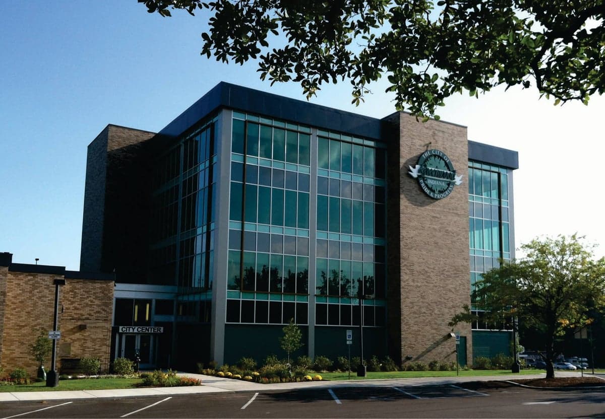
Photo: Wikipedia
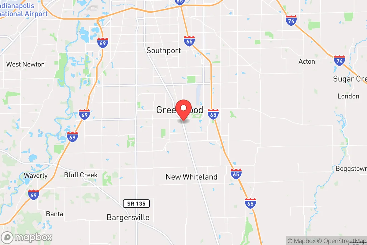
Demographics of Greenwood, IN
Affluence Level in Greenwood, IN
A middle-class area roughly in line with national averages across income, home values, education, and employment.
People of Greenwood, IN
The people of Greenwood, Indiana today form a predominantly white, middle-to-upper-middle-class suburban population of 64,237, marked by a notably high concentration of Indian-subcontinent families (5.3%) alongside smaller East/Southeast Asian (3.0%) and Hispanic (7.3%) communities. The city’s character is family-oriented and politically moderate-to-conservative, with a 31.0% college-educated rate and a foreign-born share of just 4.8%—lower than many Indianapolis suburbs. Distinctive identity markers include a strong local sports culture, a historic downtown that has resisted strip-mall homogenization, and a reputation as a safe, affordable alternative to the northern suburbs of Carmel and Fishers.
How the city was settled and grew
Greenwood was platted in 1823 as a small farming crossroads, drawing its earliest white settlers from Kentucky and Ohio via land grants in the newly opened Indiana Territory. The arrival of the Jeffersonville, Madison and Indianapolis Railroad in the 1850s turned the village into a shipping point for grain and livestock, and the population grew slowly through the 19th century as German and Irish immigrants arrived to work on the railroad and in local mills. These early waves settled in what is now Old Town Greenwood, the original grid of streets around Main Street and Madison Avenue, where many 19th-century homes still stand. By 1900, the town had fewer than 1,000 residents, and it remained a quiet agricultural service center until the post-World War II era. The first major suburban wave came in the 1950s and 1960s, when white families from Indianapolis—many of them second- and third-generation German and Irish descent—moved south along the Madison Avenue corridor into new subdivisions like Greenwood Estates and Westwood, drawn by cheap land and the promise of new schools.
Modern era (post-1965)
The 1965 Hart-Cellar Act had a modest direct effect on Greenwood, as the city’s foreign-born share remains low at 4.8%. Instead, the post-1965 story is one of domestic in-migration: the completion of Interstate 65 in the 1970s turned Greenwood into a bedroom community for Indianapolis, and the population exploded from 11,000 in 1970 to over 40,000 by 2000. The dominant domestic wave was white middle-class families from the Indianapolis south side and rural Johnson County, who filled subdivisions like Stonegate and Worthington in the 1980s and 1990s. The most notable ethnic shift began in the 2000s, when Indian-subcontinent professionals—many working in IT, healthcare, and logistics at companies like Eli Lilly and Cummins—began settling in Greenwood’s newer developments, particularly Waters Edge and the Greenwood Village area near County Line Road. This Indian community is distinct from the smaller East/Southeast Asian population (3.0%), which is concentrated in the University Park area near the Greenwood Park Mall. The Hispanic population (7.3%) grew steadily through the 2000s and 2010s, largely from Mexican and Central American families working in construction, landscaping, and the service industry, and is most visible in the South Greenwood neighborhoods around Fry Road and Smith Valley Road. The Black population (5.5%) remains relatively small and is dispersed across the city, with no single dominant neighborhood.
The future
Greenwood’s population is projected to continue growing at a moderate pace, likely reaching 70,000–75,000 by 2040, driven by continued suburban spillover from Indianapolis and the expansion of the I-65 corridor. The city is not homogenizing into a single demographic bloc; rather, it is tribalizing into distinct enclaves. The Indian-subcontinent community is growing faster than any other ethnic group and is likely to reach 7–8% of the population by 2035, with new arrivals settling in the same southwestern subdivisions where earlier Indian families bought homes. The East/Southeast Asian population is plateauing, as most families are now second-generation and assimilating into the broader white-collar middle class. The Hispanic share is growing slowly but steadily, driven by family reunification and births, and is likely to reach 9–10% by 2040. The white population, while still the majority at 75.4%, is aging and declining as a share, as younger white families increasingly choose newer exurban developments in Bargersville and Whiteland. The Black population is expected to remain stable at around 5–6%, as Greenwood has not attracted the same level of Black in-migration as the northern suburbs.
For someone moving in now, Greenwood is becoming a more diverse, more stratified suburb where neighborhood choice increasingly correlates with ethnicity and income. The city remains safe, family-oriented, and politically moderate-to-conservative, but the old image of a uniformly white, working-class town is giving way to a patchwork of distinct communities—Indian professionals in Waters Edge, Hispanic families in South Greenwood, and white empty-nesters in Old Town—each with its own institutions and social networks. The bottom line: Greenwood is a solid, stable choice for a conservative-leaning family or individual who values affordability and safety, but it is no longer the monoculture it was thirty years ago.
* Values derived from national, state, county, city and local statistics and may differ in a specific area. Last updated: 2026-04-22T09:22:53.000Z
Narrative content on this page is AI-generated and may contain mistakes. Verify any details that matter before acting on them.
ReloMaps may earn a commission from affiliate links at no extra cost to you.