
Photo: Wikipedia
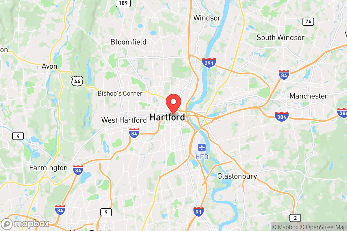
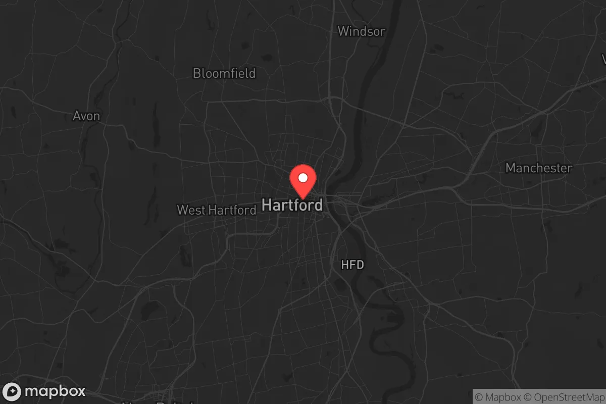
Strategic Assessment of Hartford, CT
Multiple tactical vulnerabilities. Population density, target proximity, or disaster risk are likely compounding. A retreat property and exit planning is required.
What does the Strategic Assessment tell us?
Our Strategic Assessment grades tactical survivability of an area. Major population centers, military targets, fallout zones, natural disasters, and border exposure all drive risk — lower exposure means a more defensible position in a crisis.
This is heavily inspired by Joel Skousen's Strategic Relocation book. Highly recommended you checkout the book ($)What does this tell us?
Our Strategic Assessment grades tactical survivability of an area. Major population centers, military targets, fallout zones, natural disasters, and border exposure all drive risk — lower exposure means a more defensible position in a crisis.
This is heavily inspired by Joel Skousen's Strategic Relocation book. Highly recommended you checkout the book ($)Strategic Pillars

Key Distances
Regional Safe Places
Below is our recommended "safe zones" in Connecticut and the surrounding area based on our strategic heuristics. For most people, it's unrealistic to live in a “safe zone” full-time due to work, family or other personal reasons. They tend to be more rural. However, many of these areas are perfect for second homes and retreat properties that double as a vacation home or even a short-term rental.


Important Note: For informational purposes only. This does not mean nothing bad ever happens in the green zones. Please use common sense. This is based on public data and modeled with AI. We tried to take a conservative approach but mistakes happen. We update this regularly as new information becomes available.
Solar Generator Recommendations
Backup power matters more here than in safer locations. We've picked three solar generators across budgets and capacity tiers — start with the budget unit if you only need a few essentials, or step up if you want to run a fridge and HVAC for days at a time.

Jackery Portable Power Station Explorer 300
Budget OptionPower on the Go: Weighing only 11 lbs, it's convenient to set up and store with book-sized foldable solar panels

BLUETTI Portable Power Station AC180
Designed for both indoor and outdoor scenarios, AC180 is highly capable as it has a robost capacity and continuous output power.

EF ECOFLOW DELTA Pro Ultra Power Station
Upgraded PickEcoFlow DELTA Pro Ultra is a whole-home energy system designed to grow with your family. Integrated with the Smart Home Panel 2, it scales to meet your evolving energy needs — keeping your home powered, intelligent, and secure through every stage of life.
We earn a commission, at no additional cost to you.
Strategic Assessment Analysis
Hartford, Connecticut, presents a complex strategic picture for the conservative prepper. On one hand, its position as a state capital and regional economic hub offers certain institutional advantages; on the other, its deep-blue politics, dense urban core, and proximity to major population centers create significant vulnerabilities that demand careful consideration. The city’s resilience is not found in its immediate surroundings but in its potential as a staging point into the more defensible rural terrain of northern Connecticut and western Massachusetts, provided you have the resources and exit plan to leverage that geography. For a single individual or family willing to operate with a low profile and maintain a prepared vehicle, Hartford can serve as a functional base for work and supply runs, but it is not a place to hunker down during a crisis.
Geographic position and natural advantages for strategic relocation
Hartford sits in the Connecticut River Valley, a broad, fertile corridor that has historically been a breadbasket for the region. The Connecticut River itself is a major freshwater artery, providing a reliable water source and potential transportation route if roads become impassable. The valley’s agricultural soil is among the best in New England, meaning local farms—many of which are still operational in surrounding towns like Glastonbury, South Windsor, and East Hartford—can supply fresh produce, dairy, and meat. The city is roughly 40 miles from the Long Island Sound, giving access to coastal resources without the direct exposure of a shoreline property. To the north and west, the terrain rises into the Litchfield Hills and the Berkshires, offering elevation, forest cover, and natural chokepoints for anyone looking to retreat from population centers. The presence of Bradley International Airport (BDL) 15 miles north is a double-edged sword: it provides logistical connectivity in normal times but becomes a target for evacuation or military staging during a national emergency. The key advantage here is that Hartford sits at the intersection of Interstates 84 and 91, major highways that can be used for rapid egress, but these same routes will clog instantly during an evacuation—so a secondary route plan using state roads like Route 44 or Route 202 is essential.
Risks, exposures, and proximity to fallout-relevant landmarks
Hartford’s biggest liability is its density and political climate. The city proper has about 120,000 residents, but the greater metropolitan area pushes past 1.2 million, creating a massive target for civil unrest, supply chain disruption, and disease spread. The city is a deep-blue stronghold—Hartford County voted +39 for Biden in 2020—and local governance has prioritized progressive policies that may not align with a prepper’s need for self-reliance, such as restrictive firearm laws (Connecticut has an assault weapons ban, magazine capacity limits, and a permit-to-purchase system). During a crisis, expect law enforcement to be stretched thin, with state resources diverted to the larger population centers of New Haven and Bridgeport. Fallout-relevant landmarks include the Pratt & Whitney headquarters in East Hartford (a major defense contractor and potential target), the Connecticut State Capitol, and the Hartford Healthcare system’s main campus, which could become a focal point for mass casualty events. The city is also within 100 miles of New York City and Boston, meaning any major event in those metros will send waves of refugees north along I-91 and I-84. The Connecticut River itself poses a flood risk—the 1936 and 1955 floods devastated the city, and climate models suggest increased precipitation could make similar events more likely. For a prepper, the takeaway is clear: Hartford is not a place to ride out a long-term crisis, but it can be a useful resupply and information hub if you maintain a low profile and have a bug-out location in the rural north or west.
Practical resilience for a relocator: food, water, energy, and defensibility
For daily life, Hartford offers decent access to supplies. There are multiple grocery chains (Stop & Shop, Big Y, Aldi) and big-box stores (Walmart, Home Depot, Lowe’s) within a 15-minute drive, but these will be stripped bare within hours of a crisis announcement. The city’s water supply comes from the Hartford Metropolitan District Commission (MDC), which draws from the Barkhamsted Reservoir and the Nepaug Reservoir—both in the rural northwest. This is a relatively secure source, but the treatment and distribution infrastructure is vulnerable to sabotage or cyberattack. A prepper should have a Berkey filter or similar system and a backup supply of purification tablets, as tap water may be compromised during a grid-down scenario. Energy reliability is average: Eversource provides electricity, and outages are common during winter storms (Nor’easters) and summer thunderstorms. Solar is viable but requires battery storage to be useful during grid failures, and Connecticut’s net metering policies are favorable but subject to change. Natural gas is available in the city and inner suburbs, but rural areas rely on propane or heating oil—plan accordingly. Defensibility is poor within the city limits: dense housing, limited sightlines, and a high population density make it impossible to secure a perimeter. The better play is to rent or buy in a suburban ring town like Simsbury, Avon, or Farmington, where you get larger lots, better schools, and easier access to rural escape routes. These towns also have lower crime rates and more like-minded neighbors, which is critical for building a mutual assistance network. For a single person or family, the ideal setup is a modest home with a basement for storage, a wood stove for heat, and a well for water—properties that exist in the surrounding towns but come at a premium (median home prices in Farmington are around $400,000, while Hartford proper is under $200,000 but with far higher crime and lower quality of life).
The overall strategic picture for Hartford is that of a high-risk, medium-reward location for the prepared relocator. It offers excellent access to water, fertile land, and multiple escape routes, but its political environment, population density, and proximity to major targets make it unsuitable as a long-term survival retreat. The smartest approach is to treat Hartford as a base of operations for work and supply gathering, while maintaining a fully stocked bug-out vehicle and a pre-planned route to a rural property in the Litchfield Hills or the Berkshires. If you can afford the higher cost of living and navigate Connecticut’s restrictive gun laws, the surrounding towns provide a reasonable quality of life with decent schools and low crime. But if the goal is true self-sufficiency and minimal exposure to civil unrest, look further north—Vermont or New Hampshire offer better legal protections, lower population density, and a more aligned political culture. Hartford is a stepping stone, not a destination, for the serious prepper.
* Values derived from national, state, county, city and local statistics and may differ in a specific area. Last updated: 2026-04-24T11:51:31.000Z
Narrative content on this page is AI-generated and may contain mistakes. Verify any details that matter before acting on them.
ReloMaps may earn a commission from affiliate links at no extra cost to you.