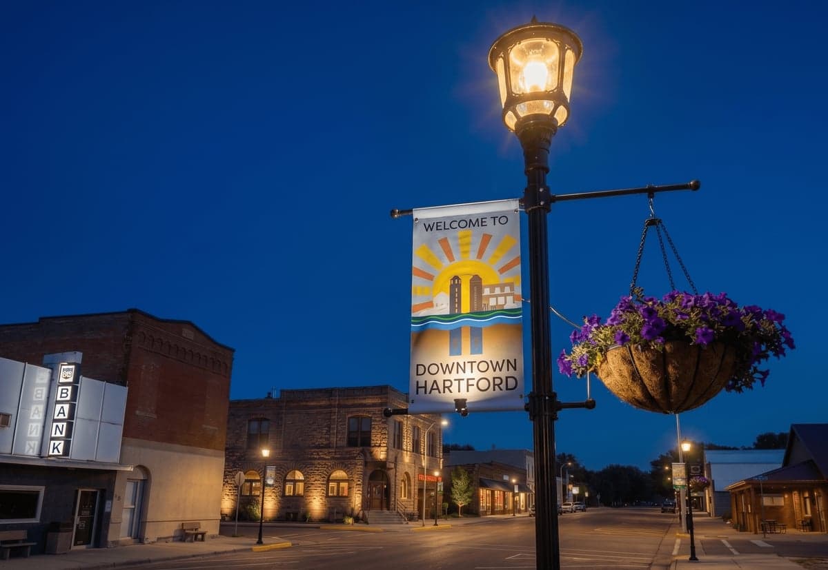
Strategic Assessment of Hartford, SD
Workable tactical position. Some exposure to population density or targets, but generally defensible in a crisis.
What does the Strategic Assessment tell us?
Our Strategic Assessment grades tactical survivability of an area. Major population centers, military targets, fallout zones, natural disasters, and border exposure all drive risk — lower exposure means a more defensible position in a crisis.
This is heavily inspired by Joel Skousen's Strategic Relocation book. Highly recommended you checkout the book ($)What does this tell us?
Our Strategic Assessment grades tactical survivability of an area. Major population centers, military targets, fallout zones, natural disasters, and border exposure all drive risk — lower exposure means a more defensible position in a crisis.
This is heavily inspired by Joel Skousen's Strategic Relocation book. Highly recommended you checkout the book ($)Strategic Pillars

Key Distances
Regional Safe Places
Below is our recommended "safe zones" in South Dakota and the surrounding area based on our strategic heuristics. For most people, it's unrealistic to live in a “safe zone” full-time due to work, family or other personal reasons. They tend to be more rural. However, many of these areas are perfect for second homes and retreat properties that double as a vacation home or even a short-term rental.


Important Note: For informational purposes only. This does not mean nothing bad ever happens in the green zones. Please use common sense. This is based on public data and modeled with AI. We tried to take a conservative approach but mistakes happen. We update this regularly as new information becomes available.
Solar Generator Recommendations
Backup power matters more here than in safer locations. We've picked three solar generators across budgets and capacity tiers — start with the budget unit if you only need a few essentials, or step up if you want to run a fridge and HVAC for days at a time.

Jackery Portable Power Station Explorer 300
Budget OptionPower on the Go: Weighing only 11 lbs, it's convenient to set up and store with book-sized foldable solar panels

BLUETTI Portable Power Station AC180
Designed for both indoor and outdoor scenarios, AC180 is highly capable as it has a robost capacity and continuous output power.

EF ECOFLOW DELTA Pro Ultra Power Station
Upgraded PickEcoFlow DELTA Pro Ultra is a whole-home energy system designed to grow with your family. Integrated with the Smart Home Panel 2, it scales to meet your evolving energy needs — keeping your home powered, intelligent, and secure through every stage of life.
We earn a commission, at no additional cost to you.
Strategic Assessment Analysis
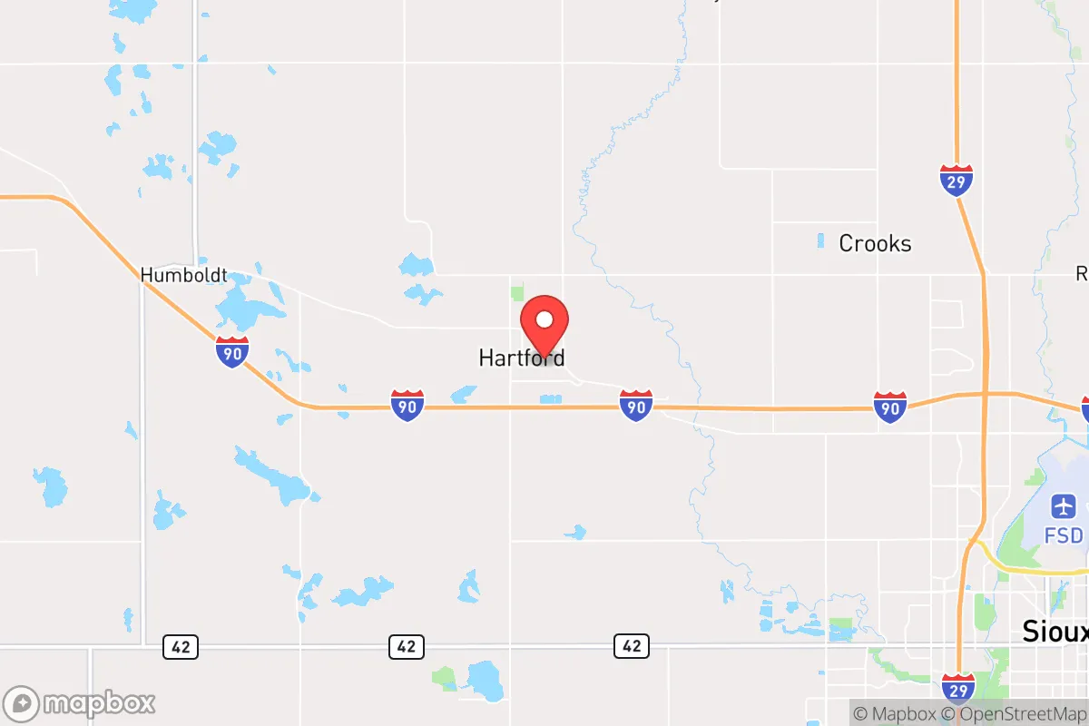
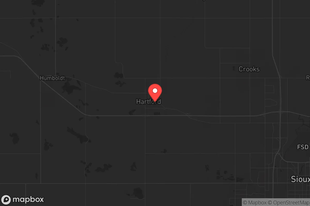
Hartford, South Dakota, sits in a position that demands a hard look from anyone serious about long-term resilience. Located just west of Sioux Falls along I-90, this town of roughly 3,500 people offers a mix of agricultural self-sufficiency and distance from immediate urban chaos, but it is not without its own strategic liabilities. The area’s flat, open terrain provides clear sightlines and limited concealment, while its proximity to a major interstate and a growing metro hub means that in a crisis, you are neither fully isolated nor fully safe. For a relocator thinking in terms of food, water, energy, and defensibility, Hartford presents a calculated trade-off: decent local resources within striking distance of a population center that could become a liability.
Geographic position and natural advantages for long-term survival
Hartford’s location in Minnehaha County places it at the edge of the eastern South Dakota plains, where the land is fertile and the growing season, though short, is reliable enough for serious gardening and small-scale farming. The Big Sioux River runs nearby, offering a surface water source that, with proper filtration and testing, could supplement well water in a grid-down scenario. The area’s low population density—roughly 60 people per square mile in the county—means that even in a regional crisis, you are not shoulder-to-shoulder with neighbors. The prevailing westerly winds carry airborne threats away from most residential areas, and the lack of major industrial targets within a 20-mile radius reduces the risk of immediate fallout from a conventional strike or industrial accident. For a prepper, the natural advantages here are real: good soil, accessible water, and a climate that, while harsh in winter, is predictable and manageable with proper preparation.
Risks, exposures, and proximity to fallout-relevant landmarks
The biggest strategic weakness of Hartford is its proximity to Sioux Falls, a city of over 200,000 people that sits just 12 miles to the east. In a scenario involving civil unrest, mass casualty events, or a breakdown of order, Sioux Falls becomes a source of both refugees and potential violence. The I-90 corridor, which runs directly through Hartford, is a natural funnel for people fleeing the city, and that traffic could turn hostile quickly if resources become scarce. Additionally, the Ellsworth Air Force Base near Rapid City, while 350 miles west, is a nuclear-capable installation that could draw a retaliatory strike; fallout patterns from such an event would depend on wind direction, but Hartford is far enough east to be outside the most dangerous downwind zones. The nearby rail lines and the interstate itself are also potential targets for sabotage or disruption. For a relocator, the calculus is clear: you are close enough to a major population center to feel its collapse, but far enough to have a fighting chance if you have a plan to secure your perimeter and stockpile supplies.
Practical resilience for a relocator: food, water, energy, and defensibility
Hartford’s practical resilience hinges on a few key factors. Food production is viable: the surrounding farmland grows corn, soybeans, and alfalfa, and local farmers’ markets and co-ops provide access to fresh meat and produce. With a 150-day growing season and reliable rainfall, a household with a greenhouse and seed bank could achieve significant self-sufficiency within two to three years. Water is less of a concern than in drier parts of the West; the Big Sioux River and the underlying Dakota Aquifer provide ample groundwater, though well depth varies and testing for agricultural runoff is advisable. Energy independence is achievable with solar panels and a backup generator, as the area gets over 200 sunny days per year, and wind speeds are high enough for small-scale turbines. Defensibility is mixed: the flat terrain offers no natural chokepoints, but a well-placed home with a clear view of approach roads and a reinforced structure can be made secure. The local law enforcement presence is small—Minnehaha County has about 200 deputies for the entire county—so in a prolonged crisis, you are largely on your own. Stockpiling ammunition, medical supplies, and fuel for a generator is not paranoia here; it is basic preparedness.
The overall strategic picture for Hartford is one of cautious viability. It is not a remote mountain redoubt, nor is it a dense urban trap. For a conservative-minded relocator who values community ties, agricultural potential, and a buffer from the worst of urban collapse, Hartford offers a workable middle ground. The key is to treat it as a base of operations, not a fortress: build relationships with neighbors, store at least six months of supplies, and have a bug-out plan for moving further west or north if Sioux Falls becomes untenable. The area’s strengths—good land, accessible water, and a low-key population—are real, but they require active management and a clear-eyed understanding of the risks. If you are willing to put in the work, Hartford can be a solid anchor for a resilient future. If you are looking for a place where you can sit back and hope for the best, this is not it.
* Values derived from national, state, county, city and local statistics and may differ in a specific area. Last updated: 2026-04-23T10:51:45.000Z
Narrative content on this page is AI-generated and may contain mistakes. Verify any details that matter before acting on them.
ReloMaps may earn a commission from affiliate links at no extra cost to you.