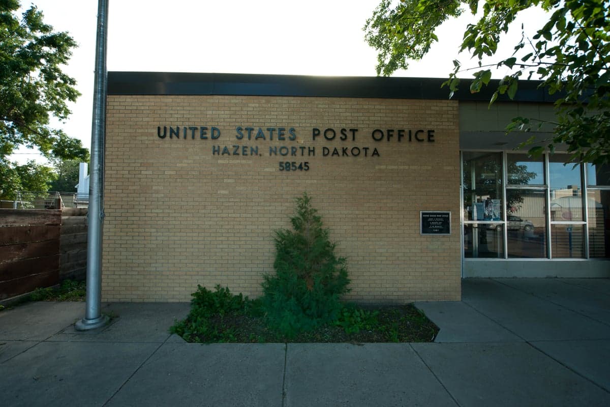
Photo: Wikipedia
Strategic Assessment of Hazen, ND
Strong survivability profile. Good buffer from population centers, with manageable environmental and tactical risks.
What does the Strategic Assessment tell us?
Our Strategic Assessment grades tactical survivability of an area. Major population centers, military targets, fallout zones, natural disasters, and border exposure all drive risk — lower exposure means a more defensible position in a crisis.
This is heavily inspired by Joel Skousen's Strategic Relocation book. Highly recommended you checkout the book ($)What does this tell us?
Our Strategic Assessment grades tactical survivability of an area. Major population centers, military targets, fallout zones, natural disasters, and border exposure all drive risk — lower exposure means a more defensible position in a crisis.
This is heavily inspired by Joel Skousen's Strategic Relocation book. Highly recommended you checkout the book ($)Strategic Pillars

Key Distances
Regional Safe Places
Below is our recommended "safe zones" in North Dakota and the surrounding area based on our strategic heuristics. For most people, it's unrealistic to live in a “safe zone” full-time due to work, family or other personal reasons. They tend to be more rural. However, many of these areas are perfect for second homes and retreat properties that double as a vacation home or even a short-term rental.
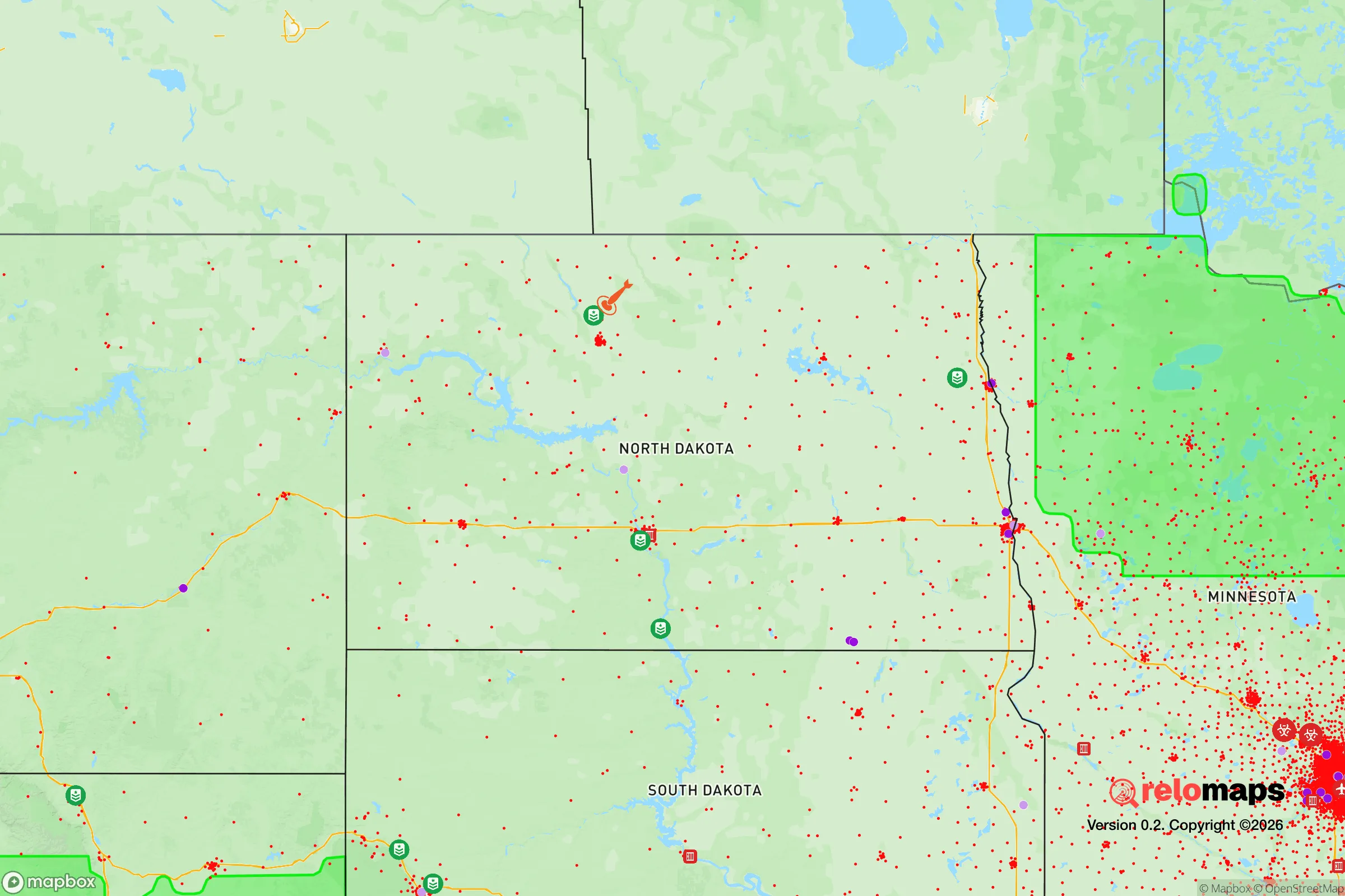
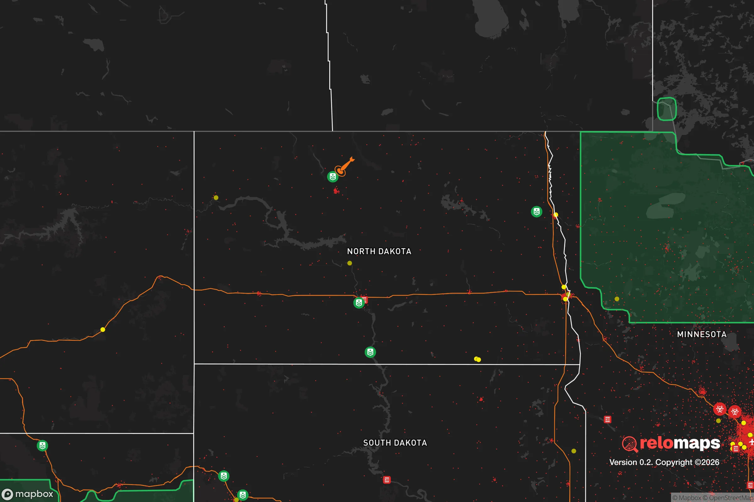
Important Note: For informational purposes only. This does not mean nothing bad ever happens in the green zones. Please use common sense. This is based on public data and modeled with AI. We tried to take a conservative approach but mistakes happen. We update this regularly as new information becomes available.
Solar Generator Recommendations
Backup power matters more here than in safer locations. We've picked three solar generators across budgets and capacity tiers — start with the budget unit if you only need a few essentials, or step up if you want to run a fridge and HVAC for days at a time.

Jackery Portable Power Station Explorer 300
Budget OptionPower on the Go: Weighing only 11 lbs, it's convenient to set up and store with book-sized foldable solar panels

BLUETTI Portable Power Station AC180
Designed for both indoor and outdoor scenarios, AC180 is highly capable as it has a robost capacity and continuous output power.

EF ECOFLOW DELTA Pro Ultra Power Station
Upgraded PickEcoFlow DELTA Pro Ultra is a whole-home energy system designed to grow with your family. Integrated with the Smart Home Panel 2, it scales to meet your evolving energy needs — keeping your home powered, intelligent, and secure through every stage of life.
We earn a commission, at no additional cost to you.
Strategic Assessment Analysis
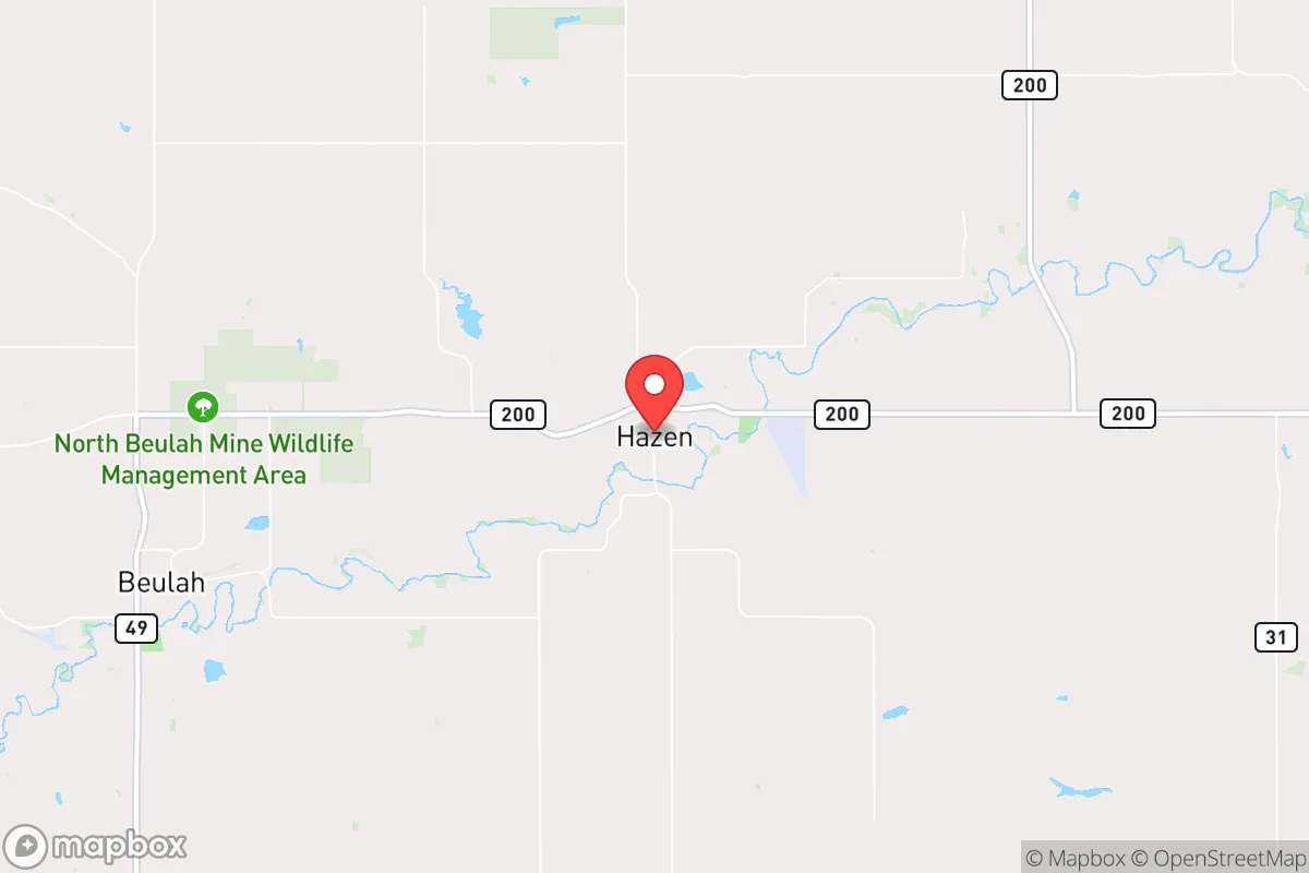
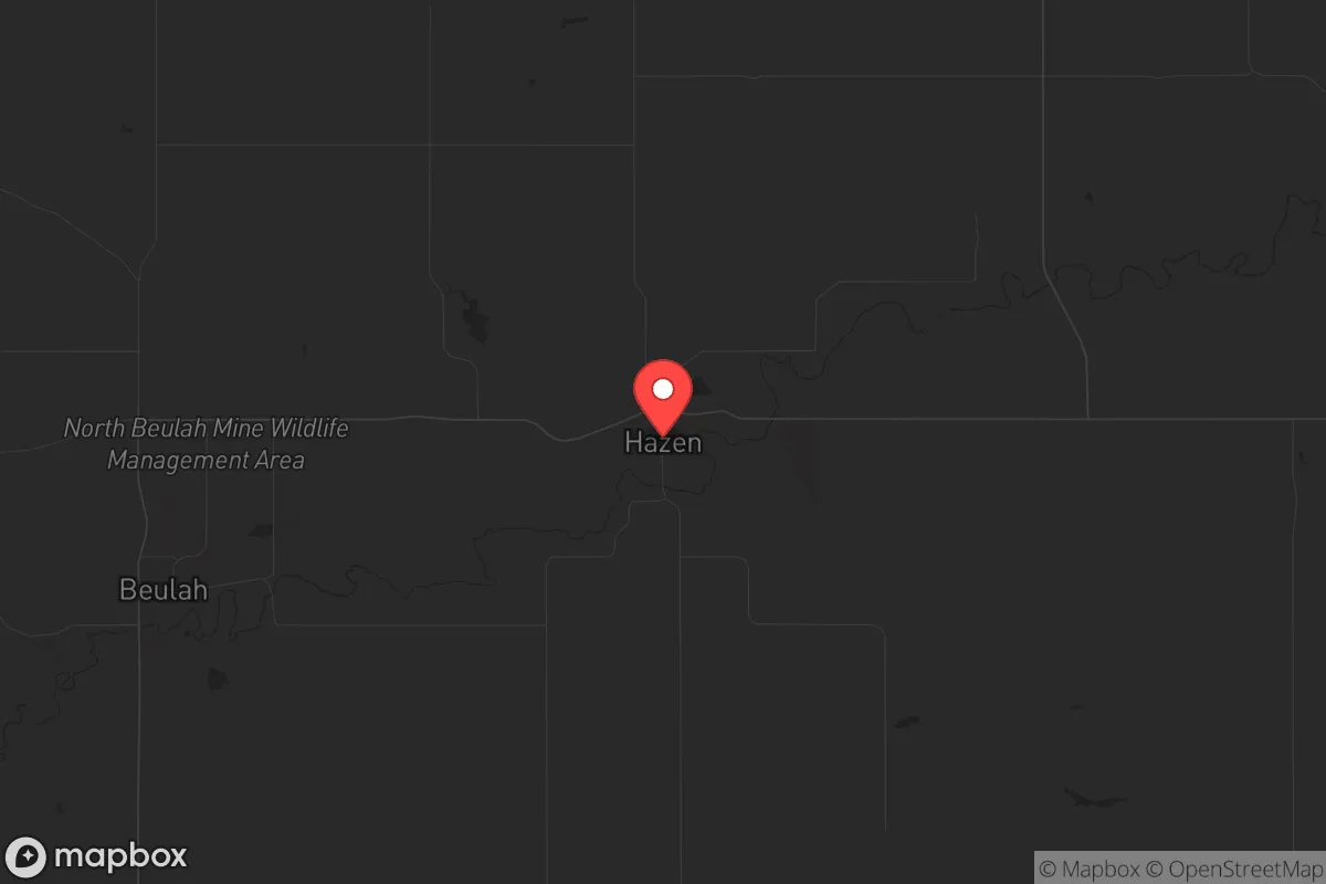
Hazen, North Dakota, sits in a sweet spot that few relocators fully appreciate: far enough from major population centers to avoid the chaos of collapse, yet close enough to essential infrastructure to maintain a functional modern life. With a population hovering around 2,500 and a location roughly 60 miles northwest of Bismarck, this town offers a strategic buffer zone that makes it a serious contender for anyone thinking about long-term resilience. The area’s low population density, harsh but manageable climate, and energy-rich local economy create a foundation that’s hard to replicate in more crowded, politically fragile regions of the country.
Geographic position and natural advantages for long-term security
Hazen’s location in Mercer County places it squarely in the Missouri River corridor, which is the lifeblood of the region. The river provides a reliable freshwater source—critical for any sustained survival scenario—and the surrounding landscape is flat, open prairie with minimal tree cover, which limits ambush points and makes defensive observation straightforward. The town sits about 20 miles south of Lake Sakakawea, a massive reservoir that offers additional water security and fishing potential. The nearest interstate highway, I-94, is roughly 30 miles south, giving you access to east-west travel without being directly on a major evacuation route that would clog during a crisis. The Bakken oil fields to the northwest mean the area has a built-in energy infrastructure—pipelines, refineries, and a workforce accustomed to industrial self-sufficiency. For a relocator, this translates into a community that already thinks in terms of resource management and hard work, not government dependency.
Risks, exposures, and proximity to fallout-relevant landmarks
No location is perfect, and Hazen has its share of strategic liabilities. The most obvious is the proximity to the Fort Berthold Indian Reservation and the associated oil and gas infrastructure—pipelines, storage tanks, and processing plants—that could become targets during civil unrest or a coordinated attack. The town is also about 70 miles from the Minot Air Force Base, home to nuclear-capable B-52 bombers and a major munitions storage facility. In a worst-case scenario, that base is a high-value target, and fallout patterns from a strike there could reach Hazen depending on wind direction. Additionally, the nearby coal-fired power plants and the Dakota Gasification Company plant near Beulah (about 10 miles west) are industrial choke points that could draw attention from bad actors. The positive side: Hazen is far enough from any major city—Bismarck is the closest metro at 60 miles—that you won’t face the immediate refugee flows or supply chain collapse that would hit urban areas first. The risk is real but manageable if you have a plan for sheltering in place during the first 72 hours post-event.
Practical resilience for a relocator: food, water, energy, and defensibility
For someone serious about self-reliance, Hazen offers a surprisingly workable setup. Water is the non-negotiable first step, and the Missouri River and Lake Sakakawea give you surface water access, but you’ll need your own well or a robust filtration system—municipal water could fail in a grid-down scenario. The local aquifer is decent, and many rural properties already have private wells. Food security is trickier: the growing season is short (roughly 120 frost-free days), and the soil is heavy clay in many spots, so you’ll want to invest in raised beds, cold frames, and a greenhouse if you plan to produce your own calories. Hunting and fishing are viable—deer, waterfowl, and walleye are abundant—but you’ll need to stockpile ammunition and learn the terrain before a crisis hits. Energy is where Hazen shines: the area is rich in natural gas and oil, and many locals already use propane or diesel generators. Solar works here, but winter daylight hours are short (around 8 hours in December), so you’ll need battery storage and a backup fuel source. Defensibility is decent for a small town—the open prairie means you can see threats coming from miles away, but it also means you’re exposed. A rural property with a good line of sight, a perimeter fence, and a secure outbuilding for supplies is the baseline. The community itself is tight-knit and largely self-reliant; you’ll find neighbors who know how to fix engines, weld, and hunt, which is a social asset that can’t be overstated.
The overall strategic picture for Hazen is one of calculated trade-offs. You’re trading away the convenience of urban amenities and the mild climate of the South for a location that is defensible, resource-rich, and politically aligned with conservative values of self-sufficiency and local control. The risks from nearby military and industrial targets are real but not catastrophic if you prepare—think fallout shelter, stored food, and a plan to ride out the first wave. The biggest wildcard is the weather: brutal winters can isolate you for days, so your vehicle, heating, and food storage must be winterized. For a single individual or a family looking to step off the grid without stepping into a war zone, Hazen offers a rare combination of isolation and infrastructure. It’s not a bug-out location for a weekend—it’s a place to build a life that can withstand the shocks that are coming. If you’re serious about resilience, this is a spot worth scouting in person before the next crisis makes the decision for you.
* Values derived from national, state, county, city and local statistics and may differ in a specific area. Last updated: 2026-04-19T05:46:52.000Z
Narrative content on this page is AI-generated and may contain mistakes. Verify any details that matter before acting on them.
ReloMaps may earn a commission from affiliate links at no extra cost to you.