Photo: Wikipedia
Strategic Assessment of Hillsboro, OR
Multiple tactical vulnerabilities. Population density, target proximity, or disaster risk are likely compounding. A retreat property and exit planning is required.
What does the Strategic Assessment tell us?
Our Strategic Assessment grades tactical survivability of an area. Major population centers, military targets, fallout zones, natural disasters, and border exposure all drive risk — lower exposure means a more defensible position in a crisis.
This is heavily inspired by Joel Skousen's Strategic Relocation book. Highly recommended you checkout the book ($)What does this tell us?
Our Strategic Assessment grades tactical survivability of an area. Major population centers, military targets, fallout zones, natural disasters, and border exposure all drive risk — lower exposure means a more defensible position in a crisis.
This is heavily inspired by Joel Skousen's Strategic Relocation book. Highly recommended you checkout the book ($)Strategic Pillars

Key Distances
Regional Safe Places
Below is our recommended "safe zones" in Oregon and the surrounding area based on our strategic heuristics. For most people, it's unrealistic to live in a “safe zone” full-time due to work, family or other personal reasons. They tend to be more rural. However, many of these areas are perfect for second homes and retreat properties that double as a vacation home or even a short-term rental.


Important Note: For informational purposes only. This does not mean nothing bad ever happens in the green zones. Please use common sense. This is based on public data and modeled with AI. We tried to take a conservative approach but mistakes happen. We update this regularly as new information becomes available.
Solar Generator Recommendations
Backup power matters more here than in safer locations. We've picked three solar generators across budgets and capacity tiers — start with the budget unit if you only need a few essentials, or step up if you want to run a fridge and HVAC for days at a time.

Jackery Portable Power Station Explorer 300
Budget OptionPower on the Go: Weighing only 11 lbs, it's convenient to set up and store with book-sized foldable solar panels

BLUETTI Portable Power Station AC180
Designed for both indoor and outdoor scenarios, AC180 is highly capable as it has a robost capacity and continuous output power.

EF ECOFLOW DELTA Pro Ultra Power Station
Upgraded PickEcoFlow DELTA Pro Ultra is a whole-home energy system designed to grow with your family. Integrated with the Smart Home Panel 2, it scales to meet your evolving energy needs — keeping your home powered, intelligent, and secure through every stage of life.
We earn a commission, at no additional cost to you.
Strategic Assessment Analysis
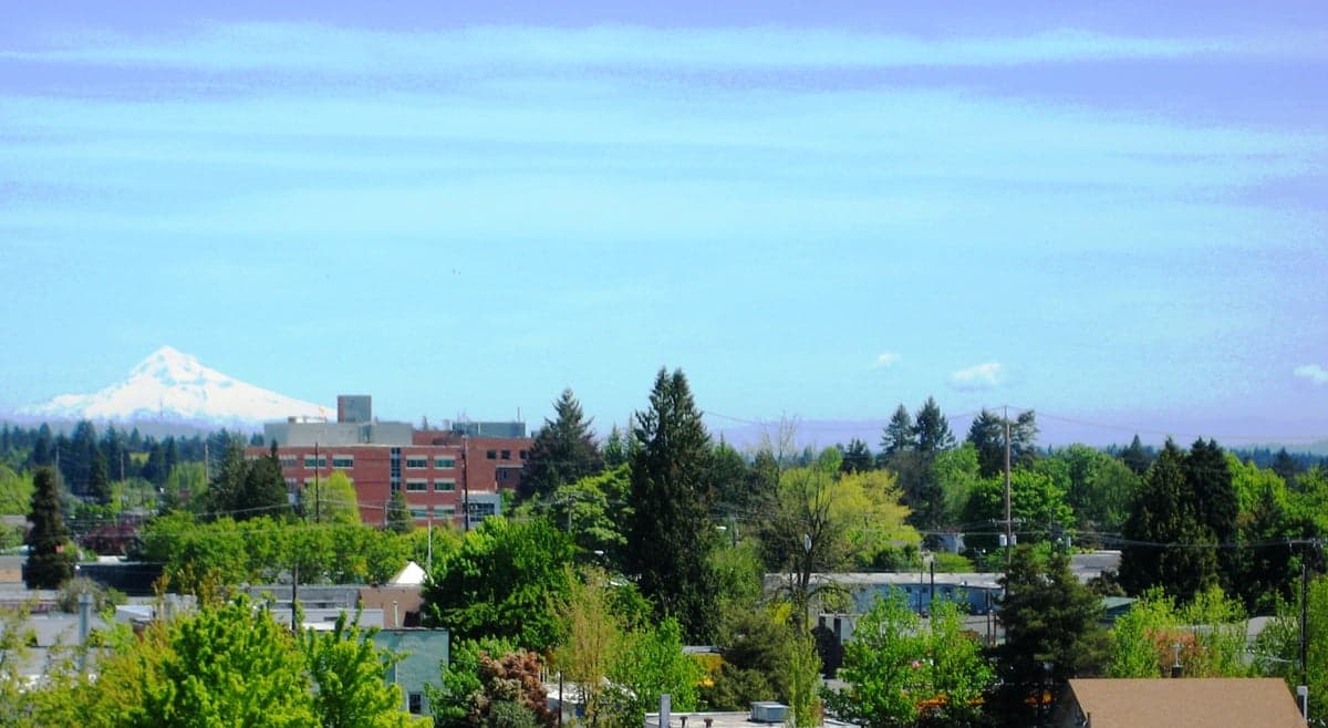
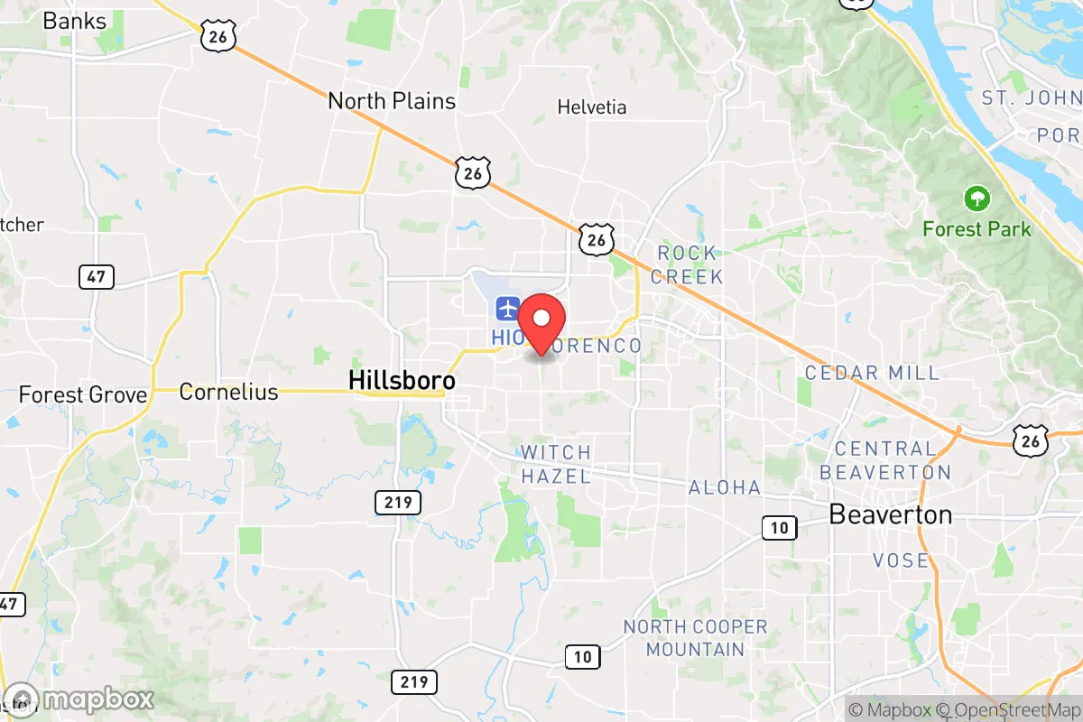
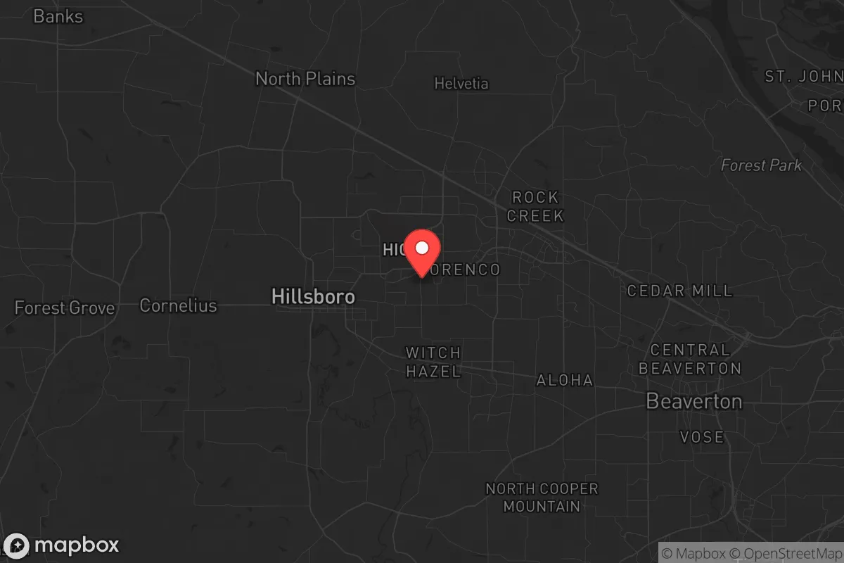
Hillsboro, Oregon, presents a complex strategic picture for the conservative prepper or survivalist. Its location in the Tualatin Valley, roughly 20 miles west of Portland, offers a mix of genuine resilience advantages and significant, non-negotiable risks. While the area’s agricultural base and access to water are strong points, its proximity to a major metropolitan hub, high-value tech infrastructure, and a politically volatile region creates a high-risk profile for those seeking true long-term security. This assessment weighs the practical assets against the exposure, giving you the unvarnished picture for a relocation decision.
Geographic position and natural advantages for long-term survival
Hillsboro’s geographic position is a double-edged sword, but the natural advantages are real. The city sits in the fertile Tualatin Valley, part of the larger Willamette Valley, which is one of the most productive agricultural regions in the Pacific Northwest. For a prepper, this means local food production is a tangible asset. The surrounding farmland produces berries, vegetables, grains, and hay, and the region’s mild, wet climate supports year-round growing with proper planning. Water availability is another strong point. The Tualatin River runs through the area, and the region’s high annual rainfall (roughly 37-40 inches) means surface water and groundwater are generally reliable. The Coast Range to the west and the Cascade foothills to the east provide natural barriers that could slow movement and offer retreat options if needed. Hillsboro itself is not directly on the Pacific coast, which avoids the tsunami risk, and it’s far enough inland to be less vulnerable to a Cascadia Subduction Zone earthquake’s immediate coastal devastation, though the shaking will still be severe. The terrain is relatively flat, which is good for farming and movement, but offers little natural defensibility compared to more rugged areas.
Risks, exposures, and proximity to high-value fallout landmarks
This is where the analysis gets serious. Hillsboro’s biggest strategic weakness is its proximity to Portland and the concentration of high-value, high-risk infrastructure. Hillsboro is home to a massive cluster of tech industry facilities, including Intel’s largest U.S. campus (Ronler Acres, Jones Farm, and Aloha campuses), plus facilities for SolarWorld, Lam Research, and other semiconductor and electronics firms. In a scenario of civil unrest, economic collapse, or targeted attacks, these facilities become primary targets. The concentration of intellectual property, sensitive manufacturing, and a large, well-compensated workforce makes the area a potential flashpoint. Furthermore, Hillsboro is less than 10 miles from the Portland-Hillsboro Airport (HIO), a general aviation and air cargo hub, and about 25 miles from Portland International Airport (PDX). Both are logical targets for disruption. The city is also near major transportation corridors: U.S. Route 26 (the Sunset Highway) and Oregon Route 217, which connect directly to Portland. In a crisis, these roads will be choke points for evacuation or movement. The political climate of the Portland metro area is overwhelmingly progressive, and while Hillsboro itself is more moderate, it is still part of the same media market and subject to the same regional governance. For a conservative-leaning individual, this means a higher likelihood of encountering civil unrest, protests, and policy decisions that may not align with preparedness or self-reliance. The 2020 protests in Portland demonstrated how quickly unrest can spread into the suburbs. Finally, the Cascadia Subduction Zone earthquake risk is real. A major event (8.0+) would cause widespread liquefaction in the valley, damage to infrastructure, and likely cut off supply routes for weeks or months. The proximity to the coast also means a tsunami would not directly hit Hillsboro, but the aftermath—displaced populations, overwhelmed resources—would ripple inland.
Practical resilience for a relocator: food, water, energy, and defensibility
For a relocator focused on practical resilience, Hillsboro offers a mixed bag. Food and water are the strongest points. The agricultural land around the city is a genuine asset. You can realistically establish a substantial garden, raise small livestock (chickens, rabbits, goats) on a few acres, and tap into local farmers’ markets and CSAs for supply chains that are more robust than in a purely urban setting. Water is plentiful, but you must secure your own source. A well on your property is ideal; if you’re on city water, you need a plan for when the grid fails. The Tualatin River is a backup, but it’s also a potential contamination vector. Energy is a weaker link. The grid is reliable day-to-day, but it’s part of the larger Pacific Northwest system, which is vulnerable to cyberattacks, physical sabotage, and earthquake damage. Solar is viable, but the region’s frequent cloud cover means you’ll need a larger panel array and battery storage than in sunnier states. Natural gas is common for heating, but that pipeline infrastructure is also a target. Defensibility is the weakest category. Hillsboro is a sprawling suburban city with flat terrain, many entry points, and a dense population. There is no natural chokepoint or defensible position within the city itself. Your best bet is to secure a property on the outskirts—closer to the farmland or the forested foothills—where you have more buffer and less foot traffic. Even then, the sheer number of people in the metro area (over 2 million in the Portland metro) means that in a collapse scenario, you will be competing with a massive, resource-hungry population. The local law enforcement and emergency services are professional, but they will be overwhelmed in a major event. Your plan must assume you are on your own for at least the first 72 hours, and realistically much longer.
The overall strategic picture for Hillsboro is one of calculated risk. It is not a bug-out location or a remote retreat. It is a suburban area with strong agricultural and water resources, but it sits in the shadow of a major, politically volatile city with high-value targets. For a conservative prepper, the key is to treat Hillsboro as a semi-rural base with a short timeline for self-sufficiency. If you can secure a property with a well, garden space, and solar backup, and you are willing to maintain a low profile and a robust supply of essentials, it can work. But you must accept that you are living in a high-risk zone for civil unrest and infrastructure disruption. The smartest approach is to view Hillsboro as a place to build a resilient homestead while maintaining a plan to relocate further inland or to a more defensible location if the national situation deteriorates sharply. It’s a solid B-tier location—good for a prepared family that wants access to resources and a moderate climate, but not a fortress. If you want true isolation and minimal exposure, look farther east or south. If you want a place where you can grow your own food and still have a job in tech, Hillsboro is a viable, if imperfect, option.
* Values derived from national, state, county, city and local statistics and may differ in a specific area. Last updated: 2026-04-24T19:58:36.000Z
Narrative content on this page is AI-generated and may contain mistakes. Verify any details that matter before acting on them.
ReloMaps may earn a commission from affiliate links at no extra cost to you.