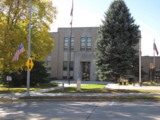
Photo: Wikipedia
Strategic Assessment of Allamakee County
Workable tactical position. Some exposure to population density or targets, but generally defensible in a crisis.
What does the Strategic Assessment tell us?
Our Strategic Assessment grades tactical survivability of an area. Major population centers, military targets, fallout zones, natural disasters, and border exposure all drive risk — lower exposure means a more defensible position in a crisis.
This is heavily inspired by Joel Skousen's Strategic Relocation book. Highly recommended you checkout the book ($)What does this tell us?
Our Strategic Assessment grades tactical survivability of an area. Major population centers, military targets, fallout zones, natural disasters, and border exposure all drive risk — lower exposure means a more defensible position in a crisis.
This is heavily inspired by Joel Skousen's Strategic Relocation book. Highly recommended you checkout the book ($)Strategic Pillars

Key Distances
Strategic Assessment Analysis
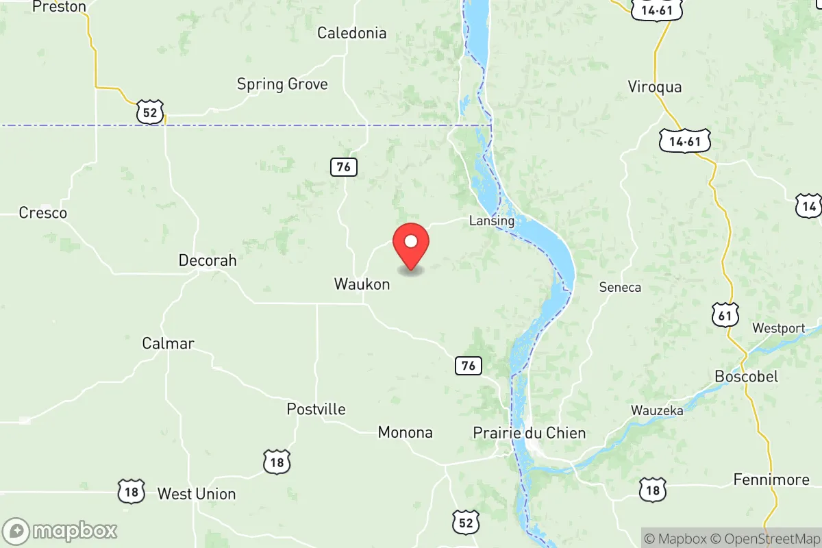
Allamakee County, Iowa, offers a compelling strategic profile for those prioritizing resilience and self-sufficiency, anchored by its position along the Upper Mississippi River and its distance from major metropolitan targets. The county seat, Waukon, sits roughly 80 miles north of Dubuque and 90 miles southwest of La Crosse, Wisconsin, placing it well outside the immediate fallout zones of any major city or strategic military installation. This rural corner of northeast Iowa, bordered by the Mississippi River to the east and the Upper Iowa River to the north, provides a combination of natural barriers, agricultural capacity, and low population density that makes it a serious consideration for relocation-minded individuals and families.
Geographic position and natural advantages for long-term security
Allamakee County’s geography is its strongest asset. The county is part of the Driftless Area, a region that escaped the flattening effects of the last glacial period, resulting in steep, wooded bluffs, deep river valleys, and spring-fed streams. This topography offers natural defensibility—the rugged terrain limits large-scale movement and provides numerous secluded valleys and hollows. The Mississippi River forms the county’s eastern border, with the towns of Lansing and New Albin serving as river access points. The Upper Iowa River, a designated scenic river, cuts through the northern part of the county near the town of Decorah (just over the line in Winneshiek County), offering additional water resources and recreational access. The county’s position places it roughly 120 miles from the Minneapolis-St. Paul metro area and over 200 miles from Chicago, distances that significantly reduce the risk of fallout from a nuclear event or cascading failures from urban infrastructure collapse. The nearest interstate highway, I-90, runs about 30 miles north of the county line, providing a transportation corridor without the vulnerability of being directly adjacent to it.
Risks, exposures, and proximity to fallout-relevant landmarks
While Allamakee County is far from major urban centers, it is not without exposure. The county lies within the 100-mile radius of the Prairie Island Nuclear Generating Plant in Minnesota (about 90 miles northwest), and the Duane Arnold Energy Center near Cedar Rapids (about 100 miles south). Both are decommissioned or operating facilities that present a low but non-zero risk of radiological release. More immediately, the county is within the 50-mile plume exposure pathway of the La Crosse Boiling Water Reactor, a decommissioned plant near Genoa, Wisconsin, about 40 miles northeast. For a relocator, these are distant enough to avoid direct blast effects but close enough to warrant awareness of prevailing wind patterns (typically west-to-east). The county’s agricultural economy—primarily corn, soybeans, and livestock—means that pesticide and fertilizer storage facilities exist in rural areas, though these are localized risks. The Mississippi River itself, while a resource, also carries barge traffic transporting chemicals and fuels, with the Lock and Dam No. 9 near Lansing serving as a potential chokepoint for river-based hazards. No major military bases, refineries, or ports are within the county, which is a net positive for this analysis.
Practical resilience for a relocator: food, water, energy, and defensibility
For a family or individual serious about self-sufficiency, Allamakee County offers strong fundamentals. Water is abundant: the county sits atop the Jordan Aquifer, and numerous springs and streams provide reliable surface water. The Upper Iowa River and Mississippi River are perennial sources, though treatment would be necessary for consumption. The county’s agricultural base means local food production is feasible—there are active farmers’ markets in Waukon and Lansing, and the surrounding region supports small-scale livestock, orchards, and vegetable farms. The Allamakee County Soil and Water Conservation District provides resources for landowners interested in sustainable agriculture. Energy infrastructure is a mixed picture: the county is served by Alliant Energy and MiEnergy Cooperative, with the Lansing Generating Station (a natural gas peaker plant) providing local grid support. However, the rural nature of the county means power outages from winter storms or ice events are common, making off-grid solar or backup generation a practical consideration. Defensibility is aided by the terrain—the bluffs and valleys create natural chokepoints, and the low population density (about 14,000 residents across 659 square miles) means fewer people to compete with for resources in a crisis. The county’s sheriff’s office in Waukon and volunteer fire departments in towns like Postville and Harpers Ferry provide a baseline of emergency services, though response times in remote areas can exceed 30 minutes.
The overall strategic picture for Allamakee County is one of moderate-to-high resilience with manageable trade-offs. Its distance from major targets, abundant water, agricultural capacity, and defensible terrain make it a strong candidate for those seeking a rural relocation with a focus on self-reliance. The primary drawbacks are the cold winters (average January lows near 10°F), which increase energy demands and complicate off-grid living, and the relative isolation from specialized medical care—the nearest Level 1 trauma center is in La Crosse or Rochester, Minnesota, about 90 minutes away. For a family willing to invest in winter-ready infrastructure and build local connections, Allamakee County offers a realistic balance of security and livability, far from the vulnerabilities of urban centers but still within reach of essential services. The county’s small towns—Waukon, Lansing, Postville, and New Albin—provide a social fabric that can support mutual aid networks, a critical component of long-term resilience that no amount of individual preparedness can replace.

* Values derived from national, state, county, city and local statistics and may differ in a specific area. Last updated: 2026-10-19T10:04:50.000Z
Narrative content on this page is AI-generated and may contain mistakes. Verify any details that matter before acting on them.
ReloMaps may earn a commission from affiliate links at no extra cost to you.

