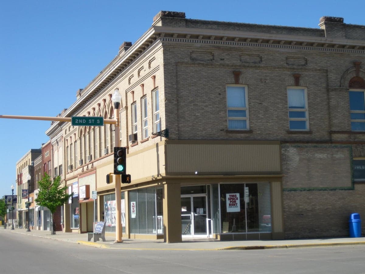
Photo: Wikipedia
Strategic Assessment of Jamestown, ND
Strong survivability profile. Good buffer from population centers, with manageable environmental and tactical risks.
What does the Strategic Assessment tell us?
Our Strategic Assessment grades tactical survivability of an area. Major population centers, military targets, fallout zones, natural disasters, and border exposure all drive risk — lower exposure means a more defensible position in a crisis.
This is heavily inspired by Joel Skousen's Strategic Relocation book. Highly recommended you checkout the book ($)What does this tell us?
Our Strategic Assessment grades tactical survivability of an area. Major population centers, military targets, fallout zones, natural disasters, and border exposure all drive risk — lower exposure means a more defensible position in a crisis.
This is heavily inspired by Joel Skousen's Strategic Relocation book. Highly recommended you checkout the book ($)Strategic Pillars

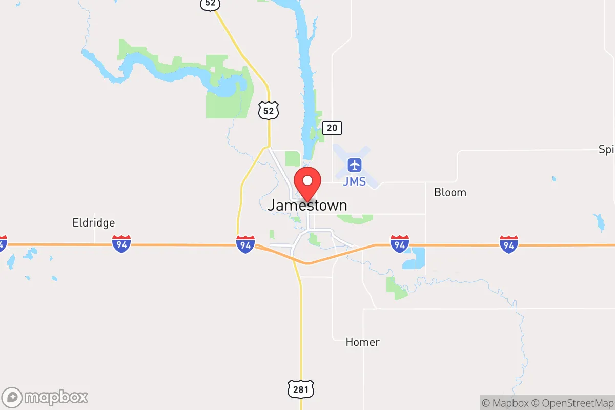
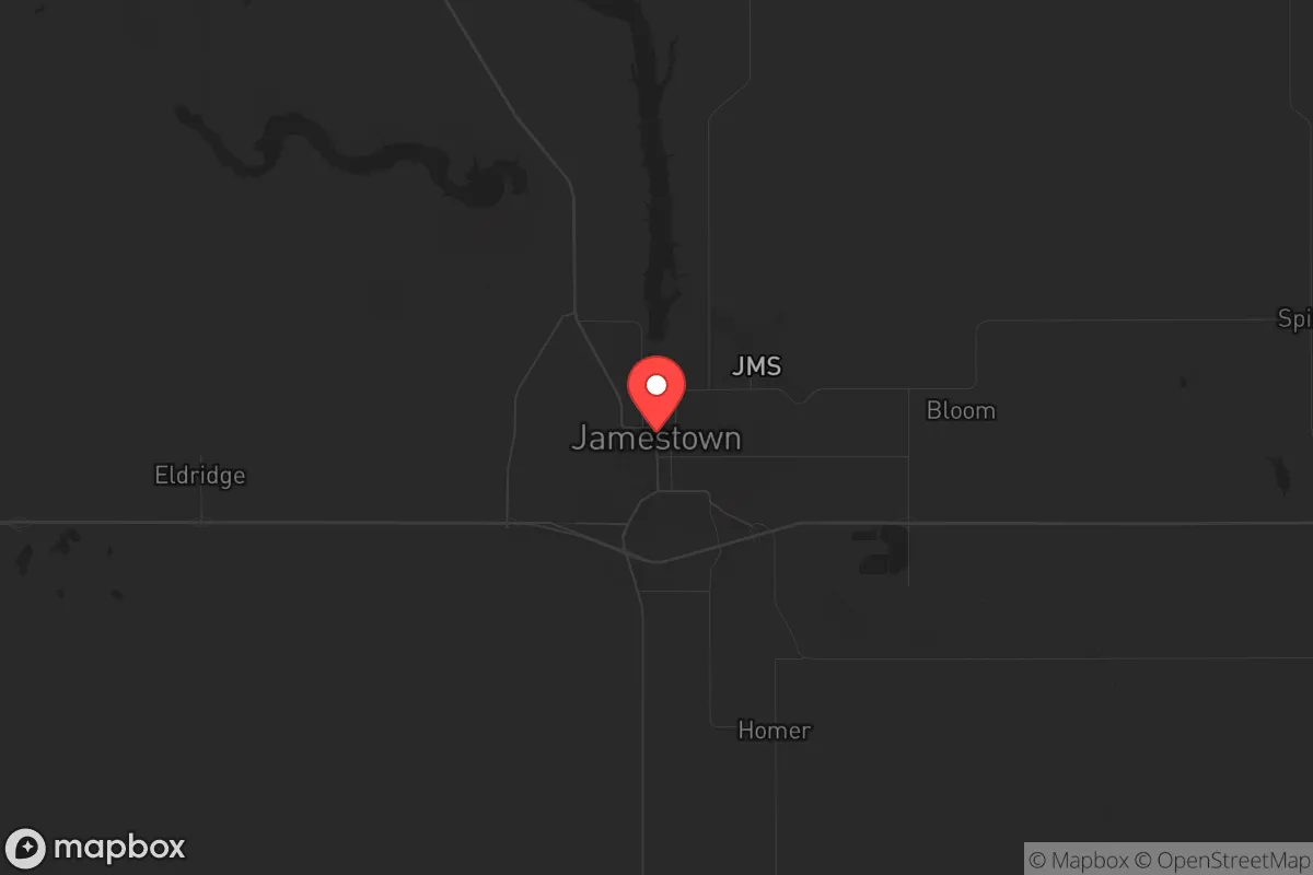
Key Distances
Regional Safe Places
Below is our recommended "safe zones" in North Dakota and the surrounding area based on our strategic heuristics. For most people, it's unrealistic to live in a “safe zone” full-time due to work, family or other personal reasons. They tend to be more rural. However, many of these areas are perfect for second homes and retreat properties that double as a vacation home or even a short-term rental.
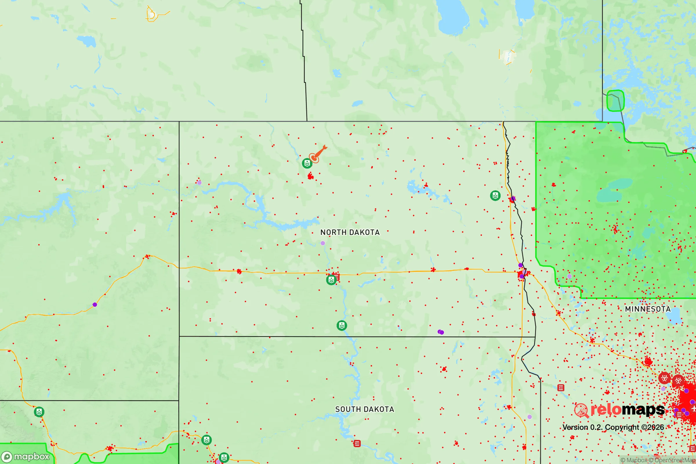
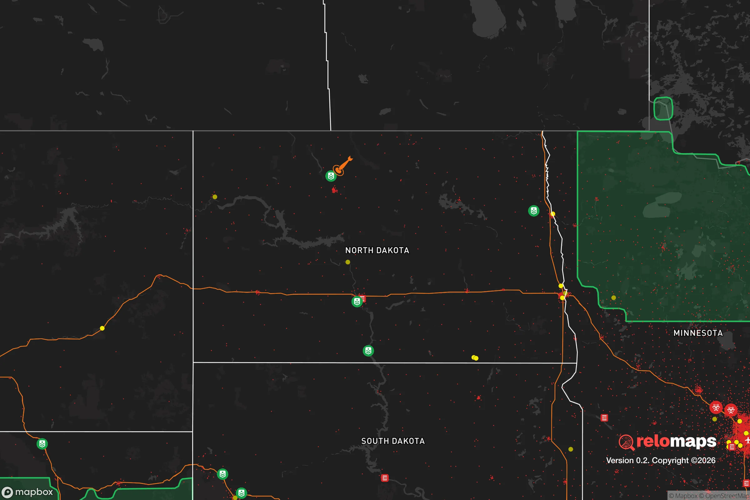
Important Note: For informational purposes only. This does not mean nothing bad ever happens in the green zones. Please use common sense. This is based on public data and modeled with AI. We tried to take a conservative approach but mistakes happen. We update this regularly as new information becomes available.
Solar Generator Recommendations
Backup power matters more here than in safer locations. We've picked three solar generators across budgets and capacity tiers — start with the budget unit if you only need a few essentials, or step up if you want to run a fridge and HVAC for days at a time.

Jackery Portable Power Station Explorer 300
Budget OptionPower on the Go: Weighing only 11 lbs, it's convenient to set up and store with book-sized foldable solar panels

BLUETTI Portable Power Station AC180
Designed for both indoor and outdoor scenarios, AC180 is highly capable as it has a robost capacity and continuous output power.

EF ECOFLOW DELTA Pro Ultra Power Station
Upgraded PickEcoFlow DELTA Pro Ultra is a whole-home energy system designed to grow with your family. Integrated with the Smart Home Panel 2, it scales to meet your evolving energy needs — keeping your home powered, intelligent, and secure through every stage of life.
We earn a commission, at no additional cost to you.
Strategic Assessment Analysis
Jamestown, North Dakota, sits as a quietly strategic node in the Upper Plains, offering a resilience profile that stands apart from the chaos-prone corridors of the coasts. Its location along Interstate 94 and the main BNSF rail line provides critical logistical connectivity, yet the city itself remains far enough from major population centers to avoid the worst of cascading collapse scenarios. For the prepper or survivalist looking at the long game, Jamestown presents a mix of genuine geographic advantages and sobering exposure risks that demand a clear-eyed assessment.
Geographic position and natural advantages for long-term survival
Jamestown’s primary strategic asset is its position within the Drift Prairie, a region of rolling hills and glacial lakes that offers both defensible terrain and access to fresh water. The James River runs directly through the city, providing a reliable surface water source that can be tapped for drinking, irrigation, and sanitation in a grid-down scenario. The surrounding Stutsman County is sparsely populated, with a population density of roughly 7 people per square mile, which dramatically reduces the risk of resource competition and human-borne threats during a crisis. The area’s cold continental climate acts as a natural barrier to many infectious diseases and pests that thrive in warmer regions, and the deep winter freezes can slow the movement of both people and pathogens. The flat-to-rolling topography offers good line-of-sight for security, while the numerous small lakes and wetlands create natural choke points and obstacles for any large-scale movement. Jamestown’s location roughly 100 miles from the nearest major city (Fargo) and over 200 miles from Minneapolis means that any urban evacuation or unrest-driven displacement will largely bypass this area, as refugees will naturally bottleneck at larger towns along the interstate corridor.
Risks, exposures, and proximity to fallout-relevant landmarks
No strategic assessment is complete without acknowledging the hard realities. Jamestown sits within 300 miles of Minot Air Force Base, home to the 5th Bomb Wing and a significant nuclear weapons storage facility. In a major conflict scenario, this proximity places the region within a potential fallout plume corridor, depending on prevailing winds. The city is also directly on the I-94 corridor, which connects to Fargo, Bismarck, and Minneapolis — a major evacuation route that could become a death trap during a mass casualty event or civil unrest. The rail line running through town is a double-edged sword: it provides logistical resilience for supply movement but also makes Jamestown a potential target for sabotage or disruption. The area’s reliance on agriculture means that a crop failure, whether from drought, blight, or a solar event, could severely impact local food availability. Additionally, the Bakken oil fields to the west introduce industrial hazards, including pipeline ruptures and toxic gas releases, though these are less likely to affect Jamestown directly than the more exposed communities in the western part of the state. The biggest exposure is the city’s dependence on the electrical grid and natural gas for heating — a prolonged winter power outage would be a life-threatening event without robust backup systems.
Practical resilience for a relocator: food, water, energy, and defensibility
For the individual or family looking to establish a resilient foothold, Jamestown offers a workable baseline that requires deliberate enhancement. Water is the strongest suit: the James River and the numerous glacial lakes (including the large Spiritwood Lake area) provide ample surface water, and the shallow aquifer in the region means private wells are a viable option for those with the means to drill. The local climate supports a short but intense growing season, with enough summer heat and daylight to produce significant yields of cold-hardy crops like potatoes, carrots, cabbage, and grains. The surrounding agricultural land is among the most productive in the nation, and a relocator with land access can realistically achieve a high degree of food self-sufficiency within two to three seasons. Energy resilience is more challenging: the region’s wind resource is excellent, but small-scale wind turbines require maintenance and battery storage that many preppers underestimate. Solar works during the long summer days but is severely limited in winter, when days are short and snow cover reduces panel efficiency. Wood heating is the most practical backup, with ample timber along the river corridors and in the nearby Sheyenne National Grassland. Defensibility is moderate: the open terrain makes it hard to conceal a homestead, but the low population density means that a well-chosen property with good sightlines and a reliable water source can be effectively secured with basic perimeter measures. The local culture is still rooted in self-reliance and neighborly mutual aid, which is a soft asset that cannot be bought — but it also means that outsiders who fail to integrate or contribute will find themselves isolated when times get hard.
The overall strategic picture for Jamestown is one of cautious viability. It is not a fortress, nor is it a survivalist paradise. It is a working-class prairie town with real assets — water, space, agricultural capacity, and a population that still remembers how to fix things themselves — and real liabilities, including grid dependence, a cold climate that punishes unpreparedness, and a location that is not entirely removed from the fallout zones of strategic military targets. For the relocator who is serious about preparedness, Jamestown offers a solid foundation that requires active investment in off-grid energy, food storage, and community relationships. The city’s greatest strength is its obscurity: it is simply not important enough to be a target, and not large enough to attract the chaos that follows mass displacement. For those who can handle the winters and the isolation, it represents a defensible, sustainable base from which to weather the storms ahead — provided you come ready to work, not just to wait.
* Values derived from national, state, county, city and local statistics and may differ in a specific area. Last updated: 2026-04-19T04:56:46.000Z
Narrative content on this page is AI-generated and may contain mistakes. Verify any details that matter before acting on them.
ReloMaps may earn a commission from affiliate links at no extra cost to you.