
Photo: Wikipedia
Strategic Assessment of Jefferson City, MO
Workable tactical position. Some exposure to population density or targets, but generally defensible in a crisis.
What does the Strategic Assessment tell us?
Our Strategic Assessment grades tactical survivability of an area. Major population centers, military targets, fallout zones, natural disasters, and border exposure all drive risk — lower exposure means a more defensible position in a crisis.
This is heavily inspired by Joel Skousen's Strategic Relocation book. Highly recommended you checkout the book ($)What does this tell us?
Our Strategic Assessment grades tactical survivability of an area. Major population centers, military targets, fallout zones, natural disasters, and border exposure all drive risk — lower exposure means a more defensible position in a crisis.
This is heavily inspired by Joel Skousen's Strategic Relocation book. Highly recommended you checkout the book ($)Strategic Pillars

Key Distances
Regional Safe Places
Below is our recommended "safe zones" in Missouri and the surrounding area based on our strategic heuristics. For most people, it's unrealistic to live in a “safe zone” full-time due to work, family or other personal reasons. They tend to be more rural. However, many of these areas are perfect for second homes and retreat properties that double as a vacation home or even a short-term rental.


Important Note: For informational purposes only. This does not mean nothing bad ever happens in the green zones. Please use common sense. This is based on public data and modeled with AI. We tried to take a conservative approach but mistakes happen. We update this regularly as new information becomes available.
Solar Generator Recommendations
Backup power matters more here than in safer locations. We've picked three solar generators across budgets and capacity tiers — start with the budget unit if you only need a few essentials, or step up if you want to run a fridge and HVAC for days at a time.

Jackery Portable Power Station Explorer 300
Budget OptionPower on the Go: Weighing only 11 lbs, it's convenient to set up and store with book-sized foldable solar panels

BLUETTI Portable Power Station AC180
Designed for both indoor and outdoor scenarios, AC180 is highly capable as it has a robost capacity and continuous output power.

EF ECOFLOW DELTA Pro Ultra Power Station
Upgraded PickEcoFlow DELTA Pro Ultra is a whole-home energy system designed to grow with your family. Integrated with the Smart Home Panel 2, it scales to meet your evolving energy needs — keeping your home powered, intelligent, and secure through every stage of life.
We earn a commission, at no additional cost to you.
Strategic Assessment Analysis
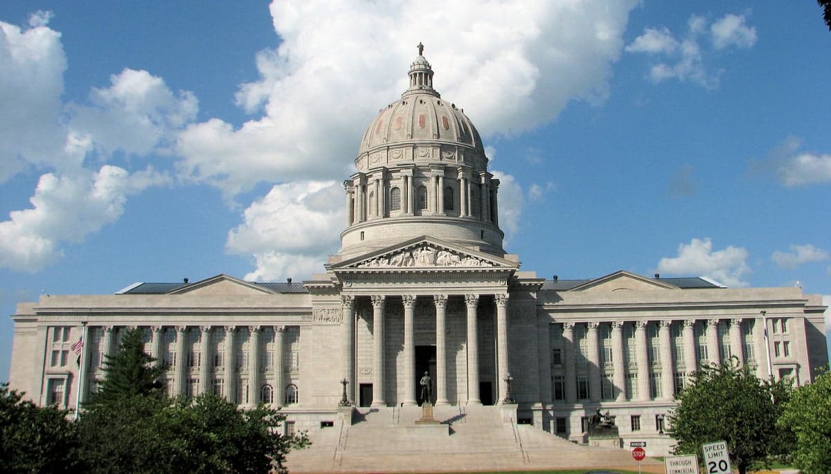
Jefferson City, Missouri, sits as a strategic outlier in the heartland—a state capital that blends low-key governance with genuine geographic resilience. For the prepper or survivalist looking at the national picture, this town offers a rare combination: it’s far enough from major population centers to avoid the worst of a cascading collapse, yet close enough to critical infrastructure to matter. The Missouri River provides a natural barrier and water source, while the surrounding hills and farmland create a defensible pocket that’s been overlooked by the chaos of the coasts. If you’re serious about long-term stability, this is a place that rewards a deliberate, prepared move.
Geographic position and natural advantages for long-term stability
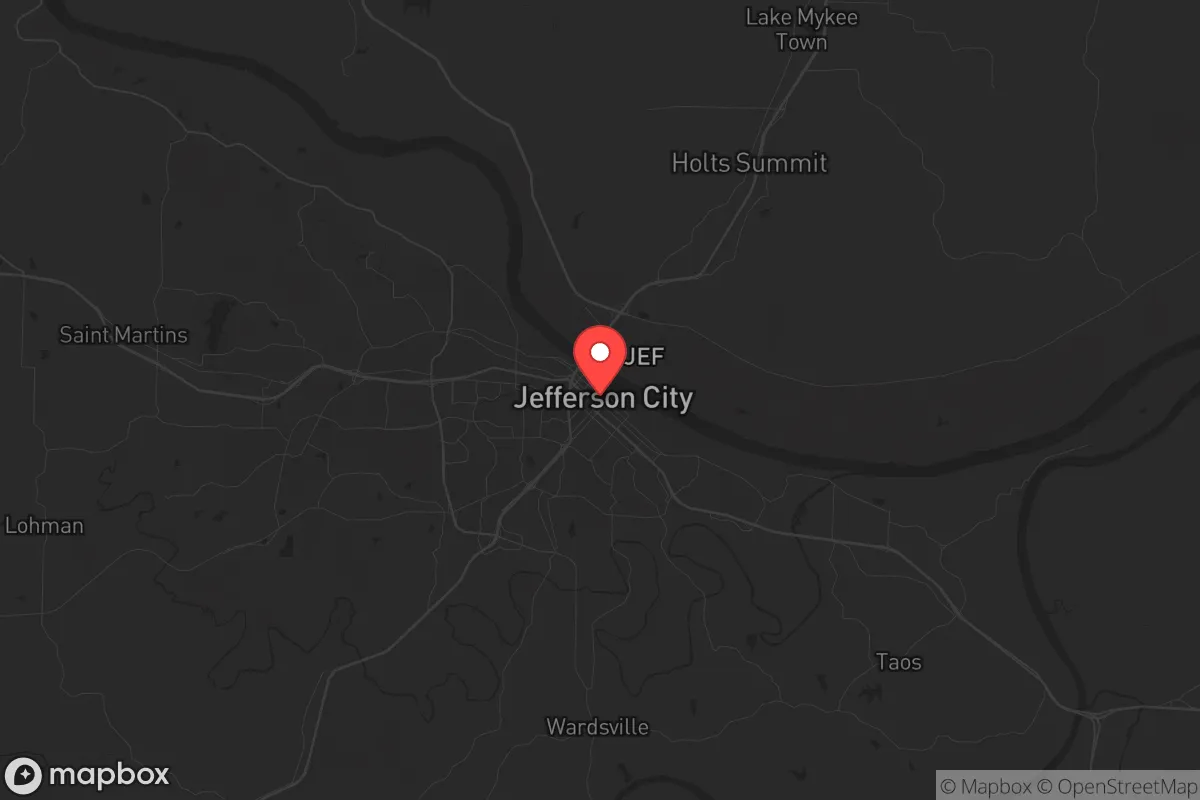
Jefferson City sits roughly in the center of the state, straddling the Missouri River at a point where the river narrows and the bluffs rise. This isn’t flat, exposed prairie—the city is carved into rolling hills and limestone bluffs that offer natural observation points and chokepoints. The river itself is a double-edged sword: it’s a reliable water source and a potential transport corridor, but it also floods. The key advantage here is that the city’s core sits on high ground, with most residential areas above the 100-year floodplain. The surrounding counties—Cole, Callaway, and Osage—are a mix of forest, pasture, and small farms, meaning you’re not dependent on a single supply chain. The Missouri River Greenway and the Katy Trail provide off-road movement options, which is a quiet but critical detail for anyone thinking about bug-out routes or resupply without using main highways. The area’s position also puts it roughly equidistant from Kansas City, St. Louis, and Springfield—each about 120-150 miles away—which means you’re outside the immediate blast radius of any major event in those cities, but close enough to monitor or access resources if needed.
Risks, exposures, and proximity to fallout-relevant landmarks
No place is a fortress, and Jefferson City has its share of vulnerabilities. The most obvious is the Missouri River itself—flooding is a recurring issue, particularly in low-lying areas like the Capital Mall area and parts of the East Side. The 2019 floods were a wake-up call, with water creeping into basements and cutting off some roads for days. For a prepper, that means elevation is non-negotiable when choosing property. The bigger concern is the city’s role as a state capital. The Missouri State Capitol building, the Governor’s Mansion, and the state office complex are all concentrated downtown. In a scenario of civil unrest or a coordinated attack, that cluster becomes a target. The same goes for the Missouri National Guard headquarters and the nearby Fort Leonard Wood (about 60 miles southwest), which is a major Army training base. While that base provides a potential security buffer, it also means military traffic and potential staging areas that could draw attention. The Callaway Nuclear Plant, about 30 miles northwest near Fulton, is another point of concern. A meltdown or sabotage event there could render large swaths of the area uninhabitable, depending on wind patterns. For the survivalist, this means having a pre-planned evacuation route south or east, away from the prevailing westerly winds. The city’s proximity to I-70 (about 30 miles north) is a double-edged sword—it’s a vital supply line, but also a likely chokepoint for refugees fleeing St. Louis or Kansas City in a crisis.
Practical resilience for a relocator: food, water, energy, and defensibility
For the individual or family looking to set up a resilient homestead, Jefferson City offers a surprisingly solid foundation. Water is the first priority, and the Missouri River is a massive, year-round source—but it requires treatment. The city’s water treatment plant pulls from the river and serves most of the metro area, but in a grid-down scenario, you’ll need your own filtration or a well. The good news is that the surrounding rural areas have good groundwater, and many properties outside city limits already have wells. Food security is strong here. The local farmers’ markets (like the one at the Capitol grounds) are active, and the surrounding counties are agricultural—corn, soybeans, cattle, and poultry are all within a 30-minute drive. For long-term storage, the area has several Mennonite and Amish communities in nearby communities like Versailles and Freeburg, which means access to non-electric tools, seed stock, and traditional skills. Energy resilience is a mixed bag. The grid is served by Ameren Missouri, which has a decent reliability record, but ice storms and summer storms can knock out power for days. Solar is viable—the area gets about 200 sunny days per year—but you’ll want battery backup or a generator for the cloudy stretches. Defensibility is where Jefferson City shines. The hills and river create natural funnels, and the city’s layout means you can control access to neighborhoods via a few key roads. The rural areas to the south and west offer even better defensibility, with dense woods and limited entry points. For a single individual or a family, a property with a good well, a garden plot, and a view of the approach roads is worth its weight in gold here.
The overall strategic picture for Jefferson City is one of calculated risk. It’s not a bunker—it’s a working town with real vulnerabilities, especially the capital complex and the nuclear plant upwind. But for the conservative-minded relocator who values self-reliance and community, it offers a rare balance. You’re far enough from the chaos of the coasts and the big Midwestern cities to breathe, but close enough to the river and the farmland to sustain yourself. The key is to buy outside the floodplain, get your own water and power sorted, and build relationships with the local farming community before you need them. If you do that, Jefferson City can be a solid anchor in a shaky world—not a paradise, but a place where preparation actually pays off.
* Values derived from national, state, county, city and local statistics and may differ in a specific area. Last updated: 2026-04-16T00:40:04.000Z
Narrative content on this page is AI-generated and may contain mistakes. Verify any details that matter before acting on them.
ReloMaps may earn a commission from affiliate links at no extra cost to you.