
Photo: Wikipedia
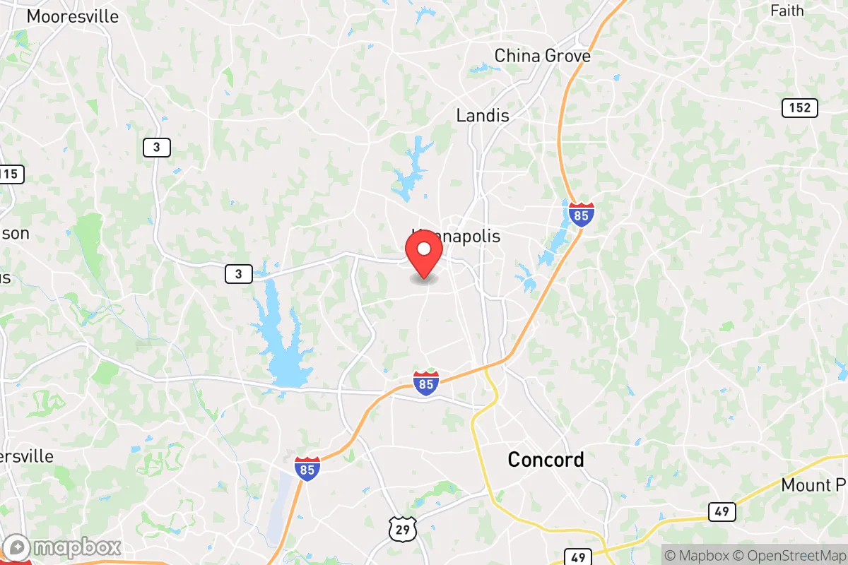
Strategic Assessment of Kannapolis, NC
Meaningful friction. Expect exposure to either population pressure, blast zones, or natural disaster risk. Consider buying a retreat property.
What does the Strategic Assessment tell us?
Our Strategic Assessment grades tactical survivability of an area. Major population centers, military targets, fallout zones, natural disasters, and border exposure all drive risk — lower exposure means a more defensible position in a crisis.
This is heavily inspired by Joel Skousen's Strategic Relocation book. Highly recommended you checkout the book ($)What does this tell us?
Our Strategic Assessment grades tactical survivability of an area. Major population centers, military targets, fallout zones, natural disasters, and border exposure all drive risk — lower exposure means a more defensible position in a crisis.
This is heavily inspired by Joel Skousen's Strategic Relocation book. Highly recommended you checkout the book ($)Strategic Pillars

Key Distances
Regional Safe Places
Below is our recommended "safe zones" in North Carolina and the surrounding area based on our strategic heuristics. For most people, it's unrealistic to live in a “safe zone” full-time due to work, family or other personal reasons. They tend to be more rural. However, many of these areas are perfect for second homes and retreat properties that double as a vacation home or even a short-term rental.


Important Note: For informational purposes only. This does not mean nothing bad ever happens in the green zones. Please use common sense. This is based on public data and modeled with AI. We tried to take a conservative approach but mistakes happen. We update this regularly as new information becomes available.
Solar Generator Recommendations
Backup power matters more here than in safer locations. We've picked three solar generators across budgets and capacity tiers — start with the budget unit if you only need a few essentials, or step up if you want to run a fridge and HVAC for days at a time.

Jackery Portable Power Station Explorer 300
Budget OptionPower on the Go: Weighing only 11 lbs, it's convenient to set up and store with book-sized foldable solar panels

BLUETTI Portable Power Station AC180
Designed for both indoor and outdoor scenarios, AC180 is highly capable as it has a robost capacity and continuous output power.

EF ECOFLOW DELTA Pro Ultra Power Station
Upgraded PickEcoFlow DELTA Pro Ultra is a whole-home energy system designed to grow with your family. Integrated with the Smart Home Panel 2, it scales to meet your evolving energy needs — keeping your home powered, intelligent, and secure through every stage of life.
We earn a commission, at no additional cost to you.
Strategic Assessment Analysis
Kannapolis, North Carolina, sits in a strategic sweet spot that resilience-minded relocators should take seriously: close enough to Charlotte’s economic engine to sustain a career, yet far enough from the urban core to avoid the worst of a collapse scenario. The city’s post-textile reinvention—anchored by the North Carolina Research Campus and a growing biotech sector—signals a community that adapts rather than withers. For someone weighing long-term security against access to opportunity, Kannapolis offers a rare combination of industrial backbone, agricultural adjacency, and geographic insulation that merits a hard look.
Geographic position and natural advantages for long-term security
Kannapolis sits in Cabarrus County, roughly 20 miles northeast of Charlotte’s center. That distance matters. In a grid-down or civil unrest scenario, the urban chaos of a major metro area tends to radiate outward, but 20 miles of suburban and exurban sprawl provides a buffer—not impenetrable, but enough to buy time. The city lies in the Piedmont region, a rolling plateau that avoids the flood-prone coastal plain and the landslide risks of the western mountains. The terrain is gentle, with elevations around 700 feet, which means good drainage and minimal wildfire risk compared to the dry West. Water is the real asset here. Kannapolis sits near the Catawba River watershed, and the region’s annual rainfall averages 44 inches, spread evenly enough to keep reservoirs and wells reliable. The Yadkin-Pee Dee River basin is also within reach, giving a relocator multiple water sources if one system fails. The climate is humid subtropical—hot summers, mild winters—which means year-round growing seasons for food production. A savvy prepper can put in a garden in March and harvest into November. The area’s natural advantages boil down to abundant water, moderate climate, and a topography that doesn’t amplify disasters—a solid foundation for any long-term plan.
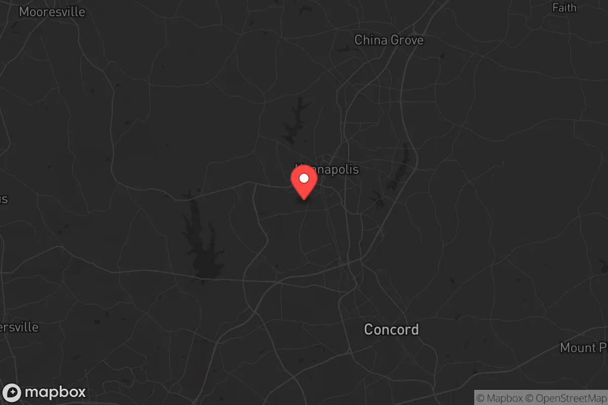
Risks, exposures, and proximity to fallout-relevant landmarks
No location is risk-free, and Kannapolis has its share of exposures that a survivalist must weigh. The biggest concern is proximity to Charlotte, a city of nearly 900,000 that sits on major interstate corridors (I-85, I-77) and hosts a financial sector that could become a target during civil unrest or economic collapse. In a mass casualty event—say, a coordinated attack on financial infrastructure—Charlotte’s banking towers and airport (CLT) are high-value targets. Kannapolis is far enough to avoid the blast radius of a conventional strike, but fallout patterns depend on wind direction. The prevailing winds in the region blow from the southwest, meaning any airborne contamination from Charlotte would push northeast—directly toward Kannapolis. That’s a sobering detail. Additionally, the city lies within 30 miles of the McGuire Nuclear Station (Lake Norman), a dual-reactor facility that, while well-regulated, represents a worst-case radiation release scenario. A plume from McGuire would drift east-northeast, putting Kannapolis in the danger zone. On the plus side, the area has no major chemical plants, refineries, or military bases that scream “target.” The risks are real but manageable with planning: a good shelter-in-place plan for nuclear fallout and a bug-out route heading west or south can mitigate the Charlotte and McGuire threats. The broader region is also prone to the occasional hurricane remnant and ice storm, but those are slow-moving events that give days of warning—not the sudden collapse scenarios that keep preppers up at night.
Practical resilience for a relocator: food, water, energy, and defensibility
Kannapolis’s practical resilience is where the analysis gets interesting. Food security is strong. The surrounding Cabarrus and Rowan counties are still agricultural, with working farms producing poultry, cattle, soybeans, and corn. The city itself has a growing network of farmers’ markets and community gardens, but the real advantage is land availability. A relocator buying a few acres on the outskirts—say, near the town of Mount Pleasant or along the rural stretches of Highway 73—can establish a homestead with relative ease. Soil quality in the Piedmont is decent for vegetables and fruit trees, and the long growing season means multiple harvests. Water is the bigger question. Municipal water comes from the Catawka River via the city of Concord’s system, which is vulnerable to contamination or pressure loss in a crisis. A well is the gold standard here. Cabarrus County has good groundwater potential, with wells typically hitting adequate yields at 100-200 feet. Installing a hand pump or solar-powered well pump before a crisis is a non-negotiable step for anyone serious about long-term independence. Energy resilience is mixed. Duke Energy runs the grid, and outages happen during storms, but solar potential is solid—the region gets about 4.5 peak sun hours per day, enough for a modest off-grid setup. Natural gas is available in suburban areas, but rural properties may rely on propane. Defensibility is Kannapolis’s weak point. The city is flat and sprawling, with no natural chokepoints like rivers or ridges to control access. Suburban subdivisions with cul-de-sacs offer some perimeter control, but a determined group could move through the area easily. The best strategy is to locate on a rural property with a long driveway, tree cover, and a clear line of sight to the road. The local population is generally conservative and self-reliant—Cabarrus County voted +18 for Trump in 2020—which means a higher likelihood of neighbors who share your mindset and will band together rather than loot. Community cohesion is a force multiplier in a collapse, and Kannapolis has it in spades.
The overall strategic picture for Kannapolis is cautiously optimistic. It’s not a remote bunker location—you’re still within a day’s walk of Charlotte’s chaos—but it offers a balanced profile for someone who wants to maintain a professional life while building a resilient homestead. The water abundance, agricultural potential, and conservative social fabric are genuine assets. The nuclear plant and Charlotte proximity are real liabilities that require specific mitigation plans. For a single individual or a family willing to invest in a well, solar panels, and a fallout shelter, Kannapolis provides a launchpad for long-term survival without forcing a complete retreat from modern life. The key is to treat it as a base of operations, not a fortress—stay aware of the threats, build your local network, and have a plan to bug out west if the Charlotte corridor becomes untenable. In a world where most cities are ticking time bombs, Kannapolis is a place where you can breathe, plant roots, and wait out the storm with a fighting chance.
* Values derived from national, state, county, city and local statistics and may differ in a specific area. Last updated: 2026-05-03T04:57:49.000Z
Narrative content on this page is AI-generated and may contain mistakes. Verify any details that matter before acting on them.
ReloMaps may earn a commission from affiliate links at no extra cost to you.