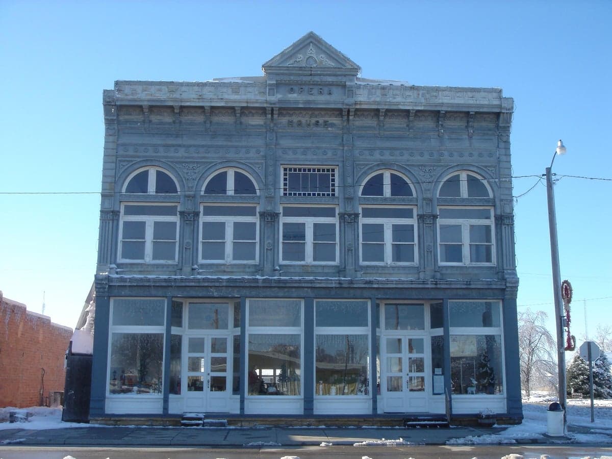
Photo: Wikipedia
Strategic Assessment of Gove County
Deep buffer from population centers and strategic targets. Low natural disaster risk and minimal exposure to border or coastal threats.
What does the Strategic Assessment tell us?
Our Strategic Assessment grades tactical survivability of an area. Major population centers, military targets, fallout zones, natural disasters, and border exposure all drive risk — lower exposure means a more defensible position in a crisis.
This is heavily inspired by Joel Skousen's Strategic Relocation book. Highly recommended you checkout the book ($)What does this tell us?
Our Strategic Assessment grades tactical survivability of an area. Major population centers, military targets, fallout zones, natural disasters, and border exposure all drive risk — lower exposure means a more defensible position in a crisis.
This is heavily inspired by Joel Skousen's Strategic Relocation book. Highly recommended you checkout the book ($)Strategic Pillars

Key Distances
Strategic Assessment Analysis
Gove County, Kansas, offers a strategic relocation option for those prioritizing resilience and self-sufficiency, anchored by its extreme rurality and distance from major metropolitan targets. Located in the High Plains region of western Kansas, the county’s sparse population—roughly 2,700 residents spread over 1,072 square miles—provides inherent advantages in terms of low population density and reduced exposure to cascading failures from urban centers. The county seat, Gove City, and the unincorporated community of Grainfield serve as practical hubs, while the broader area’s agricultural economy and isolation from major interstate corridors create a baseline of stability that appeals to readers focused on long-term preparedness.
Geographic position and natural advantages for long-term stability
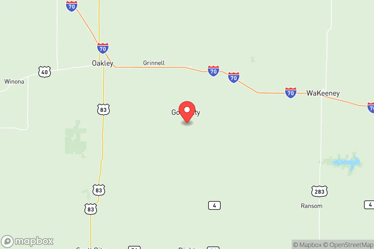
Gove County sits in the heart of the Great Plains, roughly 200 miles from Denver and 300 miles from Kansas City, placing it well outside the immediate fallout zones of major population centers or strategic military targets. The county is bisected by the Smoky Hill River, which provides a modest but reliable surface water source, and the terrain is predominantly flat to gently rolling prairie, offering clear sightlines and limited natural cover—a trade-off that aids surveillance but reduces defensibility against weather. The area’s elevation, around 2,800 feet, contributes to a semi-arid climate with low humidity, reducing the risk of mold and structural decay in stored supplies. The absence of major industrial facilities, refineries, or military bases within a 100-mile radius—the nearest significant installation being Fort Riley, over 150 miles east—means the county is unlikely to be a secondary target in a conflict scenario. The local economy is dominated by wheat, corn, and cattle operations, with the county’s agricultural output providing a built-in food production base that could be leveraged in a prolonged disruption.
Risks, exposures, and proximity to fallout-relevant landmarks
While Gove County’s isolation is a strength, it is not immune to risks. The primary natural threat is severe weather, including tornadoes, hailstorms, and blizzards, which can disrupt power and transportation for days. The county lies within Tornado Alley, and the flat terrain offers little protection from high winds. Man-made risks are minimal due to the lack of nearby high-value targets: the nearest nuclear power plant is the Wolf Creek Generating Station near Burlington, over 250 miles east, and the closest major military installation is Fort Riley, which is far enough to avoid direct fallout but could see increased traffic if regional instability escalates. The county’s position along Interstate 70, which runs through its southern edge near the town of Quinter, is a double-edged sword—it provides evacuation routes and supply access but also funnels transient populations through the area during a crisis. The nearest major rail lines, used for grain transport, are a potential vector for hazardous material spills, though such events are rare. For a relocator, the key exposure is not direct attack but the possibility of being overwhelmed by refugees from Denver or Kansas City if those areas are compromised, as the county’s limited infrastructure could struggle to absorb a sudden influx.
Practical resilience for a relocator: food, water, energy, and defensibility
Gove County’s practical resilience is mixed but generally favorable for those willing to invest in off-grid systems. Water availability is the most critical factor: the county sits atop the Ogallala Aquifer, but groundwater levels are declining, and many wells require deep drilling (200-400 feet) to reach reliable yields. Surface water from the Smoky Hill River is seasonal and subject to drought, so rainwater catchment and storage are advisable. The county’s agricultural base means local food production is feasible, with grain elevators in Grainfield and Grinnell providing bulk storage, and livestock operations offering protein sources. Energy infrastructure is limited: the grid is served by Western Cooperative Electric, but outages during storms are common, making solar panels with battery backup a practical investment. Natural gas is available in some areas, but propane delivery is more common for heating. Defensibility is a challenge due to the open terrain—a single homestead is visible for miles—but the low population density means neighbors are few, reducing the risk of conflict over resources. The county’s small towns, such as Park and Quinter, have volunteer fire departments and basic law enforcement, but emergency response times can exceed 30 minutes in rural areas. For a relocator, the best approach is to establish a self-sufficient homestead with a secure water source, renewable energy, and a stockpile of supplies, while building relationships with local farmers for barter and mutual aid.
Overall, Gove County presents a viable strategic option for those seeking a low-profile, agriculturally self-sufficient base far from the vulnerabilities of urban and industrial centers. Its strengths lie in its isolation, low population density, and existing food production capacity, while its weaknesses include water scarcity, severe weather risks, and limited emergency infrastructure. For a relocator willing to invest in off-grid systems and build local connections, the county offers a stable, defensible environment that balances resilience with the practical challenges of life on the High Plains. The key is to arrive prepared, not expecting the county to provide for you, but to leverage its natural advantages as a foundation for long-term self-reliance.

* Values derived from national, state, county, city and local statistics and may differ in a specific area. Last updated: 2026-08-26T03:20:10.000Z
Narrative content on this page is AI-generated and may contain mistakes. Verify any details that matter before acting on them.
ReloMaps may earn a commission from affiliate links at no extra cost to you.

