Photo: Wikipedia
Strategic Assessment of Keene, NH
Meaningful friction. Expect exposure to either population pressure, blast zones, or natural disaster risk. Consider buying a retreat property.
What does the Strategic Assessment tell us?
Our Strategic Assessment grades tactical survivability of an area. Major population centers, military targets, fallout zones, natural disasters, and border exposure all drive risk — lower exposure means a more defensible position in a crisis.
This is heavily inspired by Joel Skousen's Strategic Relocation book. Highly recommended you checkout the book ($)What does this tell us?
Our Strategic Assessment grades tactical survivability of an area. Major population centers, military targets, fallout zones, natural disasters, and border exposure all drive risk — lower exposure means a more defensible position in a crisis.
This is heavily inspired by Joel Skousen's Strategic Relocation book. Highly recommended you checkout the book ($)Strategic Pillars

Key Distances
Regional Safe Places
Below is our recommended "safe zones" in New Hampshire and the surrounding area based on our strategic heuristics. For most people, it's unrealistic to live in a “safe zone” full-time due to work, family or other personal reasons. They tend to be more rural. However, many of these areas are perfect for second homes and retreat properties that double as a vacation home or even a short-term rental.


Important Note: For informational purposes only. This does not mean nothing bad ever happens in the green zones. Please use common sense. This is based on public data and modeled with AI. We tried to take a conservative approach but mistakes happen. We update this regularly as new information becomes available.
Solar Generator Recommendations
Backup power matters more here than in safer locations. We've picked three solar generators across budgets and capacity tiers — start with the budget unit if you only need a few essentials, or step up if you want to run a fridge and HVAC for days at a time.

Jackery Portable Power Station Explorer 300
Budget OptionPower on the Go: Weighing only 11 lbs, it's convenient to set up and store with book-sized foldable solar panels

BLUETTI Portable Power Station AC180
Designed for both indoor and outdoor scenarios, AC180 is highly capable as it has a robost capacity and continuous output power.

EF ECOFLOW DELTA Pro Ultra Power Station
Upgraded PickEcoFlow DELTA Pro Ultra is a whole-home energy system designed to grow with your family. Integrated with the Smart Home Panel 2, it scales to meet your evolving energy needs — keeping your home powered, intelligent, and secure through every stage of life.
We earn a commission, at no additional cost to you.
Strategic Assessment Analysis
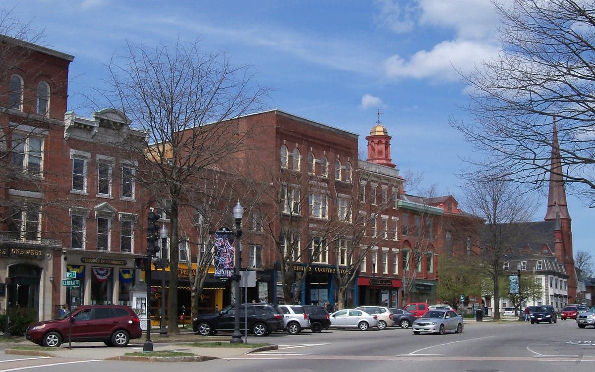
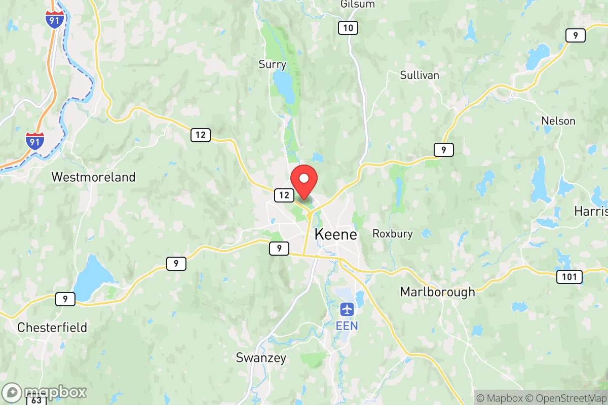
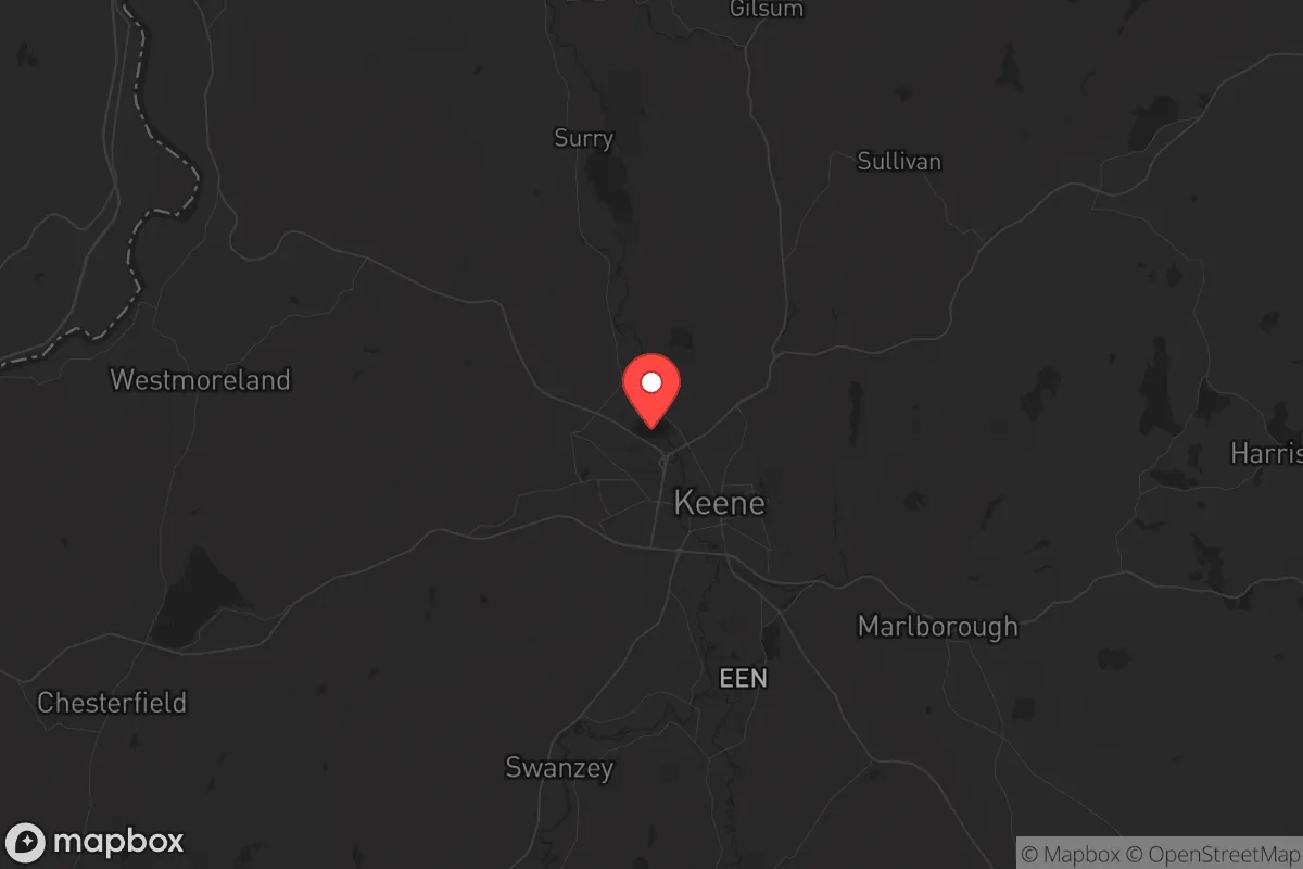
Keene, New Hampshire, sits in a geographic sweet spot that offers genuine strategic depth for those thinking seriously about resilience, but it’s not without real trade-offs. Nestled in the Monadnock Region of southwestern New Hampshire, roughly 90 miles from Boston and 50 miles from Manchester, Keene provides enough distance from major population centers to avoid the worst of any urban collapse scenario, yet remains close enough to access critical supplies or medical care if the grid holds. The city’s position along the Ashuelot River, surrounded by the low but rugged hills of the Cheshire County highlands, gives it natural defensibility and a degree of isolation that larger towns in the Merrimack Valley simply lack. For a relocator weighing long-term stability against exposure to cascading failures, Keene offers a credible base camp—but only if you understand its specific vulnerabilities and plan accordingly.
Geographic position and natural advantages for long-term stability
Keene’s primary strategic asset is its location within a natural bowl formed by the Monadnock highlands, which provides both physical separation from major transit corridors and a moderate microclimate that supports agriculture. The city sits at roughly 500 feet elevation, with surrounding hills rising to over 1,500 feet, creating a natural barrier that slows movement and limits line-of-sight threats. The Ashuelot River, a tributary of the Connecticut River, runs through the center of town and offers a reliable surface water source—critical if municipal systems fail. The surrounding Cheshire County is heavily forested, with over 75% tree cover, providing ample cover, fuel, and raw materials for those with basic bushcraft skills. The region’s soils, while rocky, are workable for small-scale food production, and the growing season (roughly 140 days) is long enough for cold-hardy crops like potatoes, kale, and root vegetables. Keene’s position also places it within a 30-minute drive of the Connecticut River Valley, a major agricultural corridor with rich alluvial soils and established farms that could serve as supply nodes in a prolonged disruption.
Risks, exposures, and proximity to fallout-relevant landmarks
No strategic assessment is honest without acknowledging Keene’s exposure to cascading risks. The most immediate concern is the city’s proximity to the Vermont Yankee nuclear power plant site in Vernon, Vermont, just 12 miles west. While the plant was decommissioned in 2014, spent fuel remains stored on-site in dry casks, and any major seismic event or targeted attack could release radioactive material. Prevailing winds in the region blow from the west and southwest, meaning a release would push directly over Keene within hours. Additionally, the city lies within 100 miles of the Seabrook Nuclear Power Station in New Hampshire and the Pilgrim Nuclear Power Station in Massachusetts—both of which are still operational or in decommissioning with spent fuel. For a prepper, this means Keene sits in a moderate fallout risk zone, not a safe zone. Beyond nuclear concerns, the city’s reliance on a single major highway—NH Route 9, which connects to I-91 in Vermont and I-89 in New Hampshire—creates a chokepoint vulnerability. A bridge failure, civil unrest in Keene’s downtown, or a coordinated roadblock could isolate the area from external resupply. The city’s population of roughly 23,000, while small, is dense enough that a pandemic or food distribution failure could trigger localized unrest, particularly if the college (Keene State College) empties thousands of students into the community without support.
Practical resilience for a relocator: food, water, energy, and defensibility
For a relocator serious about self-sufficiency, Keene’s practical resilience is a mixed bag. Water is the strongest asset: the Ashuelot River is perennial and accessible from multiple points along the city’s 2.5-mile riverwalk, and the surrounding hills hold numerous small streams and springs. A basic gravity-fed filtration system or a well on a rural property within 10 miles of town would provide indefinite supply. Food production is feasible but not automatic. The city’s zoning allows for backyard chickens and small livestock within city limits, and the Cheshire County Conservation District runs programs supporting home gardening. However, the rocky soil means raised beds or imported topsoil are nearly mandatory for serious yields. The Monadnock Food Co-op and local farmers’ markets provide a buffer in normal times, but in a collapse scenario, those supply chains vanish. Energy is a vulnerability. Keene’s grid is tied to Eversource, which has a mixed reliability record in winter storms. Solar potential is moderate—the region averages 160 sunny days per year, below the national average—but a south-facing roof with battery storage can cover basic loads for a single-family home. Wood heat is the region’s ace in the hole: the surrounding forests provide abundant firewood, and most older homes have wood stoves or fireplaces. Defensibility is situational. The city’s layout—a compact downtown with residential neighborhoods radiating outward—makes it hard to secure a single perimeter. A better approach is to locate on the rural fringe, ideally on a dead-end road with a clear field of fire and a backup route through the woods. Properties in the towns of Swanzey, Marlborough, or Troy (all within 15 minutes of Keene) offer better defensibility with similar access to the river and forests.
The overall strategic picture for a conservative-minded relocator
Keene is not a bug-out paradise, nor is it a high-risk urban trap. It occupies a middle ground that rewards preparation and penalizes complacency. For a single individual or family willing to invest in off-grid water, wood heat, and a defensible rural property within 20 minutes of town, Keene offers a credible base for riding out regional disruptions—whether from economic collapse, civil unrest, or a cascading infrastructure failure. The city’s conservative leanings (Cheshire County voted +12 for Trump in 2020, though Keene itself is more purple) mean you’ll find like-minded neighbors and a local culture that values self-reliance, but you’ll also encounter a significant progressive population centered around the college. The real risk is the nuclear shadow from Vermont Yankee and the single-road vulnerability. If you can mitigate those—by stockpiling potassium iodide, maintaining a vehicle with off-road capability, and establishing a secondary cache in the hills to the east—Keene becomes a solid strategic choice. If you ignore those risks, you’re just living in a pretty New England town with a false sense of security. The choice is yours.
* Values derived from national, state, county, city and local statistics and may differ in a specific area. Last updated: 2026-05-02T05:42:10.000Z
Narrative content on this page is AI-generated and may contain mistakes. Verify any details that matter before acting on them.
ReloMaps may earn a commission from affiliate links at no extra cost to you.