
Photo: Wikipedia
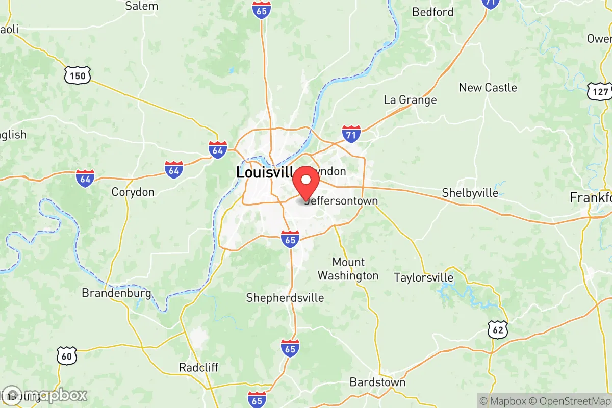
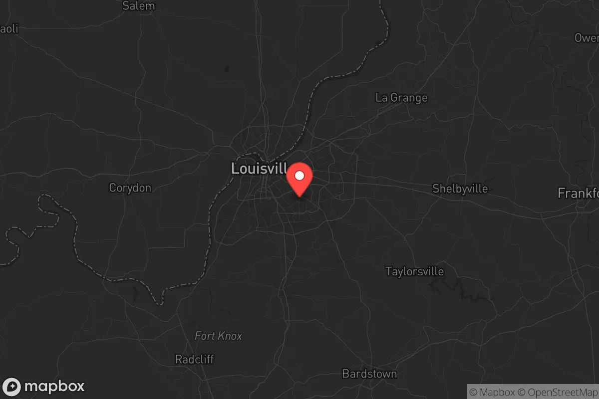
Strategic Assessment of Jefferson County
Multiple tactical vulnerabilities. Population density, target proximity, or disaster risk are likely compounding. A retreat property and exit planning is required.
What does the Strategic Assessment tell us?
Our Strategic Assessment grades tactical survivability of an area. Major population centers, military targets, fallout zones, natural disasters, and border exposure all drive risk — lower exposure means a more defensible position in a crisis.
This is heavily inspired by Joel Skousen's Strategic Relocation book. Highly recommended you checkout the book ($)What does this tell us?
Our Strategic Assessment grades tactical survivability of an area. Major population centers, military targets, fallout zones, natural disasters, and border exposure all drive risk — lower exposure means a more defensible position in a crisis.
This is heavily inspired by Joel Skousen's Strategic Relocation book. Highly recommended you checkout the book ($)Strategic Pillars

Key Distances
Strategic Assessment Analysis
Jefferson County, Kentucky — anchored by Louisville — presents a mixed bag for the strategic relocator. Its position along the Ohio River offers genuine logistical advantages for long-term resilience, but the county’s dense urban core, industrial infrastructure, and proximity to multiple high-value targets create serious exposure risks. For a conservative-leaning individual or family prioritizing preparedness, this is not a bug-out destination; it’s a location that demands careful site selection within the county and a clear-eyed understanding of what happens when things go sideways.
Geographic position and natural advantages for long-term survival
Jefferson County sits at the Falls of the Ohio, a natural chokepoint that has historically made Louisville a transportation hub. The Ohio River provides a reliable, year-round water source — critical for both consumption and potential hydropower — and the surrounding topography offers more defensible terrain than the flat expanses to the west. The county’s location at the intersection of I-65, I-64, and I-71 means it’s a crossroads for regional movement, but that same connectivity makes it a likely chokepoint during any large-scale evacuation or supply disruption. The Kentucky and Indiana sides of the river are connected by the Sherman Minton Bridge and the Clark Memorial Bridge, both of which are potential single-point-of-failure risks during a crisis. For a relocator, the natural advantages are real: the river, the limestone bedrock underlying much of the county, and the proximity to the Knobs region to the east (which offers higher ground and more rural buffer) give Jefferson County a baseline resilience that flat, riverless counties lack. But those advantages are only as good as your ability to secure a defensible position away from the urban core.
Risks, exposures, and proximity to fallout-relevant landmarks
This is where Jefferson County becomes a hard sell for the serious prepper. Louisville is home to the Louisville International Airport (SDF), a major UPS Worldport hub that processes millions of packages daily — a prime target for any disruption scenario, from EMP to coordinated attack. The county also contains the Rubbertown industrial corridor along the Ohio River, a dense cluster of chemical plants including Dow, DuPont, and others that produce and store hazardous materials. A major incident at Rubbertown — whether accidental or intentional — could render large portions of western and southwestern Jefferson County uninhabitable for weeks. Additionally, the Fort Knox military installation lies just 35 miles to the southwest, a high-value target for any adversary. While Fort Knox is a plus for security-minded individuals (active-duty presence, hardened infrastructure), it also means the area is on the short list for any strategic strike. The Ohio River locks and dams — particularly the McAlpine Locks and Dam within the county — are critical infrastructure that, if compromised, could disrupt river traffic and flood low-lying areas. For a relocator, the takeaway is clear: avoid the western half of the county, stay east of I-65, and understand that the urban core is a liability, not an asset, in a crisis.
Practical resilience for a relocator: food, water, energy, and defensibility
Water is the strongest card Jefferson County holds. The Ohio River is a massive, unfiltered resource, but it’s also heavily polluted upstream from industrial discharge and agricultural runoff. A serious prepper would need a robust filtration system — think Berkey or a sand-and-charcoal setup — and a plan to access the river from a point away from known discharge sites. The county’s water utility, Louisville Water Company, draws from the river and treats it, but that system is vulnerable to both physical attack and contamination events. For food, the county has limited agricultural land within its borders; most of the fertile soil is in the surrounding counties of Oldham, Shelby, and Spencer. A relocator would need to establish relationships with farmers in those areas or secure land for personal production. Energy is a mixed picture: LG&E provides grid power, but the county has no significant natural gas reserves and relies on external pipelines. Solar is viable — the region gets about 200 sunny days per year — but tree cover in the eastern suburbs limits rooftop potential. Defensibility is the biggest challenge. Jefferson County is 385 square miles with a population density of over 2,000 people per square mile in the urban core. Even the eastern suburbs — areas like Middletown, Prospect, and Anchorage — are within 20 minutes of downtown and lack natural barriers. The best defensive posture is to secure a property on the county’s eastern edge, near the Jefferson County Memorial Forest, which offers 6,000 acres of wooded buffer and higher elevation. But even there, you’re within a 30-minute drive of the urban center, meaning any civil unrest or evacuation wave will reach you quickly.
The overall strategic picture for Jefferson County is one of high risk with moderate reward. The Ohio River and the county’s central location offer genuine logistical advantages for a prepared individual who can secure a defensible property on the eastern fringe. But the concentration of industrial targets — Rubbertown, the airport, the locks and dam, and the proximity to Fort Knox — make it a likely flashpoint in any major disruption. For a conservative relocator who values community, infrastructure, and access to resources, Jefferson County is not a bad choice if you’re willing to invest in serious preparation: a well-stocked retreat on the eastern edge, a reliable water filtration system, and a network of contacts in the surrounding rural counties. But if your goal is to be truly off the grid and out of harm’s way, you’re better off looking at the Knobs region to the east or the farmland to the south. Jefferson County is a hub, not a hideout — and in a crisis, hubs attract trouble.
* Values derived from national, state, county, city and local statistics and may differ in a specific area. Last updated: 2026-05-12T12:12:53.000Z
Narrative content on this page is AI-generated and may contain mistakes. Verify any details that matter before acting on them.
ReloMaps may earn a commission from affiliate links at no extra cost to you.