Photo: Wikipedia
Demographics of Kirkwood, MO
Affluence Level in Kirkwood, MO
An upper-middle-class area. Household wealth, education levels, and homeownership run ahead of national benchmarks.
People of Kirkwood, MO
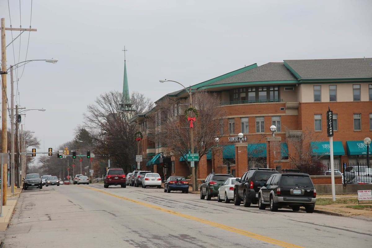
Kirkwood, Missouri, is a historic inner-ring suburb of St. Louis with a population of 29,302 that remains predominantly white (81.5%) and highly educated (66.2% college-educated). The city is characterized by a strong preservationist ethos, a walkable downtown anchored by the Kirkwood Train Station, and a demographic profile that has changed slowly compared to neighboring municipalities. Its residents are a mix of multi-generational families, St. Louis professionals, and a small but growing number of younger families drawn by top-rated Kirkwood School District schools and the city's historic housing stock.
How the city was settled and grew
Kirkwood was founded in 1853 as one of the first planned suburbs in the United States, built around the new Pacific Railroad line that connected St. Louis to the western territories. The original population was drawn by land speculators and developers who marketed the area as a healthy, rural retreat for St. Louis's merchant and professional classes. The earliest residents were overwhelmingly white, Protestant, and of German and English ancestry, with many building large Victorian homes in what is now the Historic District around Argonne Drive and Kirkwood Road. The city's growth accelerated after the 1904 World's Fair in St. Louis, which spurred streetcar suburbs and brought a second wave of middle-class families to neighborhoods like Meacham Park, originally a separate African American settlement founded by formerly enslaved people and their descendants after the Civil War. By the 1920s, Kirkwood had become a solidly upper-middle-class enclave, with its own hospital, library, and a commercial district that served as a regional hub for western St. Louis County. The post-World War II boom added thousands of single-family homes in subdivisions like Geyer Woods and Westglen Estates, filled by returning veterans and their families, nearly all white, who were drawn by the city's reputation for excellent schools and low crime.
Modern era (post-1965)
The 1965 Hart-Cellar Act and subsequent civil rights-era migration brought modest demographic change to Kirkwood, but the city remained overwhelmingly white through the 1990s. The most significant shift occurred in the Meacham Park neighborhood, which had been a historically Black enclave since the 1860s. In the 1990s and 2000s, the city annexed and redeveloped parts of Meacham Park, replacing older housing stock with new construction that attracted a mix of white and Black residents, though the neighborhood's Black population share declined as property values rose. Today, Kirkwood's Black population stands at 4.9%, concentrated primarily in Meacham Park and the adjacent North Kirkwood area near Interstate 44. The Hispanic population is 3.1%, with families living mostly in the Kirkwood Heights area near Big Bend Road, drawn by service-sector jobs and rental housing. East and Southeast Asian residents (1.6%) are scattered across the city, with a small cluster near the Kirkwood Commons shopping district, often employed in medical or tech fields at nearby employers like Mercy Hospital St. Louis or Boeing. The Indian subcontinent population (0.2%) is negligible, and the foreign-born share overall is just 1.0%, making Kirkwood one of the least immigrant-dense suburbs in St. Louis County. The city's population has been essentially flat since 2000, fluctuating between 29,000 and 30,000, as new construction has been limited by strict historic preservation rules and a built-out land area of roughly 9 square miles.
The future
Kirkwood's population is likely to remain stable and predominantly white over the next 10–20 years, with modest growth in Hispanic and East/Southeast Asian households as younger families seek the city's school district but are priced out of the historic core. The city's housing stock—dominated by single-family homes with a median value above $400,000—limits in-migration by lower-income households, and the 1.0% foreign-born share is unlikely to rise significantly without new multi-family development. The Meacham Park neighborhood may continue to diversify racially as older Black homeowners sell to white buyers, but the overall Black population share is unlikely to exceed 6–7% given the city's high property costs. The most notable trend is an aging population: the share of residents over 65 is above the county average, and younger families are increasingly choosing newer suburbs like Wildwood or Wentzville for larger lots and lower taxes. Kirkwood is not homogenizing into a single enclave, but rather tribalizing along income lines, with the historic district and Geyer Woods remaining wealthy and white, while North Kirkwood and Kirkwood Heights absorb most of the city's modest diversity.
For a conservative-leaning individual or family moving to Kirkwood today, the city offers a stable, safe, and highly educated community with a strong sense of local identity and minimal demographic upheaval. The trade-off is a high cost of entry, limited housing inventory, and a population that is older and less diverse than the region as a whole. Kirkwood is becoming a classic preservationist suburb—wealthy, white, and wary of change—where the biggest question for newcomers is not who is moving in, but whether they can afford to stay.
* Values derived from national, state, county, city and local statistics and may differ in a specific area. Last updated: 2026-04-30T13:24:11.000Z
Narrative content on this page is AI-generated and may contain mistakes. Verify any details that matter before acting on them.
ReloMaps may earn a commission from affiliate links at no extra cost to you.